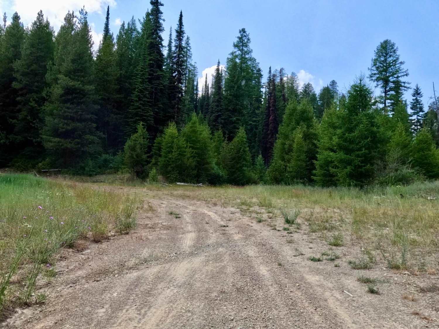
Cold Peak Trail (FSR 3803)
Total Miles
11.9
Elevation
1,799.66 ft
Duration
1.5 Hours
Technical Rating
Best Time
Spring, Summer, Fall
Trail Overview
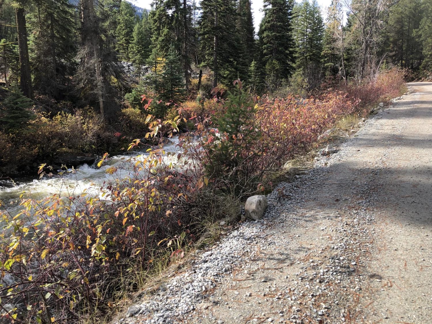
The Route Starts at an elevation of 2980 feet and climbs to 3200 feet along a mostly gravel and loose rock roadbed. It has many curves with steep embankments that you need to be aware of. The route can be pretty dusty in dry weather. Places to pass other vehicles are along the route. The route sees little traffic as it has a locked gate. Cell service is sporadic along the route. Downed trees could be over the route in places.
Photos of Cold Peak Trail (FSR 3803)
Difficulty
Route is mainly made up of gravel and loose rock. Dusty when it is dry and downed trees could be a problem without a chain saw.
Status Reports
Popular Trails
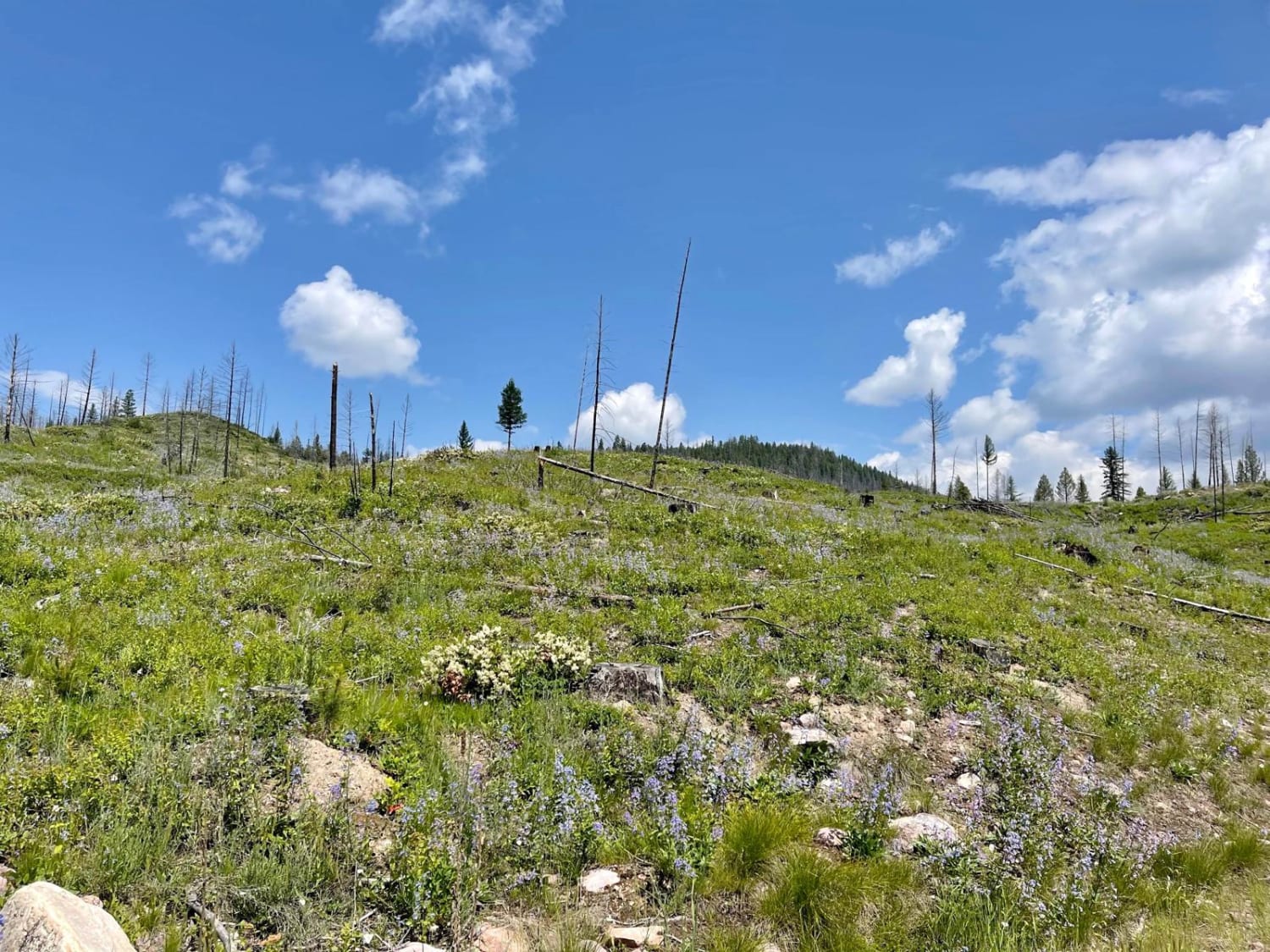
Auggie Cutoff Trail
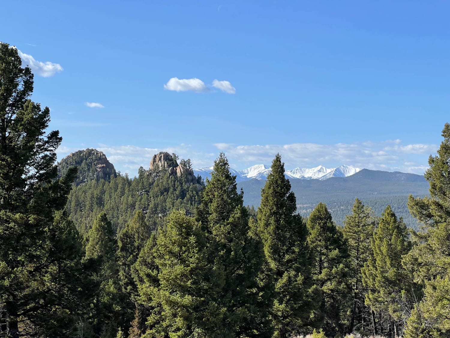
Spire Flat Track 8635
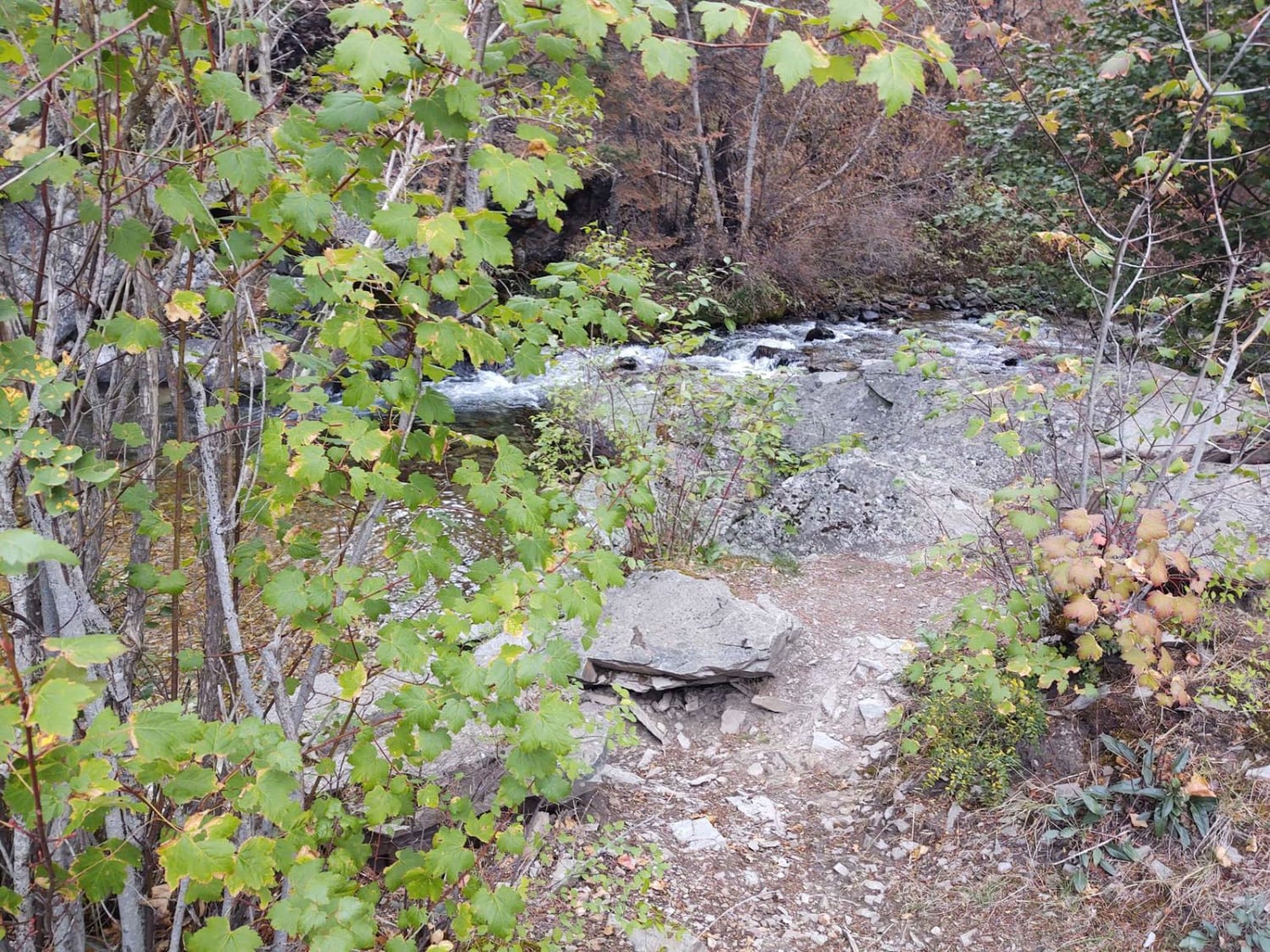
Graves Creek Falls/Vermilion
Lost Horse Creek Trail
The onX Offroad Difference
onX Offroad combines trail photos, descriptions, difficulty ratings, width restrictions, seasonality, and more in a user-friendly interface. Available on all devices, with offline access and full compatibility with CarPlay and Android Auto. Discover what you’re missing today!

