Corbly Gulch
Total Miles
6.2
Technical Rating
Best Time
Summer, Fall
Trail Type
Single Track
Accessible By
Trail Overview
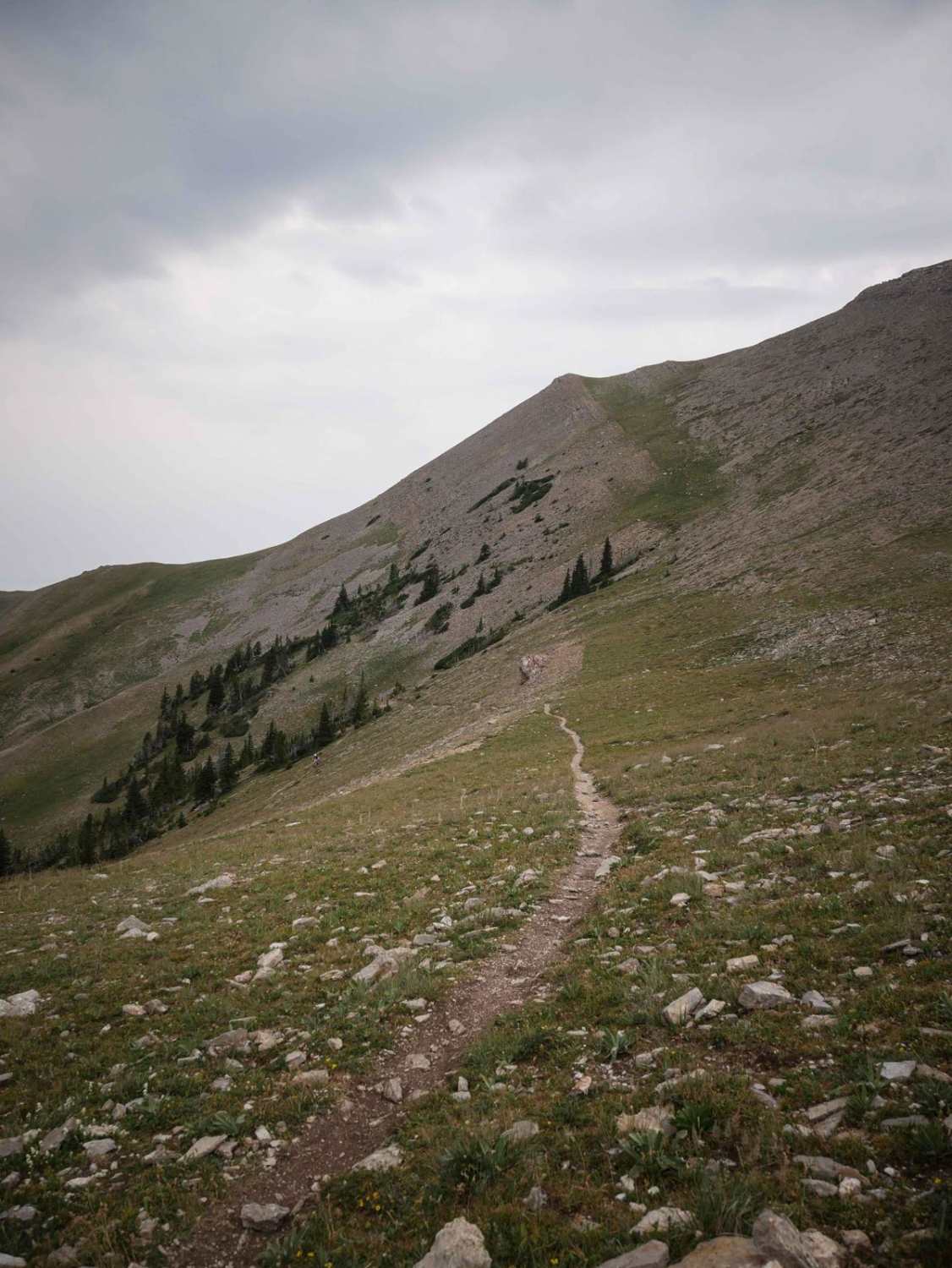
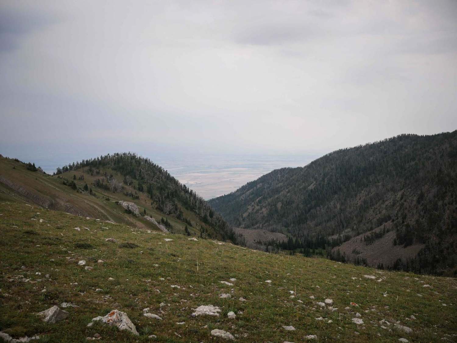
Corbly Gulch is a 6.7-mile-long single track in the Gallatin National Forest north of Bozeman, Montana. From east to west, it's a steep descent almost the entire way, dropping down the mountain from the intersection of Bridger Ridge. It starts in the high elevation at the intersection with Bridger Ridge, near the summit of Sacagawea Peak, as a skinny trail through the exposed hillside over loose rocks. There are several switchbacks to get down from the mountaintop. They are wider and less tight than the switchbacks on Bridger Ridge, but from here the trail only gets more technical as it keeps descending. It starts to have bigger rocks and boulders in the trail. There are several sections where there is a series of 1-2 foot rock ledges while descending down the narrow trail. After the first few easier switchbacks, there is a really nasty section of tight and rocky switchbacks with embedded boulders, rock ledges in the corners, loose boulders, and ruts and roots. This is definitely a very hard section for the average rider, especially if going up. Locals were walking their bikes down. There's a creek running through this section too, so the rocks get wet, which makes it even harder. The trail is less steep after that, but there are more really rocky sections with embedded boulders and roots that require tight maneuvering. It crosses several small streams, and the southern end gets easier as it is smooth and flowy with fewer rocks. The trail has great views of the Bridger Range and lots of purple lupin wildflowers. It's really fun for those looking for a good challenge. This trail is open 6/16 - 10/14 for motorized use.
Photos of Corbly Gulch
Difficulty
The advanced difficulty comes from constant rocky sections that are technical, including challenging ledges on steep slopes, rocky switchbacks, and just a constant rocky surface. The crux of the trail is a very rocky uphill before the final switchbacks on the east end, which is about an 8 difficulty to get up, and about a 7 to get down.
Corbly Gulch can be accessed by the following ride types:
- Dirt Bike
Corbly Gulch Map
Popular Trails
Cedar Creek Road - Oregon Lakes

Cold Spring Hill ATV Trail

Boulder to Toston via Black Sage Pass
The onX Offroad Difference
onX Offroad combines trail photos, descriptions, difficulty ratings, width restrictions, seasonality, and more in a user-friendly interface. Available on all devices, with offline access and full compatibility with CarPlay and Android Auto. Discover what you’re missing today!