Cottonwood Ridge
Total Miles
6.8
Technical Rating
Best Time
Summer, Fall
Trail Type
Full-Width Road
Accessible By
Trail Overview
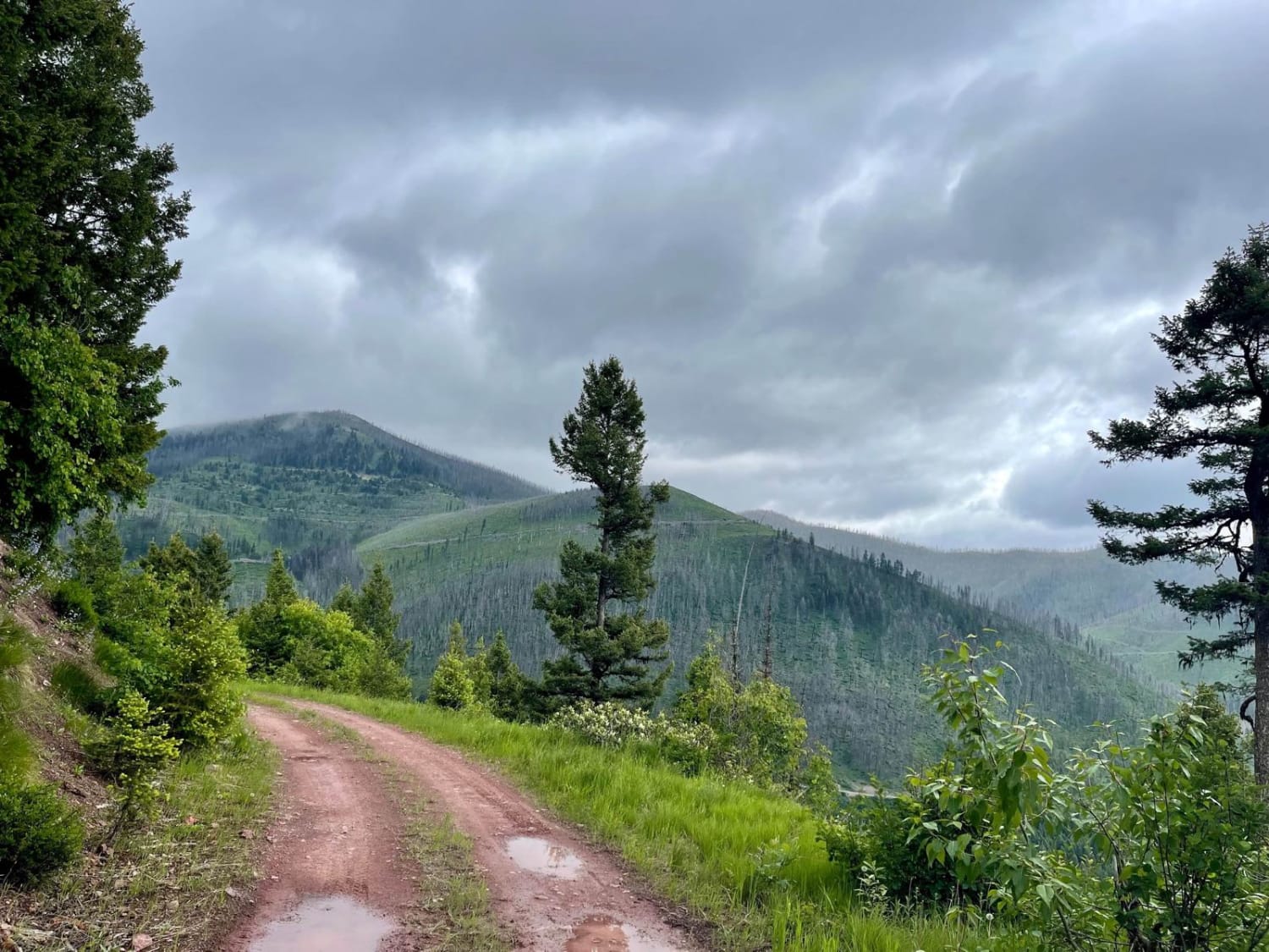
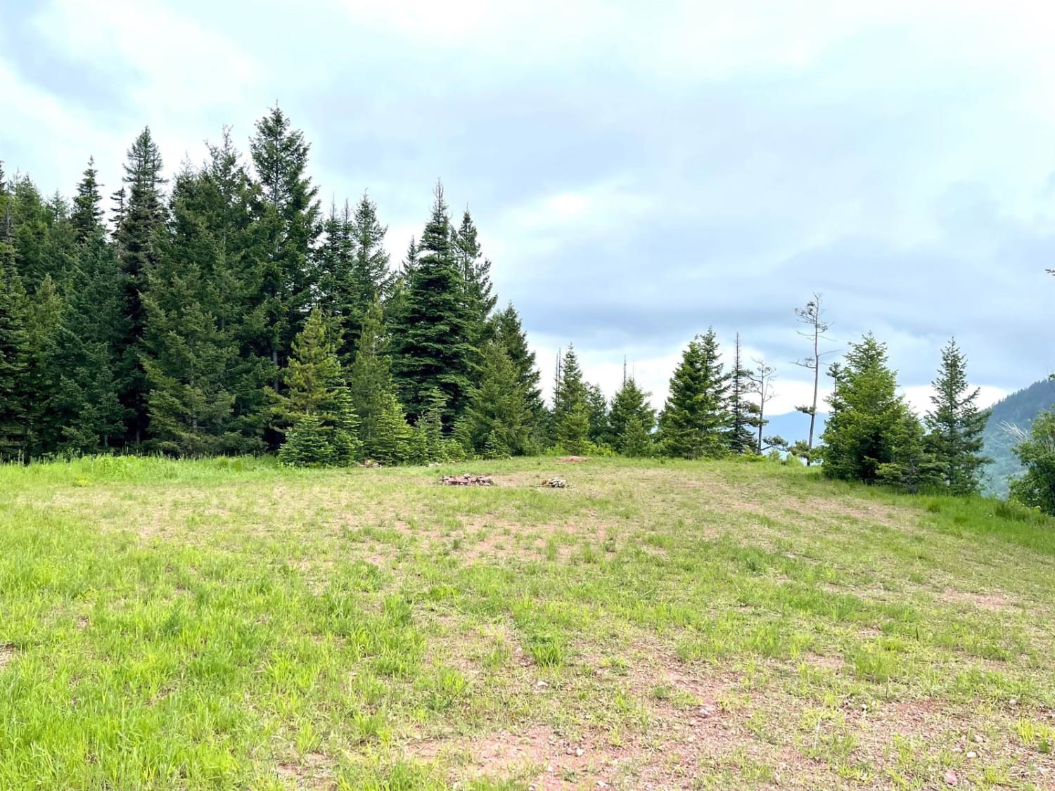
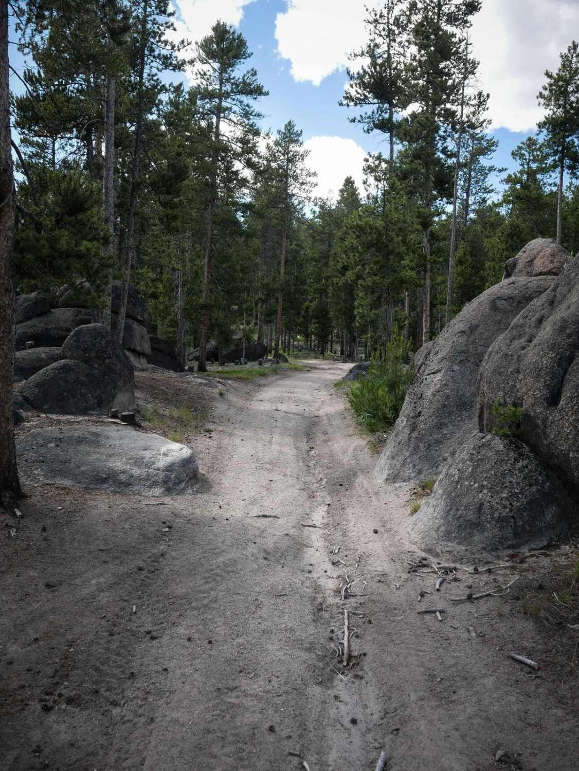
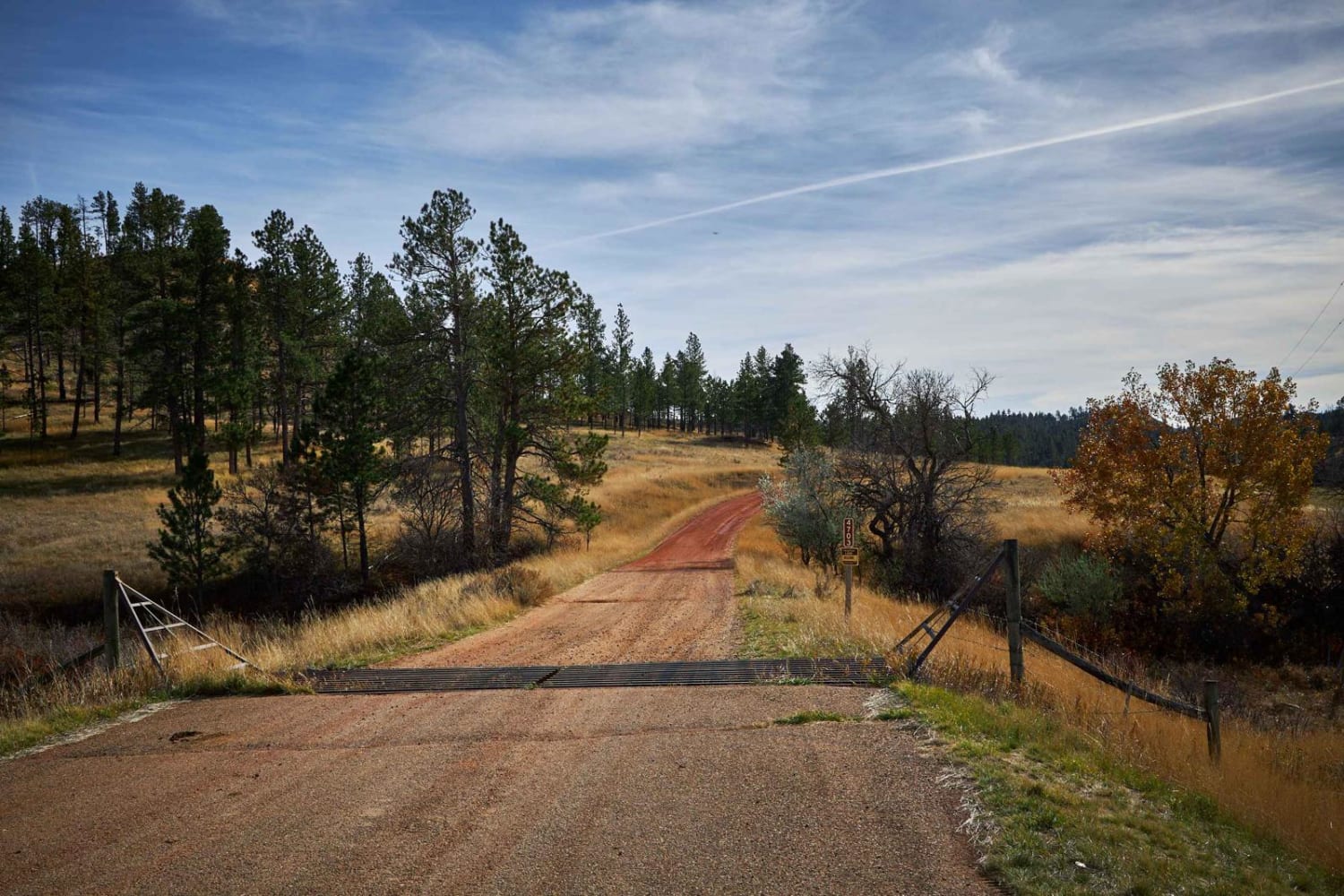
This route starts as a nice solid-packed old logging road with a few deeper mud holes and rutted-out sections. As it progresses up the ridge, it becomes narrower and more rutted. A few tighter switchbacks, looser ruts, and very narrow shrub sections may cause some paint damage. The views on this trail as you climb are incredible, and a few larger pullouts make for exceptional dispersed camping spots. The trail ends at a locked forest service gate, but one could camp here and continue on foot if desired. There's no cell service the whole way up, but right at the locked gate, one bar of Verizon LTE pops up, and it has data too. This is a nice trail for the area and doesn't disappoint in the views and wildlife department. Springtime brings flower blooms galore.
Photos of Cottonwood Ridge
Difficulty
Long narrow sections of trail with few pullouts. One may have to back up quite a bit for oncoming. Watch for deep potholes. No winter maintenance on this trail.
Status Reports
Cottonwood Ridge can be accessed by the following ride types:
- High-Clearance 4x4
- SUV
- SxS (60")
- ATV (50")
- Dirt Bike
Cottonwood Ridge Map
Popular Trails
Little Stanley Creek

West Fork Camp Creek
Lemonade Road Part 1
The onX Offroad Difference
onX Offroad combines trail photos, descriptions, difficulty ratings, width restrictions, seasonality, and more in a user-friendly interface. Available on all devices, with offline access and full compatibility with CarPlay and Android Auto. Discover what you’re missing today!
