Falling Down The Mountain
Total Miles
2.7
Technical Rating
Best Time
Spring, Summer, Fall
Trail Type
Full-Width Road
Accessible By
Trail Overview
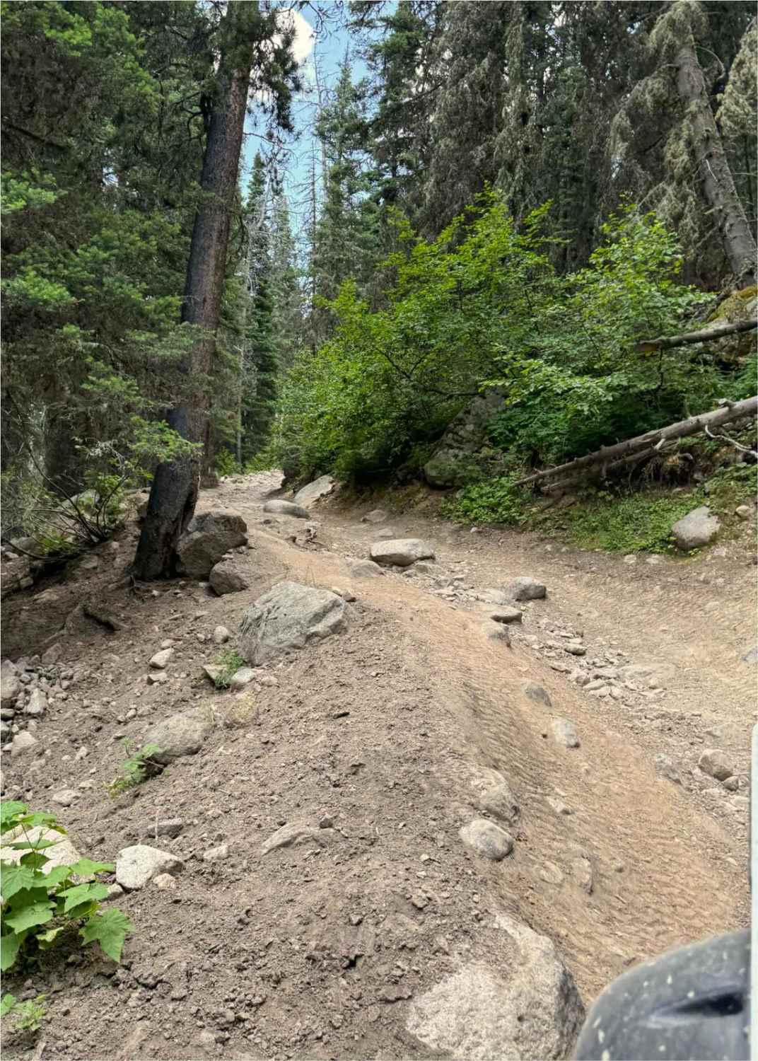
The trail steeply descends a narrow, windy, and rocky path through a dense pine forest towards the South Willow Creek drainage, Potosi Campground, and hot springs. The trail is narrow, windy, and rocky, with almost no opportunities to turn around or pass other vehicles. A saw is recommended for clearing the trail if needed.
Photos of Falling Down The Mountain
Difficulty
The trail is narrow, windy, and rocky with almost no opportunities to turn around or pass other vehicles. The primary obstacles are large rocks 6-24"+ frequently located together with limited drive line choices due to the narrow trail. Tree branches and leaning fallen trees may also be an obstacle depending on vehicle width and height. A saw is recommended for clearing the trail if needed. There may be a few 10' shallow standing water crossings up to 12" deep depending on snow melt and rainfall.
Status Reports
Falling Down The Mountain can be accessed by the following ride types:
- High-Clearance 4x4
- SUV
- SxS (60")
- ATV (50")
- Dirt Bike
Falling Down The Mountain Map
Popular Trails
Quartz Creek Road-The Jack Saloon
Divide NRT (Ditch Creek to Twin Creek Ridge)
Prickly Pear to Tizer Lakes
The onX Offroad Difference
onX Offroad combines trail photos, descriptions, difficulty ratings, width restrictions, seasonality, and more in a user-friendly interface. Available on all devices, with offline access and full compatibility with CarPlay and Android Auto. Discover what you’re missing today!

