Flatiron Ridge
Total Miles
5.9
Technical Rating
Best Time
Spring, Summer, Fall
Trail Type
High-Clearance 4x4 Trail
Accessible By
Trail Overview
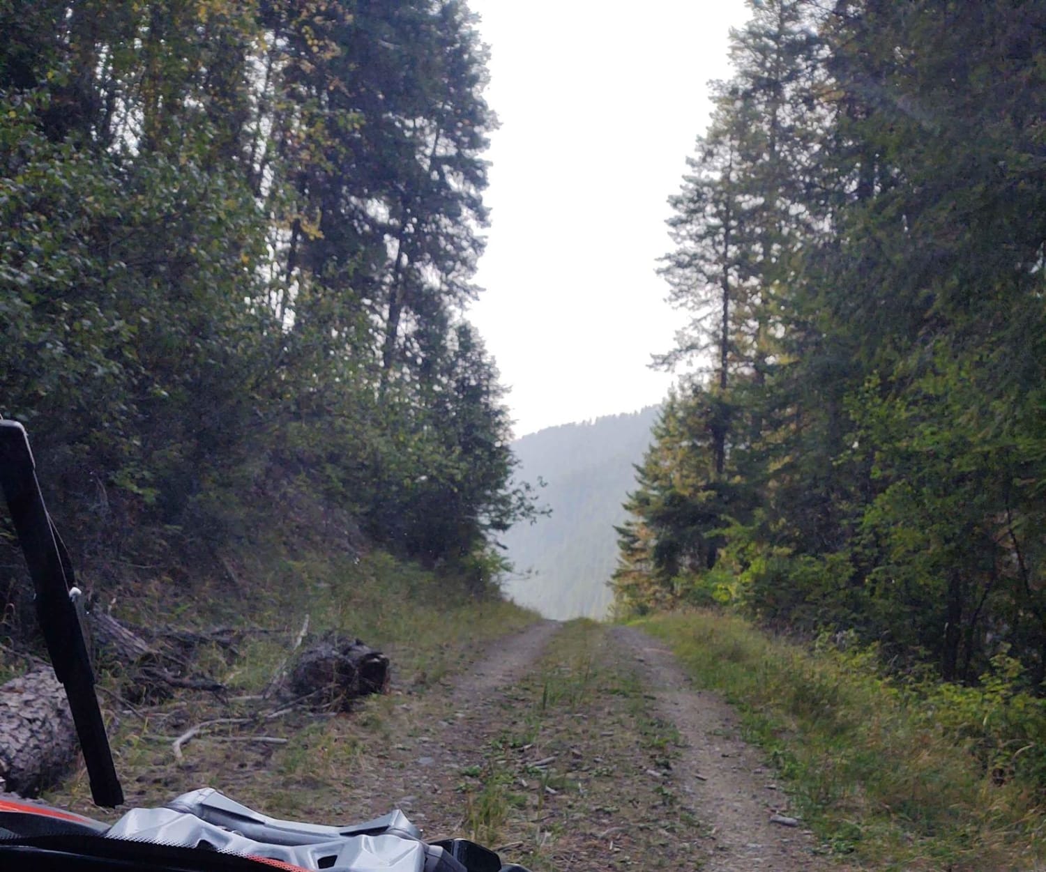
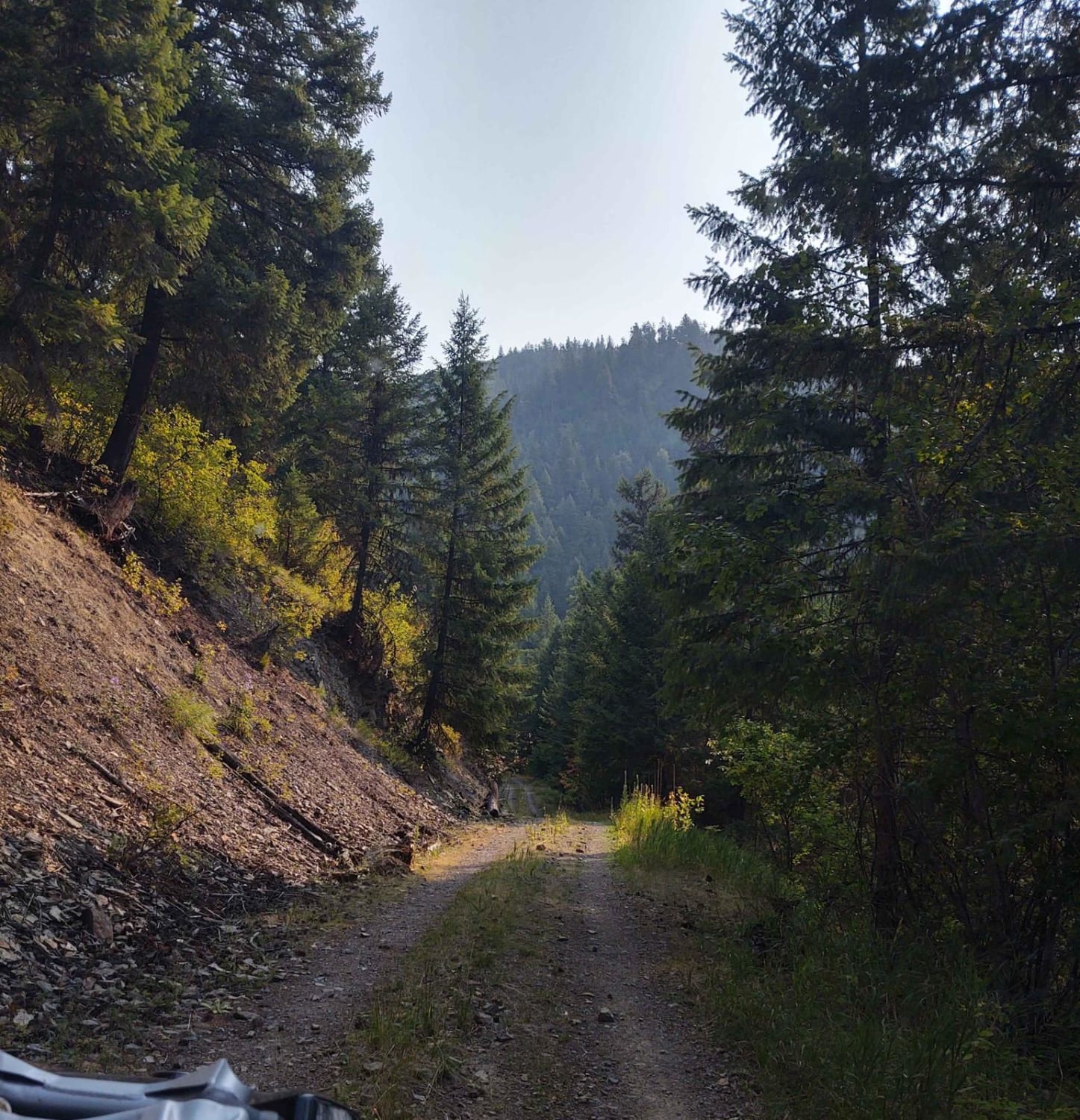
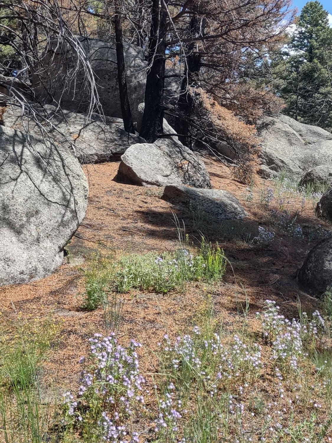
This 12-mile RT trail zigzags up Flatiron Ridge in the Lolo National Forest to an elevation of 4362 feet. There is room to let another vehicle pass on some of the corners. All private property crossings are allowed if you stay on the trail. The trails up the mountains are steep and twisting turns. Beware of logging trucks in this area. The scenery is spectacular, the forest is healthy and well-maintained, and the wildlife includes wild turkeys, deer, elk, moose, and black and grizzly bears. You may encounter some downed timber in some places, so carrying a saw, a snatch block, as well as a tow rope, and other recovery equipment, is a good idea. Take extra fuel, lots of water, and snacks. And we don't ever ride without at least one firearm.
Photos of Flatiron Ridge
Difficulty
This trail may be muddy in the early spring, you may encounter snow, and it will be muddy after a heavy rain. Otherwise, it's an easy trail with beautiful scenery.
Status Reports
Popular Trails
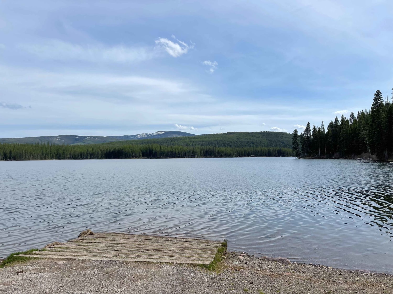
Lindbergh Lake

Canyon Creek Trail
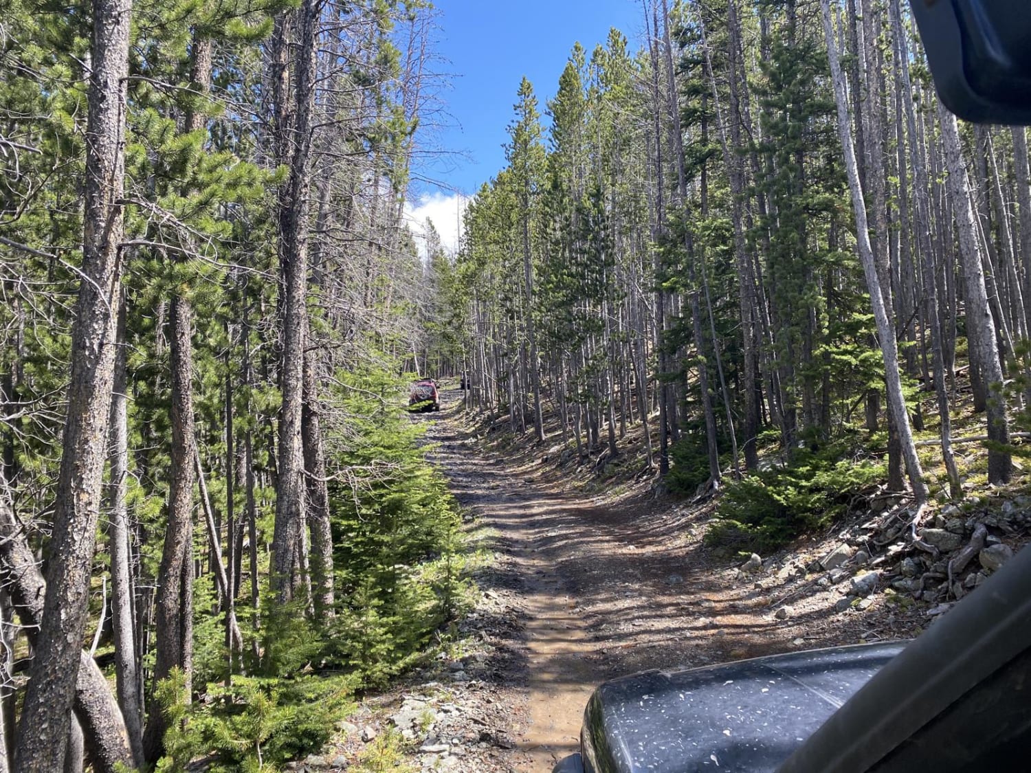
Skyline Mine Trail
Boulder Alley Spur
The onX Offroad Difference
onX Offroad combines trail photos, descriptions, difficulty ratings, width restrictions, seasonality, and more in a user-friendly interface. Available on all devices, with offline access and full compatibility with CarPlay and Android Auto. Discover what you’re missing today!
