Gibbons Pass
Total Miles
6.8
Technical Rating
Best Time
Summer, Fall
Trail Type
Full-Width Road
Accessible By
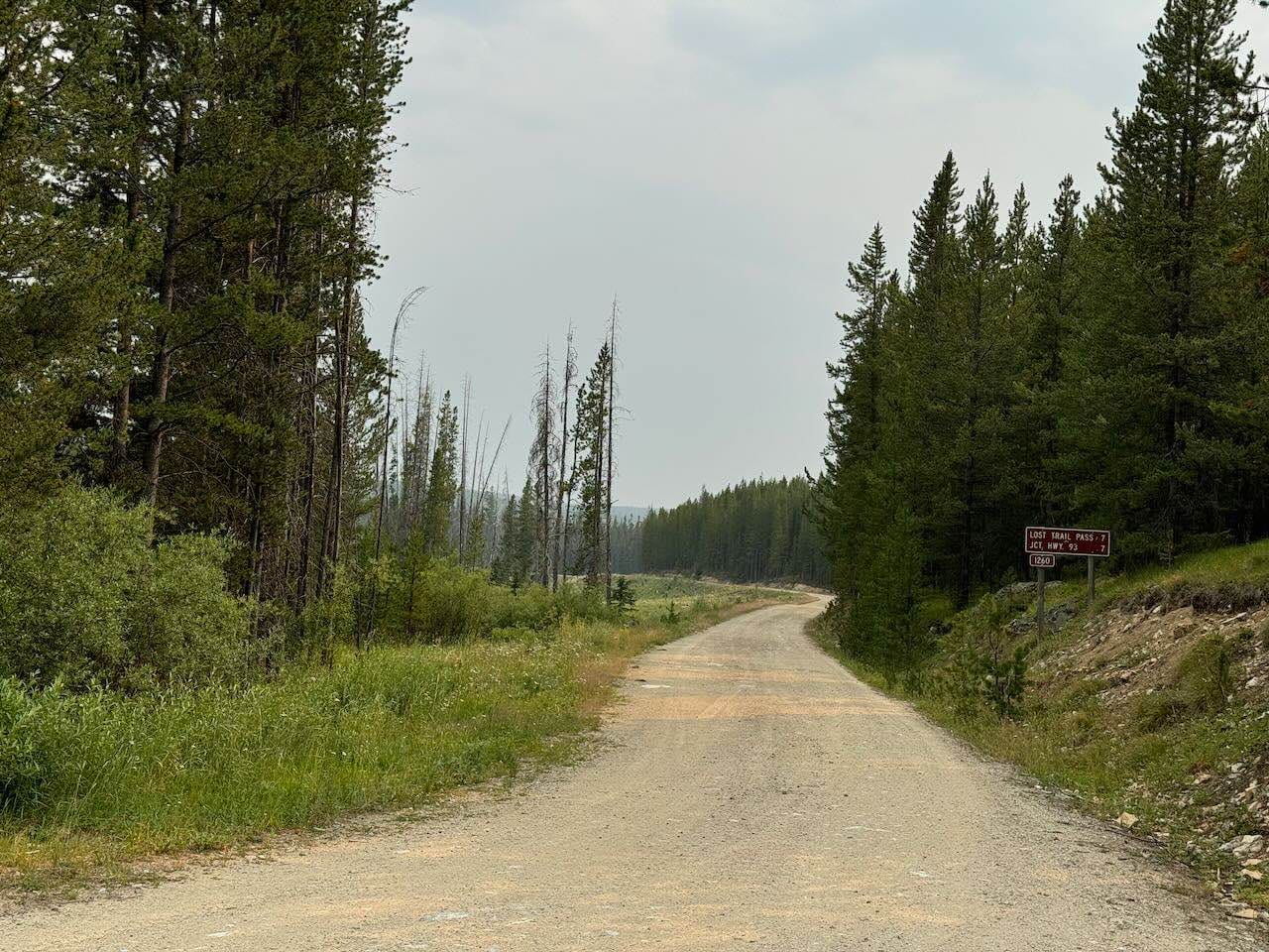
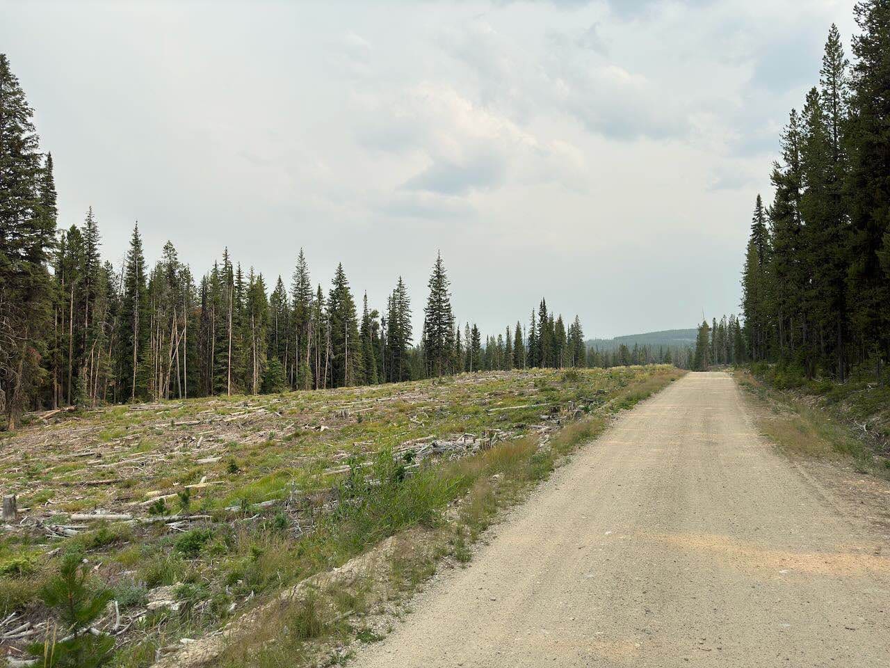
Trail Overview
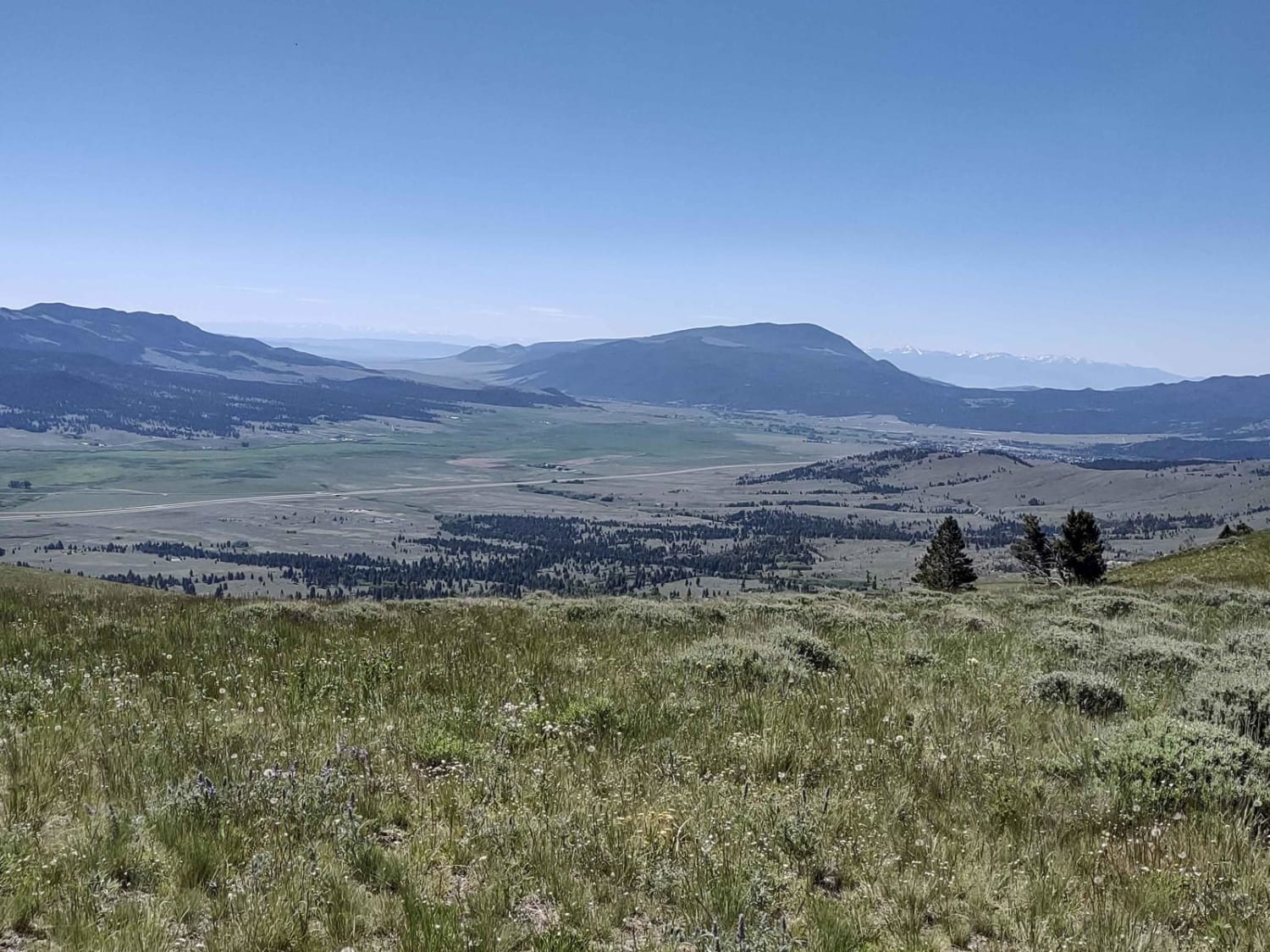
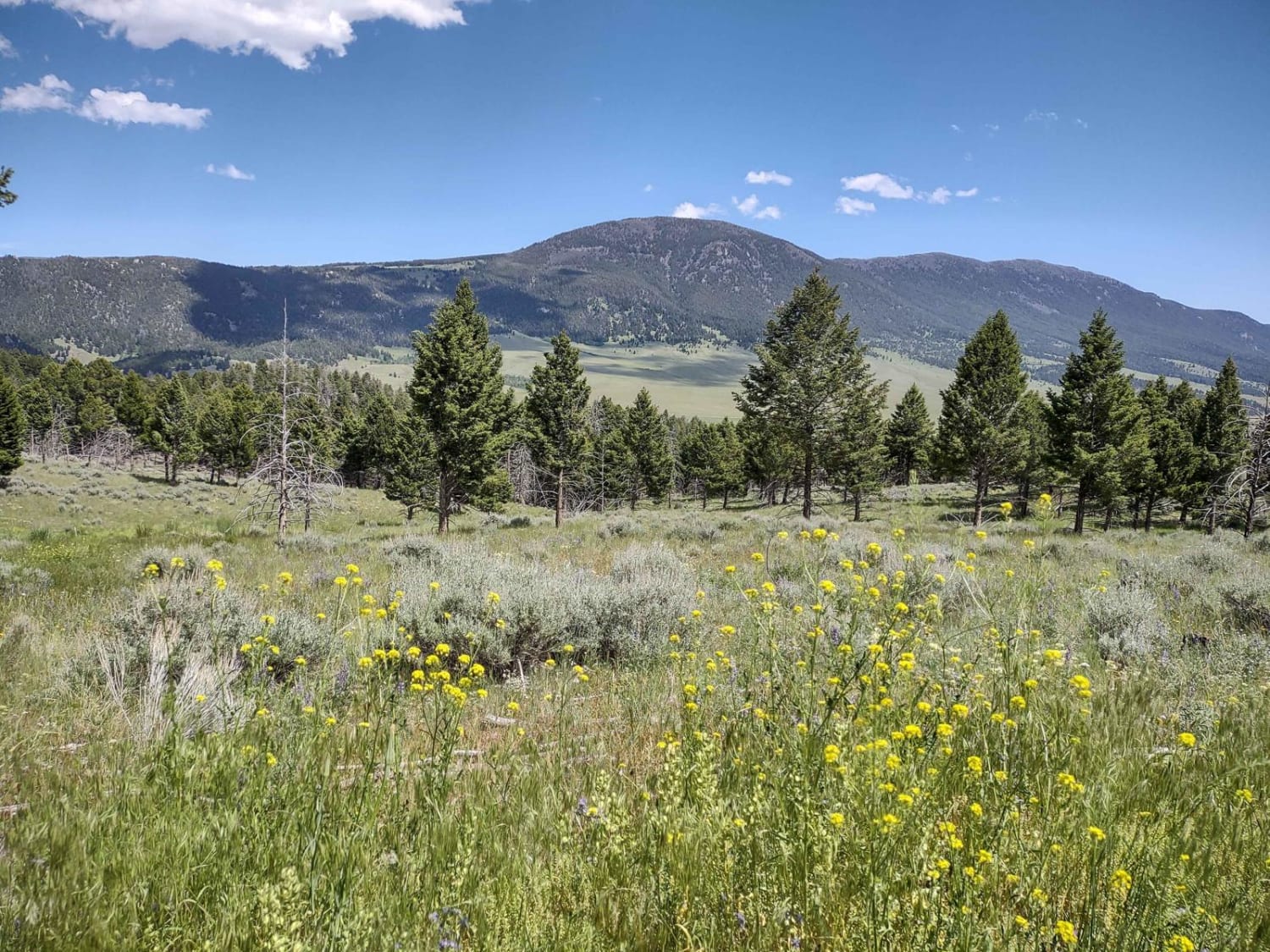
This seven-mile section of the Gibbons Pass Road system is a smooth gravel road that is plenty wide for two vehicles to pass at nearly any point. The majority of this road is flat but there are a few spots of elevation change that are fairly mild slopes. This road is gravel with very few rocky spots and a few potholes as well. You can get cooking pretty fast on this road and complete it pretty quickly. If you are taking the Gibbons Pass road from near Sula, MT, this is definitely the easy section of the road and it will spit you out right at the top of Lost Trail Pass into a fairly big parking lot. This road was used as a fire line in 2022 for the Trail Creek Fire and is evident along the entire section of the road by the wide swath of chopped-down trees.
Photos of Gibbons Pass
Difficulty
Road is two vehicles wide, smooth gravel with few rocks, gentle grades and really any vehicle should be capable of this section of Gibbons Pass Road.
Status Reports

Popular Trails
GSVA Route
Wood Chute to Blue Bird Mine
North Whitetail Road Spur
The onX Offroad Difference
onX Offroad combines trail photos, descriptions, difficulty ratings, width restrictions, seasonality, and more in a user-friendly interface. Available on all devices, with offline access and full compatibility with CarPlay and Android Auto. Discover what you’re missing today!