Lost Horse Observation Point
Total Miles
2.6
Technical Rating
Best Time
Summer, Fall, Spring
Trail Type
Full-Width Road
Accessible By
Trail Overview
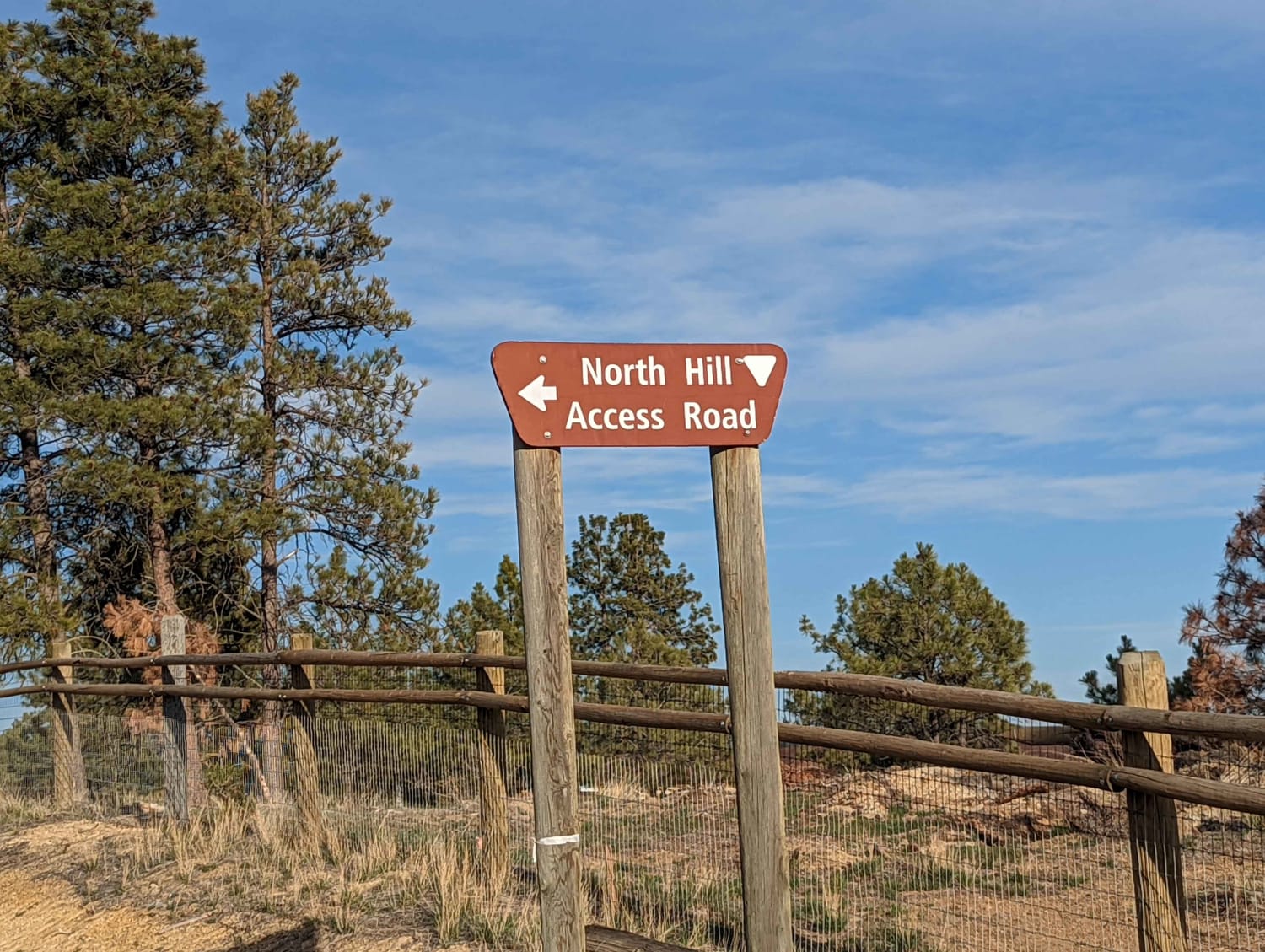
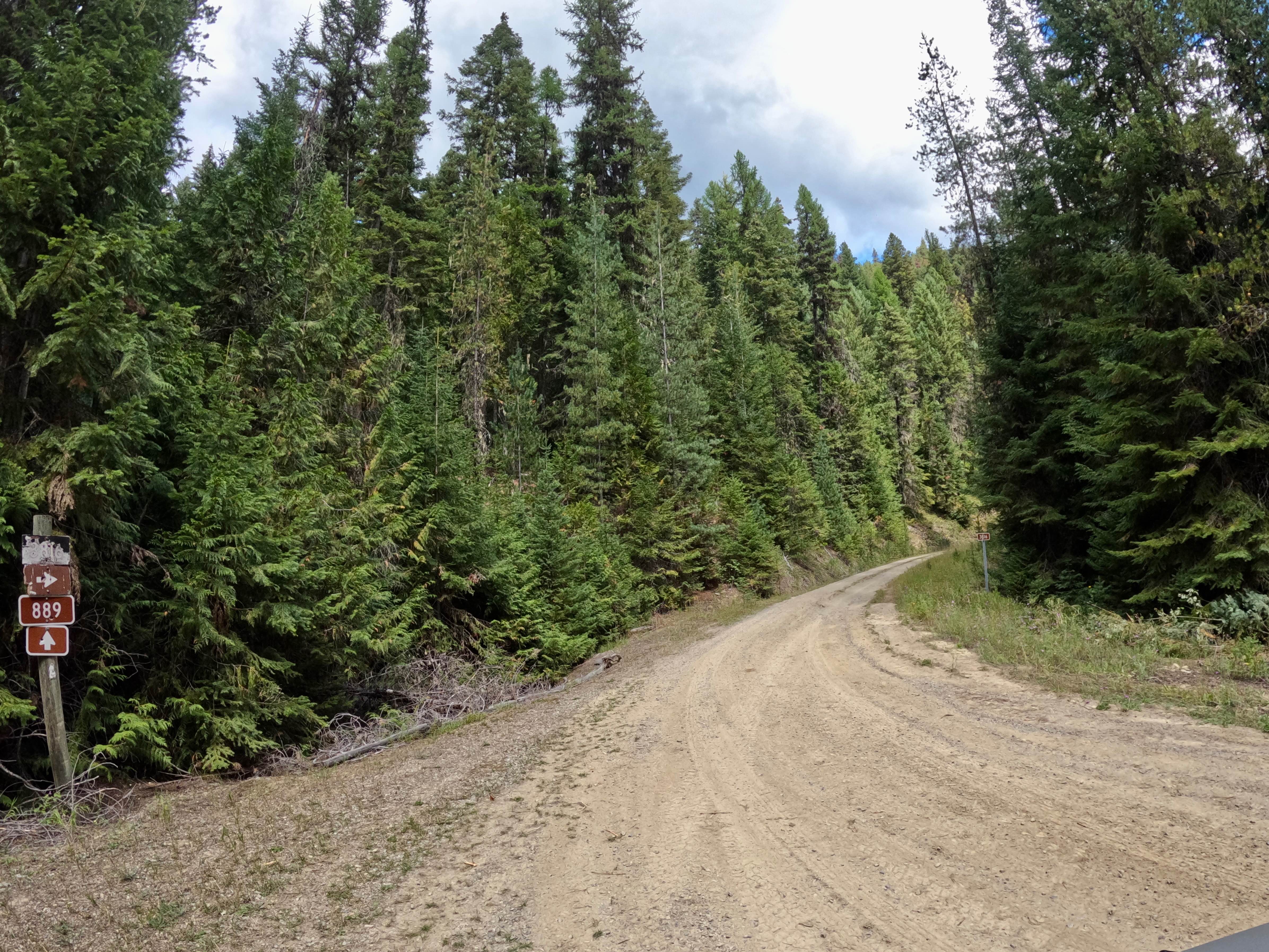
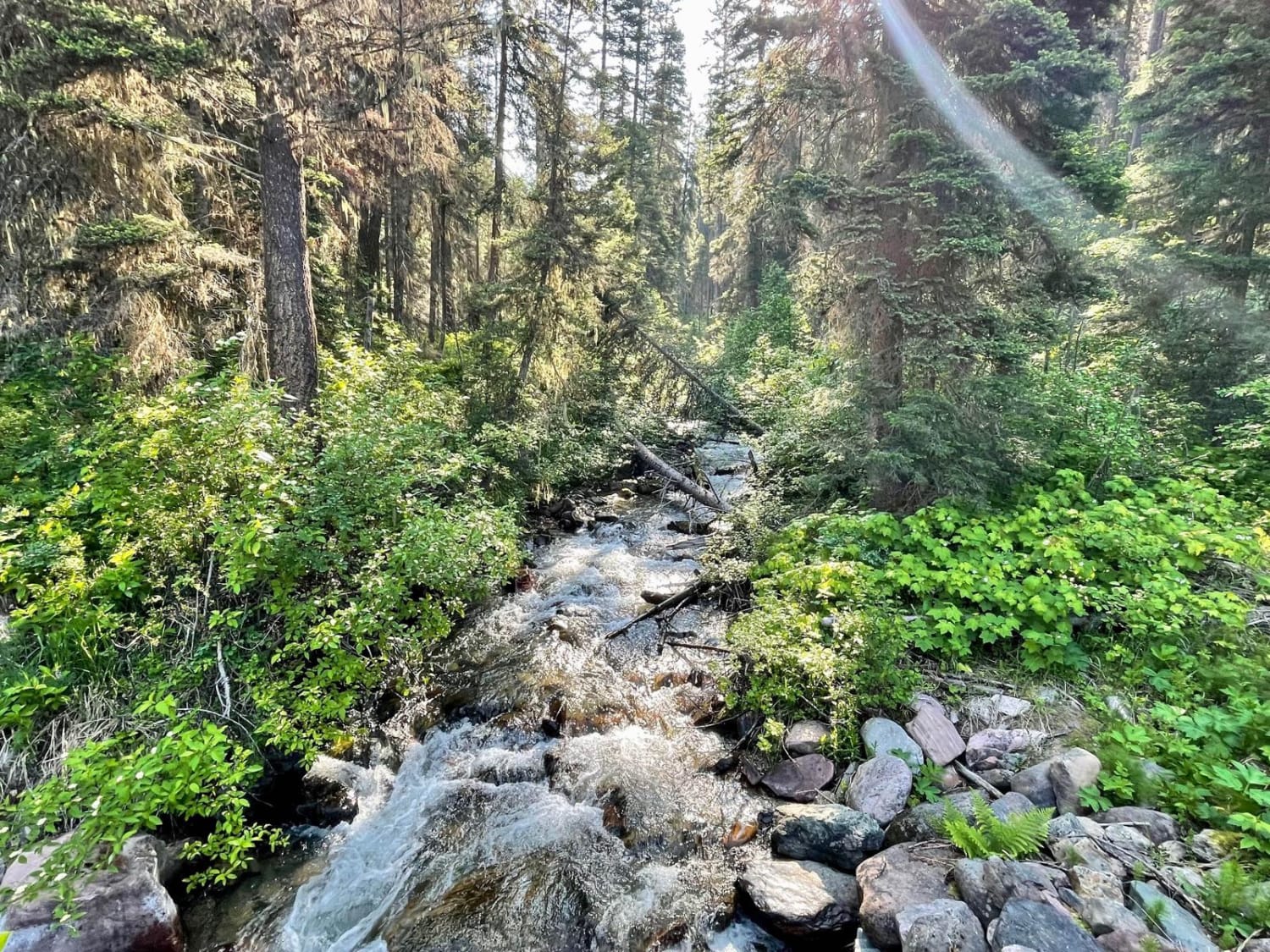
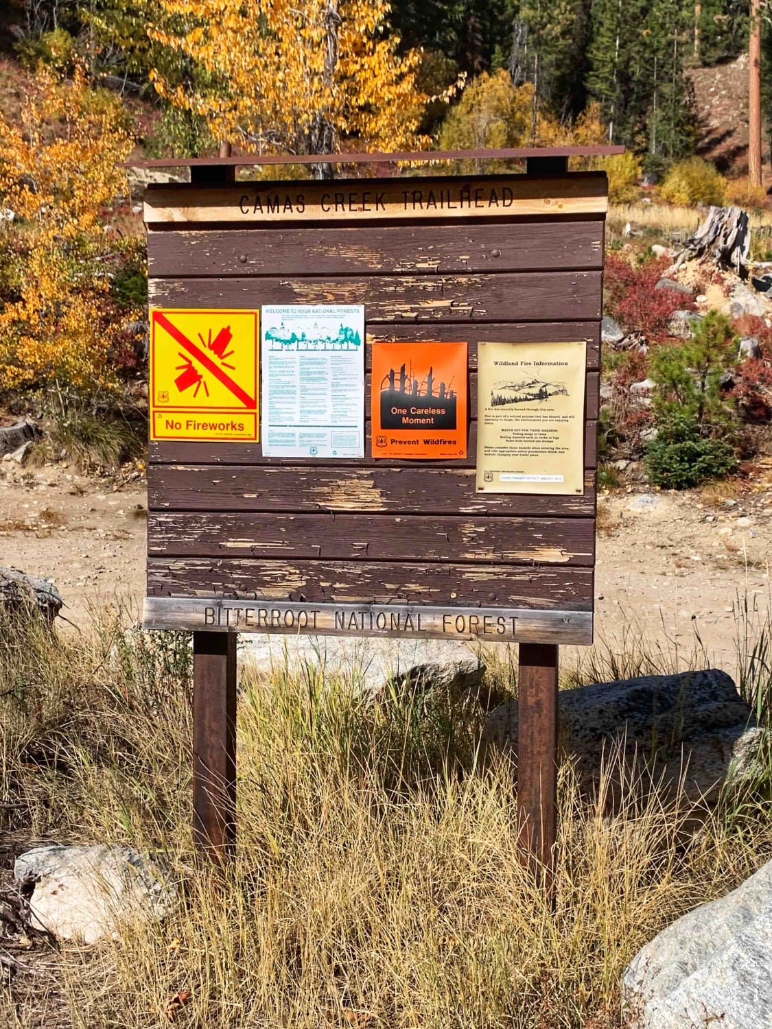
This is a truly stunning view out over the mountains and valley. It is one of the few in this area that can be driven to, most of the best viewpoints in this area are accessed from hiking trails. The Lost Horse Observation Point has a dirt parking area and multiple rock formations that can be explored on foot. Bring your lunch and hang out for the afternoon. Access to this trail is from Lost Horse Ridgeline or Moose Creek/Old Mine Trail to Hays Creek Moose Creek. Take all of those trails to make a loop and see a lot of beautiful scenery. There are several stunning viewpoints along the way up to the Observation point worth pulling off at as well. Halfway up the trail is accessible to the Camas Creek Hiking Trailhead with a small dirt parking area.
Photos of Lost Horse Observation Point
Difficulty
Easy Dirt grader, Maybe impassable in winter if not maintained.
Lost Horse Observation Point can be accessed by the following ride types:
- High-Clearance 4x4
- SUV
- SxS (60")
- ATV (50")
- Dirt Bike
Lost Horse Observation Point Map
Popular Trails

North Hills Recreation Area

Canyon Creek (3816)-Cromie Creek (236)

Morrell- Clearwater Lake
The onX Offroad Difference
onX Offroad combines trail photos, descriptions, difficulty ratings, width restrictions, seasonality, and more in a user-friendly interface. Available on all devices, with offline access and full compatibility with CarPlay and Android Auto. Discover what you’re missing today!


