Minnie Wapiti
Total Miles
3.0
Technical Rating
Best Time
Summer, Fall
Trail Type
Single Track
Accessible By
Trail Overview
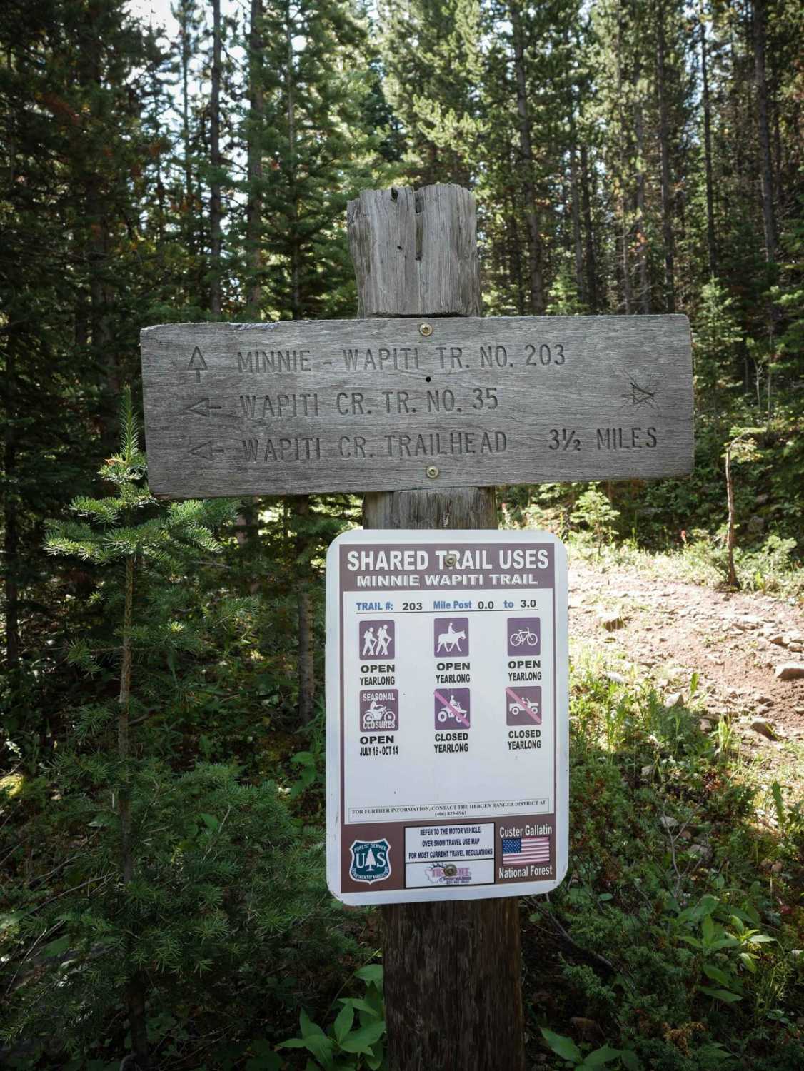
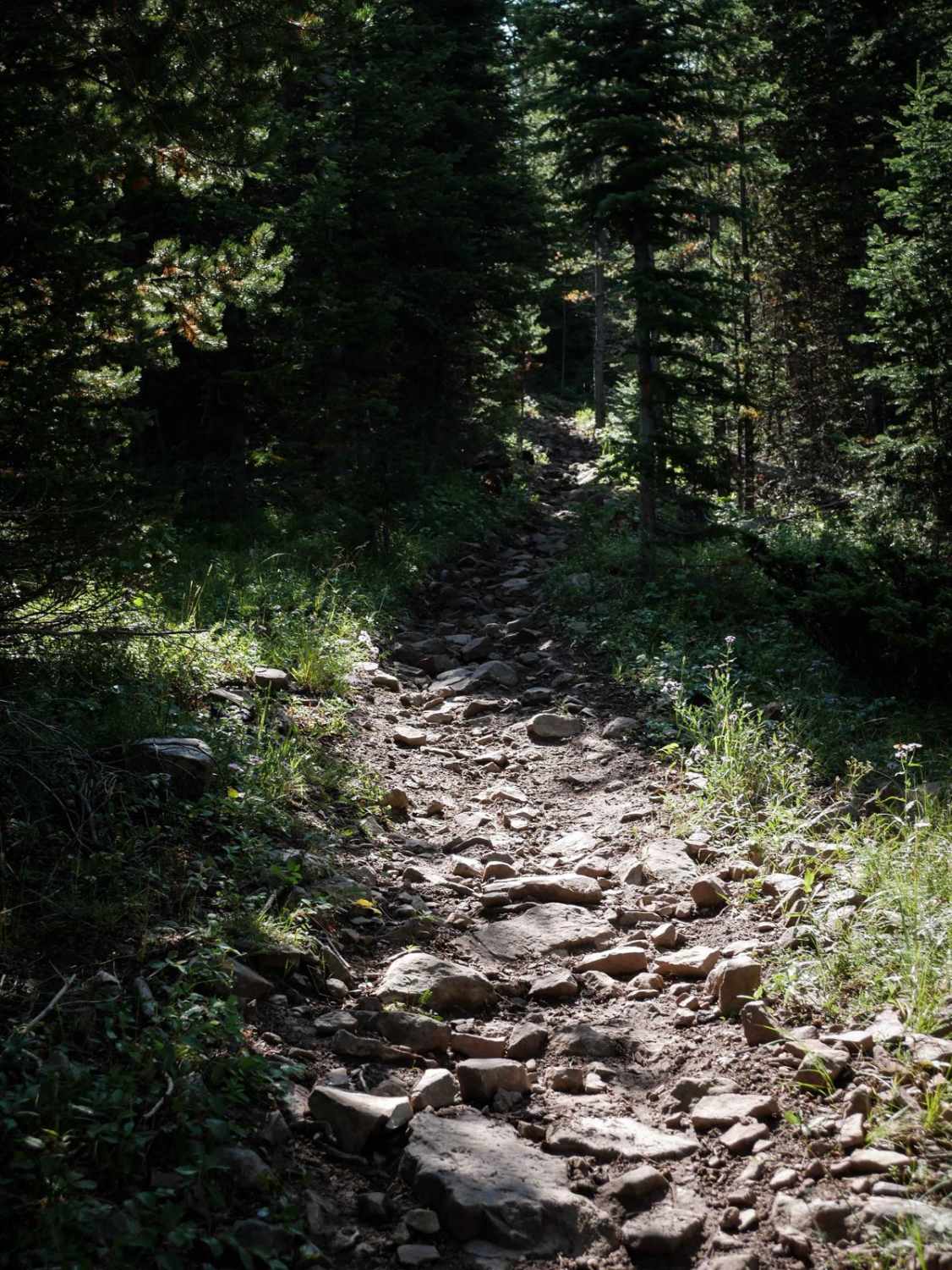
The 3.8-mile Minnie Wapiti Trail continues south from the intersection with Wapiti and climbs up to the summit of Pika Point at 9,500 feet elevation. The beginning of the trail is wide through the pine trees, but almost completely covered in embedded small rocks and roots. The majority of the trail is rocky like this, and the southern half gets harder because it starts to climb up long steep hills that are also full of rocks and roots. There are a few sections of narrow skinny trail through grassy meadows that provide some relief from the rocks, but the majority of the route is rocky. After 2 miles, it goes up a long sustained steep climb that is more difficult, with big roots, more embedded rocks, and blunt root ledges where you have to get your front end up a foot to get over the root. It stays wide the whole climb but keeps getting rockier. Finally, it pops out into beautiful meadows, and the rocks finally let up, looking out at the Madison Mountain Range and towards the Lee Metcalf Wilderness. This trail is open to motorcycles 7/16 - 10/14. Look out for mountain goats in the area.
Photos of Minnie Wapiti
Difficulty
This is an intermediate single track due to the relentless rocky surfaces of embedded rocks and roots that make the steep hill climbs significantly harder. There are 1-foot ledges from the roots and rocks.
Status Reports
Minnie Wapiti can be accessed by the following ride types:
- Dirt Bike
Minnie Wapiti Map
Popular Trails
Langohr Offshoot
Porcupine Saddle
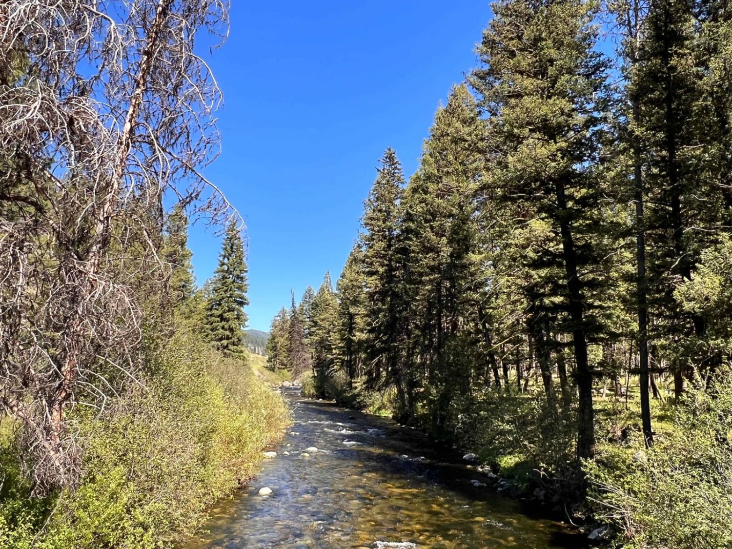
Swift Creek Trailhead
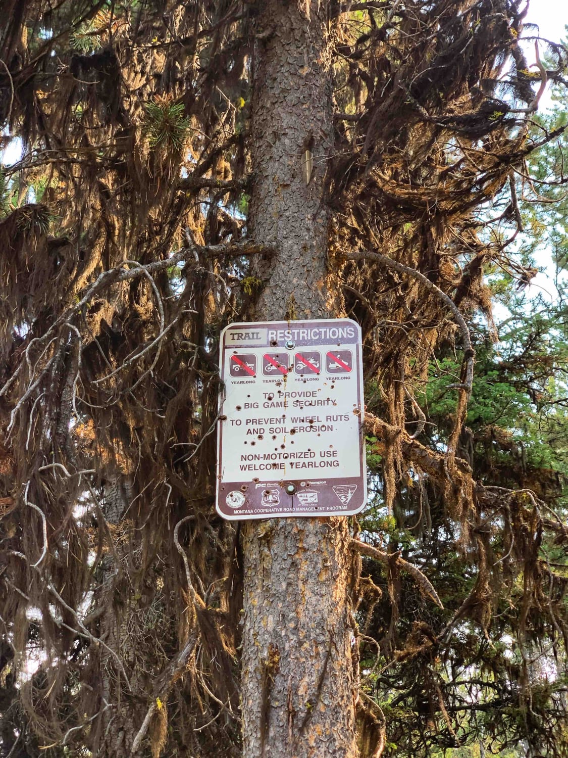
Sawmill Saddle
The onX Offroad Difference
onX Offroad combines trail photos, descriptions, difficulty ratings, width restrictions, seasonality, and more in a user-friendly interface. Available on all devices, with offline access and full compatibility with CarPlay and Android Auto. Discover what you’re missing today!
