Oregon Lakes Rd-State Line Rd
Total Miles
4.0
Elevation
1,970.73 ft
Duration
0.5 Hours
Technical Rating
Best Time
Summer, Fall
Trail Overview
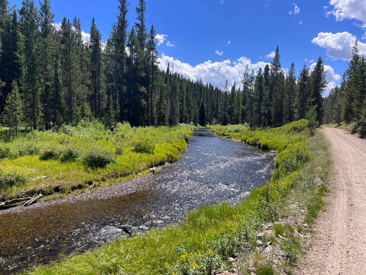
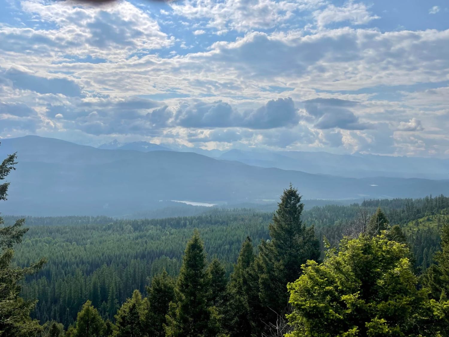
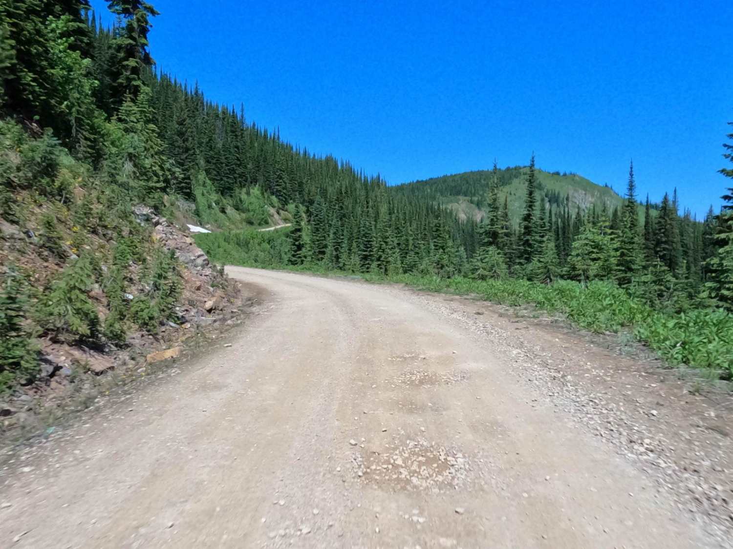
The route covers a gradual 1300' climb to the top of the State Line into ID. The route is mainly loose gravel with easy turns and steep embankments. Plenty of room enough for two vehicles to pass along the route. Snow could be a problem trying to access the route in the spring and early summer. Great spot at the summit for a picnic or picture taking of Missoula Lake, which you can see very well below you. Moose and other animals have been seen in the meadows below. No cell service on the route.
Photos of Oregon Lakes Rd-State Line Rd
Difficulty
Road might not be passable in the Spring or early Summer due to snow cover. Loose rock falling from rocky banks could be in the roadway. Plenty of room to pass another vehicle on the road.
Status Reports
Popular Trails

Barton Gulch and Offshoots

South Fork Madison Road (478)

Richmond Ridge
The onX Offroad Difference
onX Offroad combines trail photos, descriptions, difficulty ratings, width restrictions, seasonality, and more in a user-friendly interface. Available on all devices, with offline access and full compatibility with CarPlay and Android Auto. Discover what you’re missing today!


