Powerline Road
Total Miles
6.9
Technical Rating
Best Time
Spring, Summer, Fall, Winter
Trail Type
Full-Width Road
Accessible By
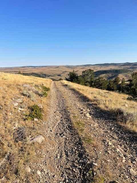
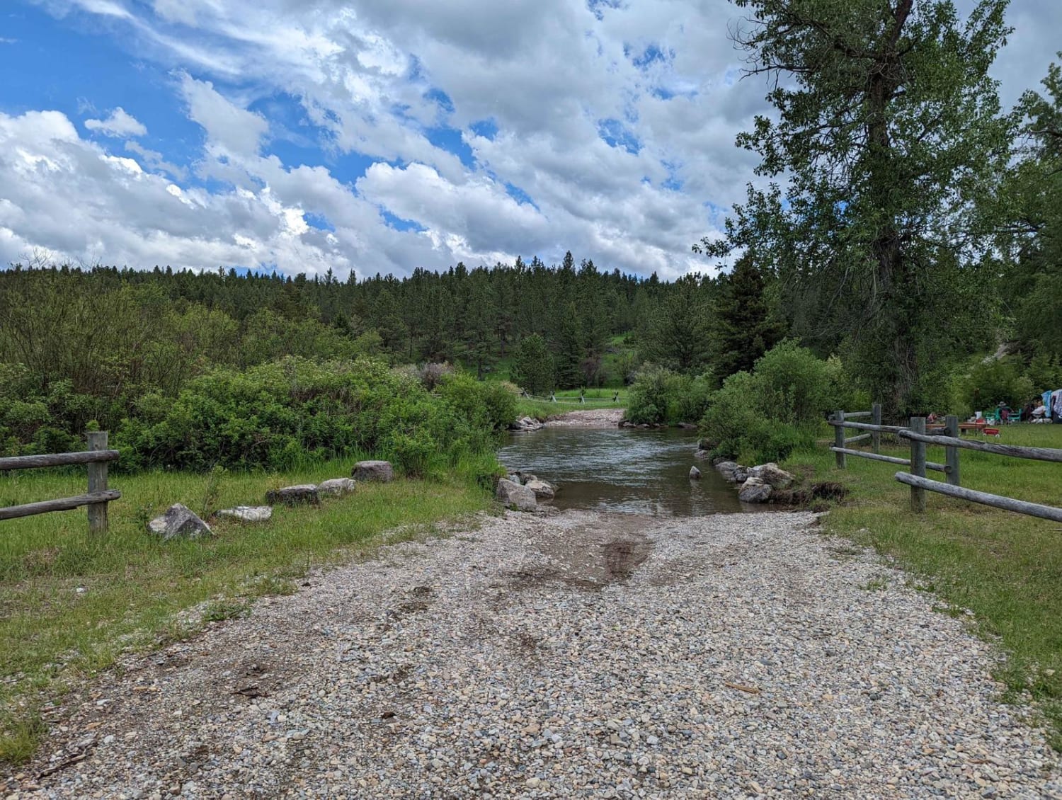
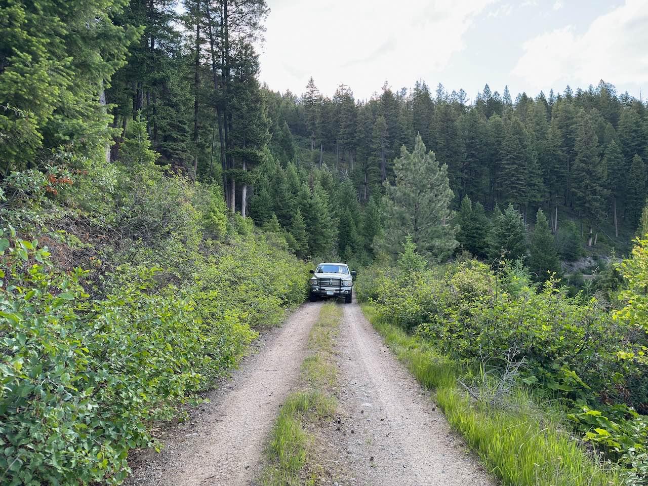
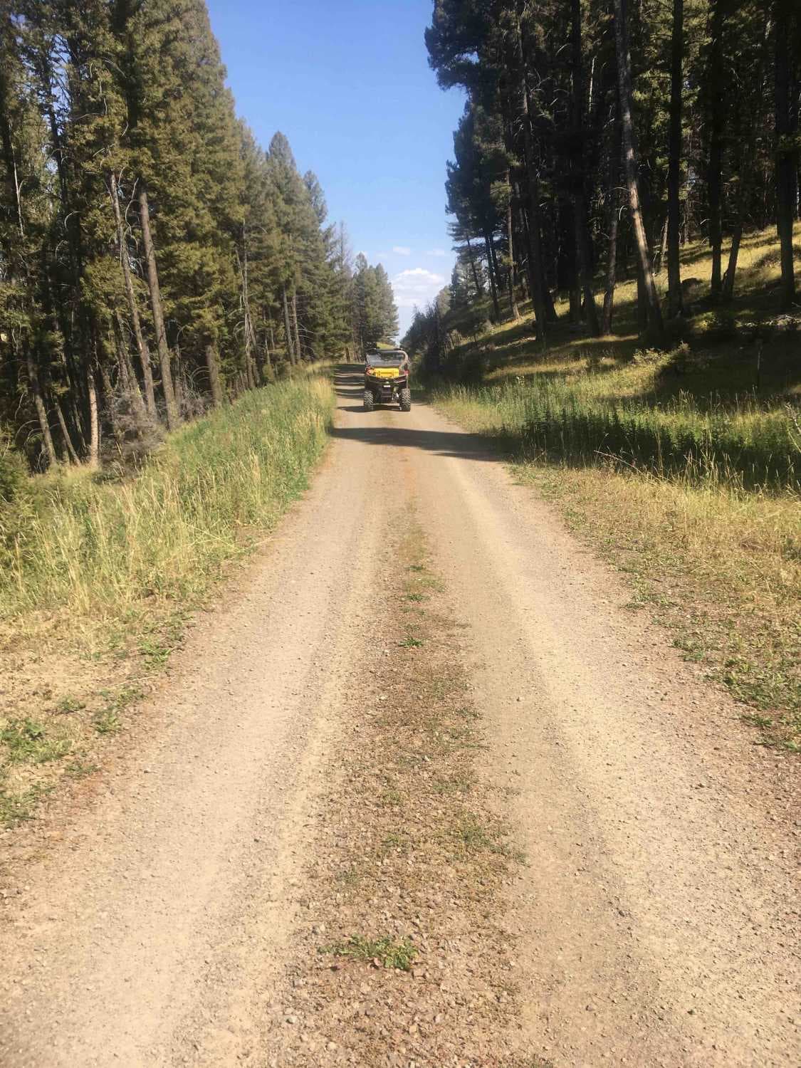
Trail Overview
Powerline Road connects Pryor Mountain Road to Railroad Grade Road. Part of this road lies on BLM land and part of it lies on Custer National Forest Land. The section that is on BLM land is well-maintained and very easy. Once you get to the Custer National Forest section, it is no longer maintained. There are about three or four rock gardens to pass over, rutted sections, and several steeper climbs. The climb farthest east is very rutted and steep and will challenge most low-clearance vehicles.
Photos of Powerline Road

Difficulty
There are several steep and rutted climbs, along with a couple of rock gardens.
Status Reports
Powerline Road can be accessed by the following ride types:
- High-Clearance 4x4
- SUV
- SxS (60")
- ATV (50")
- Dirt Bike
Powerline Road Map
Popular Trails

Ridge Road #1005
Price Peet Road
The onX Offroad Difference
onX Offroad combines trail photos, descriptions, difficulty ratings, width restrictions, seasonality, and more in a user-friendly interface. Available on all devices, with offline access and full compatibility with CarPlay and Android Auto. Discover what you’re missing today!