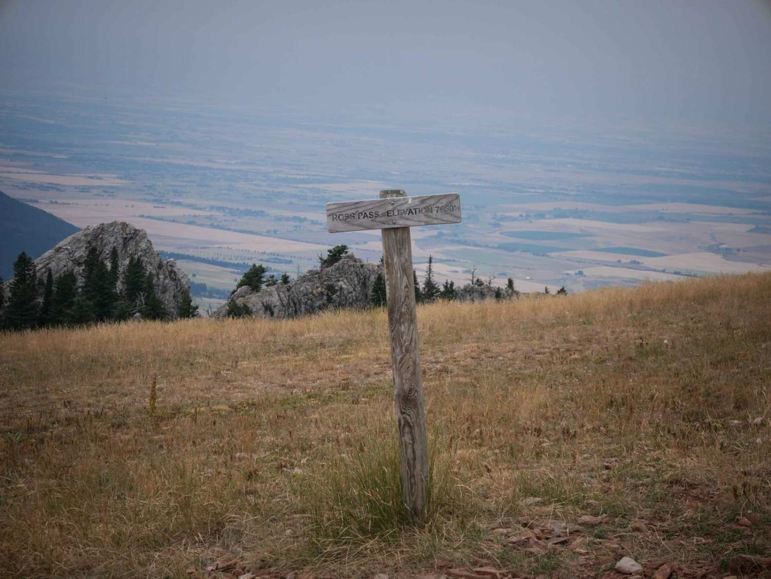
Ross Pass
Total Miles
2.4
Technical Rating
Best Time
Summer, Fall
Trail Type
Single Track
Accessible By
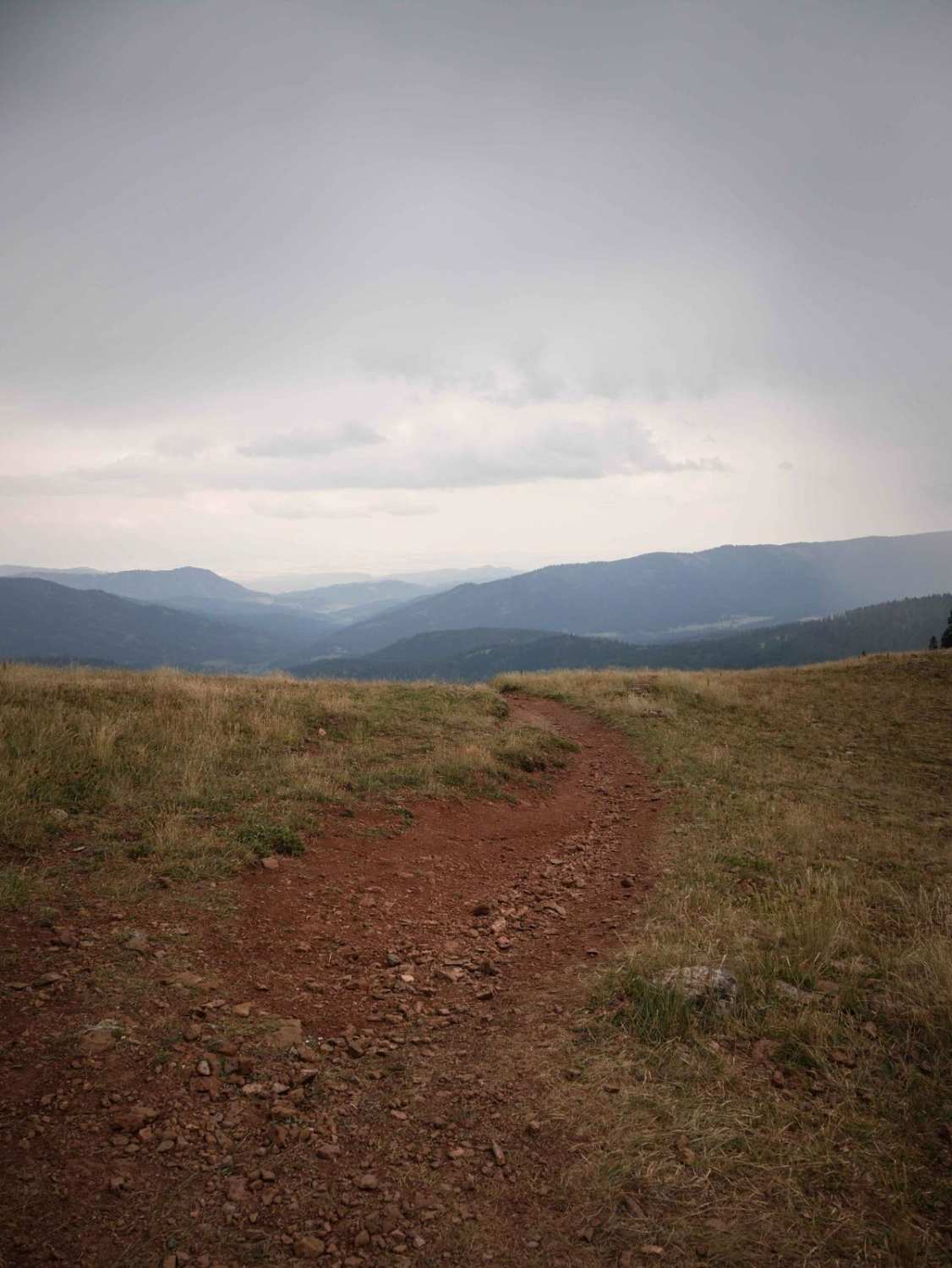
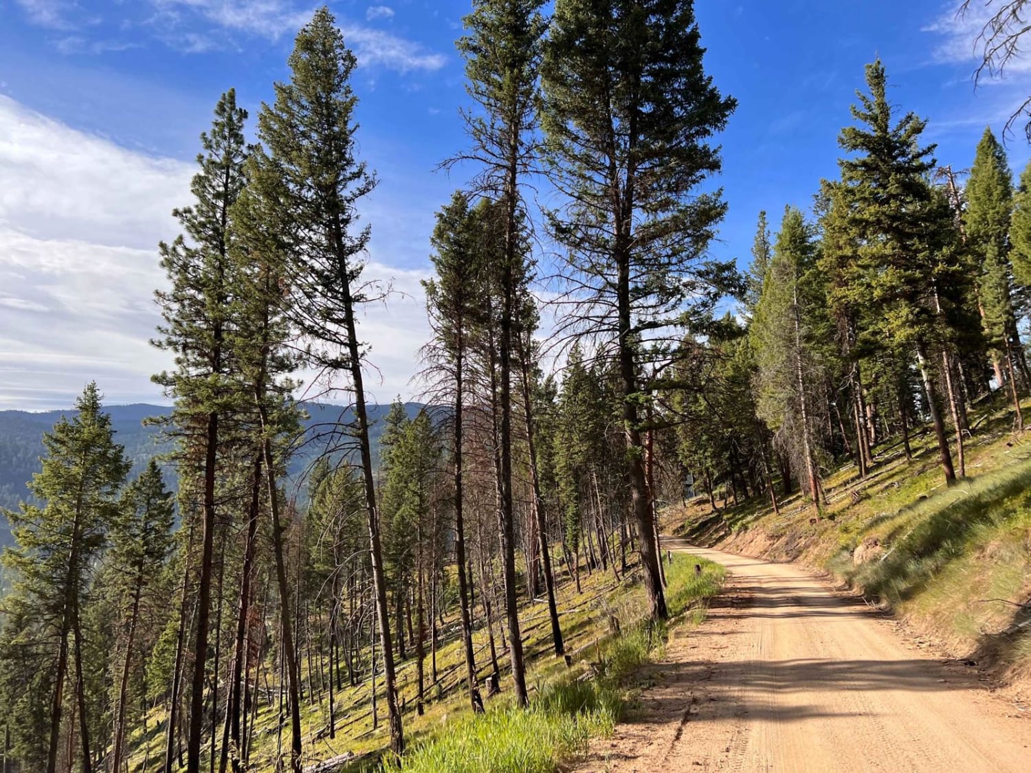
Trail Overview
Ross Pass is a 2.5-mile-long single track through the Gallatin National Forest. From the west end, it drops down from the summit of Ross Pass and the intersection with the Bridger Foothills, Bridger Ridge, and Upper Brackett Creek single tracks. It's a gradual descent the whole way, dropping 1,000 feet elevation. It's a flowy and smooth descent, with only a few roots, but hardly any rock. It has easy gradual corners and smooth easy switchbacks. It goes through a really pretty area of fir trees, hops bushes, teasels, wild lupins, and great views looking down the valley along the South Fork Brackett Creek. It ends at a small dirt parking area at the Ross Pass Trailhead. This trail is open 6/16 - 10/14 for motorized use.
Photos of Ross Pass
Difficulty
This is an easier trail that has very gradual curves, hill climbs/descents, and hardly any rock. It has no significant obstacles.
Status Reports

Popular Trails

Willow Creek North ATV
Teepee Point Vehicle Access

Tamarack Creek - FS 284
The onX Offroad Difference
onX Offroad combines trail photos, descriptions, difficulty ratings, width restrictions, seasonality, and more in a user-friendly interface. Available on all devices, with offline access and full compatibility with CarPlay and Android Auto. Discover what you’re missing today!