Saint Pats Road-Cyr Iron Mountain Road
Total Miles
7.4
Technical Rating
Best Time
Spring, Summer, Fall
Trail Type
Full-Width Road
Accessible By
Trail Overview
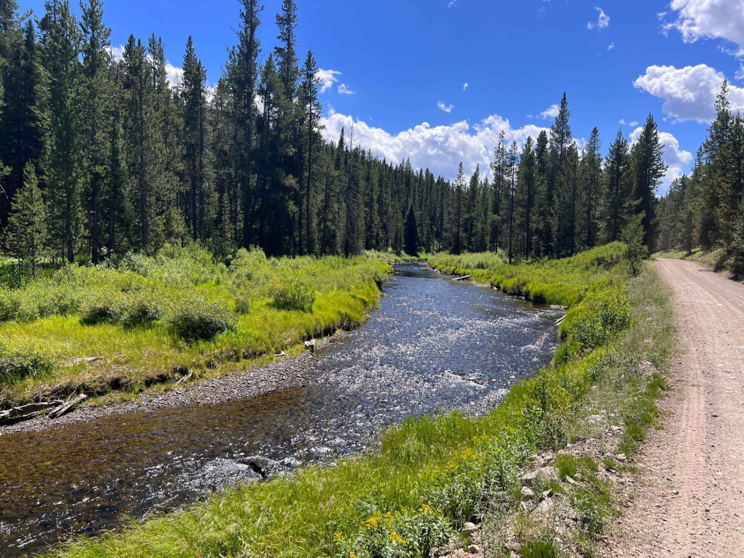
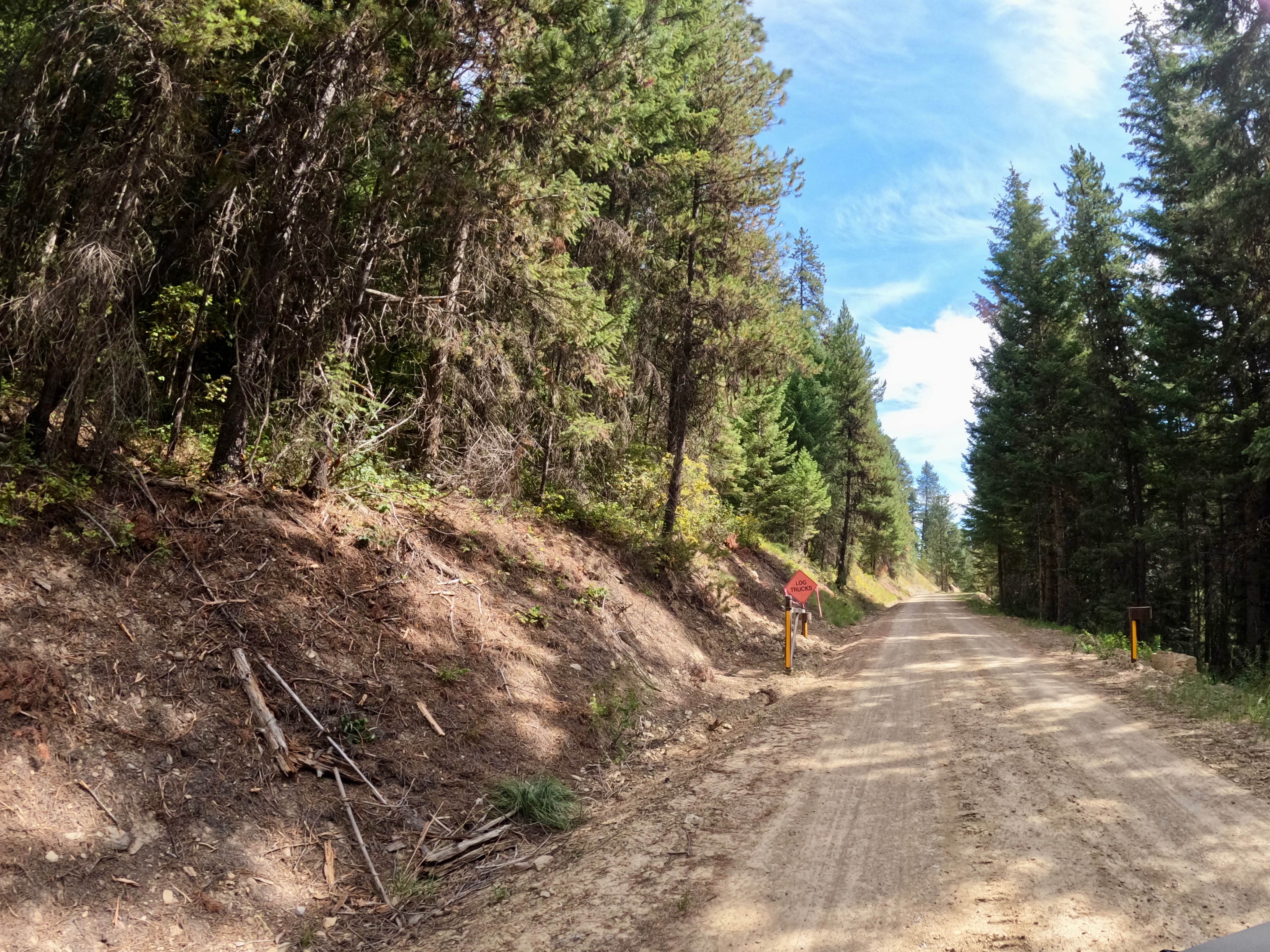
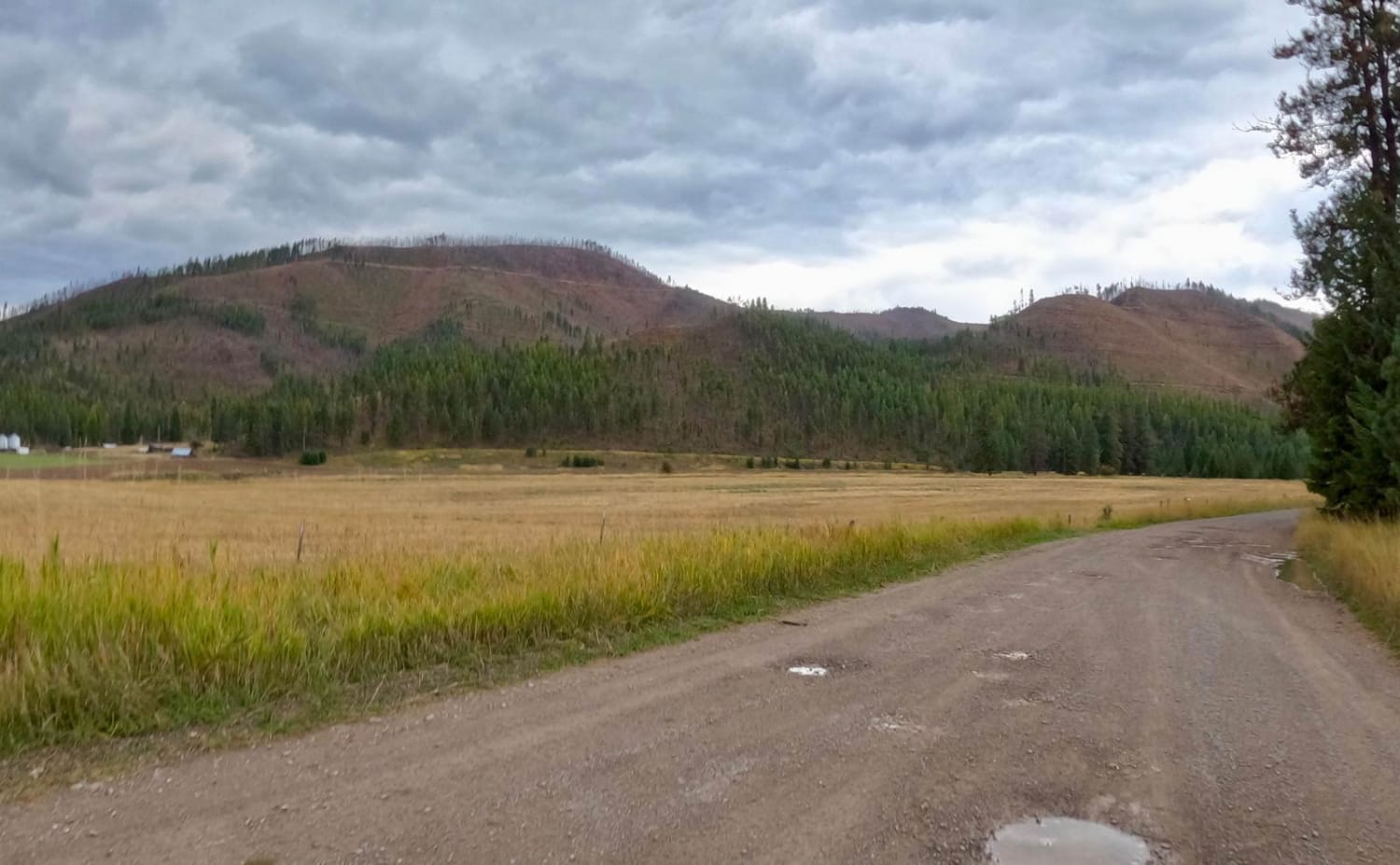
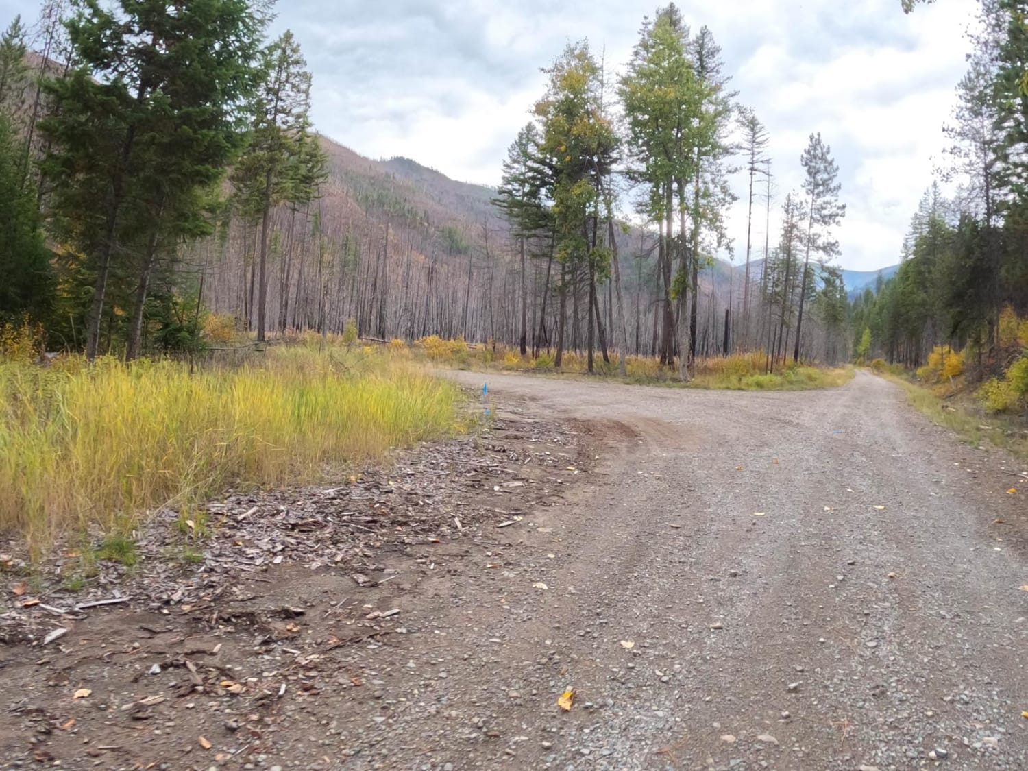
The route begins looking over farmland where deer, elk, and turkeys can be seen at times. The route is mainly made up of gravel with some loose rock in places. You should find cell service along the route. The route does a gradual climb of 1,000 feet to where you will get beautiful views of the Clark Fork River and the land running along the I-90 corridor. There are no facilities along this route, but stops can be made for a snack or pictures. The route passes through an area of burnt forest with new growth. The route has exceptional views in the fall when the flora is changing.
Photos of Saint Pats Road-Cyr Iron Mountain Road
Difficulty
The route is mainly made up of gravel that is wide enough in most places for two vehicles to pass. The route does have its share of curves and steep embankments.
Status Reports
Saint Pats Road-Cyr Iron Mountain Road can be accessed by the following ride types:
- High-Clearance 4x4
- SUV
- SxS (60")
- ATV (50")
- Dirt Bike
Saint Pats Road-Cyr Iron Mountain Road Map
Popular Trails

Cold Spring Hill Road

Moto St Downhill

South Fork Madison Road (478)

Ward Creek Trail
The onX Offroad Difference
onX Offroad combines trail photos, descriptions, difficulty ratings, width restrictions, seasonality, and more in a user-friendly interface. Available on all devices, with offline access and full compatibility with CarPlay and Android Auto. Discover what you’re missing today!

