Secondary Road A
Total Miles
1.3
Technical Rating
Best Time
Fall, Summer, Spring
Trail Type
Full-Width Road
Accessible By
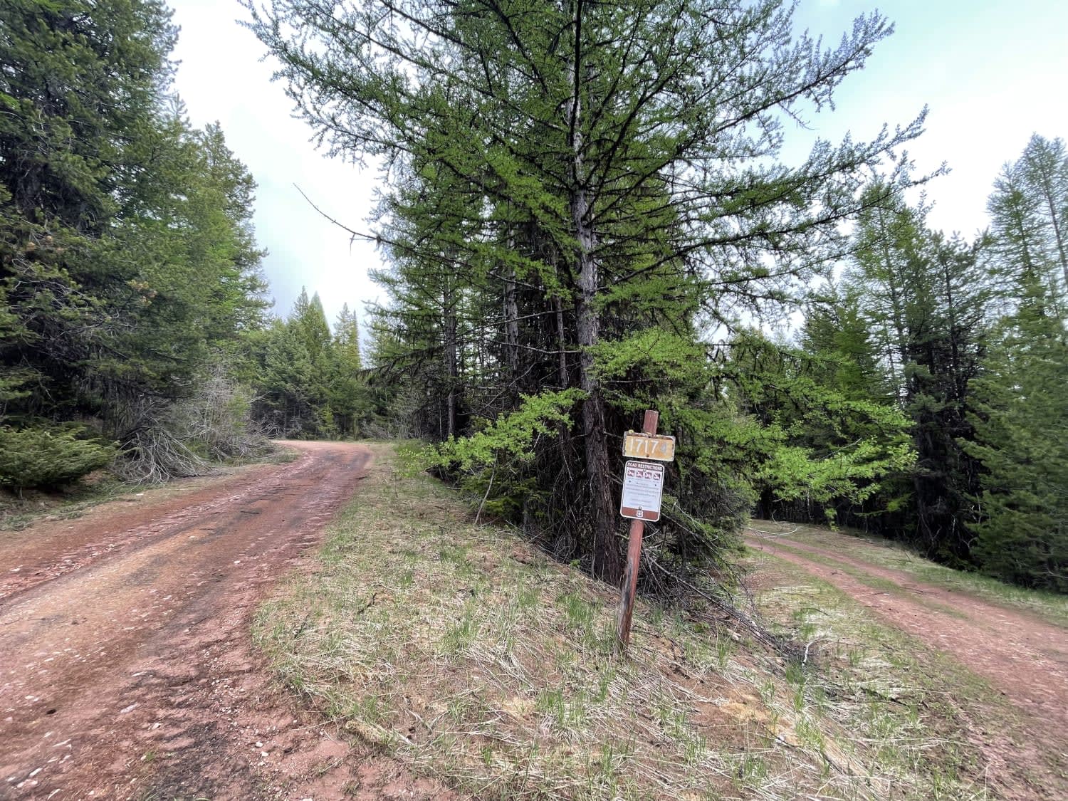
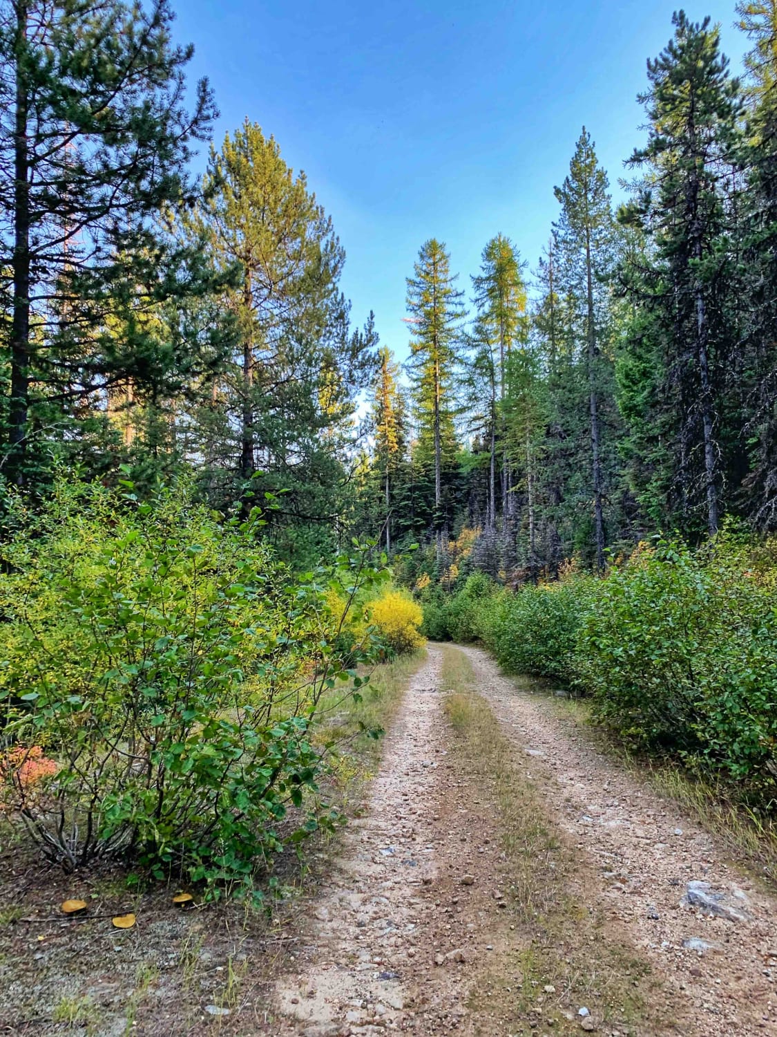
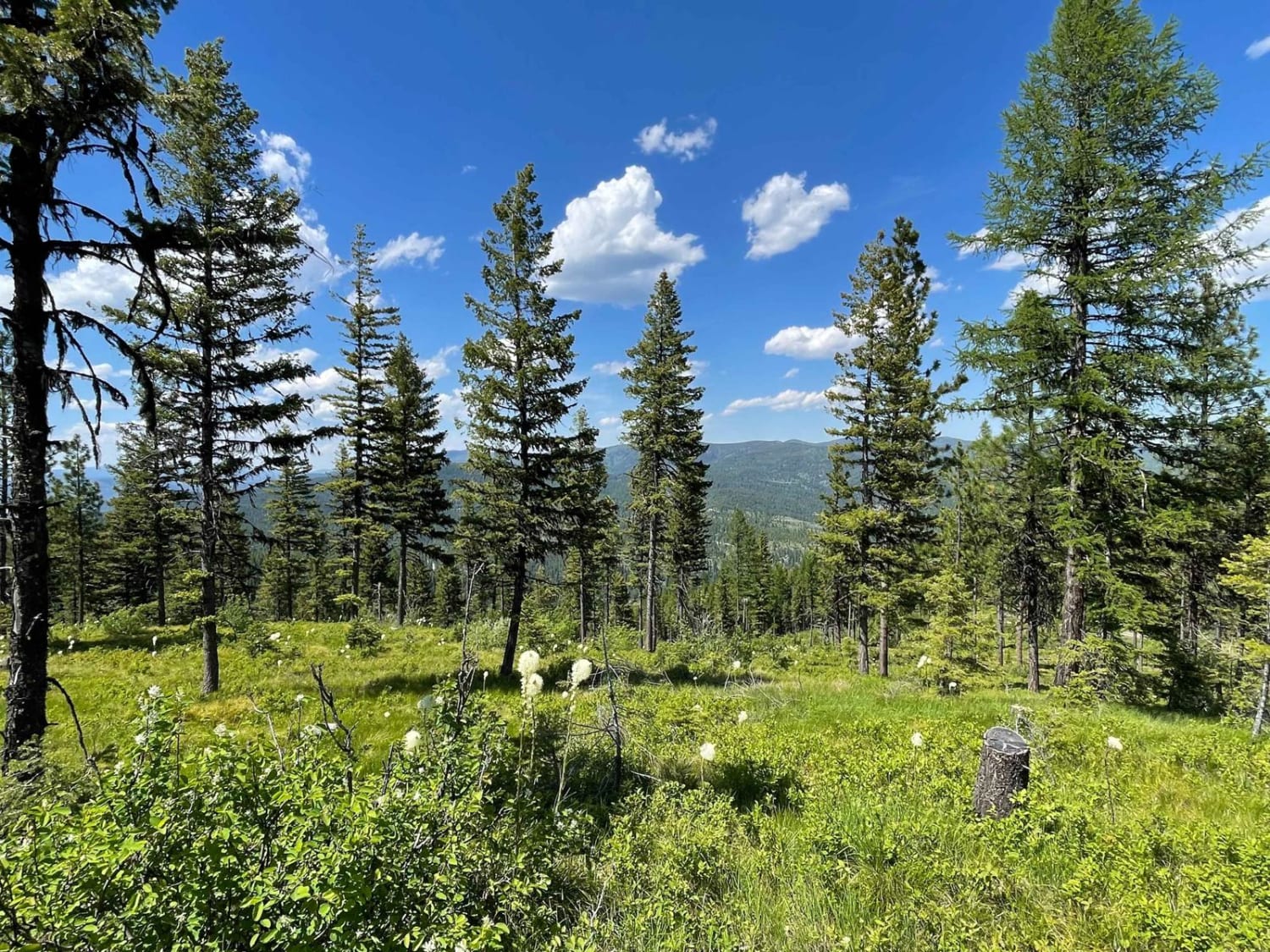
Trail Overview
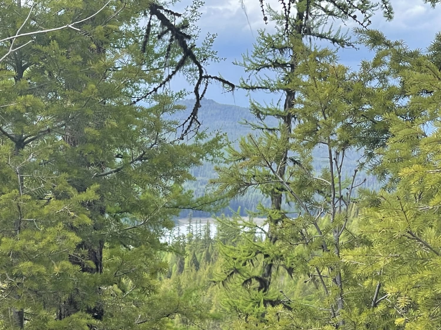
This steep climb up the hill provides easy access to a few different old logging trails that are now closed to motorized travel. Have a horse, mountain bike, two feet? Then these are very open for you. Have a motor on board; you will need to find somewhere else to explore. A few flat spots here and there would serve as a place to camp on a busy weekend. There are tiny glimpses of a view here and there, but generally, the trees are thick. I guess you have to get out and walk to find a view. Some of the switchbacks are pretty tight and may not be appropriate for a larger vehicle. 2 bars LTE service.
Photos of Secondary Road A
Difficulty
Mostly easy, some tighter steep switchback turns may be difficult for long wheelbase vehicles.
Status Reports

Popular Trails
Wild Bill The Coffin and the Playground
McCalla to St.Mary's Connection

Bridger Mountains
Lolo Springs Lookout
The onX Offroad Difference
onX Offroad combines trail photos, descriptions, difficulty ratings, width restrictions, seasonality, and more in a user-friendly interface. Available on all devices, with offline access and full compatibility with CarPlay and Android Auto. Discover what you’re missing today!