South Boulder Creek Loop
Total Miles
6.1
Technical Rating
Best Time
Summer, Fall
Trail Type
60" Trail
Accessible By
Trail Overview
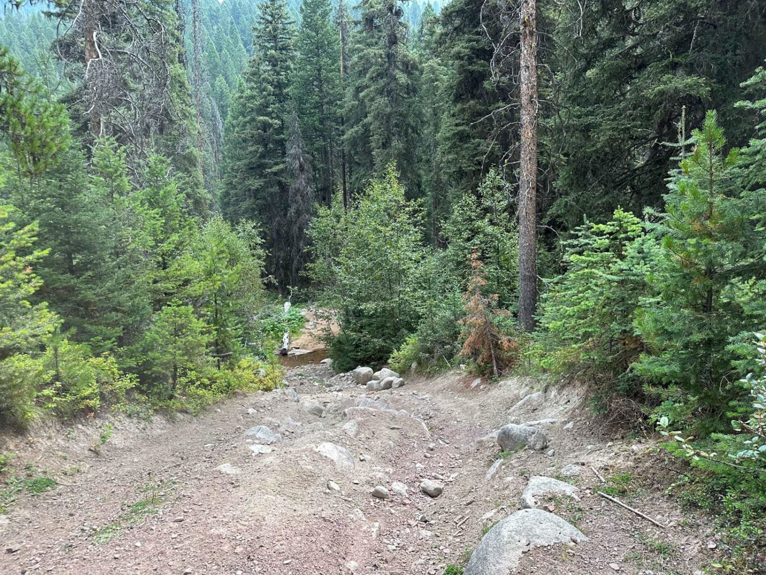
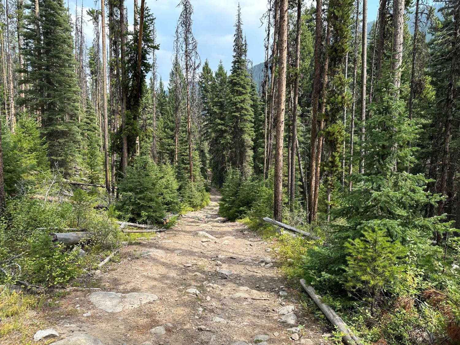
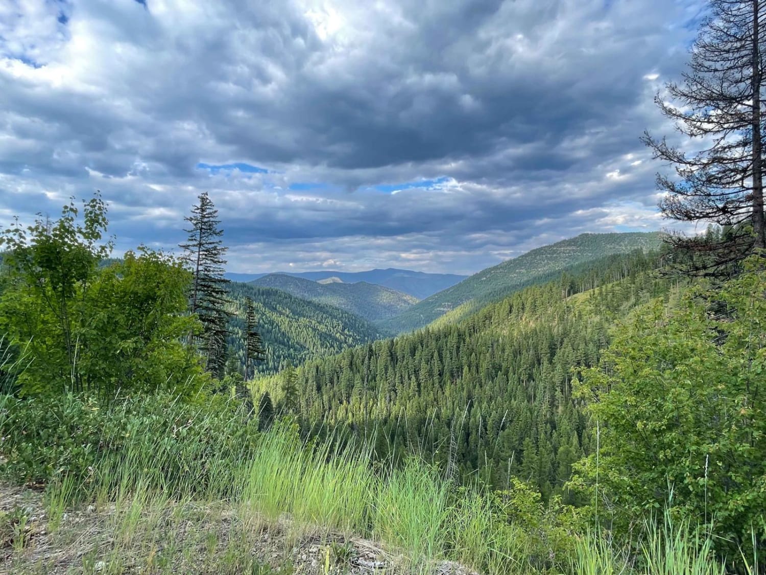
This is a fun and scenic loop with a lot of elevation change. It crosses South Boulder Creek nine times and goes by a few old mining remnants while on this loop. The trail is fairly easy although it has had a couple of recent washouts that can be tricky and there are a couple of rocky areas.
Photos of South Boulder Creek Loop
Difficulty
Overall it's an easy trail but there are a couple of rock ledges and exposed rock as high as 12 inches tall, and a couple of recent washouts can be tricky if you're not paying attention.
Status Reports
South Boulder Creek Loop can be accessed by the following ride types:
- SxS (60")
- ATV (50")
- Dirt Bike
South Boulder Creek Loop Map
Popular Trails
Marshall Creek

Emery Road-Champion Pass
Wild Bill OHV Trailhead
Rock Creek Williams Ridge
The onX Offroad Difference
onX Offroad combines trail photos, descriptions, difficulty ratings, width restrictions, seasonality, and more in a user-friendly interface. Available on all devices, with offline access and full compatibility with CarPlay and Android Auto. Discover what you’re missing today!
