Spook Lake Trail (FS4337, FS16095, FS17541)
Total Miles
7.2
Technical Rating
Best Time
Spring, Summer, Fall
Trail Type
Full-Width Road
Accessible By
Trail Overview
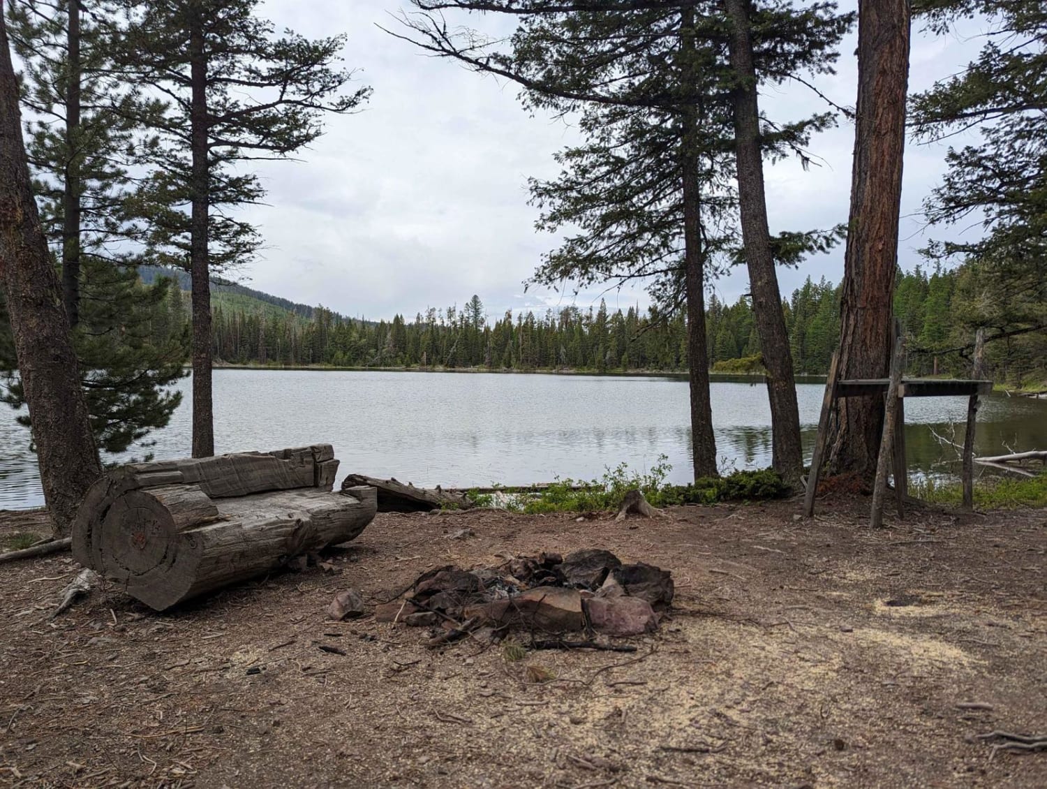
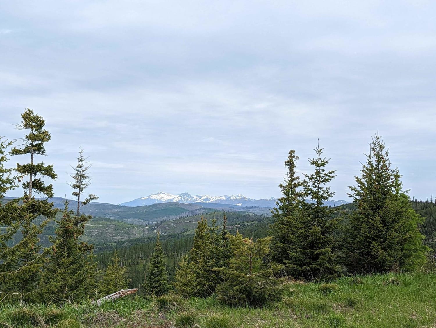
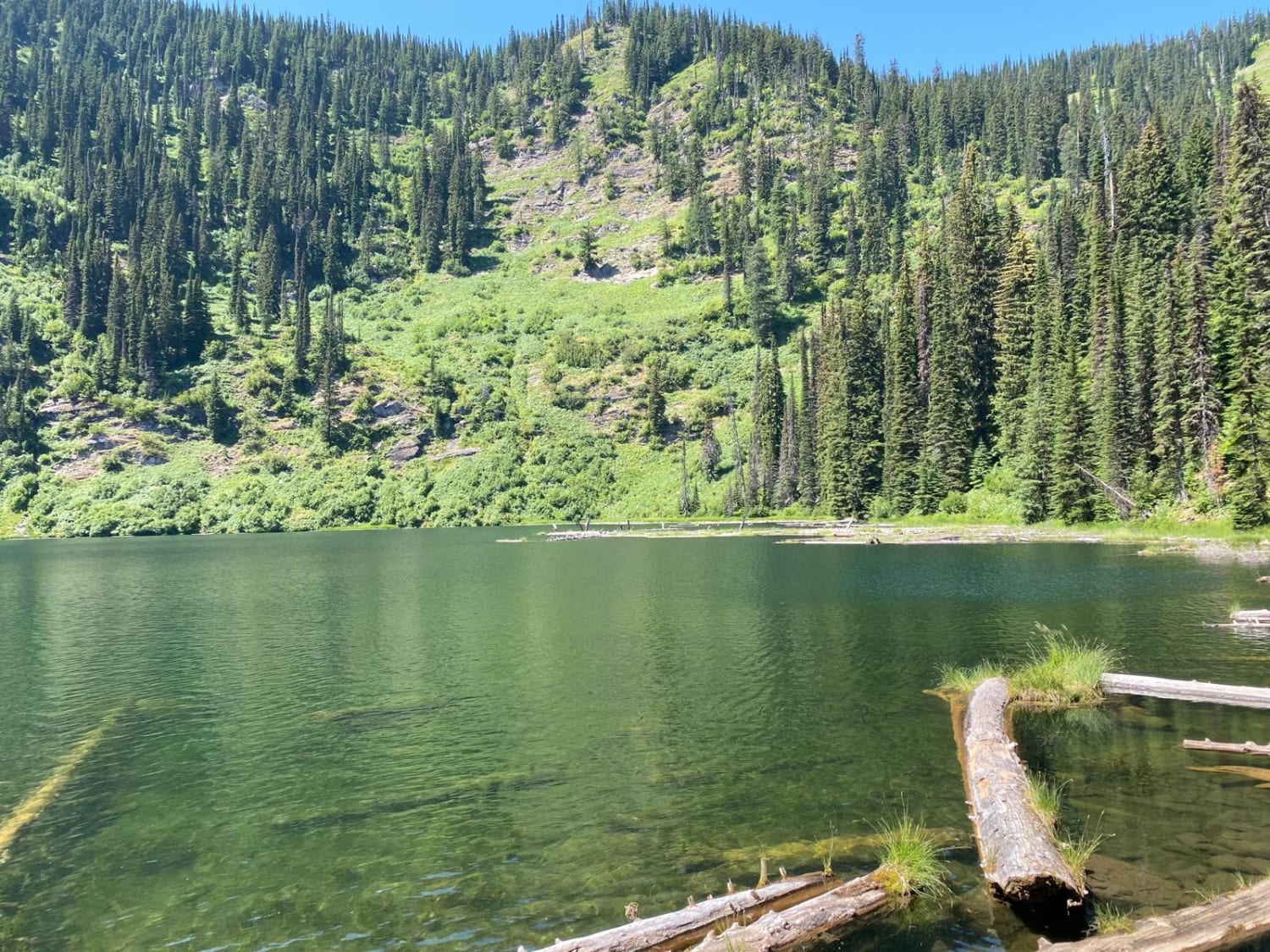
From Placid Cr Road turn onto Forest Service Rd 4337. (Look for the Placid Lake State Park sign pictured) Continue up the well-maintained gravel road. There are several smaller and more difficult tracks to explore or camp along the sides of this route. The views of Placid Lake and the local mountains improve as you ascend the trail. With about a mile left to go the trail turns into a rough and rocky trail. It's not technically difficult, but some line choices may be needed depending on ground clearance. The last half mile starts to close in with some easy hill climbs, mud holes, and line choices needed. The trail leads directly to Spook Lake and from there are two trails around the lake to explore and look for a camp spot.
Photos of Spook Lake Trail (FS4337, FS16095, FS17541)
Difficulty
Most of this trail is a wide and well-maintained graded dirt/gravel road. The last mile gives it a higher rating. After rains, there are several muddy spots and some steep ascents that could be tough when wet and slippery. In the dry, any high clearance stock 4x4 or All-Wheel Drive should be fine. The last half mile would be difficult for anything wider than a full-size American vehicle and larger camping trailers.
Spook Lake Trail (FS4337, FS16095, FS17541) can be accessed by the following ride types:
- High-Clearance 4x4
- SUV
- SxS (60")
- ATV (50")
- Dirt Bike
Spook Lake Trail (FS4337, FS16095, FS17541) Map
Popular Trails
High Mountain Meadows
Blue Mountain Look Out Trail
Moore Lake-St.Regis
Axolotl Lakes Road
The onX Offroad Difference
onX Offroad combines trail photos, descriptions, difficulty ratings, width restrictions, seasonality, and more in a user-friendly interface. Available on all devices, with offline access and full compatibility with CarPlay and Android Auto. Discover what you’re missing today!
