St.Mary's Peak Trail
Total Miles
3.2
Technical Rating
Best Time
Summer, Fall, Spring
Trail Type
Full-Width Road
Accessible By
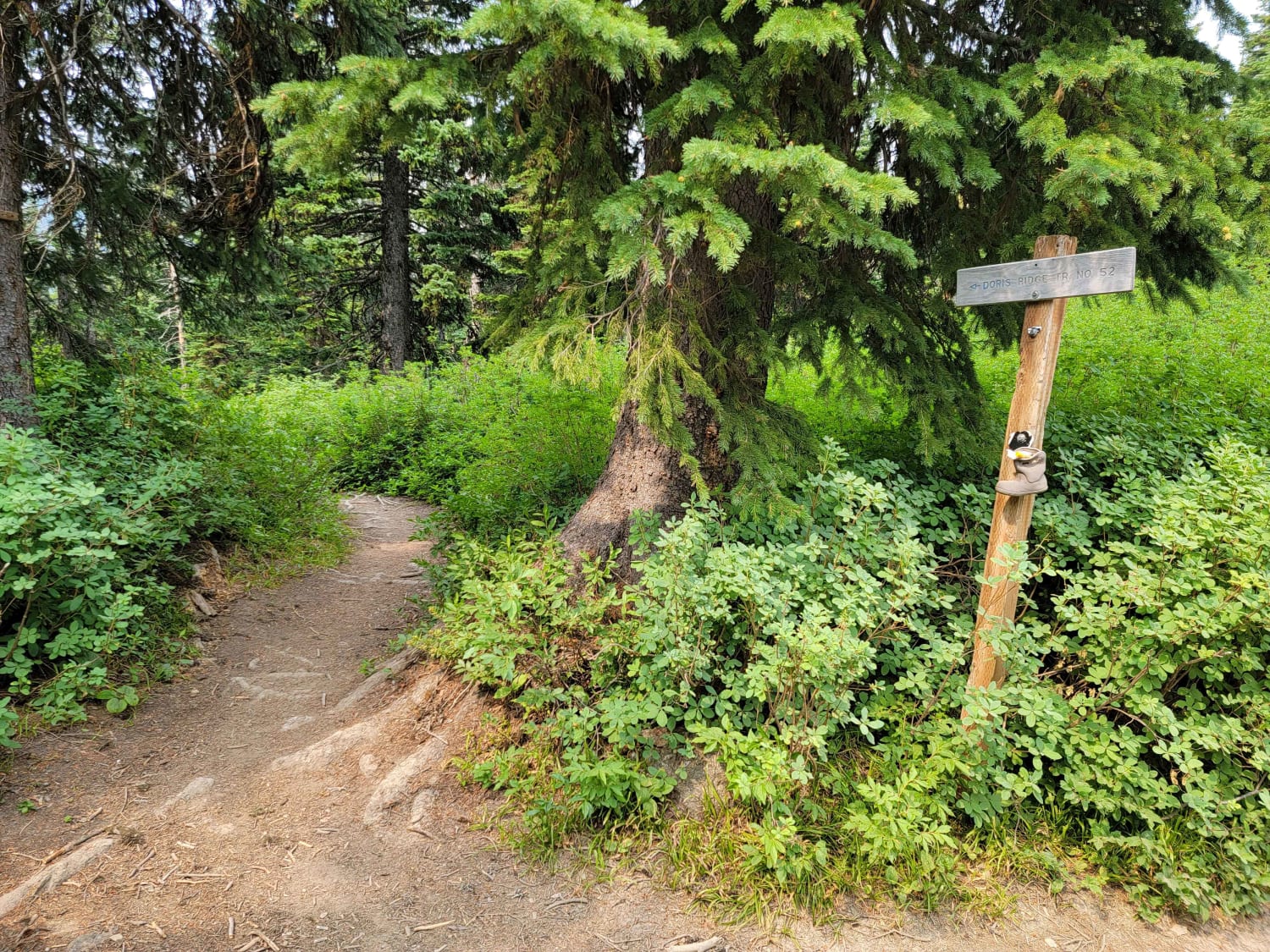
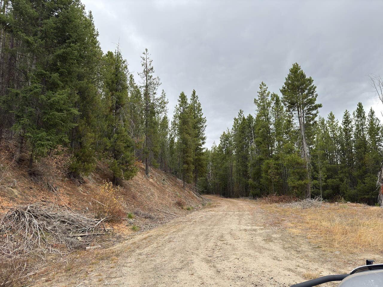
Trail Overview
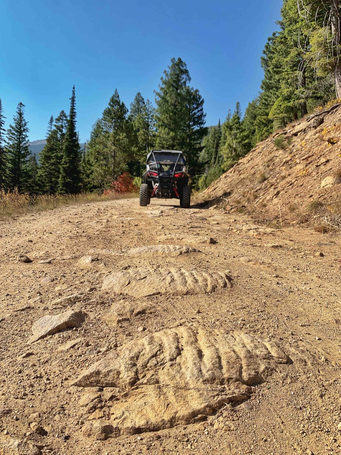
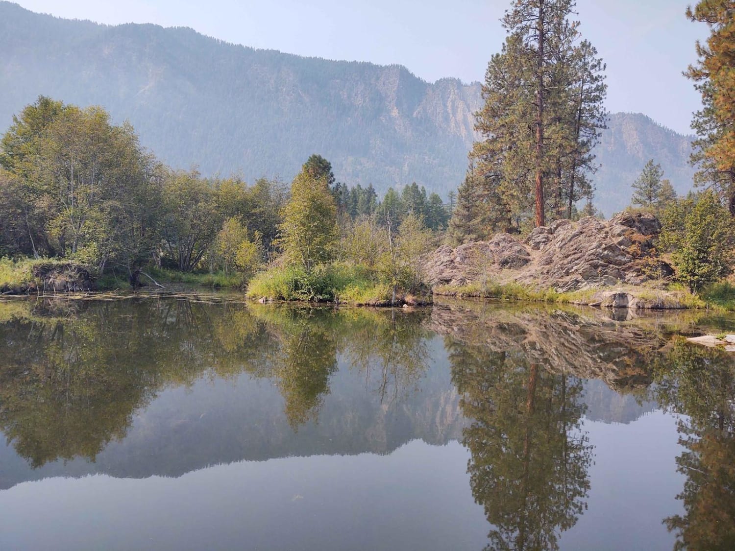
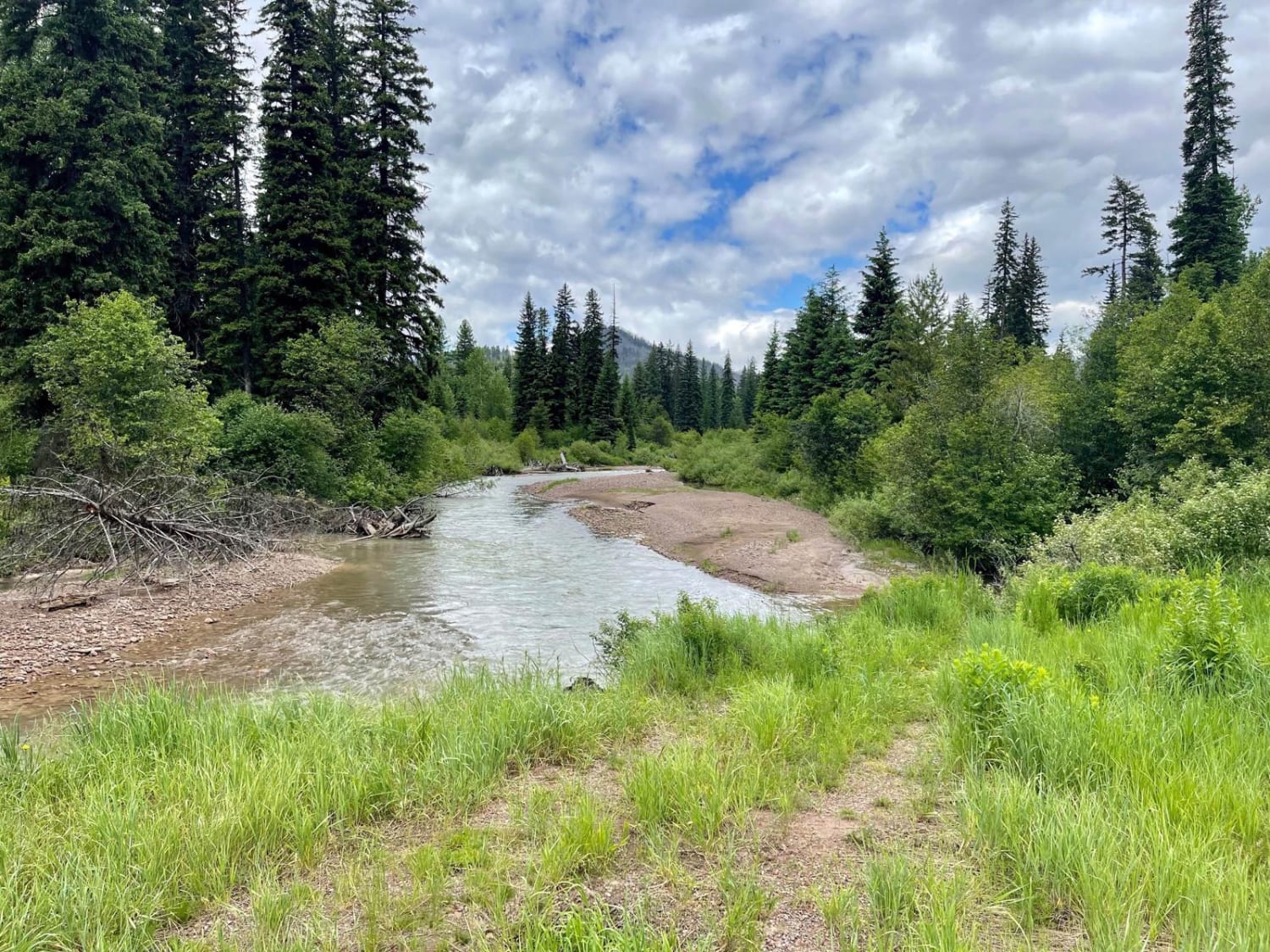
This trail is mostly a 1 but earns the 2 rating in the last mile due to two switchbacks getting to the top of the trail. This trail is used primarily to access the very popular St.Mary's hiking trailhead. There is a small parking area at the top that tightly accommodates about 10 vehicles. From the parking area at the end of the trail there, it's a 4.5-mile switchback hike to a lookout tower atop St. Mary's Peak. Most of the driving trail is a well-maintained wide gravel dirt road with a few potholes. It is very twisty with lots of beautiful trees changing colors in the fall, making this a nice scenic drive. There are also a few spots that look out over the Bitterroot Valley. This trail does have quite a few blind corners as it climbs in elevation and the trail is dusty if it hasn't rained. Watch for less-than-polite oncoming traffic due to the popularity of this hiking trail. Exercise extreme caution if taking a 2WD or lower-clearance vehicle with street tires on the last mile up to the top. The trail is washed out in a few spots and very rocky. It could easily puncture a street tire.
Photos of St.Mary's Peak Trail

Difficulty
Due to the very popular hiking trail at the end of this driving trail, expect quite a bit of vehicle traffic. There are some blind corners and the trail is dusty if it hasn't rained. Watch for less-than-polite oncoming traffic.
History
In 1934, the U.S. Forest Service established the first St. Mary Peak lookout to assist with fire detection along the Montana-Idaho divide. The Civilian Conservation Corps (CCC) constructed the original lookout on a 50-foot tower, which served until the spring of 1951 when it was destroyed by high winds.
Status Reports
St.Mary's Peak Trail can be accessed by the following ride types:
- High-Clearance 4x4
- SUV
- SxS (60")
- ATV (50")
- Dirt Bike
St.Mary's Peak Trail Map
Popular Trails
Aurora Basin Road
The onX Offroad Difference
onX Offroad combines trail photos, descriptions, difficulty ratings, width restrictions, seasonality, and more in a user-friendly interface. Available on all devices, with offline access and full compatibility with CarPlay and Android Auto. Discover what you’re missing today!