Taft Summit
Total Miles
20.4
Technical Rating
Best Time
Summer
Trail Type
Full-Width Road
Accessible By
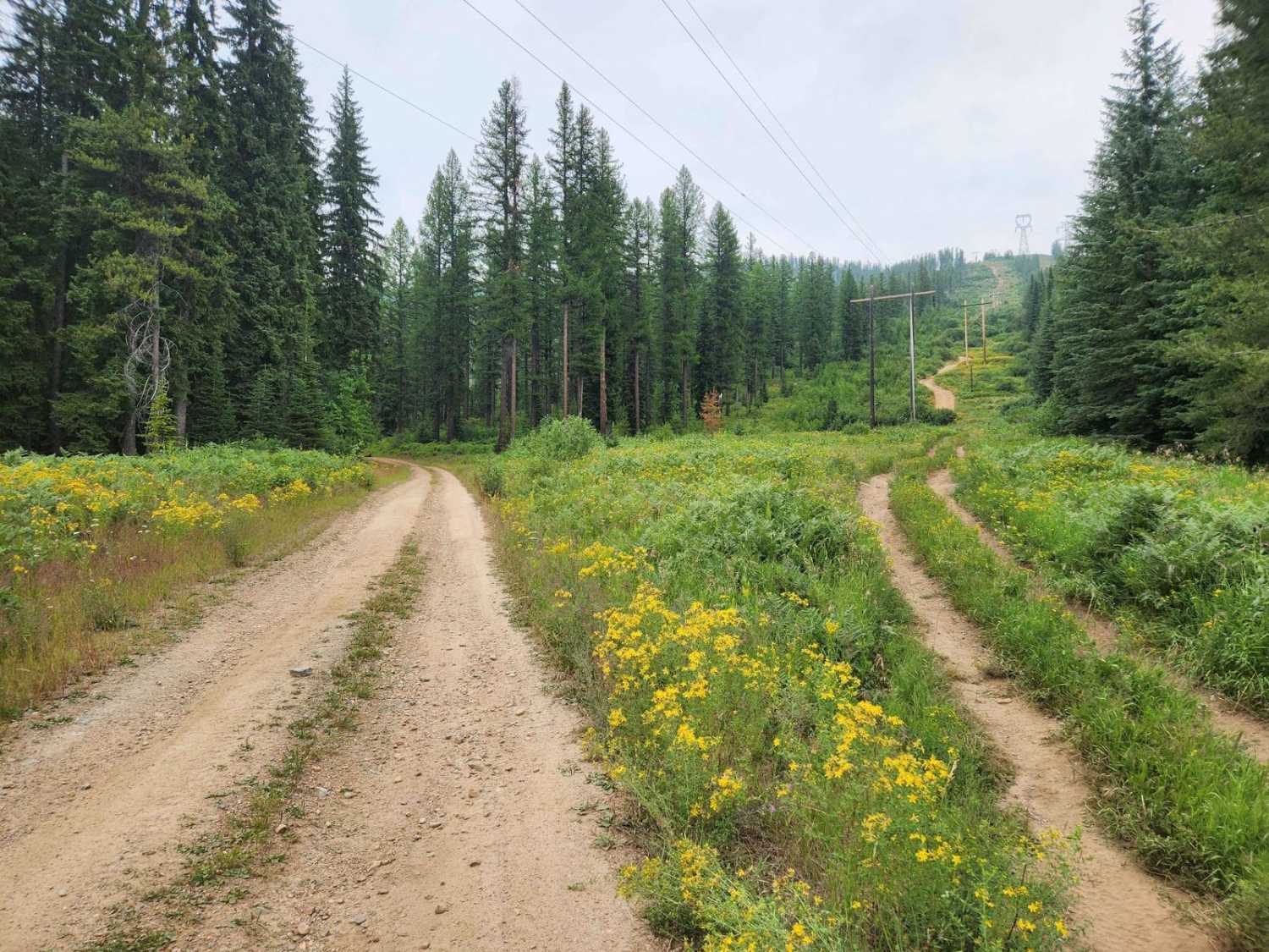
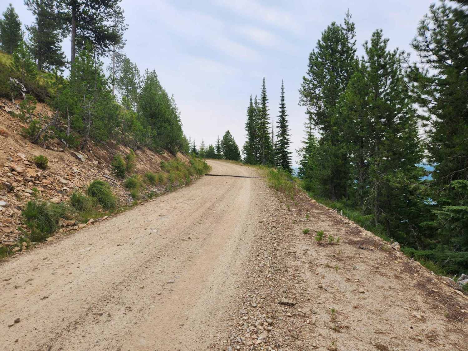
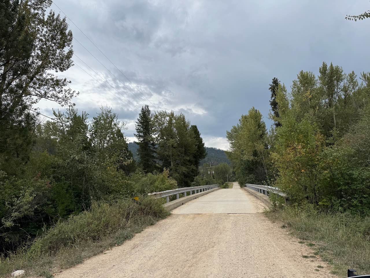
Trail Overview
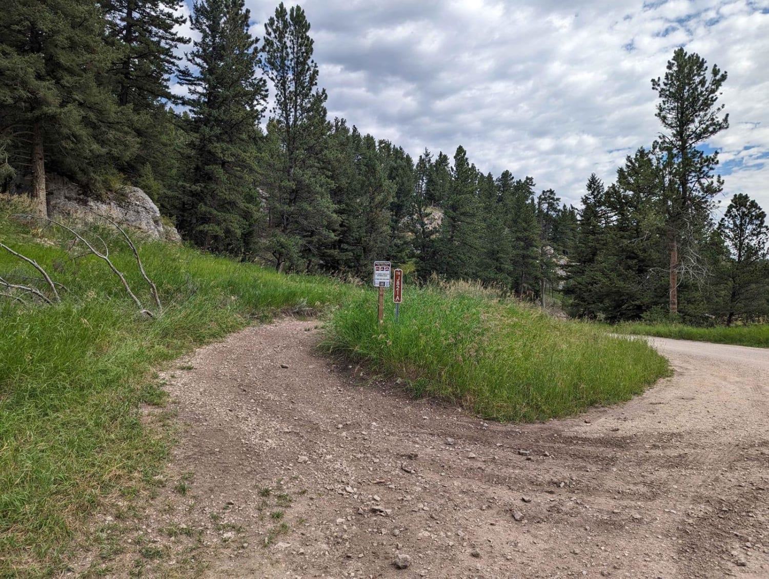
Taft Summit is a moderately frequented mountain pass road between Taft, Idaho, and Thompson Falls, Montana with fantastic views and abundant wildlife. The official route name is National Forest Development Road 7709. Huckleberry pickers love this area, the only downside is that it runs parallel to high-voltage transmission lines for most of the route. The gravel trail surface is generally good, though rain and snow can cause slippery conditions. The route becomes mildly steep in some areas, which can be of concern, especially during winter travel. There are limited dispersed camping spots on the trail, though there are many offshoot trails and other routes in the area. The switchbacks on the Idaho side have many shortcut trails that vary in condition and difficulty. There are no restroom facilities on the route, be sure to bury or pack out any waste or toilet paper. Fire has been prevalent in the area, from 1910 when Taft was destroyed by fire; to fires as recent as 2024. Road construction on Interstate 90 can make accessing the route difficult with detours. Cell phone service is spotty at best, and the closest point of assistance is Lookout Pass Ski area to the west on the top of Lookout Pass.
Photos of Taft Summit
Difficulty
Difficulty can increase with the use of bypass routes and inclement weather conditions.
Status Reports
Taft Summit can be accessed by the following ride types:
- High-Clearance 4x4
- SUV
- SxS (60")
- ATV (50")
- Dirt Bike
Taft Summit Map
Popular Trails
Piquett Creek Part 1
Whisky Bay Day Use 1

Ettien Ridge Connector
The onX Offroad Difference
onX Offroad combines trail photos, descriptions, difficulty ratings, width restrictions, seasonality, and more in a user-friendly interface. Available on all devices, with offline access and full compatibility with CarPlay and Android Auto. Discover what you’re missing today!