Tin Cup Creek
Total Miles
2.1
Technical Rating
Best Time
Fall, Summer, Spring
Trail Type
Full-Width Road
Accessible By
Trail Overview
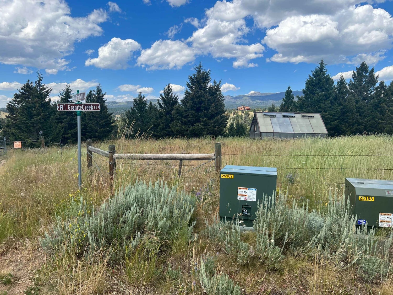
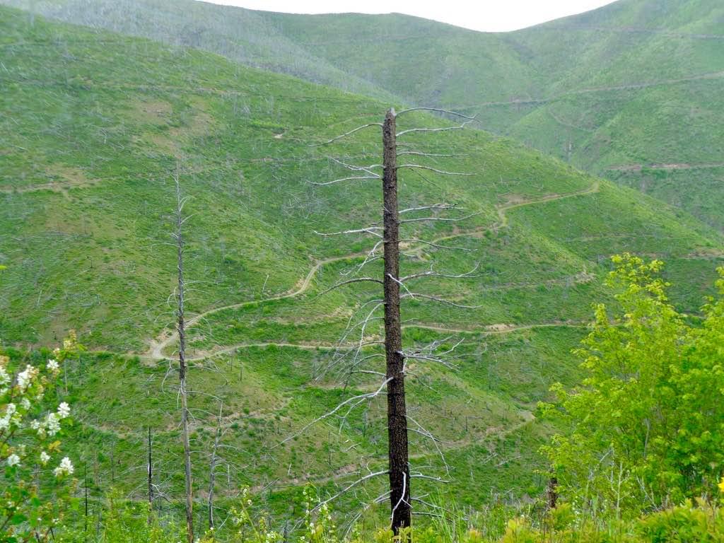
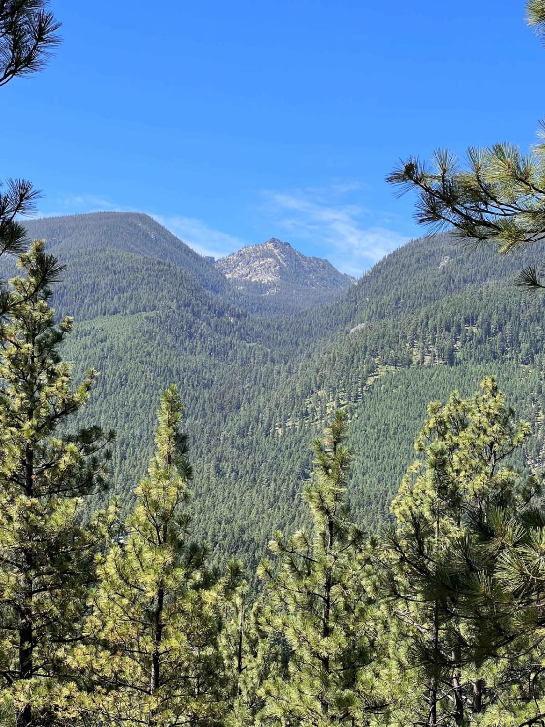
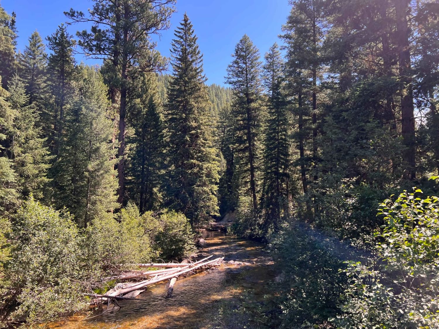
This trail is an easy, grated gravel and dirt run. You wouldn't ever think this neat area was here. The turn for the trail is right in the cute town of Darby. It begins running through private property and signs, asking everyone to please travel slowly. Once the trail is out of private property, an offshoot on the left leads out to dispersed camping in the trees. A bit of a mountain view can be seen through the trees. The trail eventually turns and crosses a wooden bridge and Tin Cup Creek. Just passed the bridge is a turnaround, a parking area, a couple of fire rings, and the Tin Cup Hiking Trailhead. There is also foot access to the creek. It's shaded by trees and a nice area to play in the water. There is some cell service in and out along the way and closer to town.
Photos of Tin Cup Creek
Difficulty
Generally two vehicles wide, some potholes and lots of washboard
Tin Cup Creek can be accessed by the following ride types:
- High-Clearance 4x4
- SUV
- SxS (60")
- ATV (50")
- Dirt Bike
Tin Cup Creek Map
Popular Trails

Granite Creek Road (161/49)

South Fork Nemote Creek - Sheridan Ridge Loop

Bishop Park Connector
The onX Offroad Difference
onX Offroad combines trail photos, descriptions, difficulty ratings, width restrictions, seasonality, and more in a user-friendly interface. Available on all devices, with offline access and full compatibility with CarPlay and Android Auto. Discover what you’re missing today!


