Verde-Windfall
Total Miles
9.3
Technical Rating
Best Time
Spring, Summer, Fall
Trail Type
Full-Width Road
Accessible By
Trail Overview
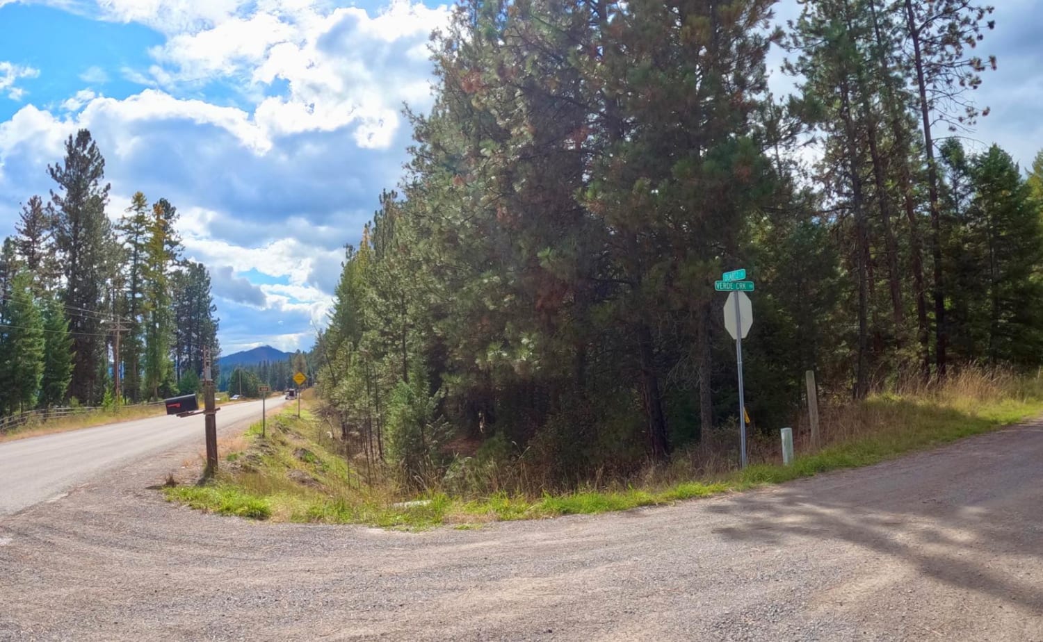
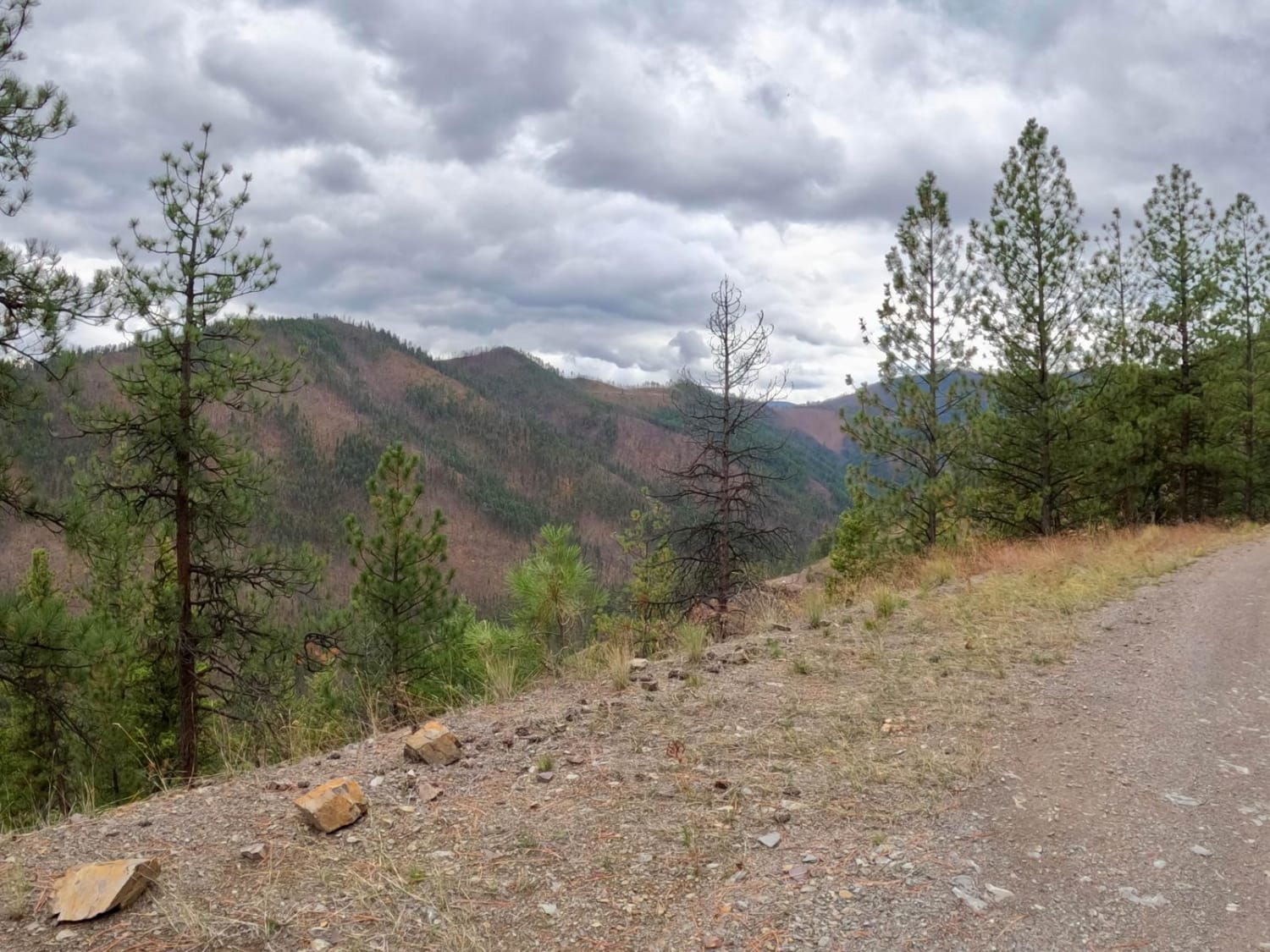
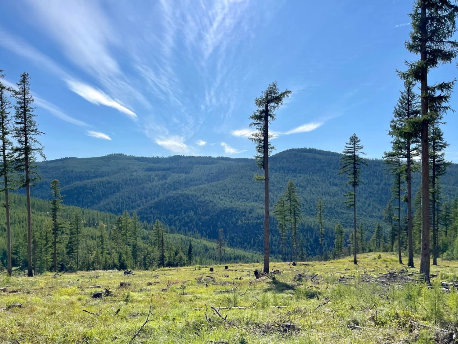
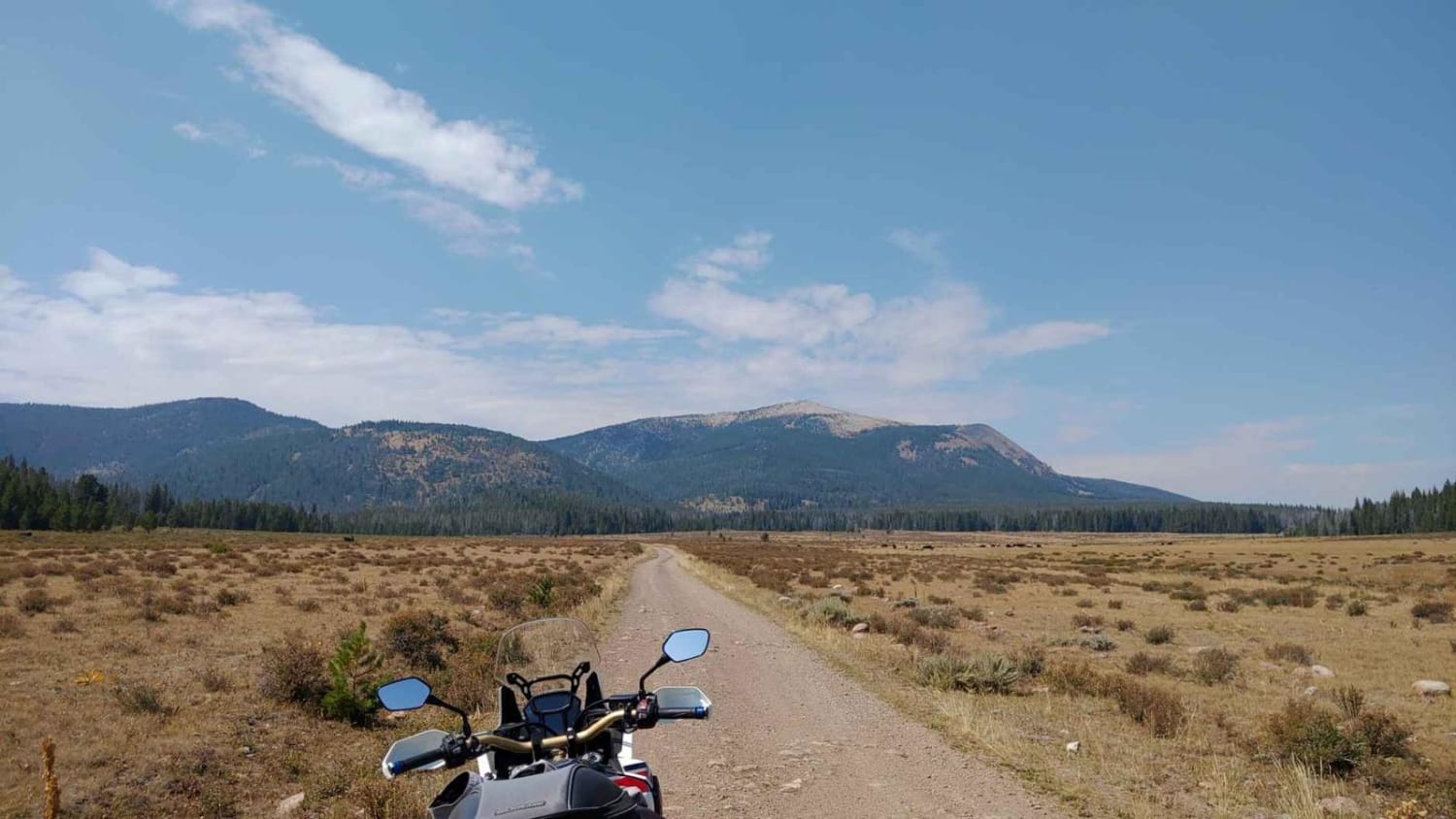
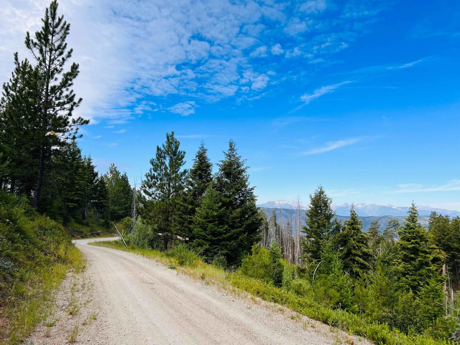
The route begins on a gravel two-lane road that eventually will go to one lane in places, with some spots to pass another vehicle. Traffic is very light on the route with an occasional hunter or UTV along the way. There is cell service along all parts of the route. The route has beautiful views of the flora changing in the fall months. Some areas of the route pass through a large area of new growth due to fire. You can expect to climb 2,300 feet from the start to the end of the route. Wildlife can be seen along the route with many views of the Highway 90 Corridor below you. There are no facilities on this route, but there are spots to stop for a snack and take pictures.
Photos of Verde-Windfall
Difficulty
The route is mainly made up of gravel, but loose rock and fallen trees could be on the route at any time. Steep banks and sharp blind curves can be encountered. The route will gradually climb 2,300 feet from start to finish.
History
The route passes through a large burned area of the Lolo Forest.
Status Reports
Verde-Windfall can be accessed by the following ride types:
- High-Clearance 4x4
- SUV
- SxS (60")
- ATV (50")
- Dirt Bike
Verde-Windfall Map
Popular Trails
Minesinger to Hidden Lake Pt. 2
Canyon Creek - Quartz Hill
Blue Mountain Connection
The onX Offroad Difference
onX Offroad combines trail photos, descriptions, difficulty ratings, width restrictions, seasonality, and more in a user-friendly interface. Available on all devices, with offline access and full compatibility with CarPlay and Android Auto. Discover what you’re missing today!
