Verdy Moccasin Ridge
Total Miles
11.0
Technical Rating
Best Time
Fall, Summer, Spring
Trail Type
Full-Width Road
Accessible By
Trail Overview
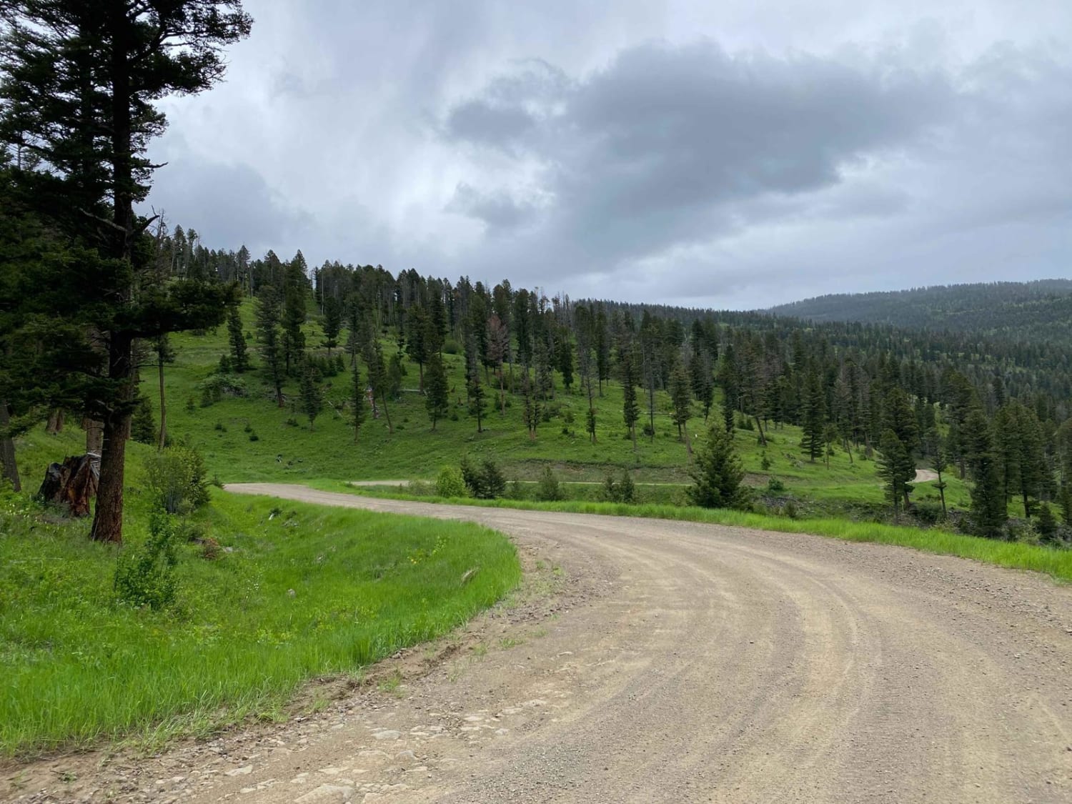
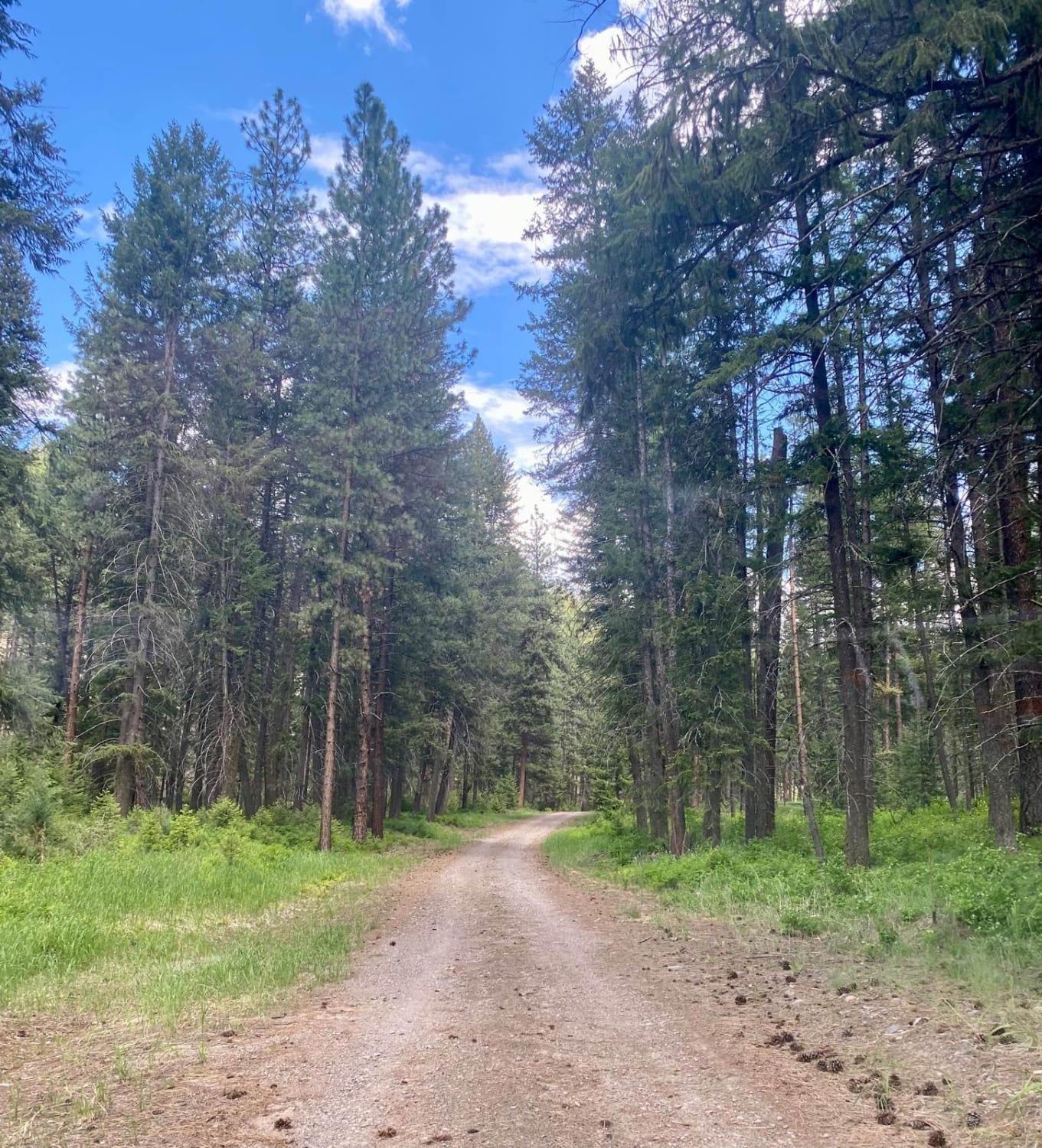
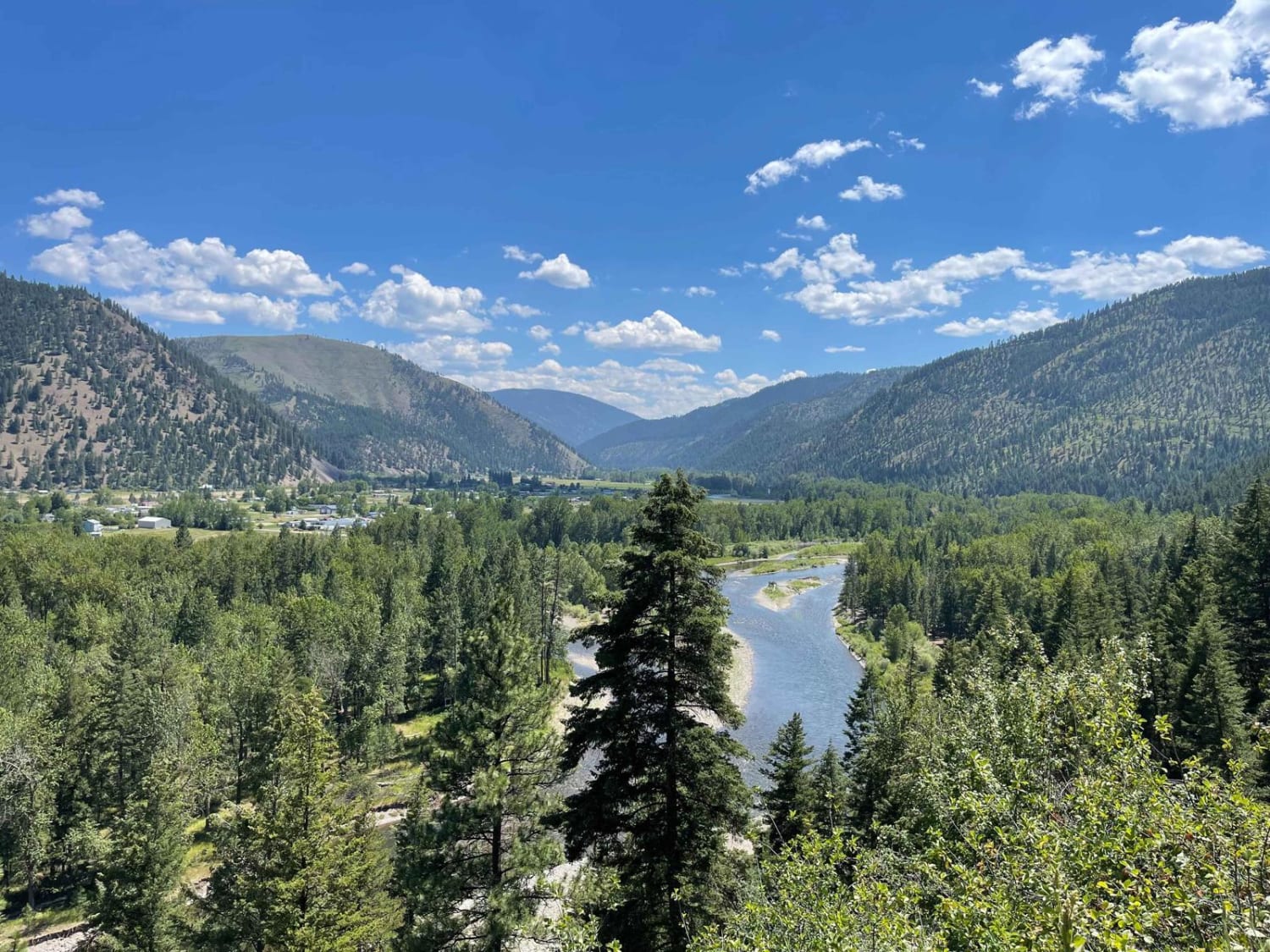
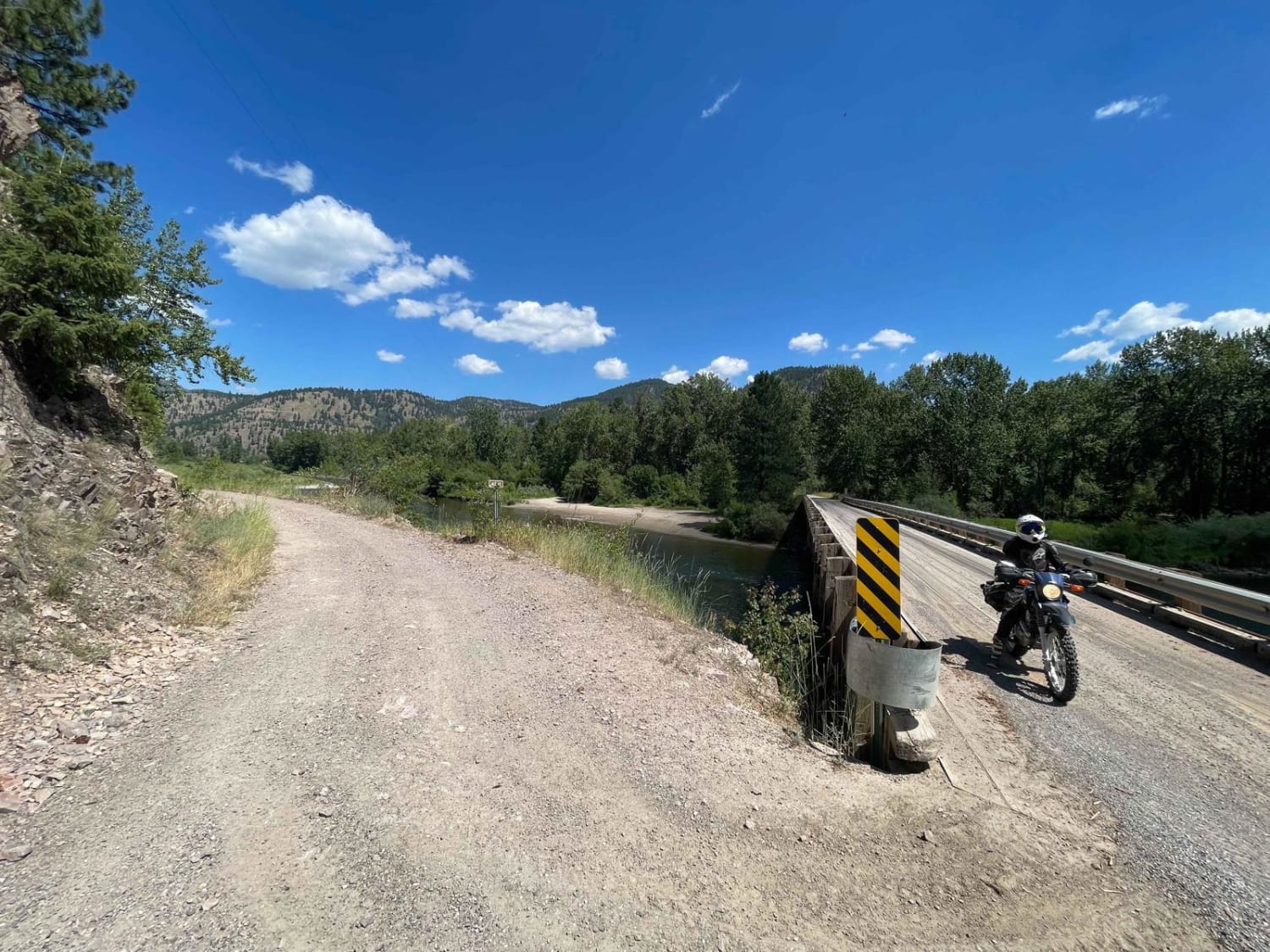
This moderate shelf road leads from the valley below near Connor and heads up into the Sapphire Mountains. The beginning is a shelf road with a steep dropoff with tight turns, loose rocky switchbacks, and ever-changing outstanding views of the valley as you make your ascent. There are a few pullouts for camping here and there; however, nothing epic. Once at the "top," the trail is primarily deep pot craters, "potholes" with the occasional large puddle. As the trees break, you get ridiculous views of the surrounding mountains and valleys. This is an excellent way to access the network of trails up here. One bar of Verizon LTE cell service.
Photos of Verdy Moccasin Ridge
Difficulty
Loose hill climb, Massive potholes, Pullouts to pass, tight turns.
Status Reports
Verdy Moccasin Ridge can be accessed by the following ride types:
- High-Clearance 4x4
- SUV
- SxS (60")
- ATV (50")
- Dirt Bike
Verdy Moccasin Ridge Map
Popular Trails

Upper Idaho Gulch

Start of Olsen Creek

Eddy Creek Road-Deep Creek Road
The onX Offroad Difference
onX Offroad combines trail photos, descriptions, difficulty ratings, width restrictions, seasonality, and more in a user-friendly interface. Available on all devices, with offline access and full compatibility with CarPlay and Android Auto. Discover what you’re missing today!


