WP231
Total Miles
2.0
Technical Rating
Best Time
Spring, Summer, Fall
Trail Type
50" Trail
Accessible By
Trail Overview
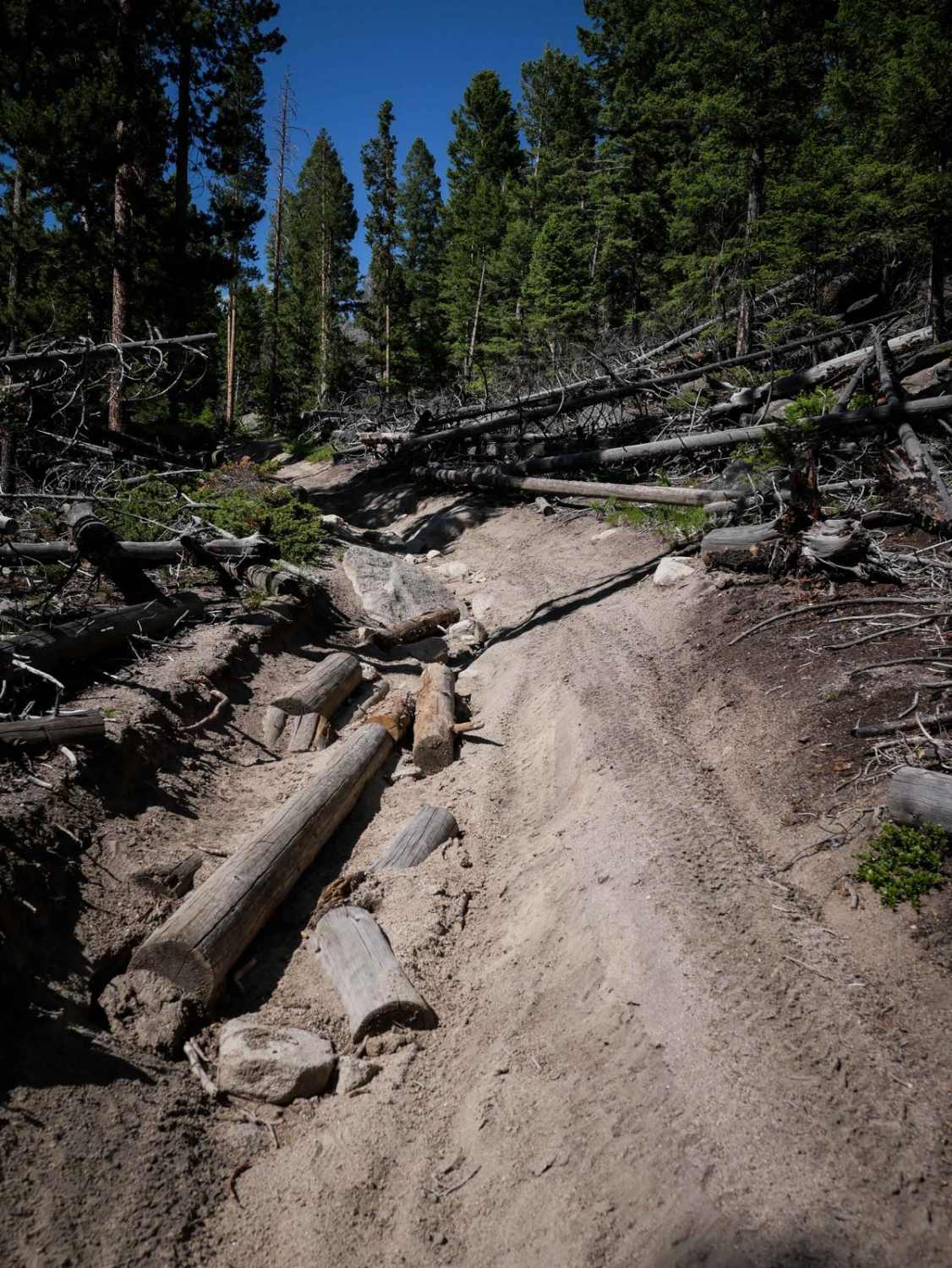
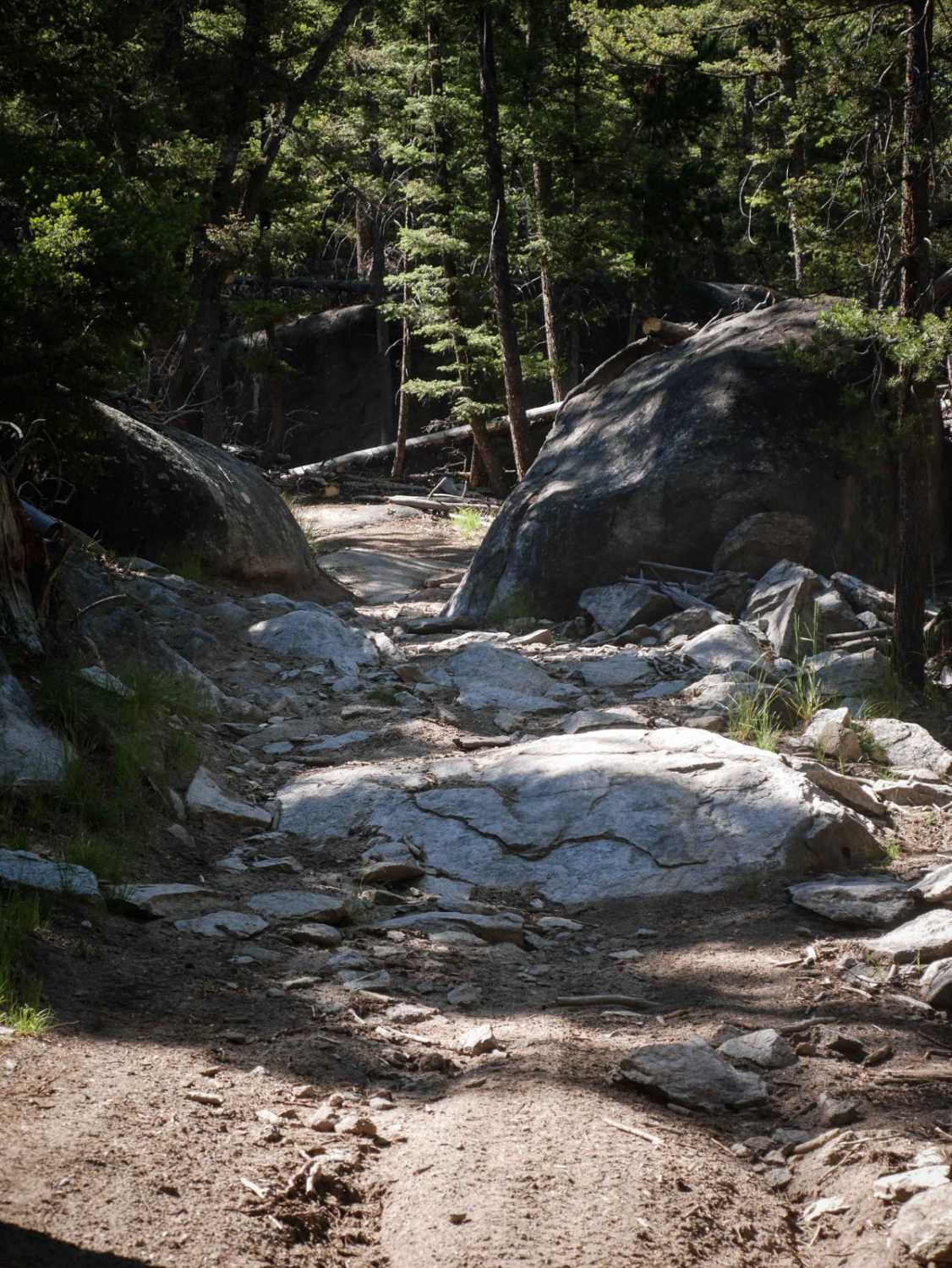
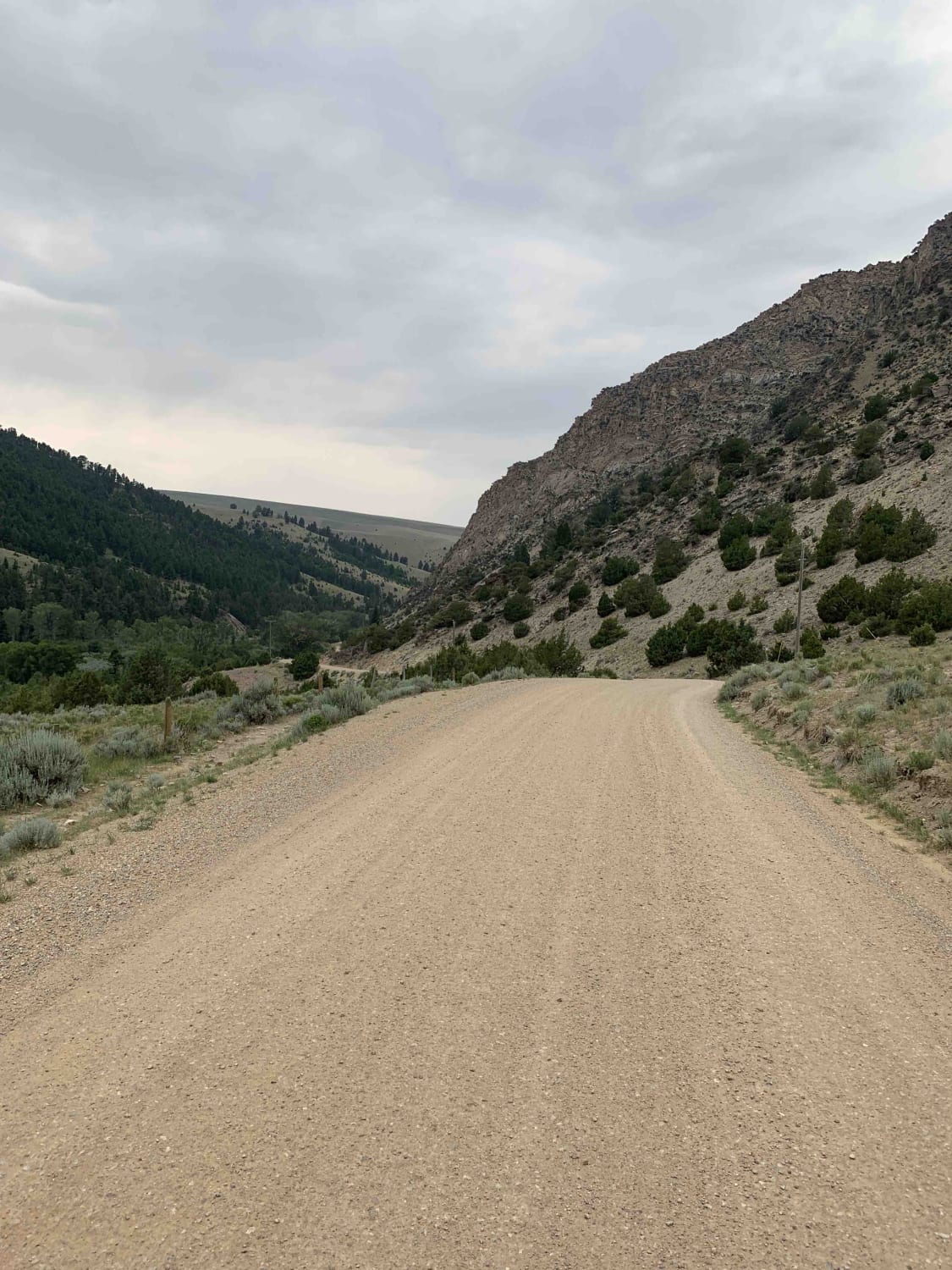
WP231 starts from the south end as an easy ATV trail, winding through a pine tree forest on a grassy overgrown two-track. The beginning has some ruts, but it starts to get rockier as it goes north. There are some embedded bumpy rocks on the surface of the trail. Then the embedded rock turns into boulders and large surfaces of rock, and you have to ride through a rock pinch between two giant boulders lining the trail. As you go north there is one spot with a bunch of logs and rocks filling in a deep rut on one side of the trail to help the trail not be so tippy for ATVs. It's a pretty steep climb up from the bottom, gaining 700 feet in a bit over a mile. You can keep going north to connect to the GSVA route. The trail passes through small sections of private property, so please be respectful.
Photos of WP231
Difficulty
This is a moderate ATV trail due to rocky sections with embedded boulders, steep climbs, and deep ruts.
Status Reports
Popular Trails
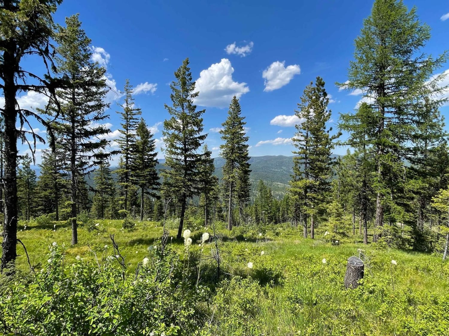
Lolo Springs Lookout
Southside Road
West Greenough
The onX Offroad Difference
onX Offroad combines trail photos, descriptions, difficulty ratings, width restrictions, seasonality, and more in a user-friendly interface. Available on all devices, with offline access and full compatibility with CarPlay and Android Auto. Discover what you’re missing today!
