Calico Mountain Jeep Trail
Total Miles
20.5
Elevation
2,151.87 ft
Duration
2.5 Hours
Technical Rating
Best Time
Spring, Summer, Fall
Trail Overview
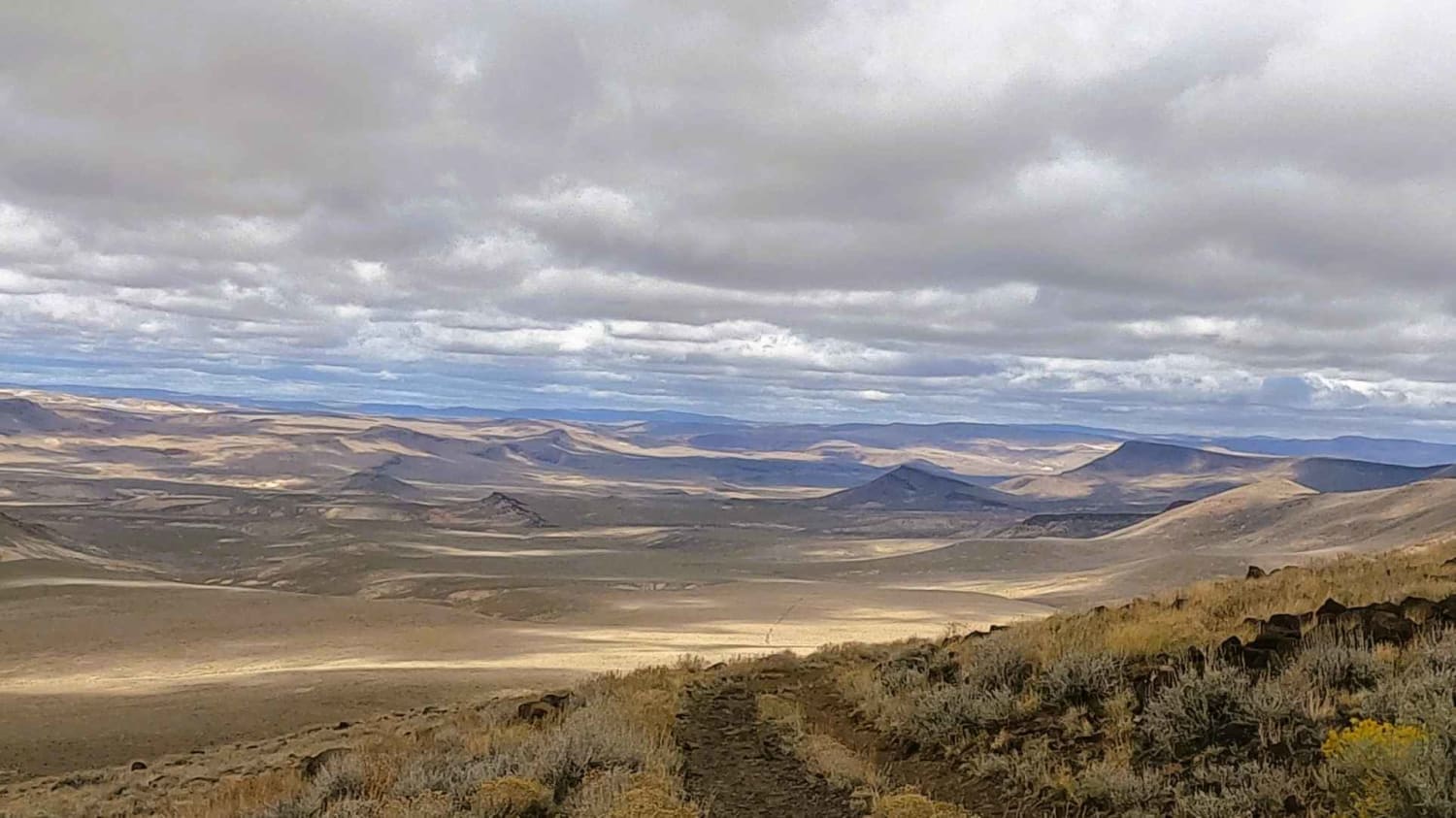
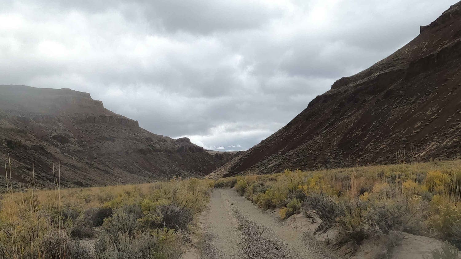
This rugged "Jeep Trail" cuts between the Calico Mountain Wilderness and the Black Rock Lake Wilderness in northeast Nevada. It connects Soldier Meadow Road to Black and Smokey Canyons before ultimately terminating at the High Rock Canyon route. It is an alternate adventure route used to connect High Rock Canyon to Black Rock playa. Traveling east to west, this trail leaves Soldier Meadow Road, passes through Jackass Flats, and then through a cattle gate just after an abandoned ranch before winding its way up to the summit and then dropping down into McConnell Canyon. It climbs over 7,000 feet at the summit and there are numerous sections of shelf roads, so this road should be avoided during winter.
Photos of Calico Mountain Jeep Trail
Difficulty
This is a rugged rocky two track.
Status Reports
Popular Trails
13-Mile Loop
Adams McGill Reservoir Scenic Loop Part 3
Historical and Petroglyph trail

Chiatovitch Creek to Middle Creek
The onX Offroad Difference
onX Offroad combines trail photos, descriptions, difficulty ratings, width restrictions, seasonality, and more in a user-friendly interface. Available on all devices, with offline access and full compatibility with CarPlay and Android Auto. Discover what you’re missing today!
