Cottonwood Pass
Total Miles
11.1
Technical Rating
Best Time
Spring, Summer, Fall, Winter
Trail Type
High-Clearance 4x4 Trail
Accessible By
Trail Overview
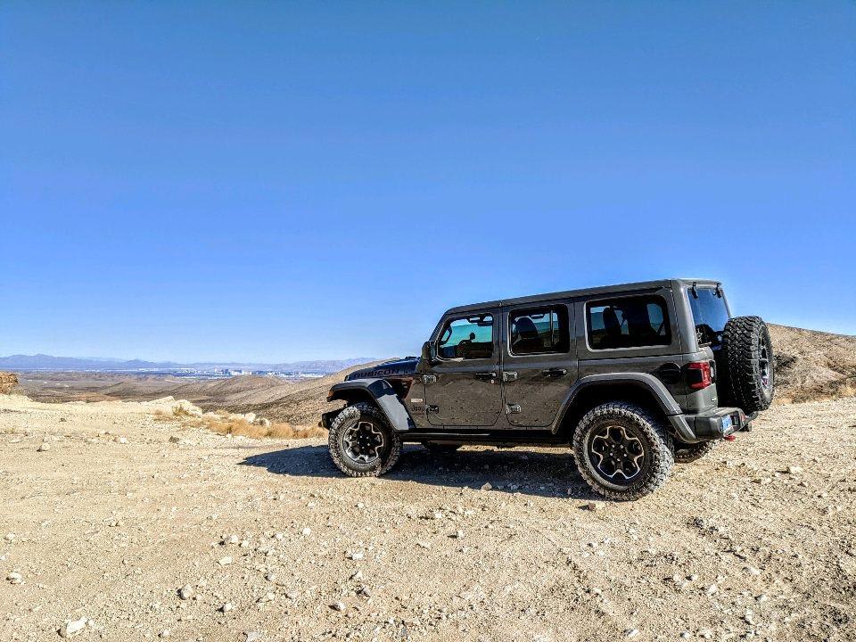
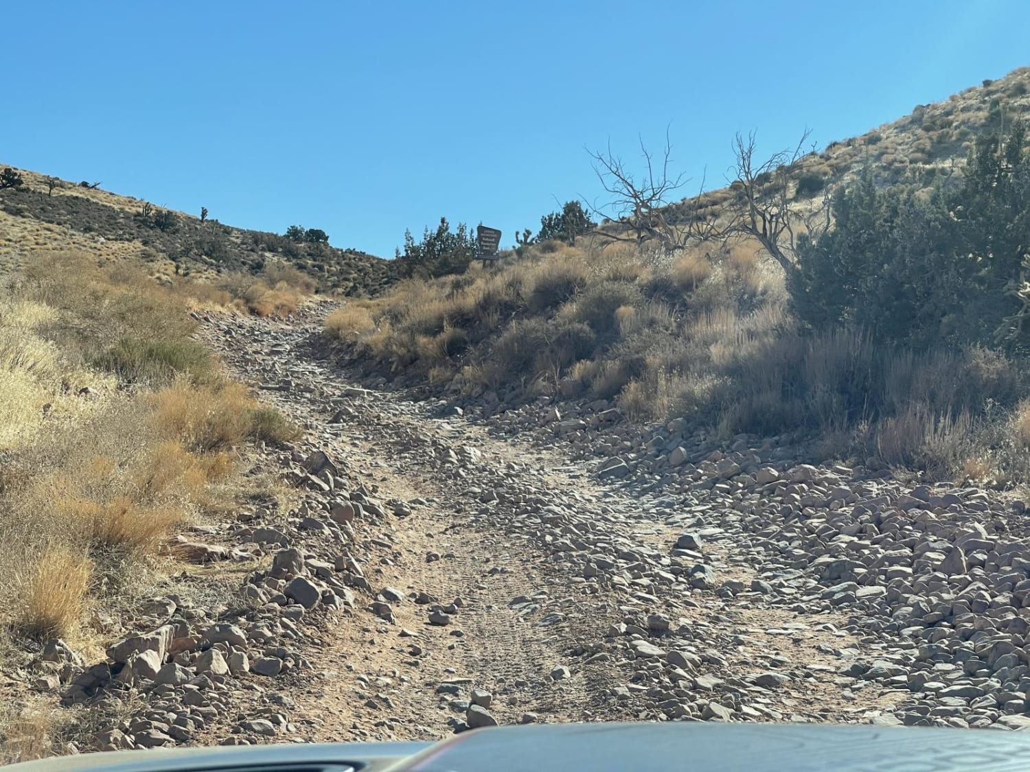
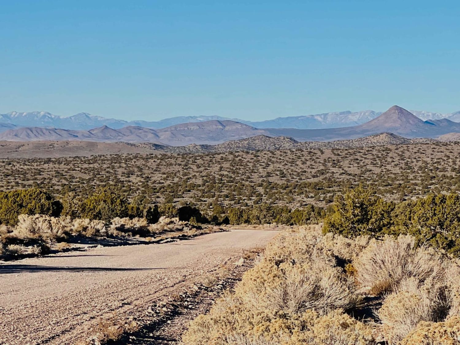
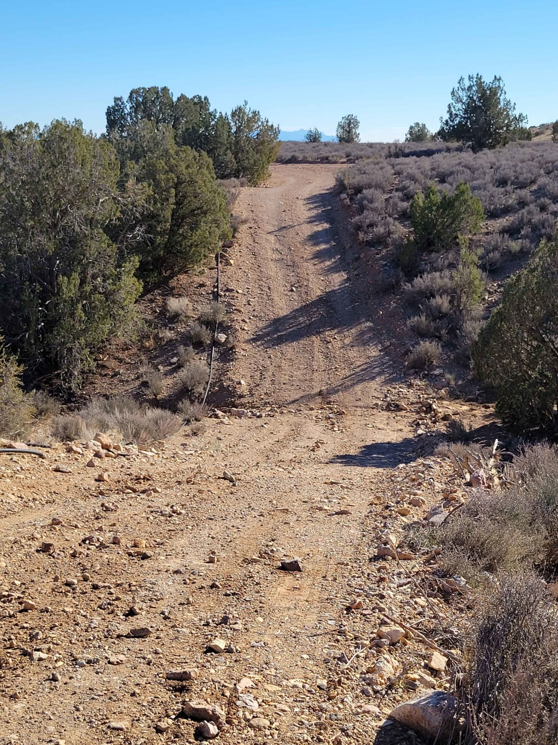
Cottonwood Pass runs north and south through the Spring Mountain and Red Rock conservation areas just west of Las Vegas, NV. From Blue Diamond Road, you can take Cottonwood Pass all the way to Goodsprings, NV. Once you get down there, stop at the Pioneer Saloon for a good burger or visit some old historic ghost towns. At the trail's end, you can take a paved road towards the town of Jean and Interstate 15 for a 20-30 minute drive back into Las Vegas. The first four miles of Cottonwood Pass are the most difficult. If you want to test the skid plates of a stock Rubicon, take a short 1/2 mile turn onto Cottonwood Pass West road for a 6-7 difficulty hill obstacle. Once past this point, the trail is mostly flat and runs through typical desert terrain. There is also a short turn-off from the main trail with a nice view of the Las Vegas Valley.
Photos of Cottonwood Pass
Difficulty
The hill obstacle can be bypassed and is completely optional.
Status Reports

Popular Trails
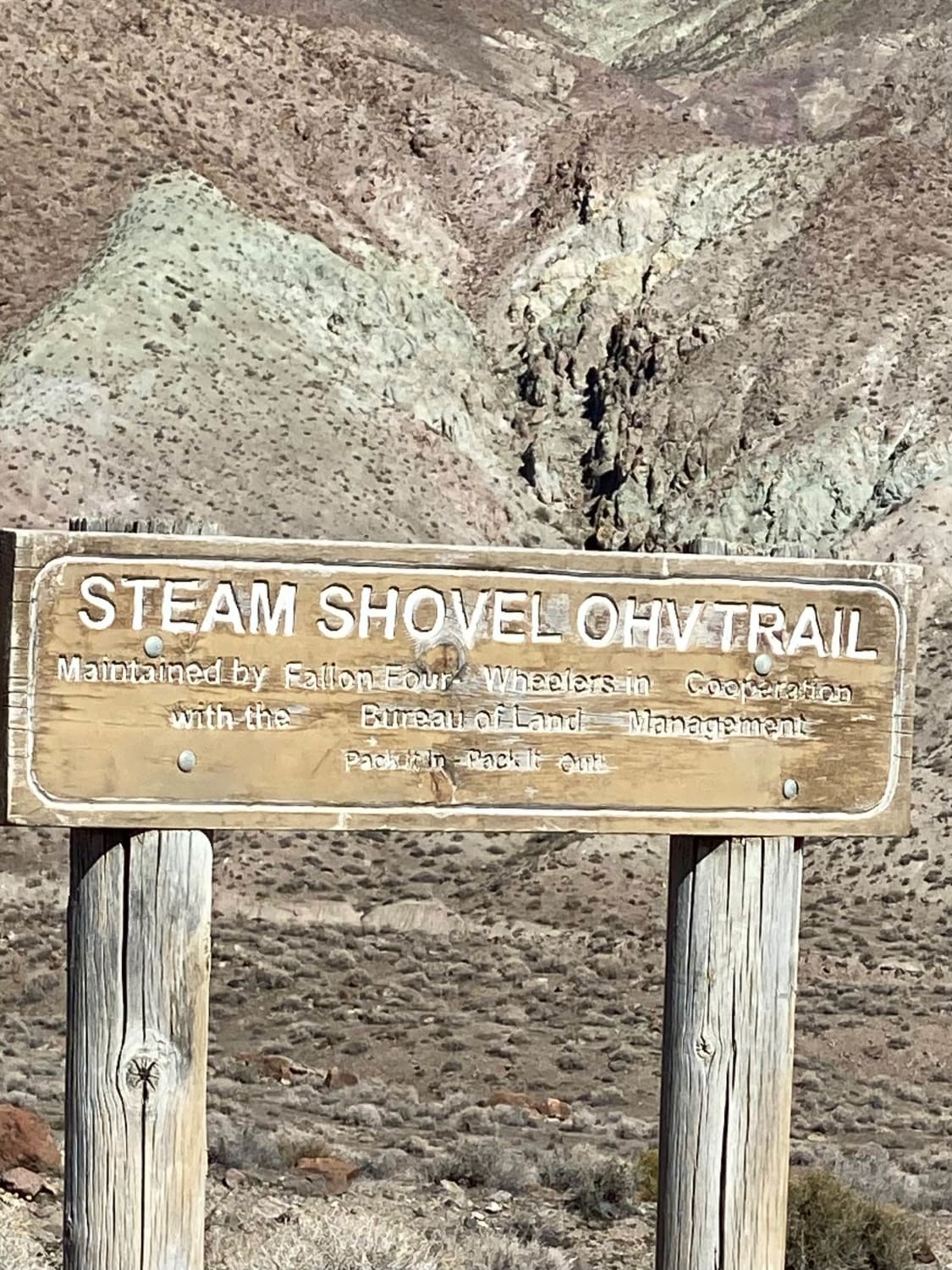
West Steam Shovel OHV Trail

Wildhorse Track
Garden Spring Loop
The onX Offroad Difference
onX Offroad combines trail photos, descriptions, difficulty ratings, width restrictions, seasonality, and more in a user-friendly interface. Available on all devices, with offline access and full compatibility with CarPlay and Android Auto. Discover what you’re missing today!