Devil's Cove Road
Total Miles
14.1
Technical Rating
Best Time
Spring, Summer, Fall, Winter
Trail Type
Full-Width Road
Accessible By
Trail Overview
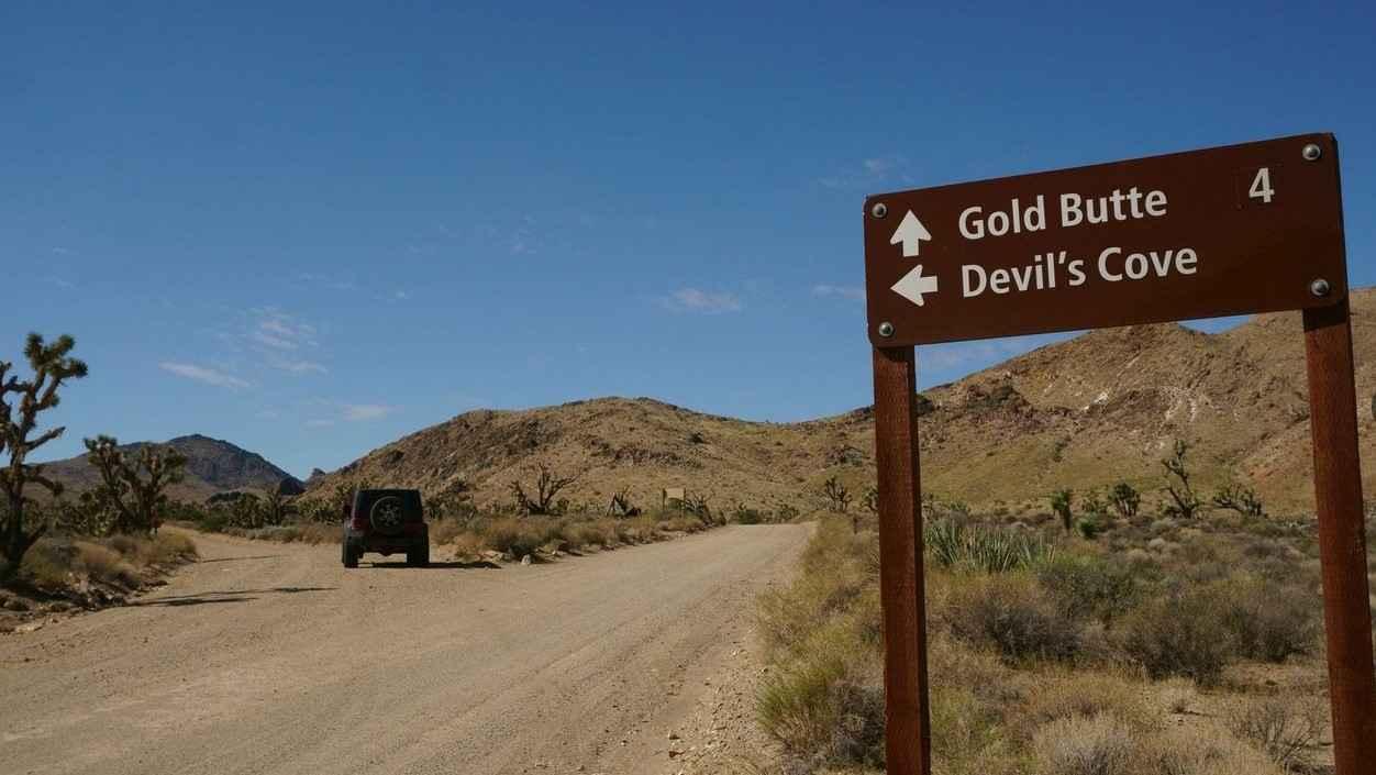
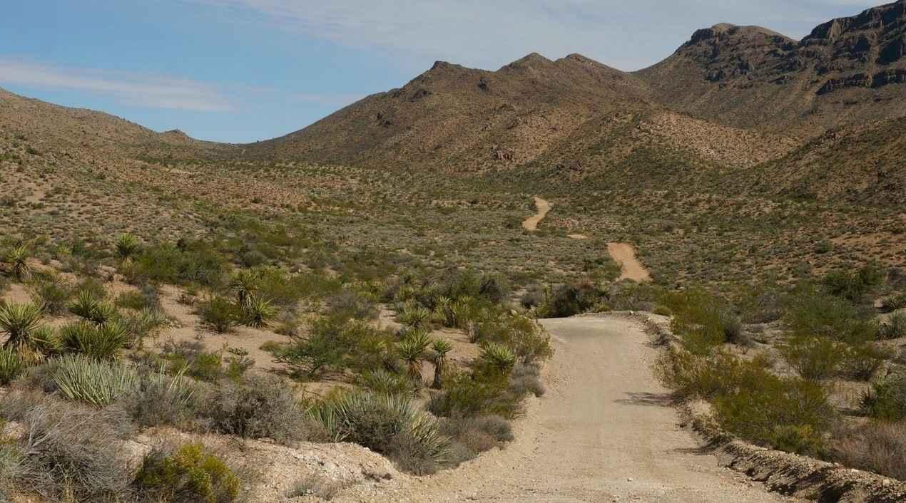
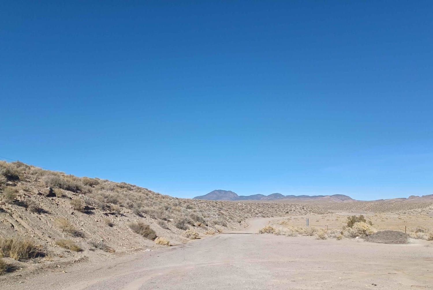
Devil's Cove Road travels through Gold Butte National Monument, and is a 28-mile round trip out and back track rated 3 out of 10. The trail starts off the Gold Butte Backcountry Byway and ends in the now-dry Devil's Cove which is part of Lake Mead. The desert road runs through washes, up ridges, and eventually drops down into the cove. During the spring travelers may be able to enjoy the California Poppies in bloom and observe the herd of wild burros that live in the vicinity of the cove. A short hike through up the ridge or around the edge of the vegetation will bring travelers views of the Colorado River. This is a very remote area with no services of any kind including cell service. The nearest facilities are in Mesquite/Bunkerville some 40 miles away. Gold Butte Byway is considered accessible by 2-wheel drive vehicles, however, the BLM recommends 4x4s on the road to the cove.
Photos of Devil's Cove Road
Difficulty
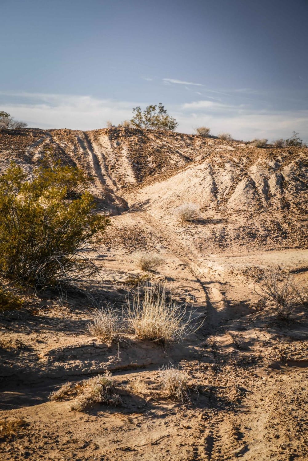
Trail consisting of loose rocks, dirt, and sand with some slick rock surfaces, mud holes possible, no steps higher than 12". 4WD is required, and aggressive tires are a plus.
Status Reports
Devil's Cove Road can be accessed by the following ride types:
- High-Clearance 4x4
- SUV
- SxS (60")
- ATV (50")
- Dirt Bike
Devil's Cove Road Map
Popular Trails

Shock Test Alley
Logandale Main Loop 01
Weepah Springs Road
The onX Offroad Difference
onX Offroad combines trail photos, descriptions, difficulty ratings, width restrictions, seasonality, and more in a user-friendly interface. Available on all devices, with offline access and full compatibility with CarPlay and Android Auto. Discover what you’re missing today!
