Fish Lake Playa
Total Miles
6.7
Technical Rating
Best Time
Summer
Trail Type
Full-Width Road
Accessible By
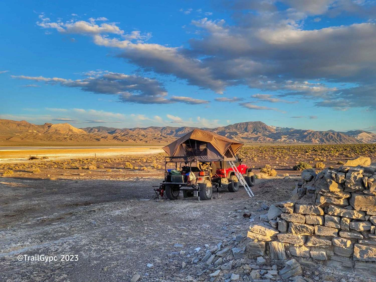
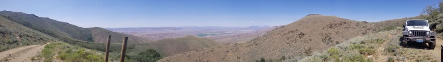
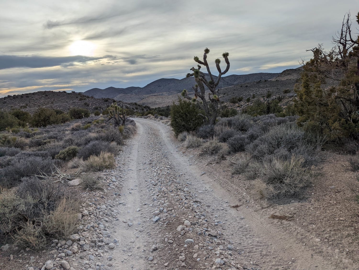
Trail Overview
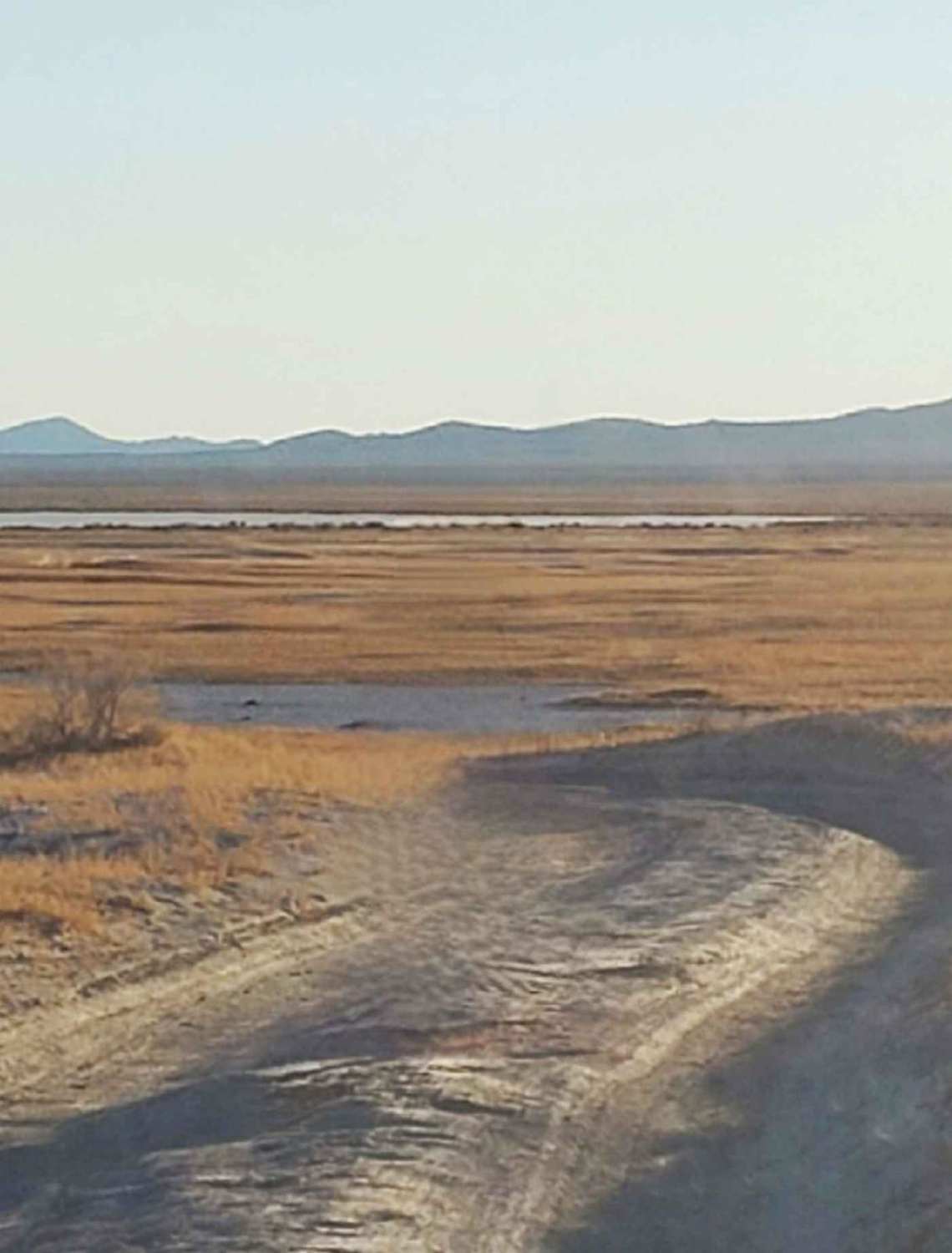
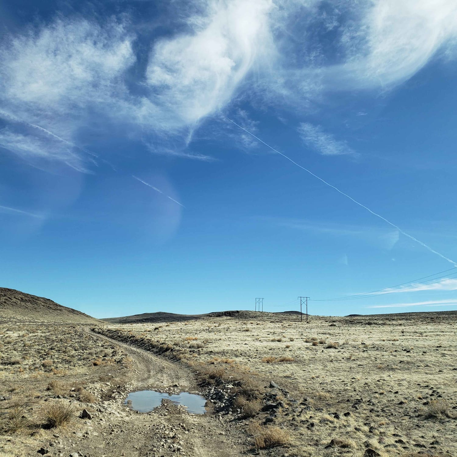
This is an old borax harvesting route on the west side of the Fish Lake Playa outside of the town of Dyer, Nevada. This trail offers a fairly easy way around the playa and a side trip to see the borax workings and adobe remains. The route can become sandy in spots, as well as a hard mineral-based ground, but a mining operation also runs their big rigs down this road, so if they can do it, you can do it. It can get some wet soft spots in it when the thunderstorms come through there, so 4WD is recommended. Vehicles should have some decent ground clearance. 2WD vehicle at your own discretion. All OHV use out here is legal. Carry recovery gear and supplies around this valley, you never know when you may need it. This is the desert, so the topography changes anywhere you go.
Photos of Fish Lake Playa
Difficulty
This is a fairly easy 7 mile trail with hard mineral ground and some sandy spots in the beginning route. The trail can get wash-boarded in spots. It is recommended to have a 4WD, you never know when you'll need it out in this valley. A mining company uses this route as a cutoff to the main road, Fish Lake Valley Road, so use caution and give big rigs the right away.
History
With the White Mountains to the west and the Silver Peak range to the east, ranchers in the 1880s, drilled for oil and discovered hot mineral waters from below. They utilized the area, as you can see to this day, to grow hay and some small vegetable crops. Along this playa lies remains of a borax works. You can see the borax and salt pond remains on the southern end of the playa. There are some adobe remains of buildings and an open metal-sleeved well. You can check out more of the Fish Lake Valley and borax commodity here at the link below. There are also very helpful traveling goodies to check out in the Fish Lake Valley/Dyer area on this webpage. https://travelnevada.com/cities/dyer/
Status Reports

Popular Trails
Clifton Flat Trail
Snow Spring Road
Pine forest range ridge
Johnswort Road
The onX Offroad Difference
onX Offroad combines trail photos, descriptions, difficulty ratings, width restrictions, seasonality, and more in a user-friendly interface. Available on all devices, with offline access and full compatibility with CarPlay and Android Auto. Discover what you’re missing today!