Matterhorn Trail
Total Miles
1.4
Technical Rating
Best Time
Spring, Summer, Fall, Winter
Trail Type
High-Clearance 4x4 Trail
Accessible By
Trail Overview
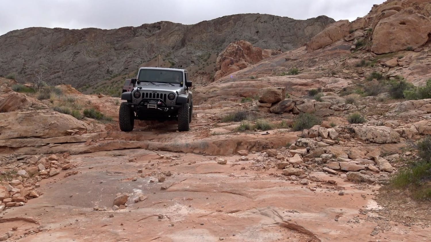
Matterhorn is a fun but short trail in the Logandale Trail System. It is most often run north to south as part of the Weiser Valley Trail, but can be run either way. It is named because of a small jagged peak that is next to the trail that somewhat resembles the The Matterhorn peak in Switzerland. The trail has a few fun obstacles that are slightly challenging, but not really enough to cause any carnage.
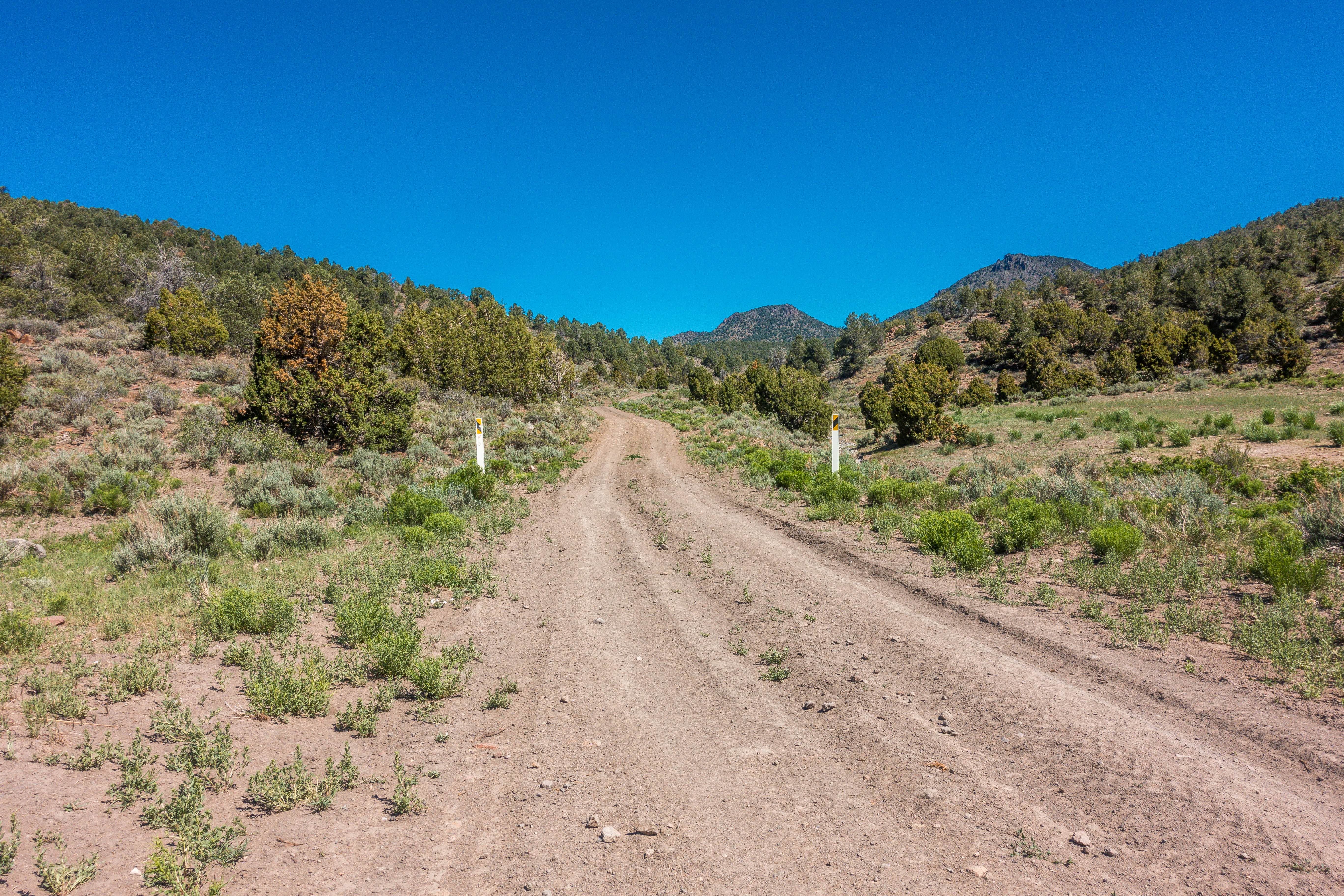
Photos of Matterhorn Trail

Difficulty
There are several rock ledges to negotiate, slick rock climbs and descents of 3-4 feet. There is also an optional slick rock chute to climb near end of trail with possible vehicle damage
Status Reports

Popular Trails
White River to Hamilton
Hemlock Road
Peavine Prospector Run

Rattlesnake Canyon
The onX Offroad Difference
onX Offroad combines trail photos, descriptions, difficulty ratings, width restrictions, seasonality, and more in a user-friendly interface. Available on all devices, with offline access and full compatibility with CarPlay and Android Auto. Discover what you’re missing today!