Mead Davis Power Road
Total Miles
38.7
Technical Rating
Best Time
Spring, Summer, Fall, Winter
Trail Type
Full-Width Road
Accessible By
Trail Overview
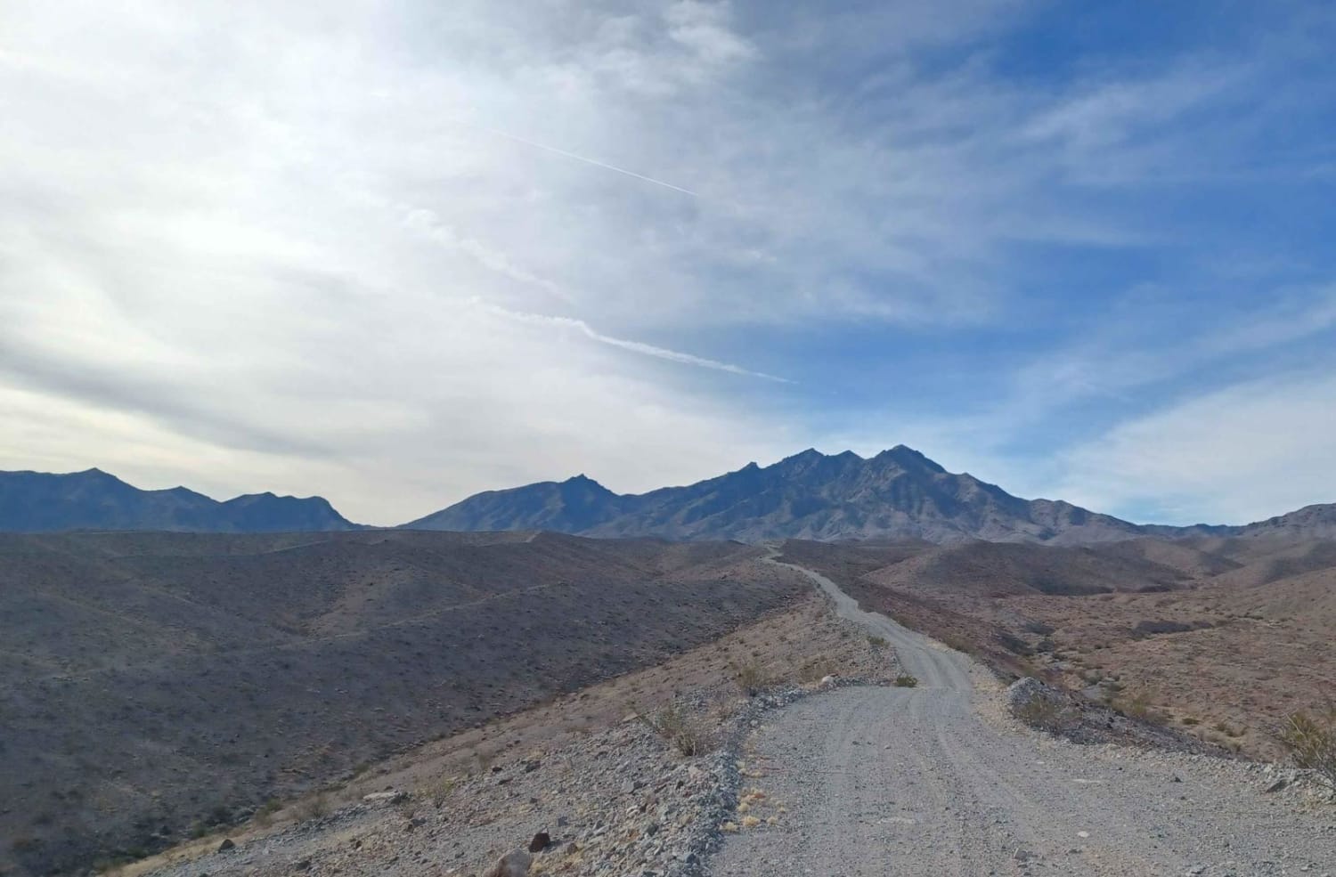
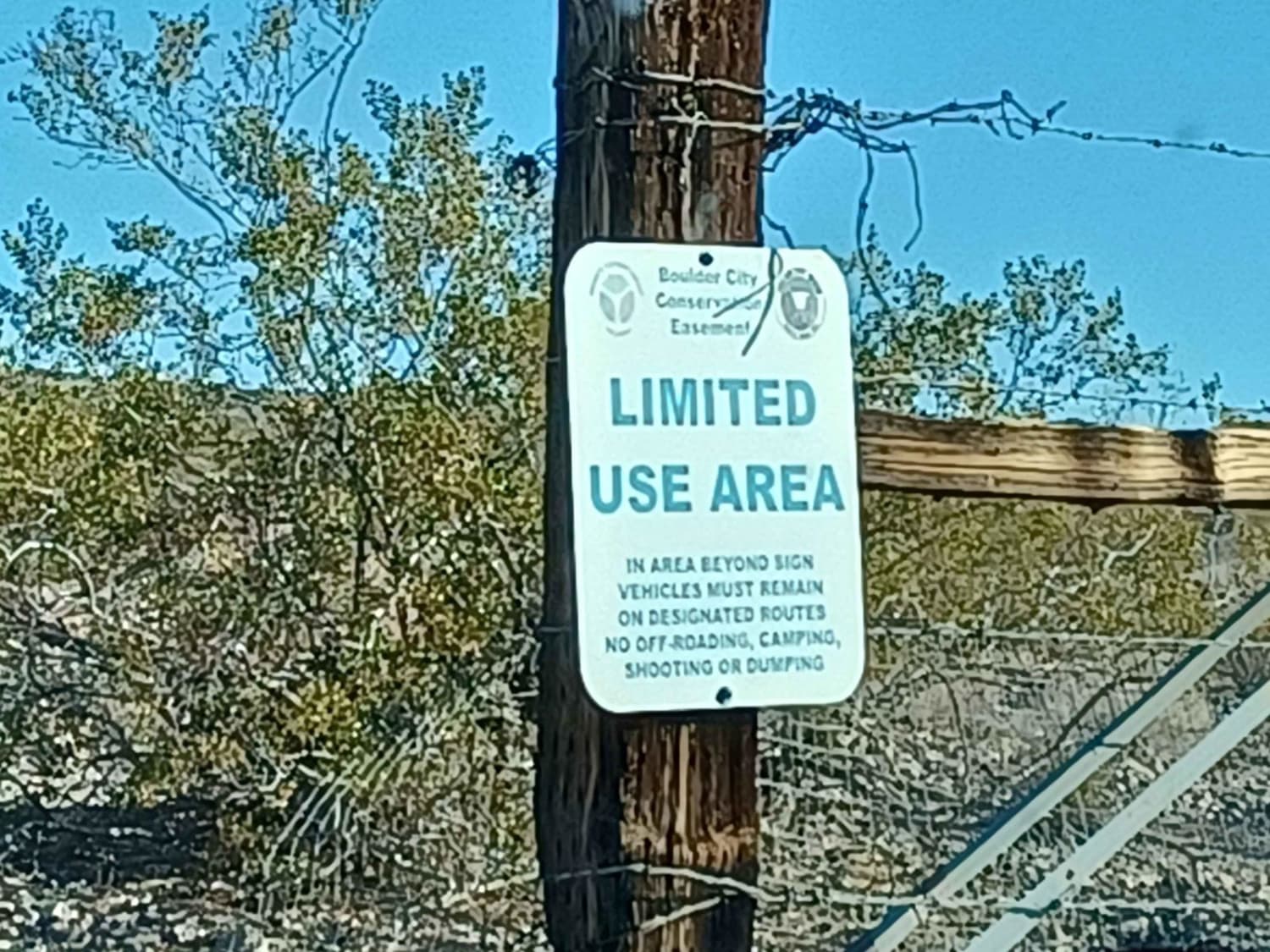
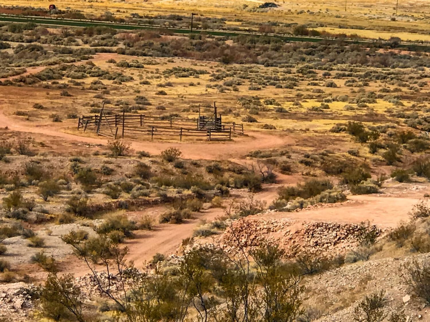
Mead Davis Power Road is a rocky, dusty, sandy, rutted, washed-out road. Some sections require a short wheelbase high clearance vehicle, otherwise, its an easy road 4x4 is highly recommended. There is a chance for water crossings when in the rainy seasons and flash floods. The road runs through both Lake Mead National Recreation Area and the Bureau of Land Management Government Lands. This area is a limited-use area, and camping is only allowed in approved areas, offroad use is not allowed unless on a designated route. The road ends at a sign which says road closed, there is no water access, please turn around do not proceed past the sign.
Photos of Mead Davis Power Road
Difficulty
Loose rock, some sections have technical obstacles that require high clearance 4x4. Loose sand in sections, the possibility for water crossing and mud. Advised not to do this road in bad weather, as you can find yourself in a flash flood.
Status Reports
Mead Davis Power Road can be accessed by the following ride types:
- High-Clearance 4x4
- SUV
- SxS (60")
- Dirt Bike
Mead Davis Power Road Map
Popular Trails
Purple Pancakes Fly at Midnight

Echo Wash to Lake Mead
Desert Creek Loop
White Star mines
The onX Offroad Difference
onX Offroad combines trail photos, descriptions, difficulty ratings, width restrictions, seasonality, and more in a user-friendly interface. Available on all devices, with offline access and full compatibility with CarPlay and Android Auto. Discover what you’re missing today!
