Mixer
Total Miles
16.6
Technical Rating
Best Time
Spring, Summer, Fall, Winter
Trail Type
Single Track
Accessible By
Trail Overview
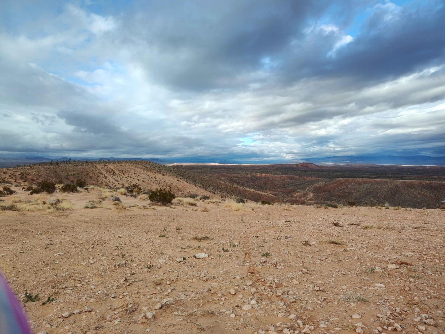
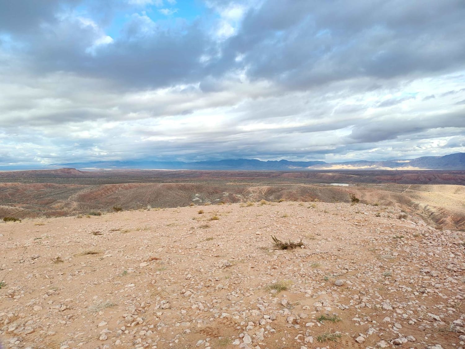
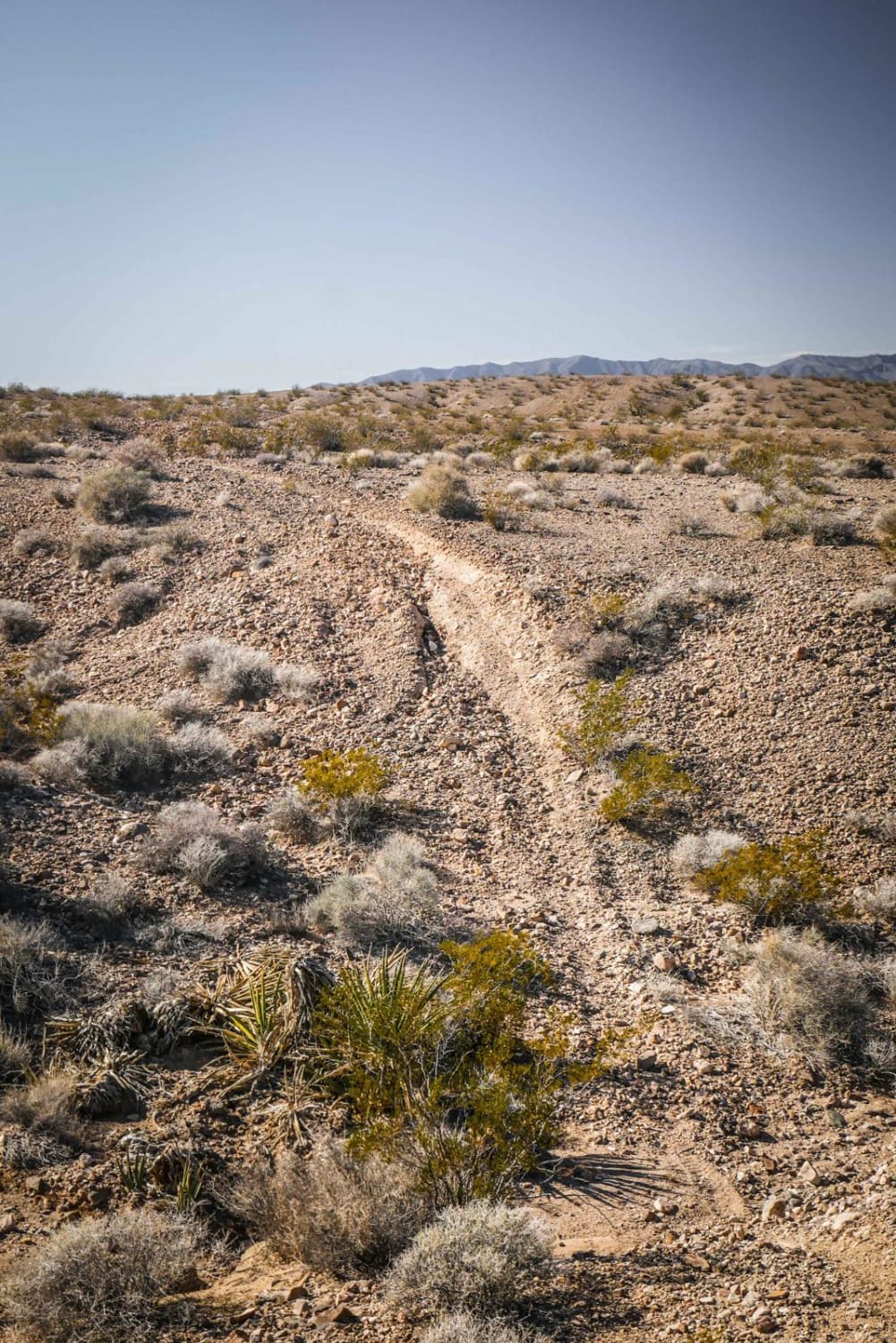
This route features varied terrain, hill climbs, rocks, gravel and sand. This trail covers a good portion of the area and includes a mix of nearly paved quality gravel roads, two-track Jeep/SxS and single track. Initially it's mostly easy gravel, then single track, then cross country wash riding, and then sand/rock two-track. It's best ridden on moto.
Photos of Mixer
Difficulty
This is mostly easy with some moderate hills and descents. Even the single track is flowy and not that difficult.
Status Reports
Mixer can be accessed by the following ride types:
- Dirt Bike
Mixer Map
Popular Trails

Stevens's Camp Back Door
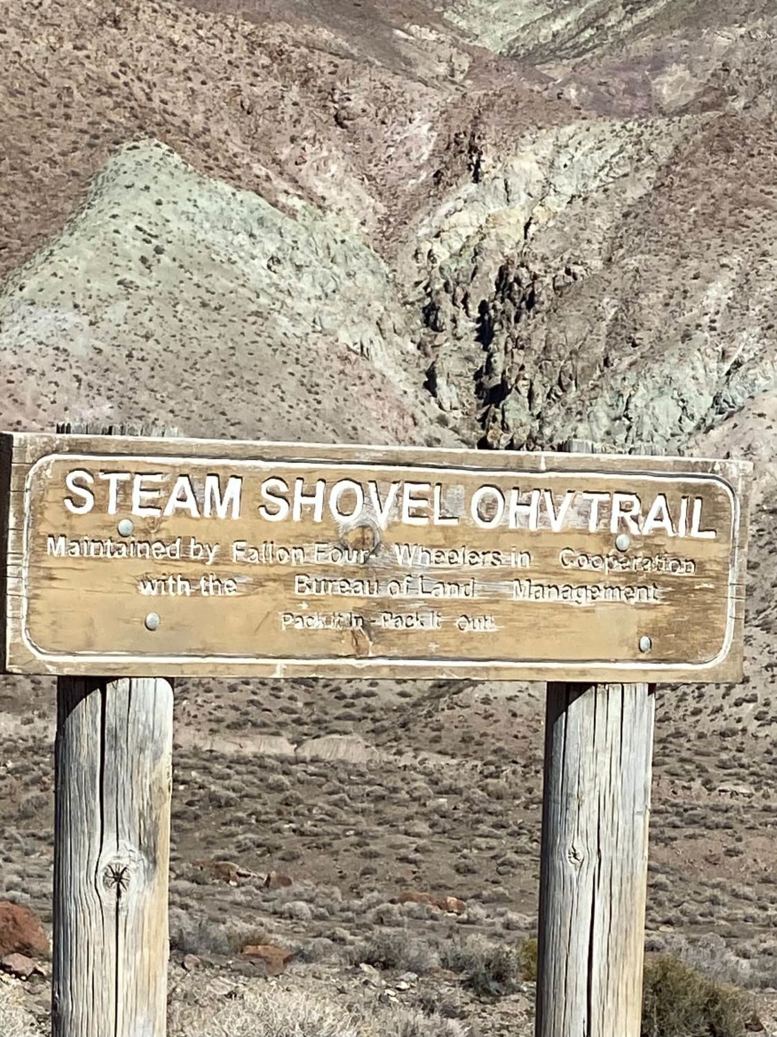
West Steam Shovel OHV Trail

Bunkerville Choo Choo
The onX Offroad Difference
onX Offroad combines trail photos, descriptions, difficulty ratings, width restrictions, seasonality, and more in a user-friendly interface. Available on all devices, with offline access and full compatibility with CarPlay and Android Auto. Discover what you’re missing today!
