Mormon Mesa
Total Miles
6.5
Technical Rating
Best Time
Spring, Fall, Winter
Trail Type
Full-Width Road
Accessible By
Trail Overview
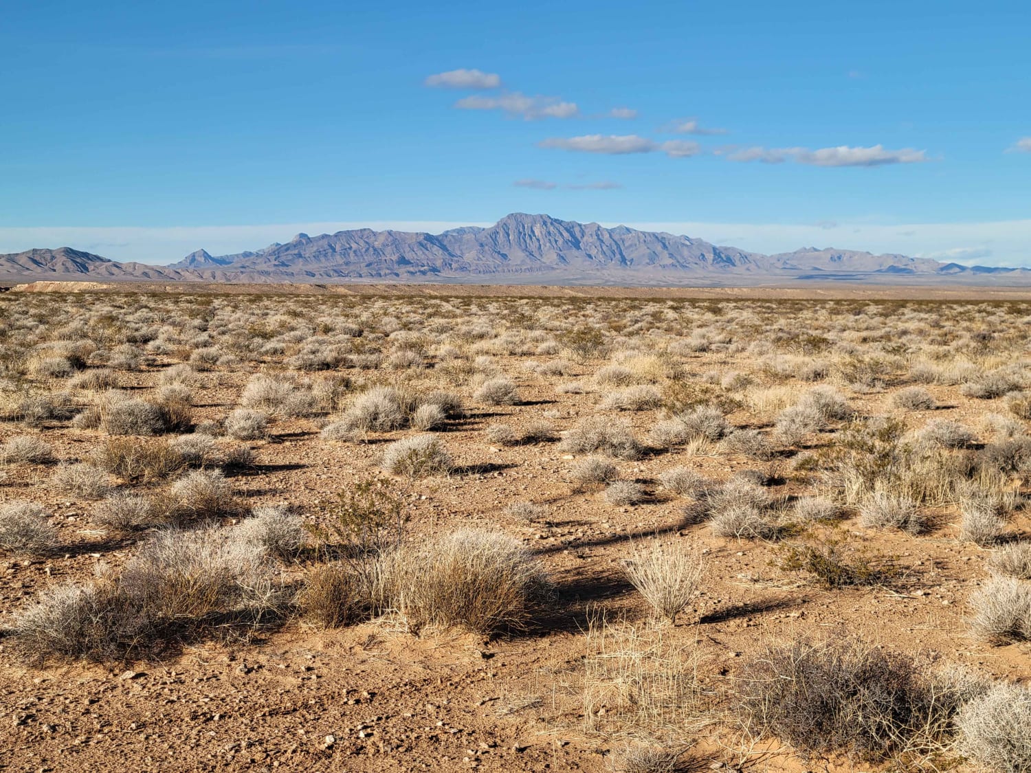
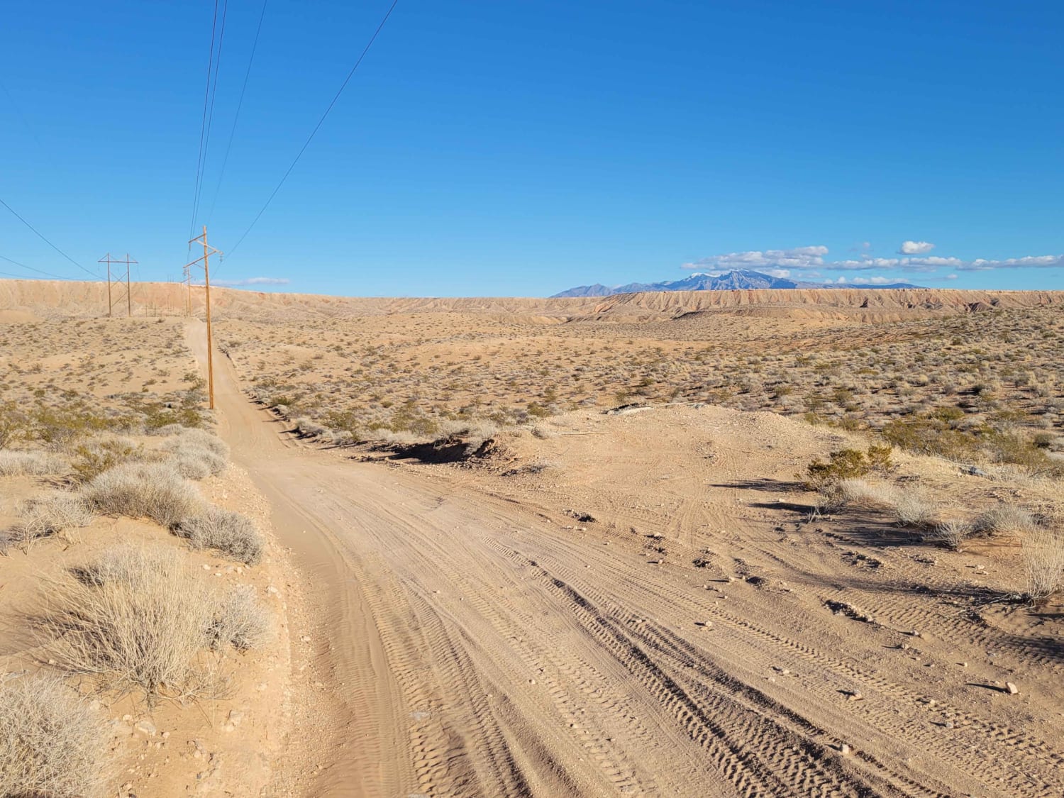
Just Northeast of Moapa Valley, this trail follows right along the power lines and leads you up/down the plateau and across the Mormon Mesa. The section that goes up (or down) the plateau is a bit steep but short. The trail is pretty rocky and bumpy on top of the mesa. Expansive desert views in all directions. Summer temperatures can reach triple digits, so plan accordingly with plenty of water.
Photos of Mormon Mesa
Difficulty
The section that goes up (or down) the plateau is a bit steep, but short. The trail is pretty rocky and bumpy on top of the mesa.
Status Reports
Mormon Mesa can be accessed by the following ride types:
- High-Clearance 4x4
- SUV
- SxS (60")
- ATV (50")
- Dirt Bike
Mormon Mesa Map
Popular Trails
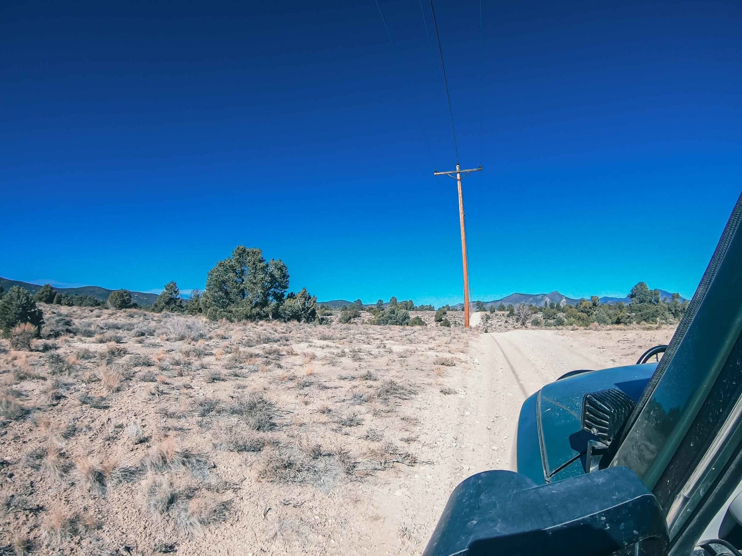
Powerline Road
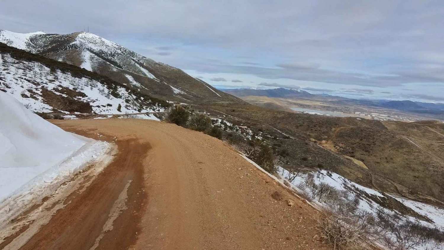
Golden Fleece Mine Road
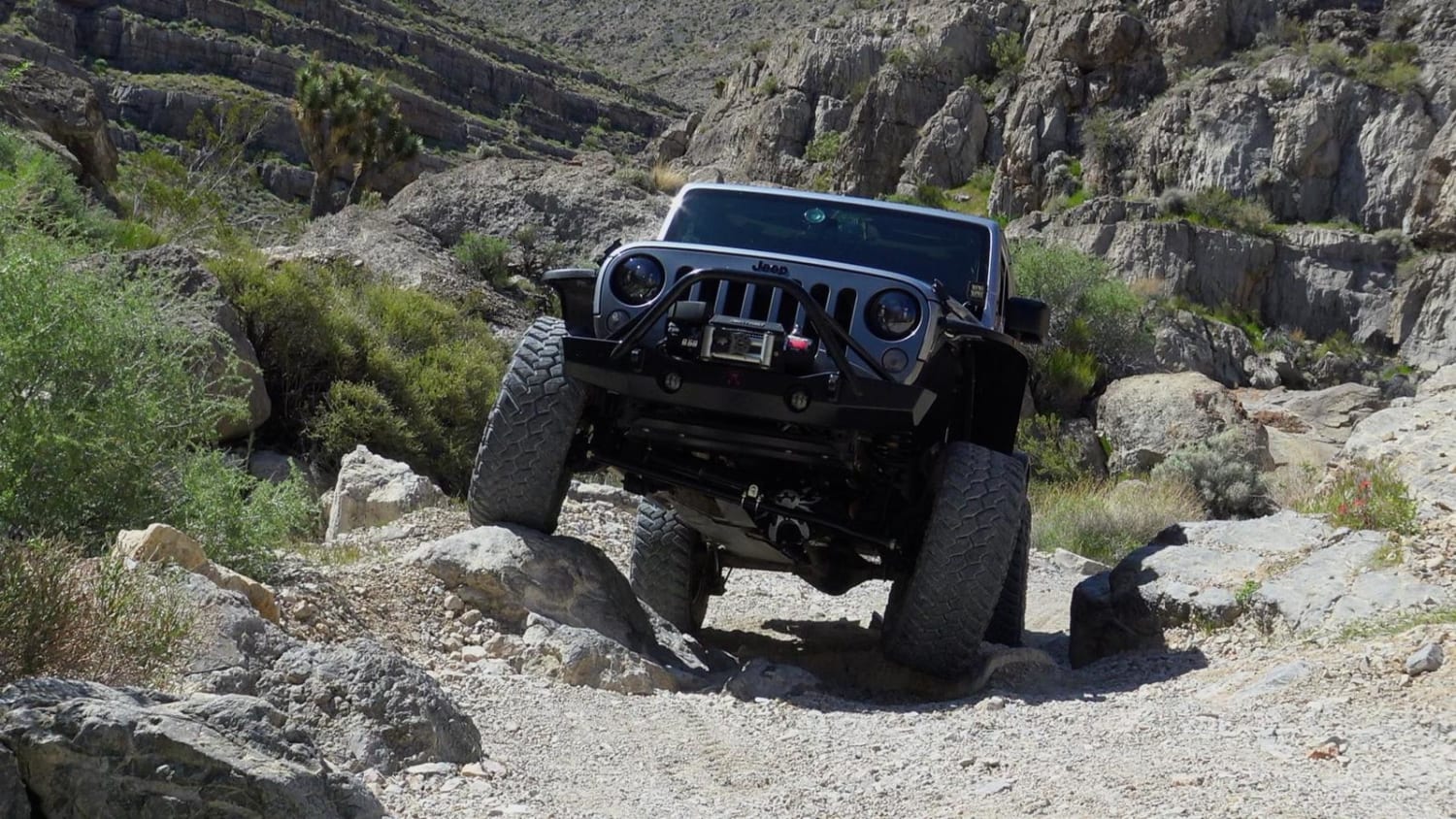
Little Devil Peak
The onX Offroad Difference
onX Offroad combines trail photos, descriptions, difficulty ratings, width restrictions, seasonality, and more in a user-friendly interface. Available on all devices, with offline access and full compatibility with CarPlay and Android Auto. Discover what you’re missing today!
