Pole Line Road
Total Miles
6.9
Elevation
961.58 ft
Duration
--
Technical Rating
Best Time
Winter, Fall, Spring
Trail Overview
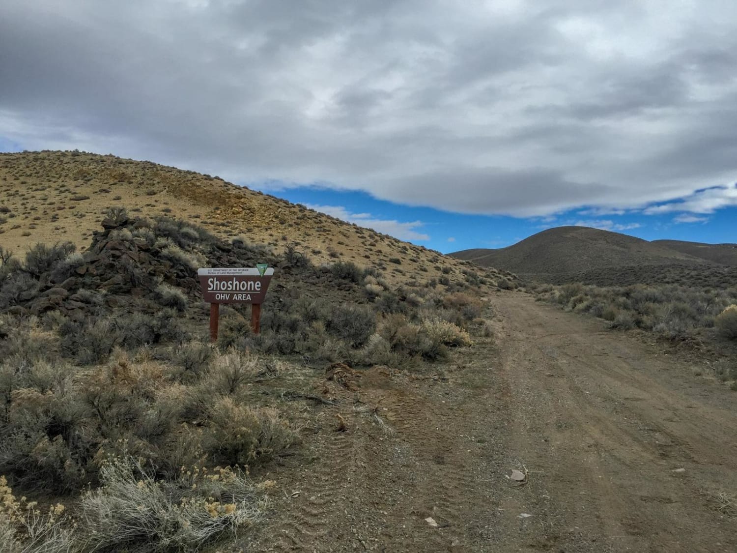
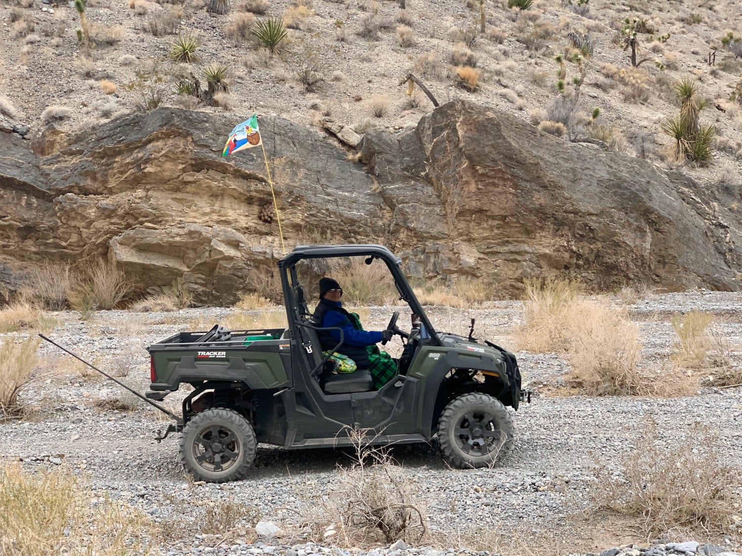
This trail is the main Pole line heading south out of town from Beatty and its more local dirt trails. This road takes you along the power lines and down toward two interesting abandoned mining complex trails. At one point, the trail is very tricky as it passes asphalt. You will want to follow their track alongside the private property, but please be aware dogs are out and about and watch your speed to be respectful of dust. Once past there, you share the main trail with burro tracks that cross in and out of the trail. The trail is mostly two-track with some sandy sections, silty sections, and many sharp rocks. Be aware that if you are gaming, there are a few twists and turns with bermed corners and some serious kickers that could sneak up on you. It's the desert, so pack accordingly, bring lots of water, watch for rattlesnakes and be aware of sharp rocks that may puncture your tires. The town of Beatty is nearby for fuel, groceries, and restaurants. 2 bars LTE Verizon in and out.
Photos of Pole Line Road
Difficulty
Mostly hard pack dirt with the occasional sandy wash crossing and silt bed
Status Reports
Popular Trails

Shoshone ATV Trail

Adams McGill Reservoir Loop Part 2

Middle Silver State Trail to OHV Marker

Lower Wheeler Wash
The onX Offroad Difference
onX Offroad combines trail photos, descriptions, difficulty ratings, width restrictions, seasonality, and more in a user-friendly interface. Available on all devices, with offline access and full compatibility with CarPlay and Android Auto. Discover what you’re missing today!

