Powerline Trail
Total Miles
5.6
Technical Rating
Best Time
Spring, Fall
Trail Type
Full-Width Road
Accessible By
Trail Overview
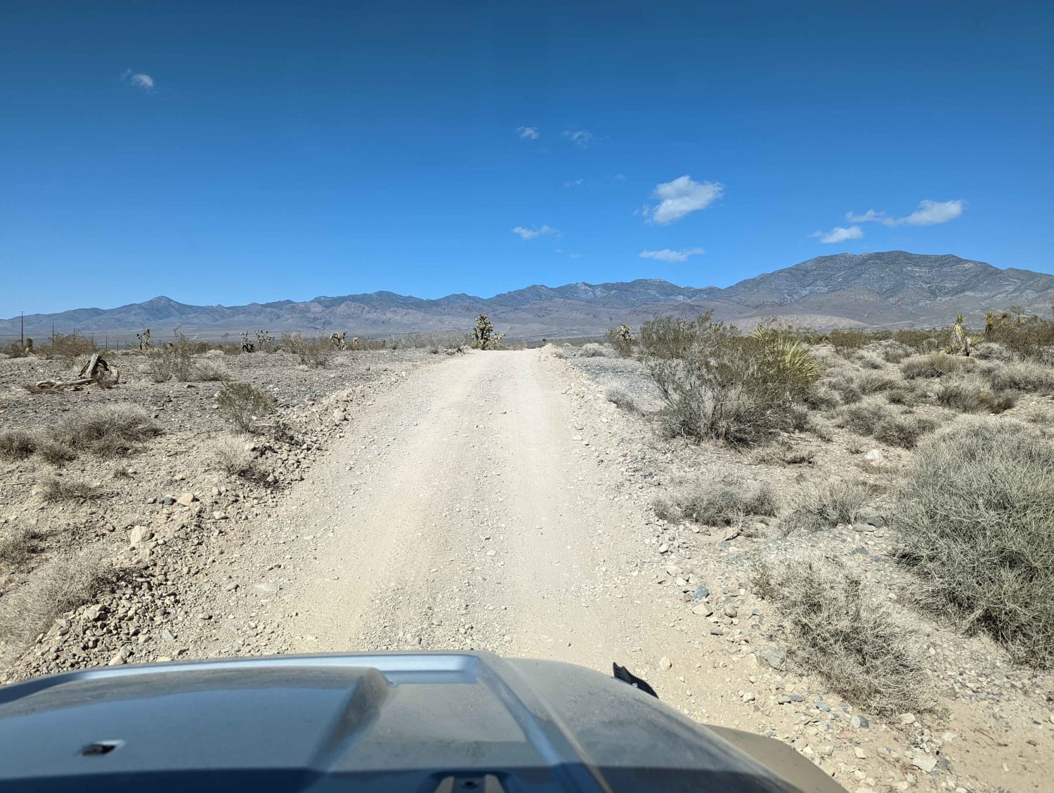
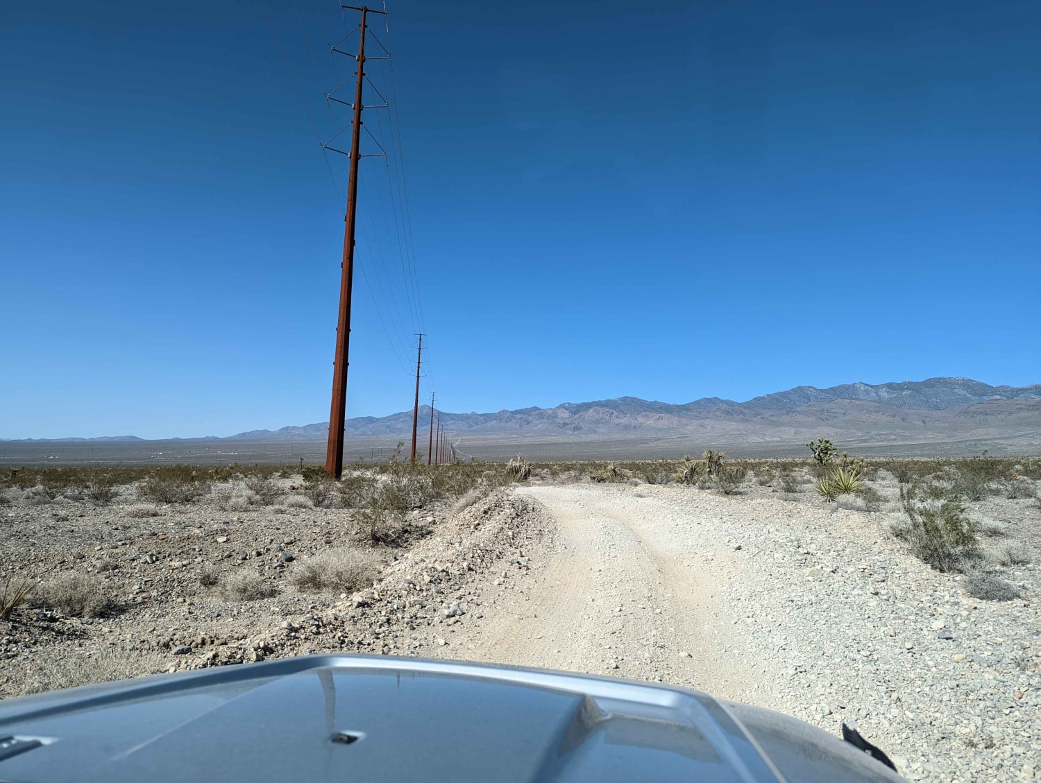
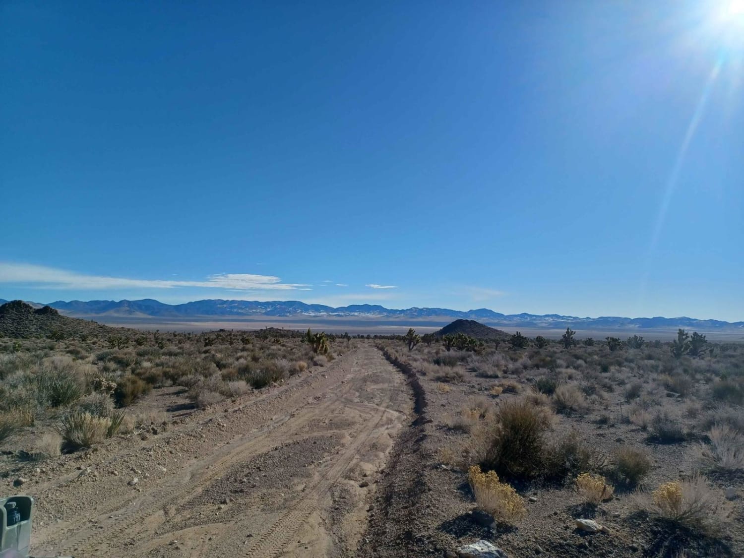
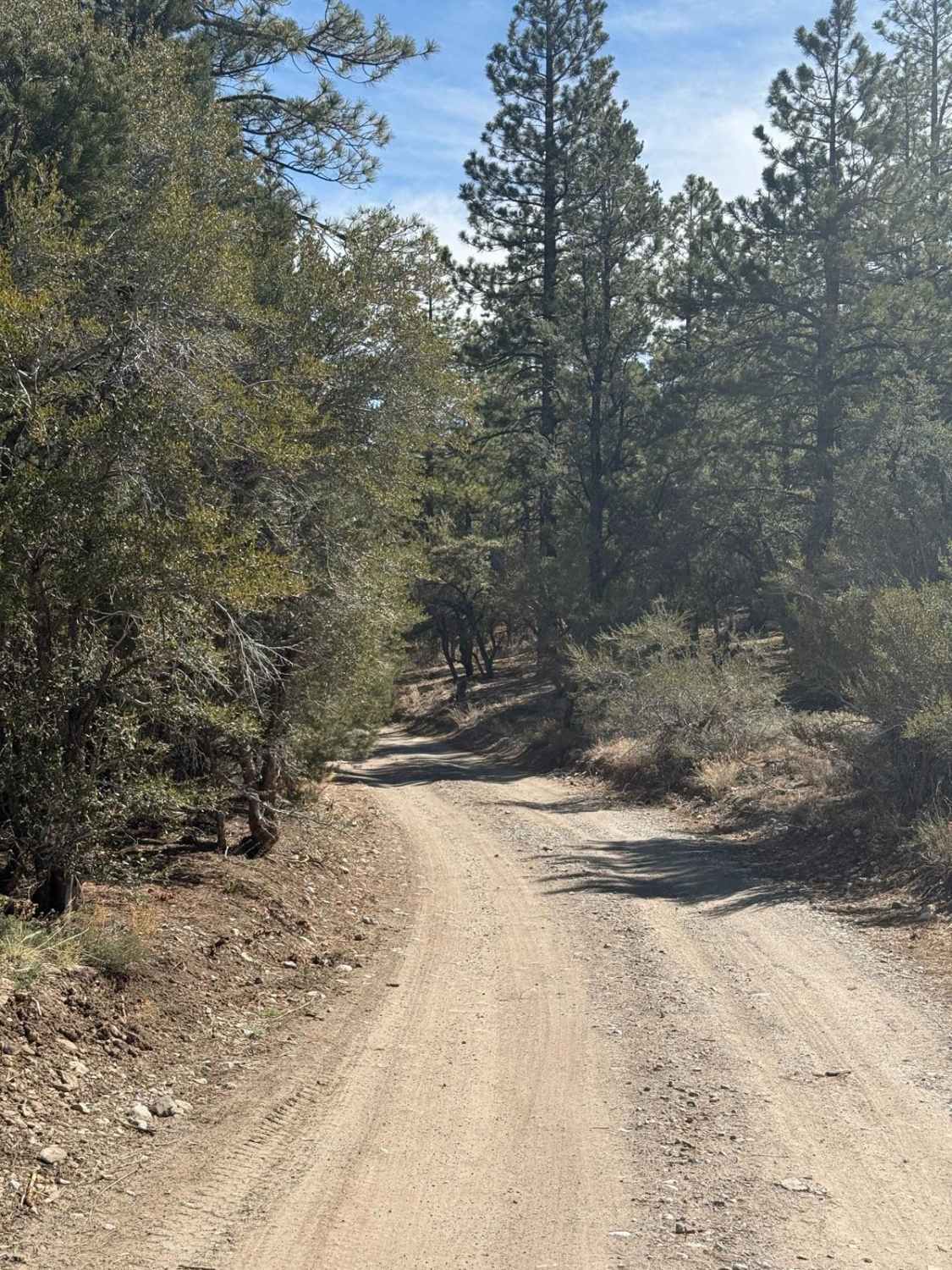
This trail continues from Higley Trail in Pahrump farther up into the mountains. We saw several homeless campers with dilapidated RVs and trash everywhere nearby these camps (sad!). There are also lots of weekenders boondocking on BLM land, enjoying responsibly. The trail is narrower than its starting point in town on Higley Road, and there are some sections of the trail where two Jeeps would be tight but doable. There were a few mini-descents into washes that were marginally slower than the other sections of the trail. The trail had a few sections where you could take an easier trail that appeared to be maintained or a slightly slower, bumpier trail. We appreciated the slower trail so we could check out the scenery. The trail is easy and can be traversed by 2wd vehicles under normal weather conditions. The trail runs through several deep washes, and I suspect when it rains, the washes flood. This trail leads to various trails in the area up the mountain, back to town, and across the foothills. The views are pretty spectacular out here, sans the trash. Please bring a trash bag please and take some of it with you!!
Photos of Powerline Trail
Difficulty
There are a few deeper washes though we traversed this trail in 2wd. I consider this trail to be easy.
Status Reports
Powerline Trail can be accessed by the following ride types:
- High-Clearance 4x4
- SUV
- SxS (60")
- ATV (50")
- Dirt Bike
Powerline Trail Map
Popular Trails
A Mine Runs Through It
Champion Road
Carp Road-Lyman Crossing to Elgin
The onX Offroad Difference
onX Offroad combines trail photos, descriptions, difficulty ratings, width restrictions, seasonality, and more in a user-friendly interface. Available on all devices, with offline access and full compatibility with CarPlay and Android Auto. Discover what you’re missing today!
