Ridge Connector
Total Miles
2.8
Elevation
937.09 ft
Duration
0.5 Hours
Technical Rating
Best Time
Winter
Trail Overview
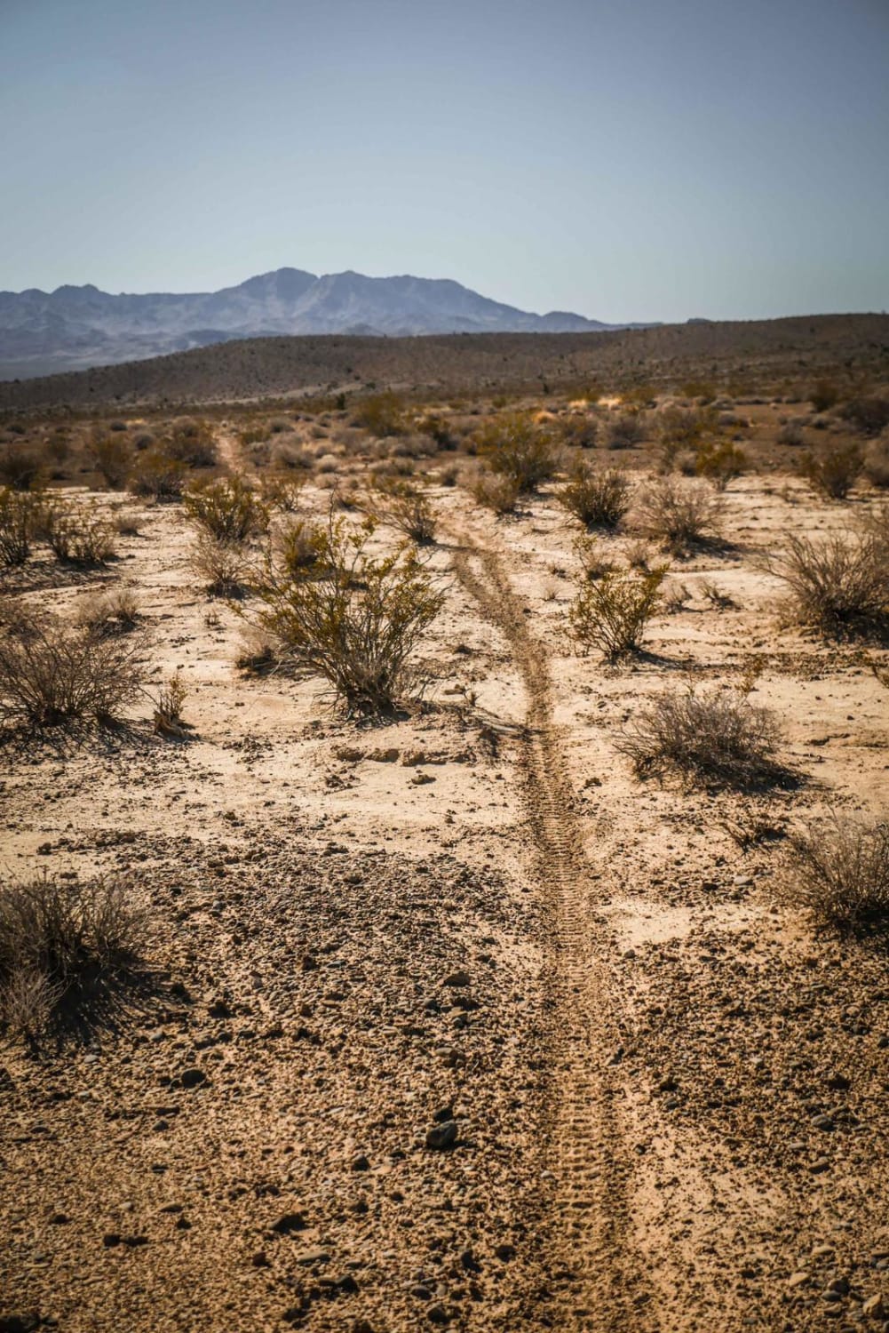
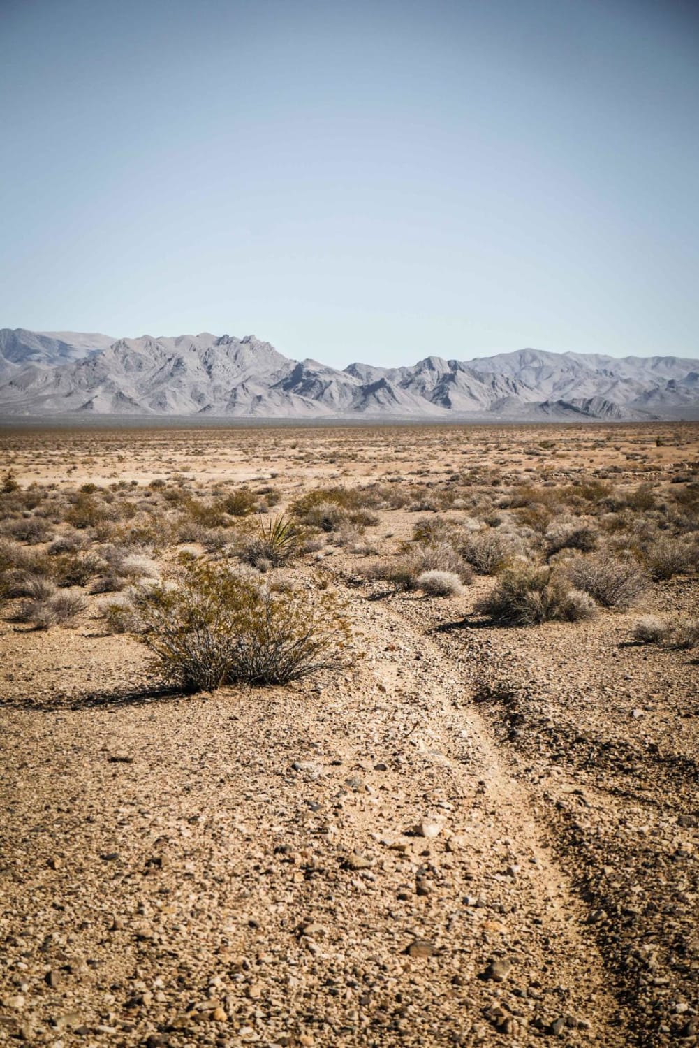
This is a short connector trail used to connect the Ridge Trail to the Pants Loop. Although only 3 miles long, it runs through a variety of terrain, including a mix of soft dirt, sandier dirt, and hard-packed dirt with loose rock. It dips in and out of rocky ravines and washes and also runs elevated above a wash. The trail is easy because it's mostly fast and flowy, smooth, and with no significant obstacles. The northeast end of the trail is marked with a cairn at the intersection with the Pants Connector Trail
Photos of Ridge Connector
Difficulty
This is a consistently easy trail with no notable obstacles.
History
A portion of the Old Spanish Trail runs through this area, a historic transportation route from the 1800s.
Status Reports
Popular Trails
Crystal Springs Road
Moapa to Caliente Via Barclay
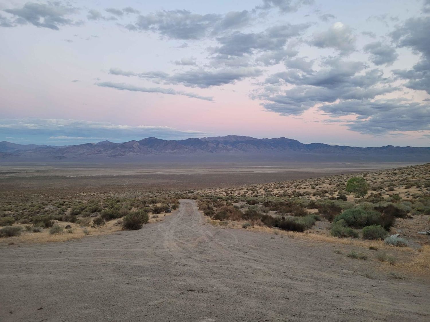
Boyer Ranch
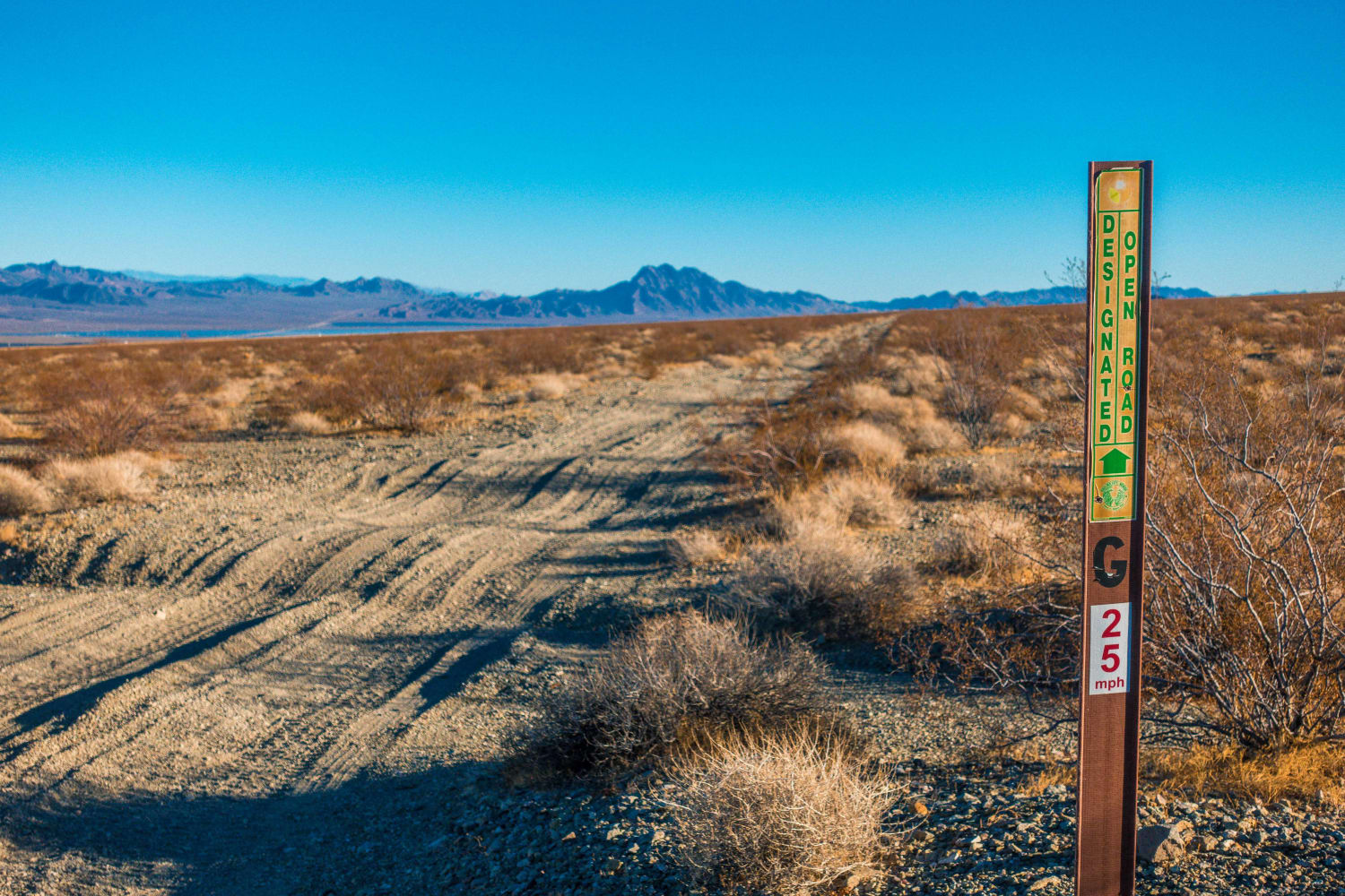
Keyhole Canyon
The onX Offroad Difference
onX Offroad combines trail photos, descriptions, difficulty ratings, width restrictions, seasonality, and more in a user-friendly interface. Available on all devices, with offline access and full compatibility with CarPlay and Android Auto. Discover what you’re missing today!
