St. Thomas Gap Road-Mohave County Highway 113
Total Miles
6.7
Technical Rating
Best Time
Spring, Summer, Fall
Trail Type
Full-Width Road
Accessible By
Trail Overview
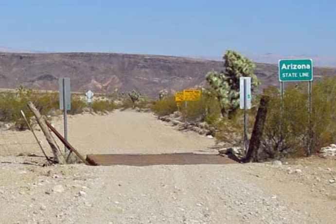
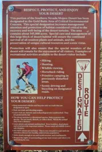
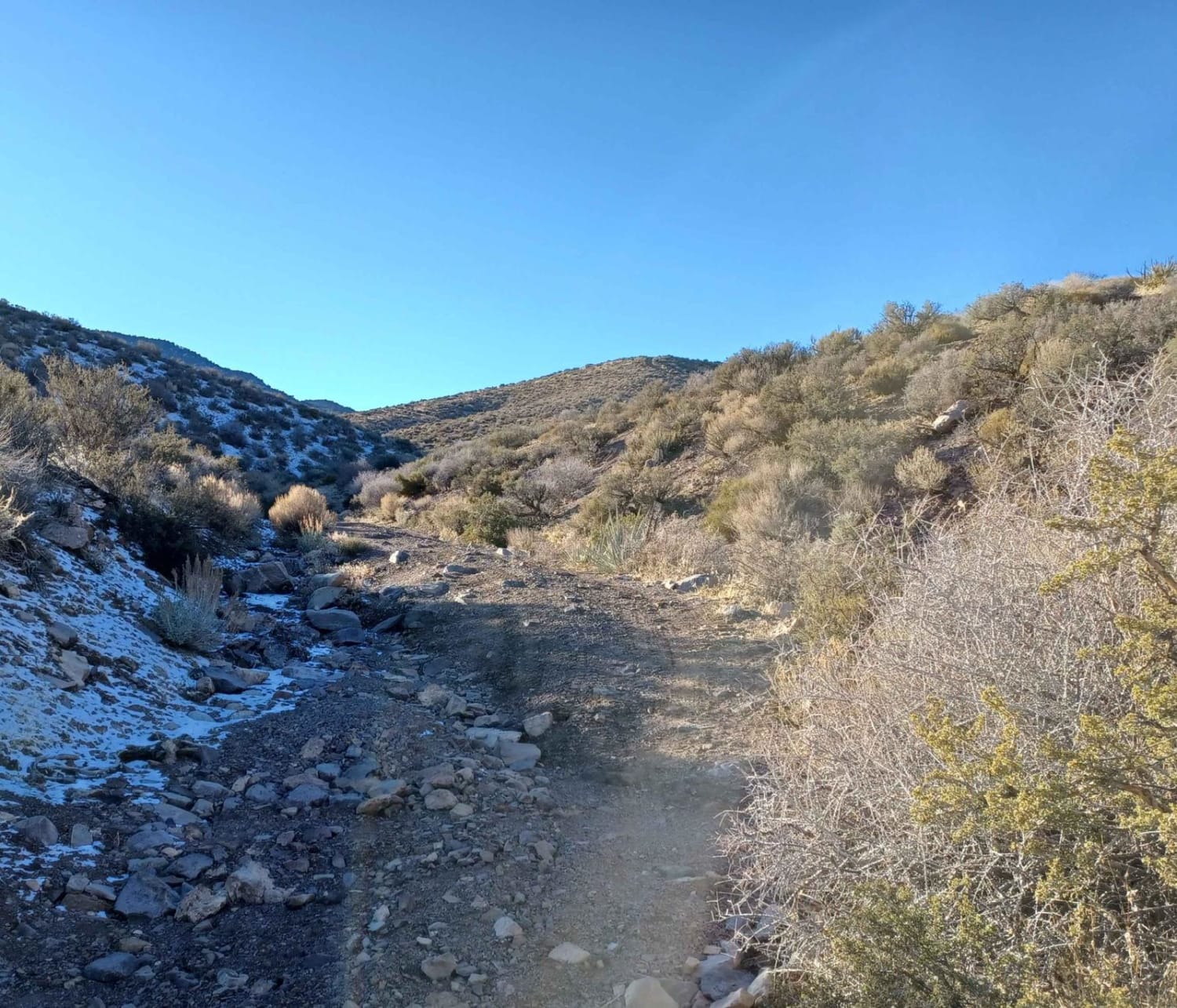
St Thomas Gap Road-Mohave County Highway 113 is a 6.7-mile double-track road that is rated 2 of 10. St. Thomas Gap Road is a graded dirt road that runs northwest-southeast between Gold Butte Road in the west and Pakoon Road in the east, which is over in Arizona in Grand Canyon-Parashant National Monument. St. Thomas Gap Road (also called Grand Wash Road) follows the trace of the historic Grand Gulch Trail that was built in the late 1800s for hauling wagon loads of copper ore between the Grand Gulch Mine in Arizona and the town of St. Thomas on the Virgin River in Nevada, which was the end of the railroad at that time. The road runs across open desert flats and down a sandy canyon, making the east end of the road questionable for 2WD vehicles after storms. This road provides access to a couple of campsites but otherwise no particular destinations, except that it connects with roads leading deep into the Arizona Strip on the north side of the Grand Canyon. There is no water, gas, food, lodging, Wi-Fi, or cell service. Visitors should be advised that towing charges in the event of vehicles becoming stuck or damaged are in the region of $3,000. Areas above 5000 feet may not be accessible in winter months due to mud and snow.
Photos of St. Thomas Gap Road-Mohave County Highway 113
Difficulty
This is a county dirt road with infrequent or light maintenance after rain or snow. High-clearance, light-duty 4WD may be required.
Status Reports
Popular Trails
Little Boulder
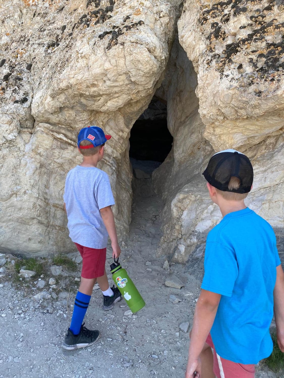
Lovelock Cave
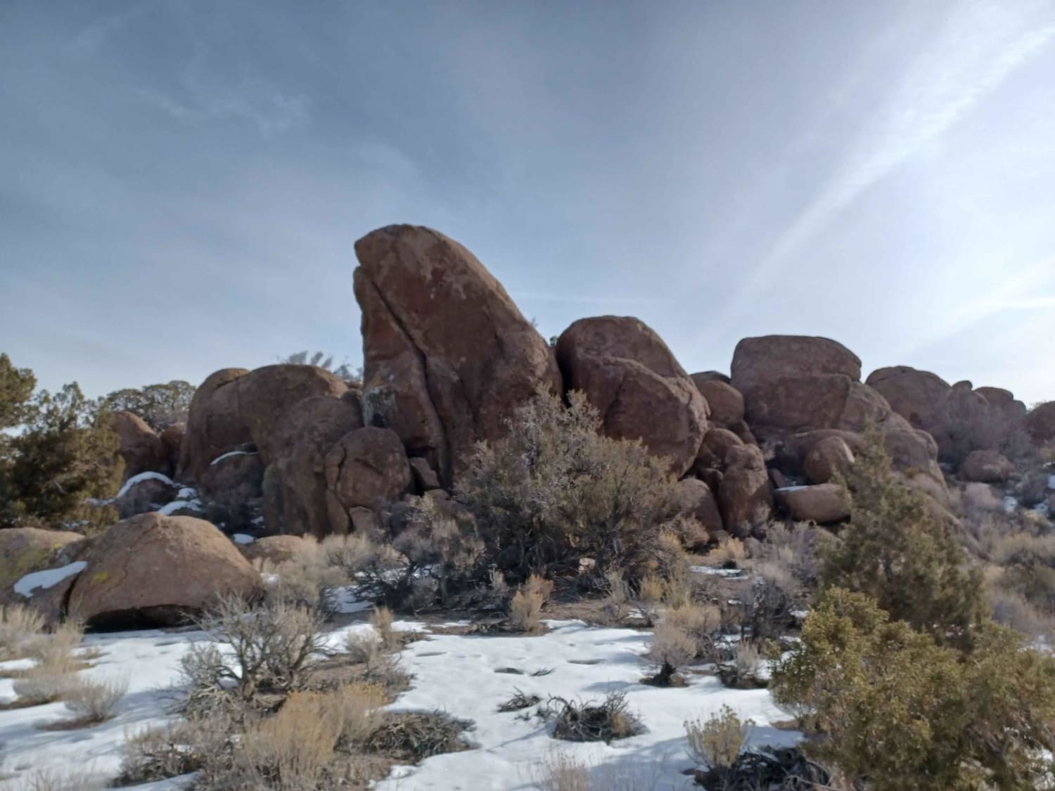
Bird Springs Road
The onX Offroad Difference
onX Offroad combines trail photos, descriptions, difficulty ratings, width restrictions, seasonality, and more in a user-friendly interface. Available on all devices, with offline access and full compatibility with CarPlay and Android Auto. Discover what you’re missing today!
