Weiser Valley
Total Miles
13.9
Elevation
771.77 ft
Duration
3 Hours
Technical Rating
Best Time
Spring, Summer, Fall, Winter
Trail Overview
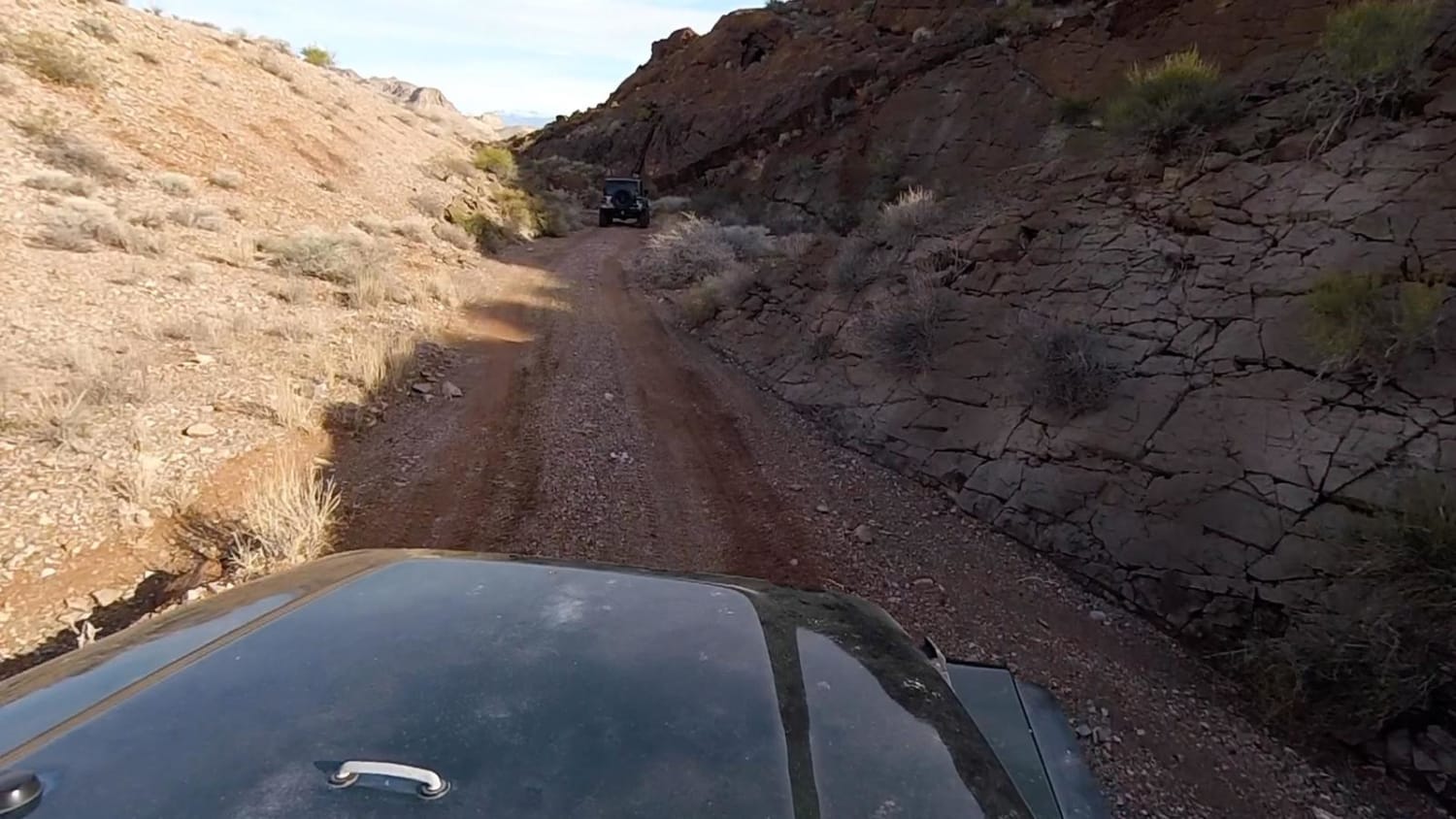
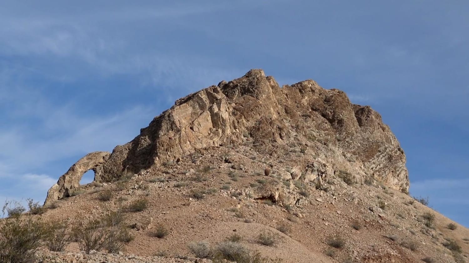
Weiser Valley is a stock-friendly trail that follows a natural wash between two mountain ranges near the Valley of Fire and Logandale Trail system. Be on the lookout for wildlife, as wild horses and big horn sheep are commonly seen in the area. Weiser Valley also serves as the access for other more challenging trails in the area such as the Bowl trail and the Matterhorn trail. This trail comes to an end at a gate on the northern end.
Photos of Weiser Valley
Difficulty
This is a dirt road with a few sections of loose gravel. No challenging obstacles.
Status Reports
Popular Trails
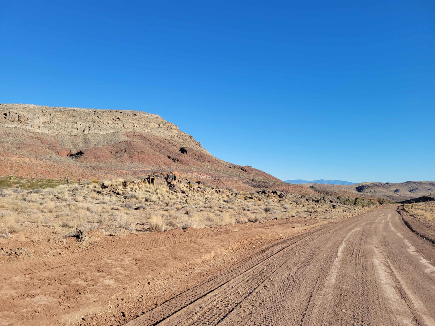
Tule Springs Road
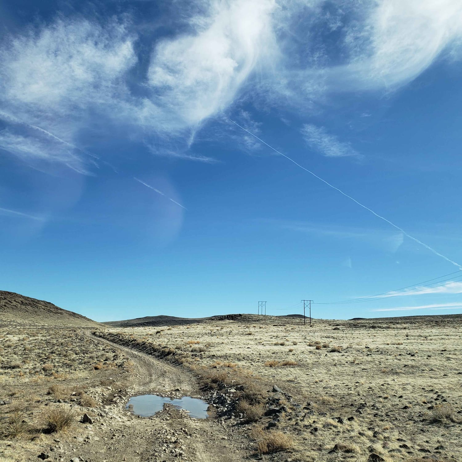
Clifton Flat Trail
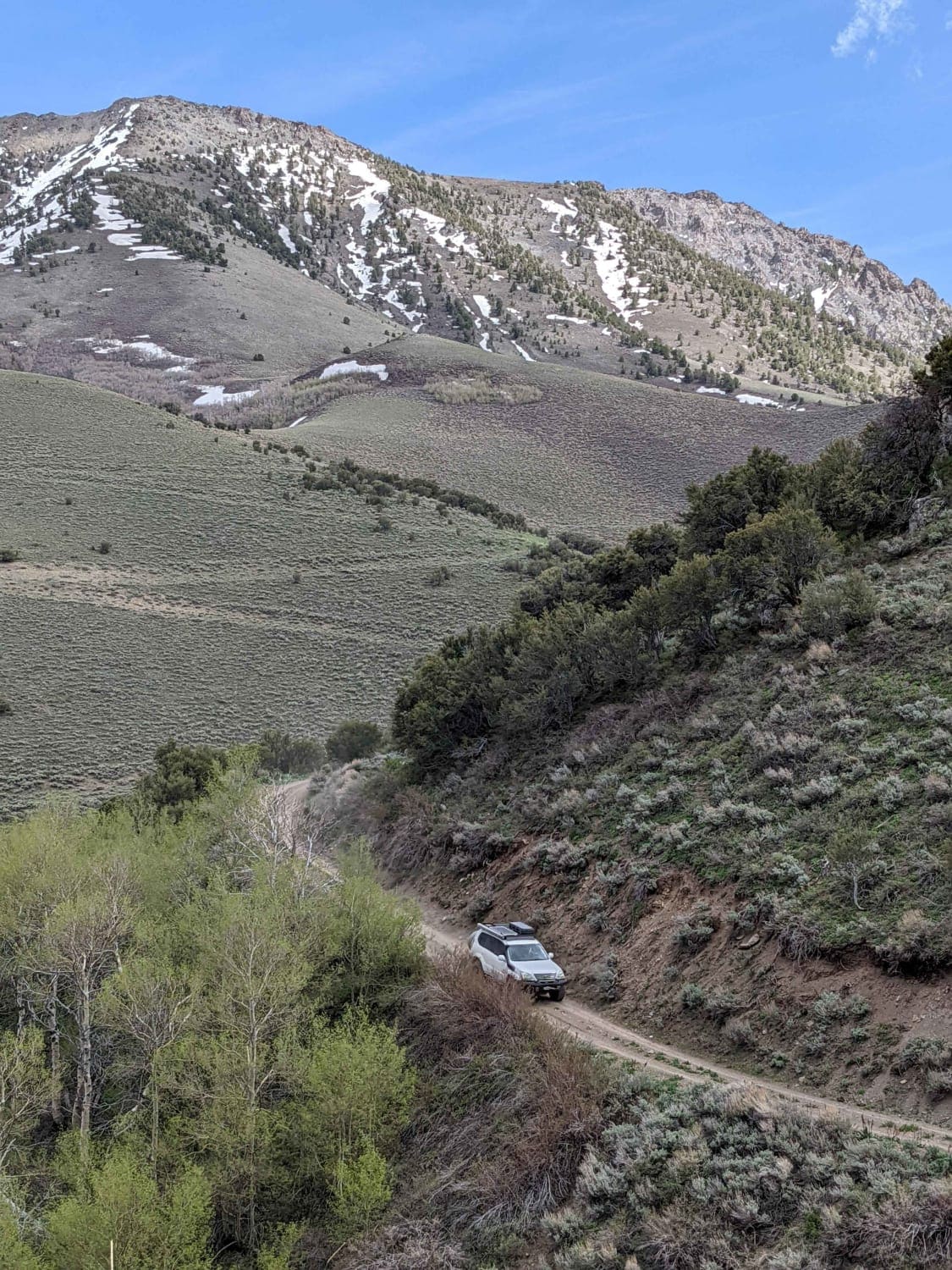
South Fork Birch Creek Road - NF43243
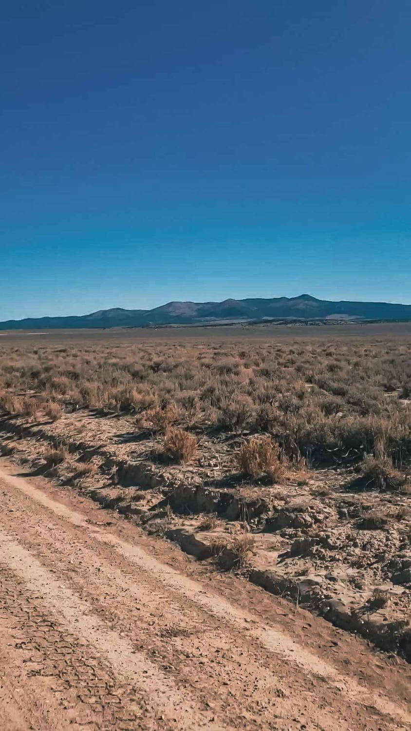
Farm View Road
The onX Offroad Difference
onX Offroad combines trail photos, descriptions, difficulty ratings, width restrictions, seasonality, and more in a user-friendly interface. Available on all devices, with offline access and full compatibility with CarPlay and Android Auto. Discover what you’re missing today!
