White River
Total Miles
6.2
Technical Rating
Best Time
Spring, Summer, Fall
Trail Type
Full-Width Road
Accessible By
Trail Overview
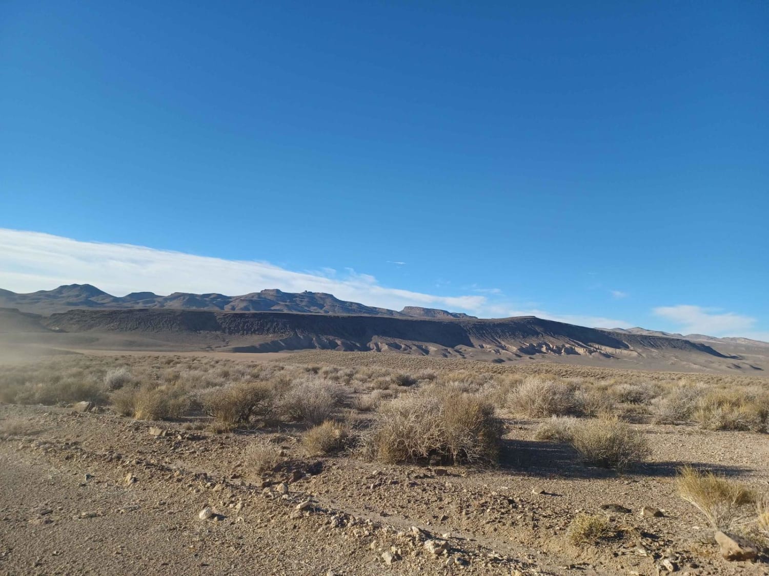
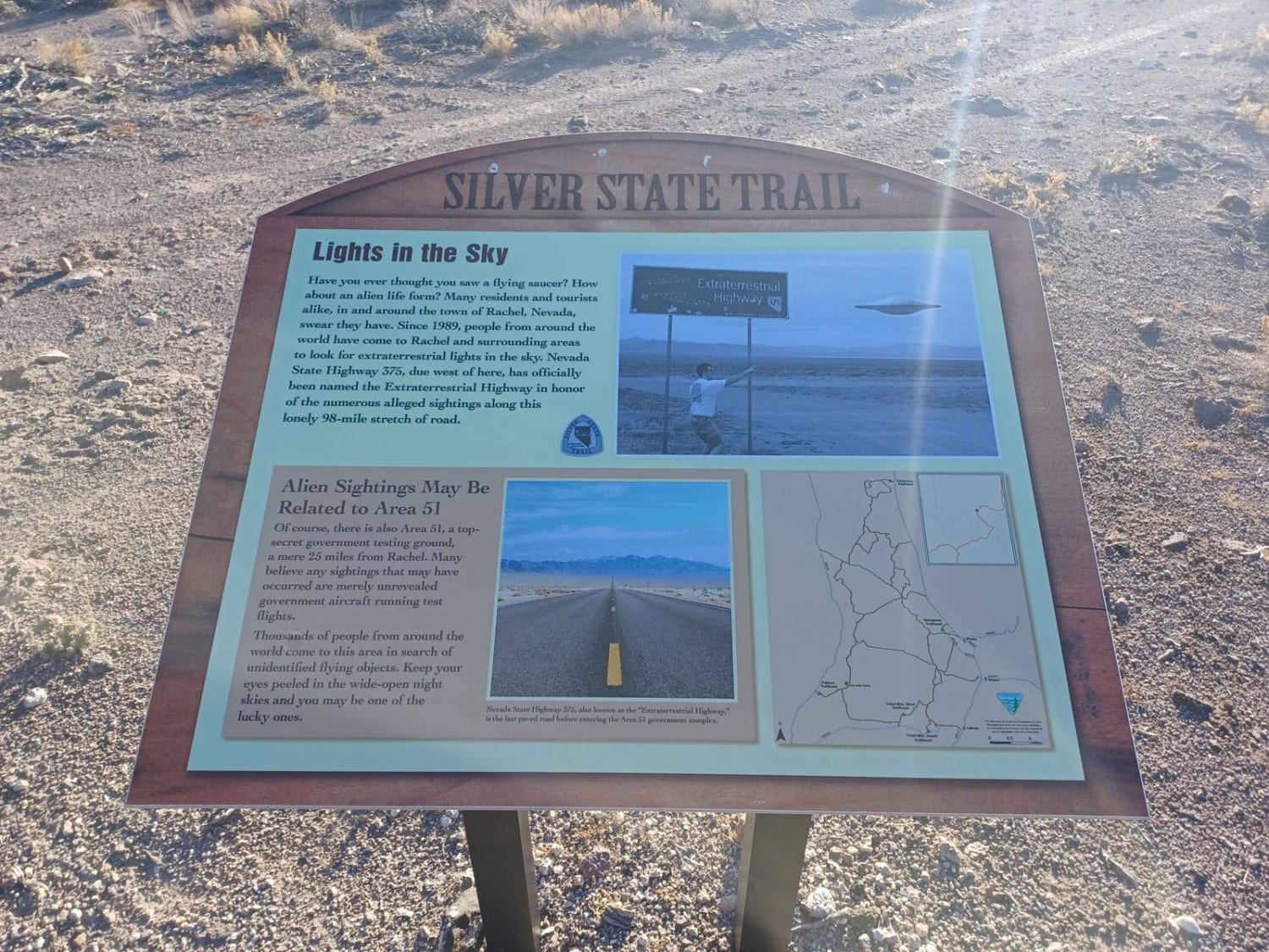
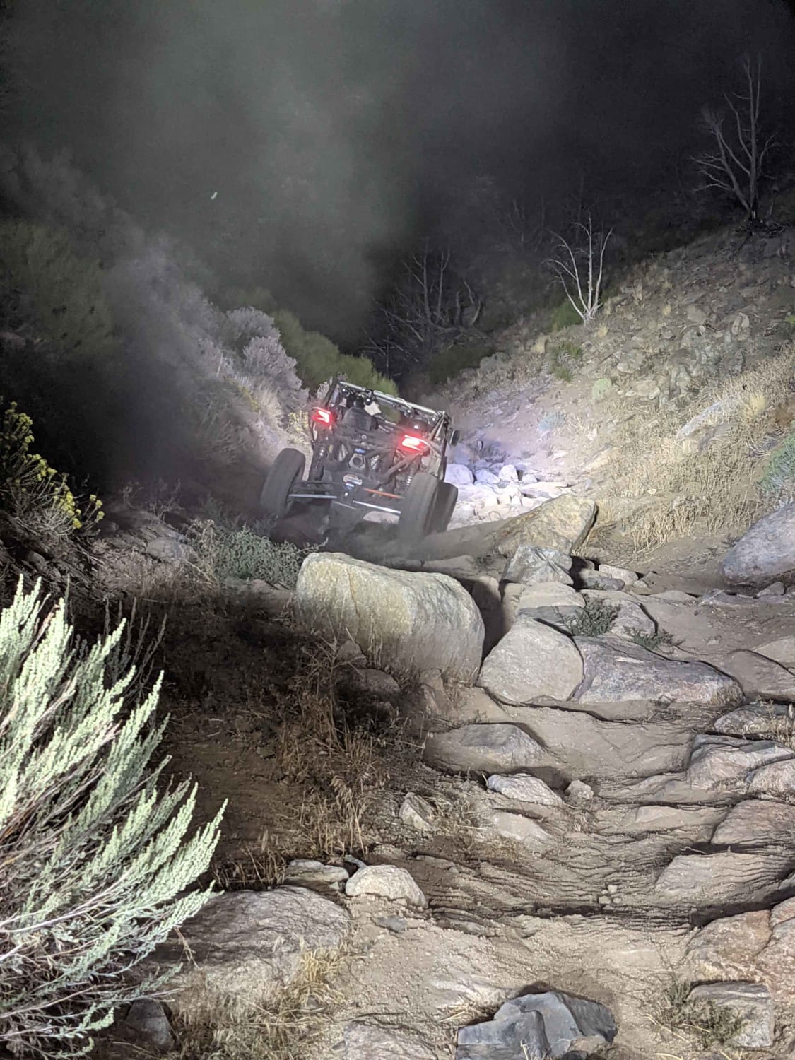
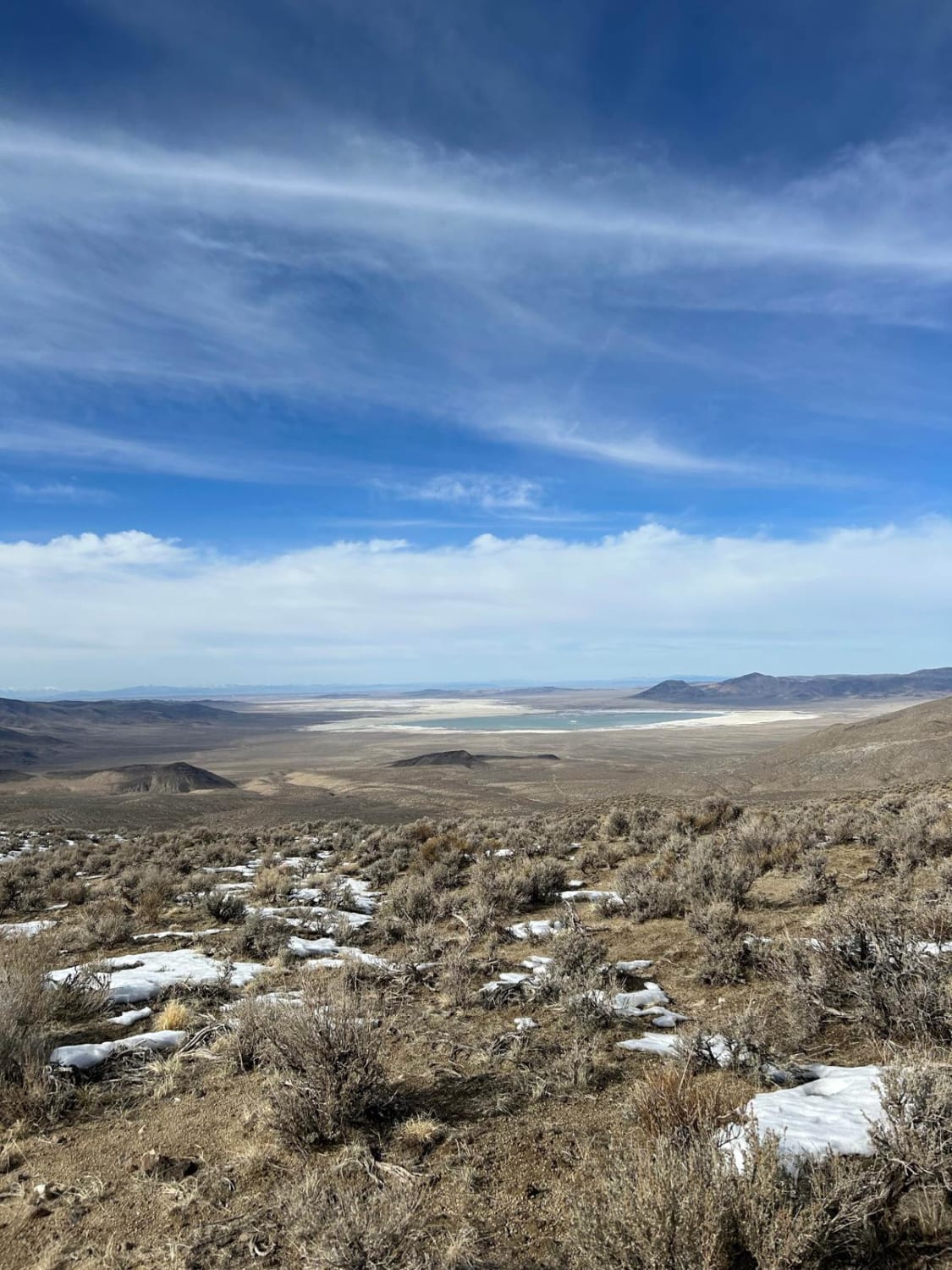
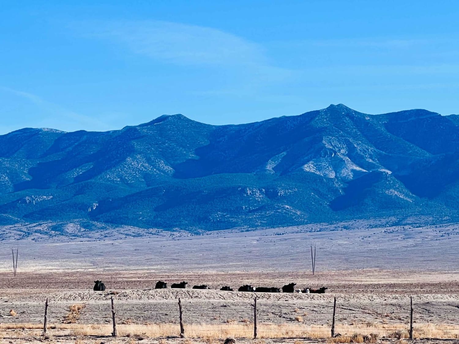
The first section of White River is easy with little to no difficulty, there are pretty views of the valley around you. The road drives through the Bureau of Land Management Government Land. As you get to the top and you see the sign for Silver State Trail, this is where White River road gets more difficult. It becomes very overgrown, and tight, and almost impossible to see the road. I would recommend any vehicles that do not wish to get pinstripes or are larger wheelbases to turn around at the sign, once you get down the tight section turning around becomes impossible and the road eventually dead ends at nothing.
Photos of White River
Difficulty
Tight, overgrown, and not for large rigs.
Status Reports
Popular Trails
Bullfrog Reservoir
Ellsworth Pass
The onX Offroad Difference
onX Offroad combines trail photos, descriptions, difficulty ratings, width restrictions, seasonality, and more in a user-friendly interface. Available on all devices, with offline access and full compatibility with CarPlay and Android Auto. Discover what you’re missing today!
