Forked River Mountain Summit
Total Miles
5.8
Technical Rating
Best Time
Spring, Summer, Fall
Trail Type
Full-Width Road
Accessible By
Trail Overview
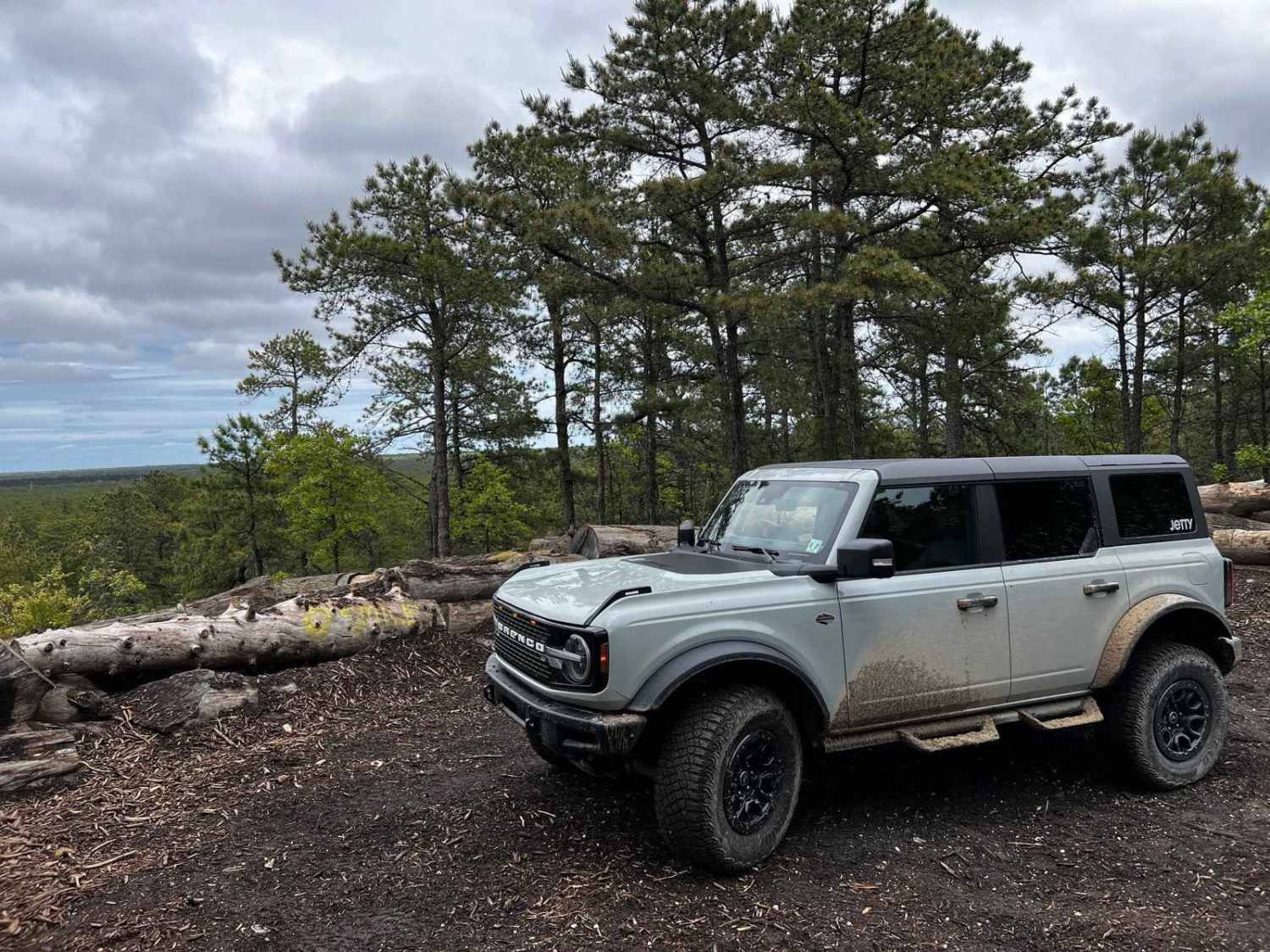
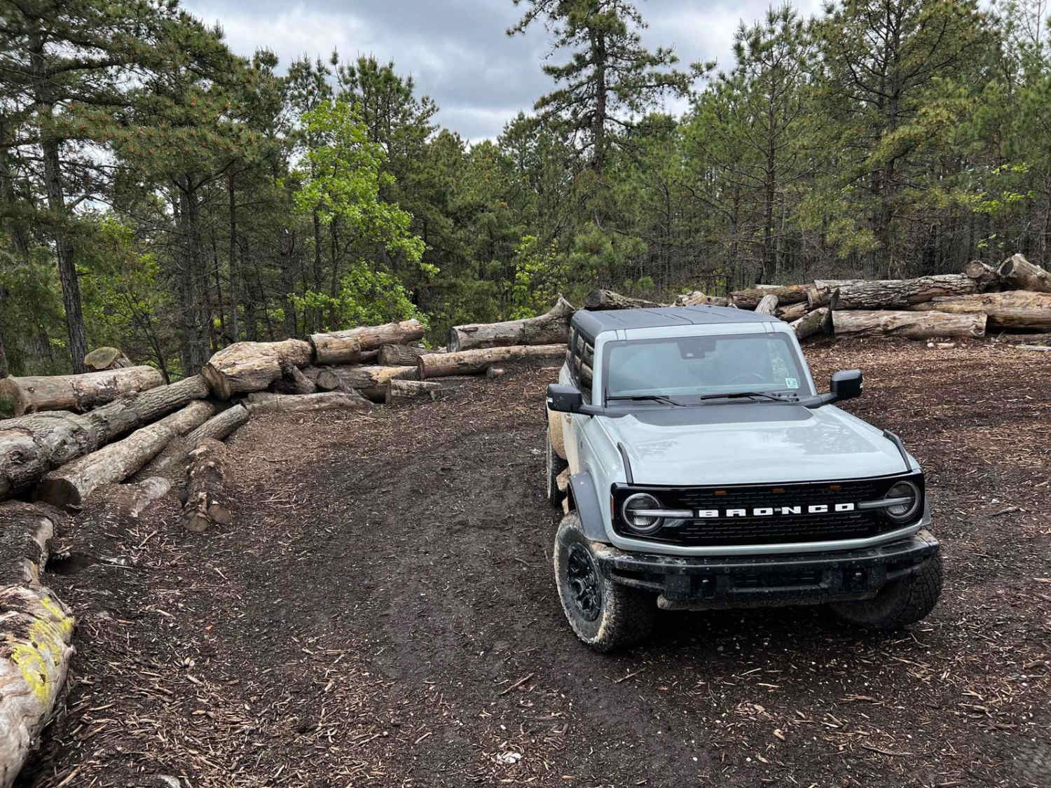
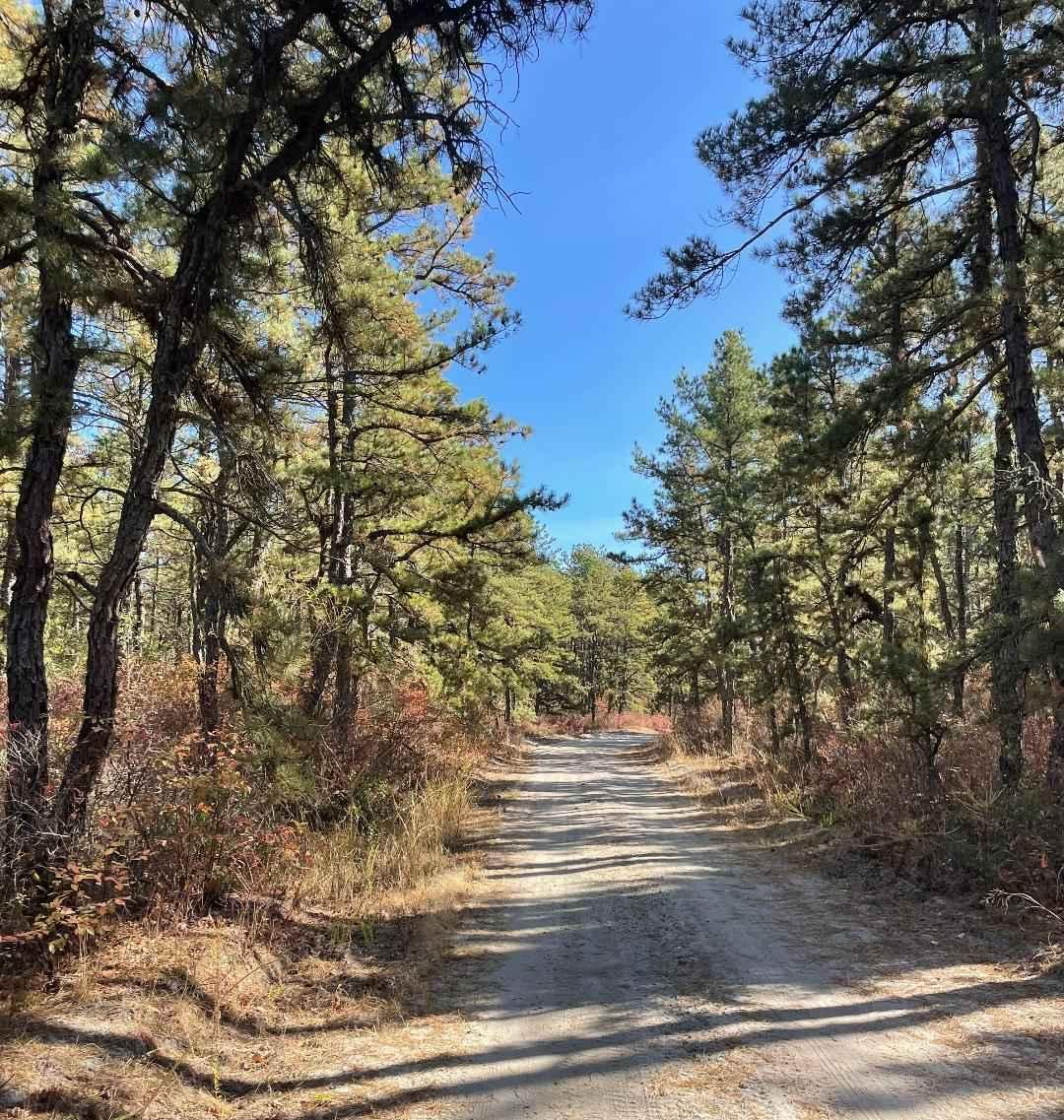
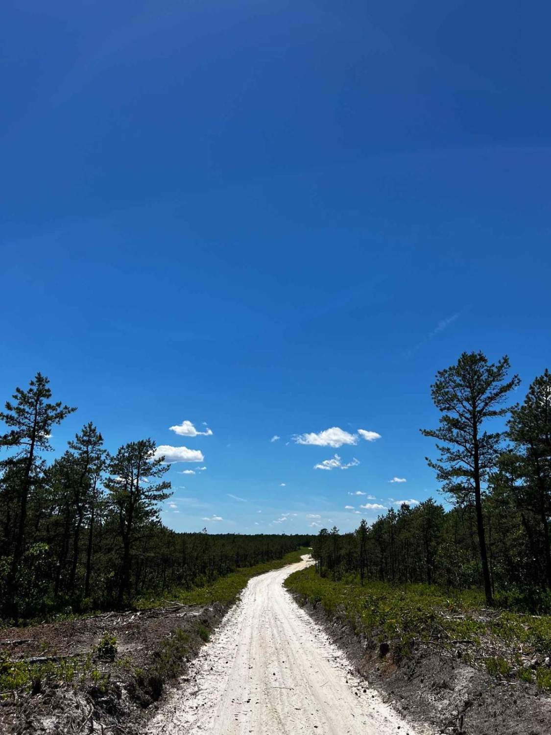
This is the Forked River Mountain Summit Trail, giving you the easiest route to the very scenic summit of the Forked River Mountains. Most of the trail has been recently maintained by the forestry service filling in most of the major mud ruts and water holes, making the trail much more easily accessible. The beginning of the trail is right off Route 539 and continues on all dirt roads up to the summit where an old forest fire tower used to stand. Just past that is a dead end where you can park and see for miles over the landscape. The view is quite amazing for New Jersey; you can see the hangers at Lakehurst Naval Base and even the shore, making it a great place to have lunch or just hang out. It's a little over 5 miles up to the top and a quick roundtrip will probably take you about an hour and a half.
Photos of Forked River Mountain Summit
Difficulty
The trail has the potential for deep water holes or puddles after a lot of rain. There are some spots where there is mud and ruts, as well as some sandy areas. Towards the end, there is about a 7% grade to get to the summit.
Status Reports
Forked River Mountain Summit can be accessed by the following ride types:
- High-Clearance 4x4
- SUV
- SxS (60")
- ATV (50")
- Dirt Bike
Forked River Mountain Summit Map
Popular Trails
Two Towers Loop

Mines Spung Road
Forge Road to Wharton State Forest
The onX Offroad Difference
onX Offroad combines trail photos, descriptions, difficulty ratings, width restrictions, seasonality, and more in a user-friendly interface. Available on all devices, with offline access and full compatibility with CarPlay and Android Auto. Discover what you’re missing today!
