American Canyon - FSR 310
Total Miles
19.2
Elevation
2,310.10 ft
Duration
1.25 Hours
Technical Rating
Best Time
Spring, Summer, Fall
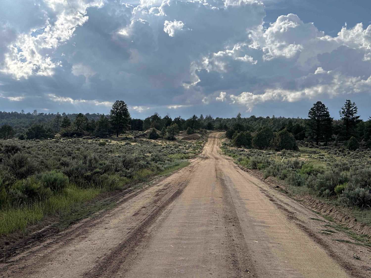
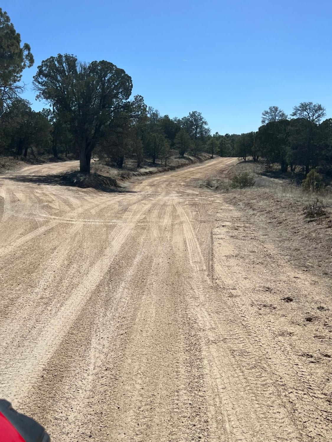
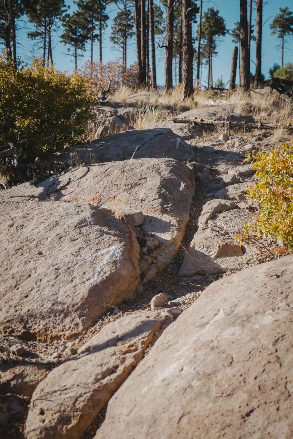
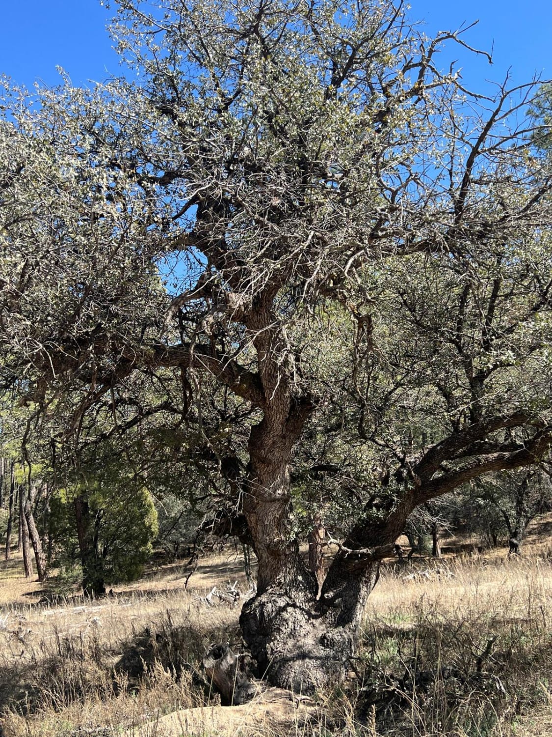
Trail Overview
This trail isn't technically challenging, though mud, weather, and the isolated nature of most of the terrain should all be serious considerations, as there is little-to-no cell service along most of the trail. The trail starts off of the north side of Route 64 in Carson National Forest close to the Jicarilla Apache Reservation. Initially winding through Ponderosa Pine forests interspersed with grassy meadows, after the first three miles across private property the trail emerges into Carson National Forest. From there, it makes a gradual climb up through more Ponderosa and some aspen trees to the top of American Mesa for some gorgeous lookouts and views north to the Rockies before making some heavily rutted switchbacks down to Ulibarri Canyon. Depending on the weather and time of year, water may be running across Cabresto Creek, and several low-lying areas result in standing water across the dirt and clay-packed trail--in short, there may be mud, and lots of it. As you climb out of the canyon back into the ponderosa pine forest, take note of the Buzzard Park primitive campground about 15.5 miles from the start of the trail--meadows interspersed with huge ponderosa pine offer the perfect spot for some boondocking and solitude. The trail comes to an end a little farther on when it merges onto Carracas Mesa - FSR 218, which you can follow all the way up to the Colorado State Line. The further north the more wildlife can be seen--jackrabbits, deer, wild turkeys, elk, quail can be seen, and even wild horses can be spotted as one approaches the Jicarilla Wild Horse Territory towards the north end of the trail. PLEASE NOTE: Around 11.6 miles from the start your last chance to make this trail a loop is at Cabresto Canyon/ FSR 309. Any further up this trail or onto Carracas Mesa/FSR 218 will require you eventually backtrack out the way you went in, there is no through route.
Photos of American Canyon - FSR 310

Difficulty
This would be an easy "2" but for muddy conditions and possible water crossings in the canyon, otherwise steep grades, muddy low points, deep erosion, and heavy ruts are the biggest obstacles one can expect to find on this route.
Status Reports
Popular Trails

Carracas Mesa/ NFS 218
FS 91 Old Tyrone Road
Alamitos Loop
FS 827 Deadman
The onX Offroad Difference
onX Offroad combines trail photos, descriptions, difficulty ratings, width restrictions, seasonality, and more in a user-friendly interface. Available on all devices, with offline access and full compatibility with CarPlay and Android Auto. Discover what you’re missing today!