Angel Peak Loop
Total Miles
20.6
Technical Rating
Best Time
Spring, Fall, Summer, Winter
Trail Type
Full-Width Road
Accessible By
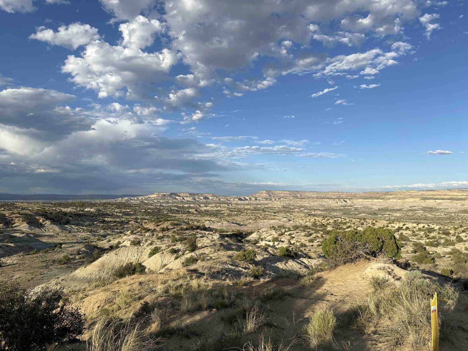
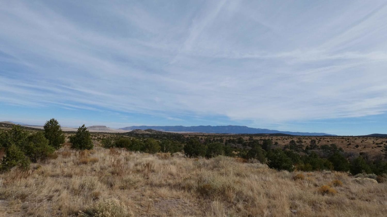
Trail Overview
Starting in the high desert immediately adjacent to a canal, the loop utilizes BLM oil roads to dip down into the badlands surrounding Angel Peak. Zig-zagging across the sandy washes that weave through the bottom of Kutz Canyon, the loop encircles Angel Peak for an all-angles view of the peak and formations around it before opening back up to additional stunning views of the canyons and mesas southeast of Bloomfield. While cattle graze at the beginning/end of the loop, jackrabbits, quail, and deer can all be seen further into the canyon. Severe erosion cuts into the roads in places after storms, and some ledging can be found on some of the short, steep ascents and when entering or exiting washes.
Photos of Angel Peak Loop

Difficulty
The difficulty of this trail can vary significantly based on weather as storms wash through the area and cause significant erosion of the trail as well as washing large quantities of sand onto the road or into washes.
Status Reports
Angel Peak Loop can be accessed by the following ride types:
- High-Clearance 4x4
- SUV
- SxS (60")
- ATV (50")
- Dirt Bike
Angel Peak Loop Map
Popular Trails
Cougar Mountain Road
Tower Peak via Rosedale Road
Little Rosa Base
The onX Offroad Difference
onX Offroad combines trail photos, descriptions, difficulty ratings, width restrictions, seasonality, and more in a user-friendly interface. Available on all devices, with offline access and full compatibility with CarPlay and Android Auto. Discover what you’re missing today!