Arizona Road/CR 4900 Extension
Total Miles
4.3
Technical Rating
Best Time
Spring, Summer, Fall, Winter
Trail Type
Full-Width Road
Accessible By
Trail Overview
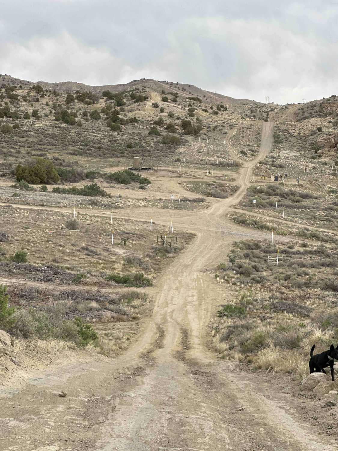
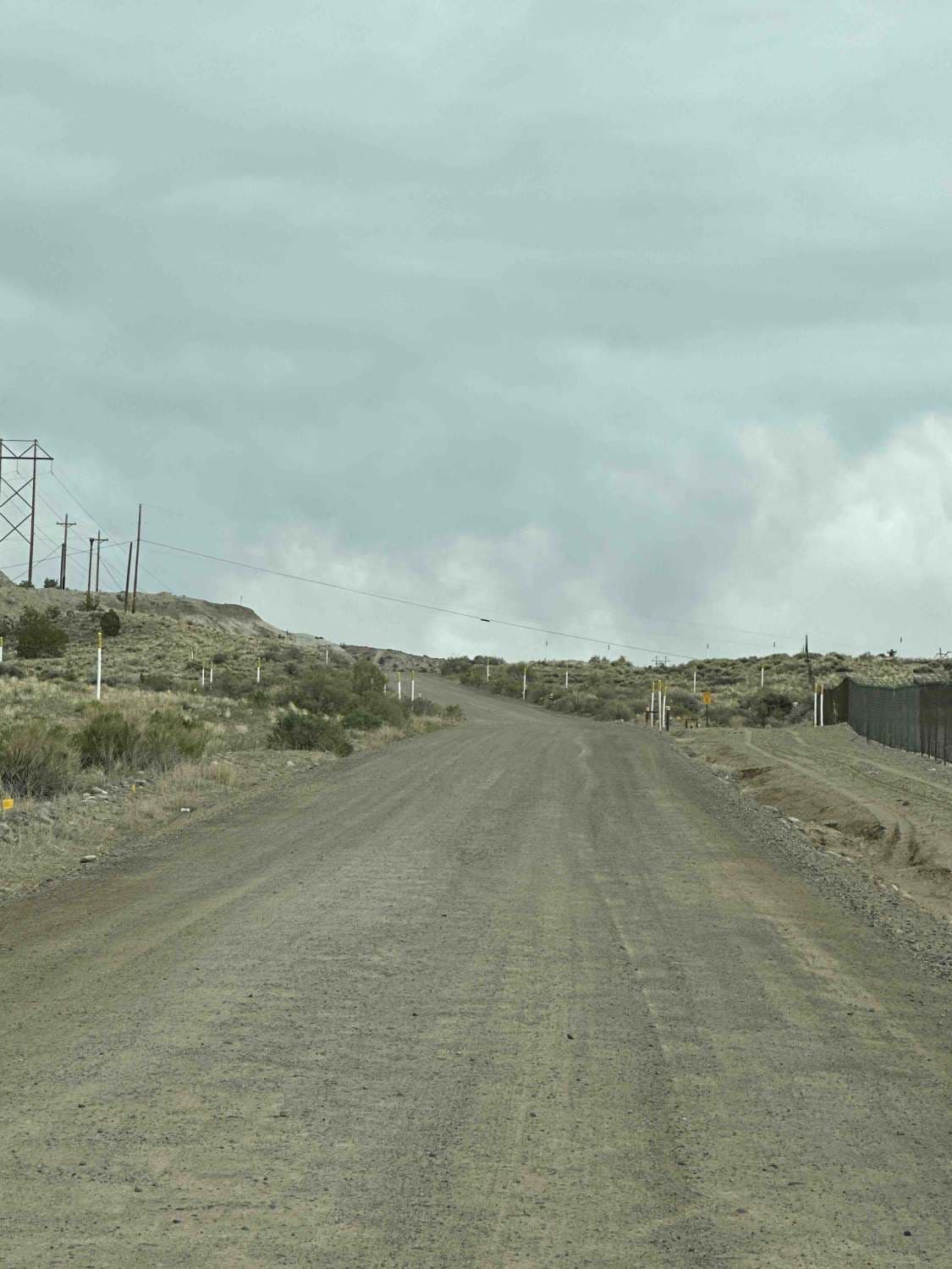
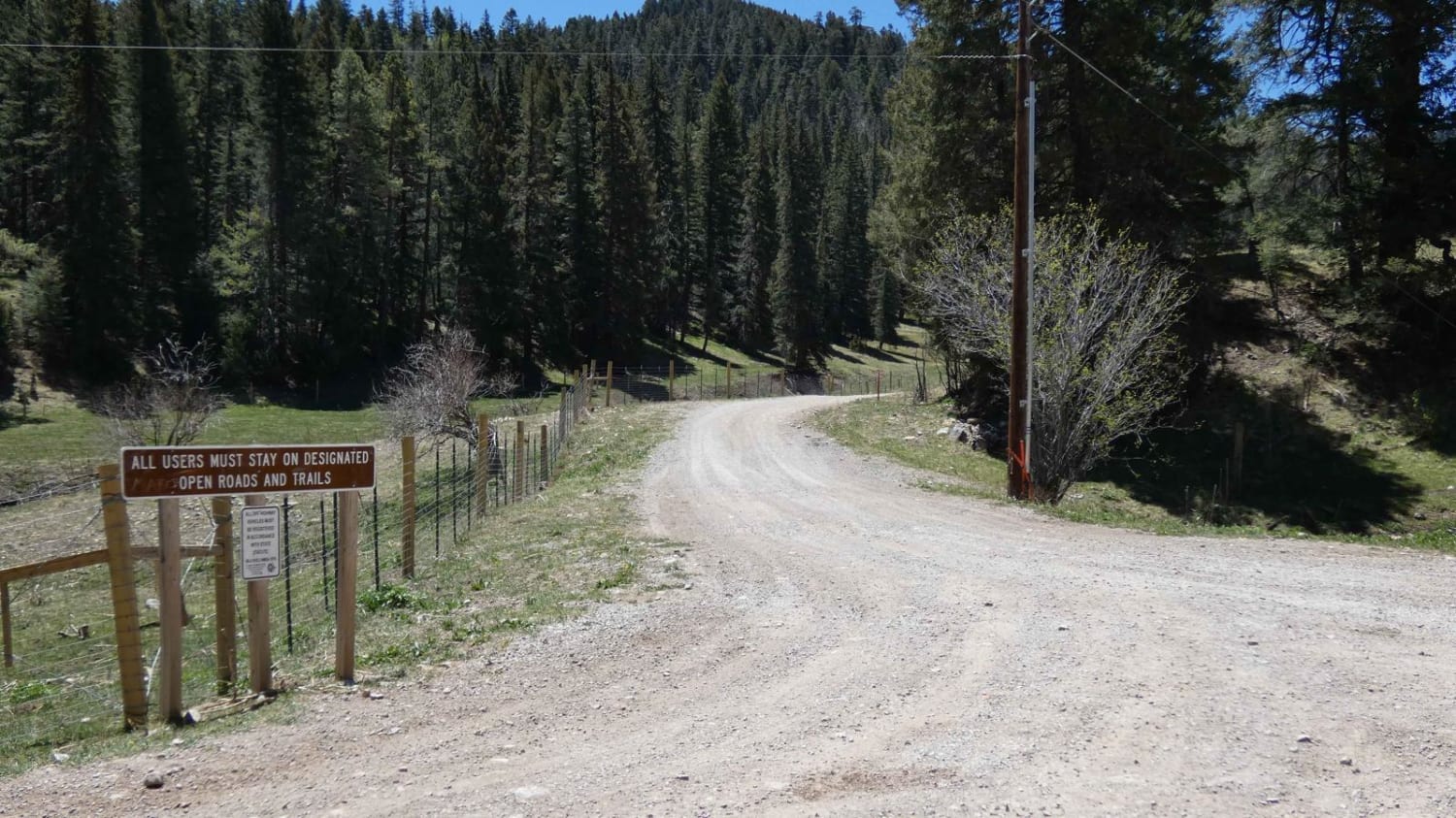
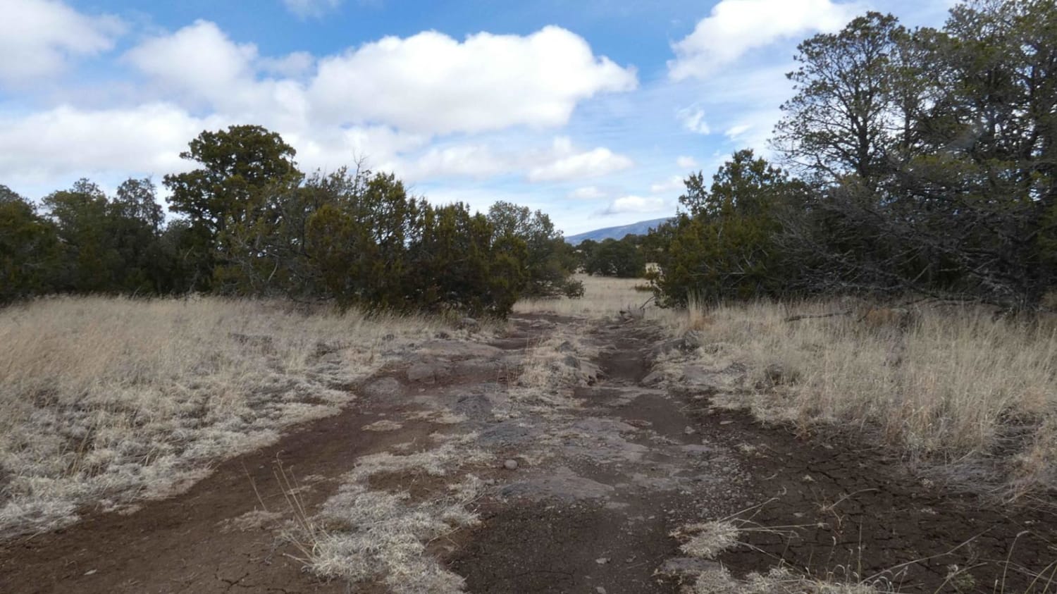
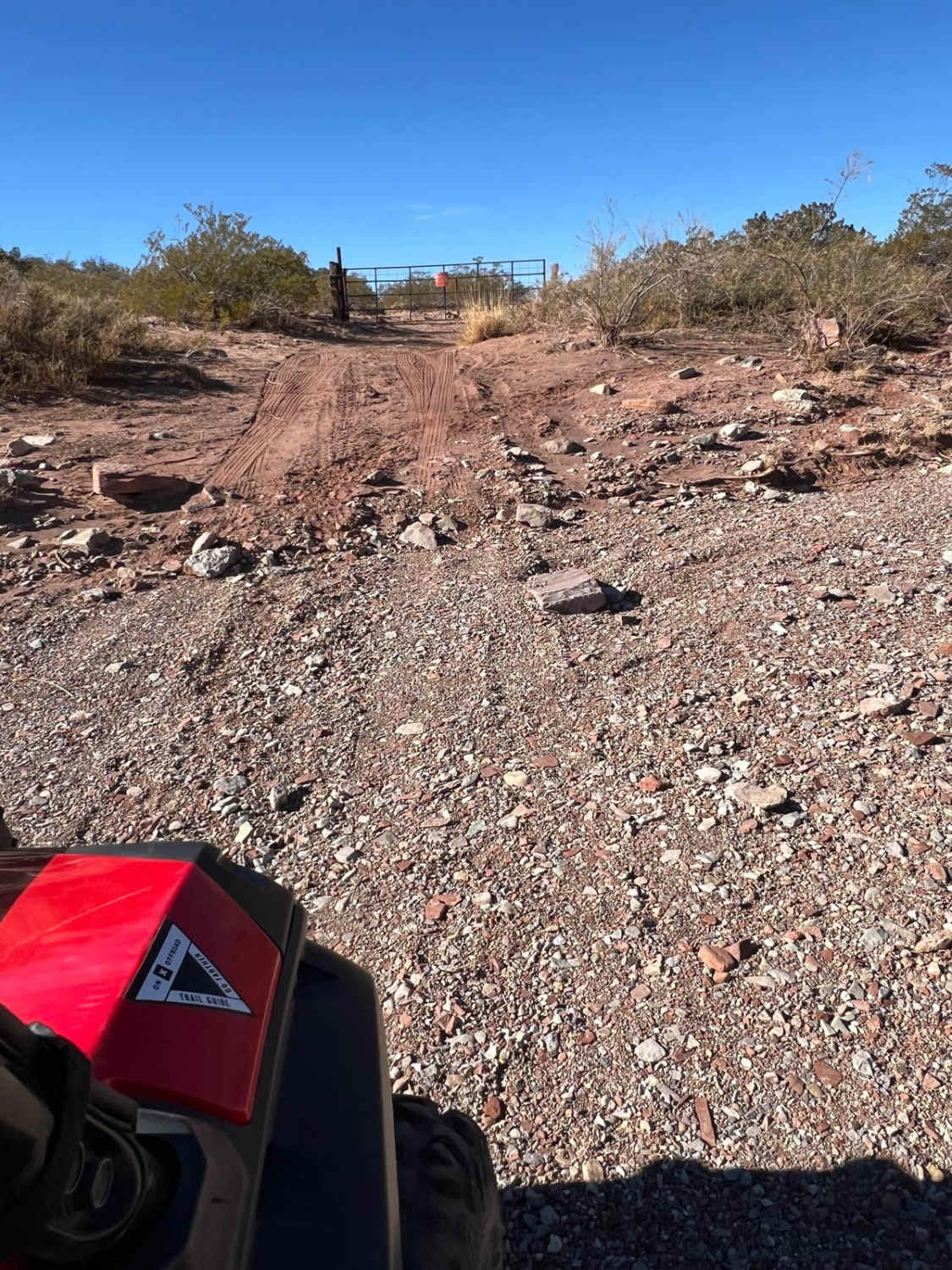
Just north of Bloomfield, this route is primarily used by locals and oil and gas trucks to access oil sites or the trails that crisscross the area between NM 550. From Bloomfield, it's the access point to a lot of great places east of US 550, north of US 64, west of the San Juan River, and south of the Colorado state line. There are plenty of opportunities to drop your vehicle into 4WD with some gnarly ruts and areas where bare rock has pushed through the sand and clay that make up the bulk of this trail. Along the way, there are quite a few places to depart from the main trail to have some ATV, SxS, and motorcycle fun. Approximately half a mile from the US 64/Angustura access point, there's a place to pull off and unload smaller off-road vehicles to ride nearby courses. Near the Arizona road access point, there are a few spurs on both the south and north sides of the trail that lead to some spectacular southward views of Bloomfield, Angel Peak, and Harris Mesa.
Photos of Arizona Road/CR 4900 Extension
Difficulty
This trail is a single vehicle's width in most places and heavily rutted. In many places, the compacted dirt and clay have worn away to reveal exposed ledges, rocks, and some slick rock. There are several steep ascents and descents where the road runs east and west straight over several hogbacks and/or ridges. This route can be navigated with care by a vehicle with 8.5 inches of clearance and 4WD, and with less attention to the terrain by a truck with higher clearance outfitted for off-roading.
Status Reports
Arizona Road/CR 4900 Extension can be accessed by the following ride types:
- High-Clearance 4x4
- SUV
- SxS (60")
- ATV (50")
- Dirt Bike
Arizona Road/CR 4900 Extension Map
Popular Trails
Little Challenge

Rock Edge Well
The onX Offroad Difference
onX Offroad combines trail photos, descriptions, difficulty ratings, width restrictions, seasonality, and more in a user-friendly interface. Available on all devices, with offline access and full compatibility with CarPlay and Android Auto. Discover what you’re missing today!
