Beanfield Ridge
Total Miles
1.1
Technical Rating
Best Time
Spring, Winter, Fall
Trail Type
Single Track
Accessible By
Trail Overview
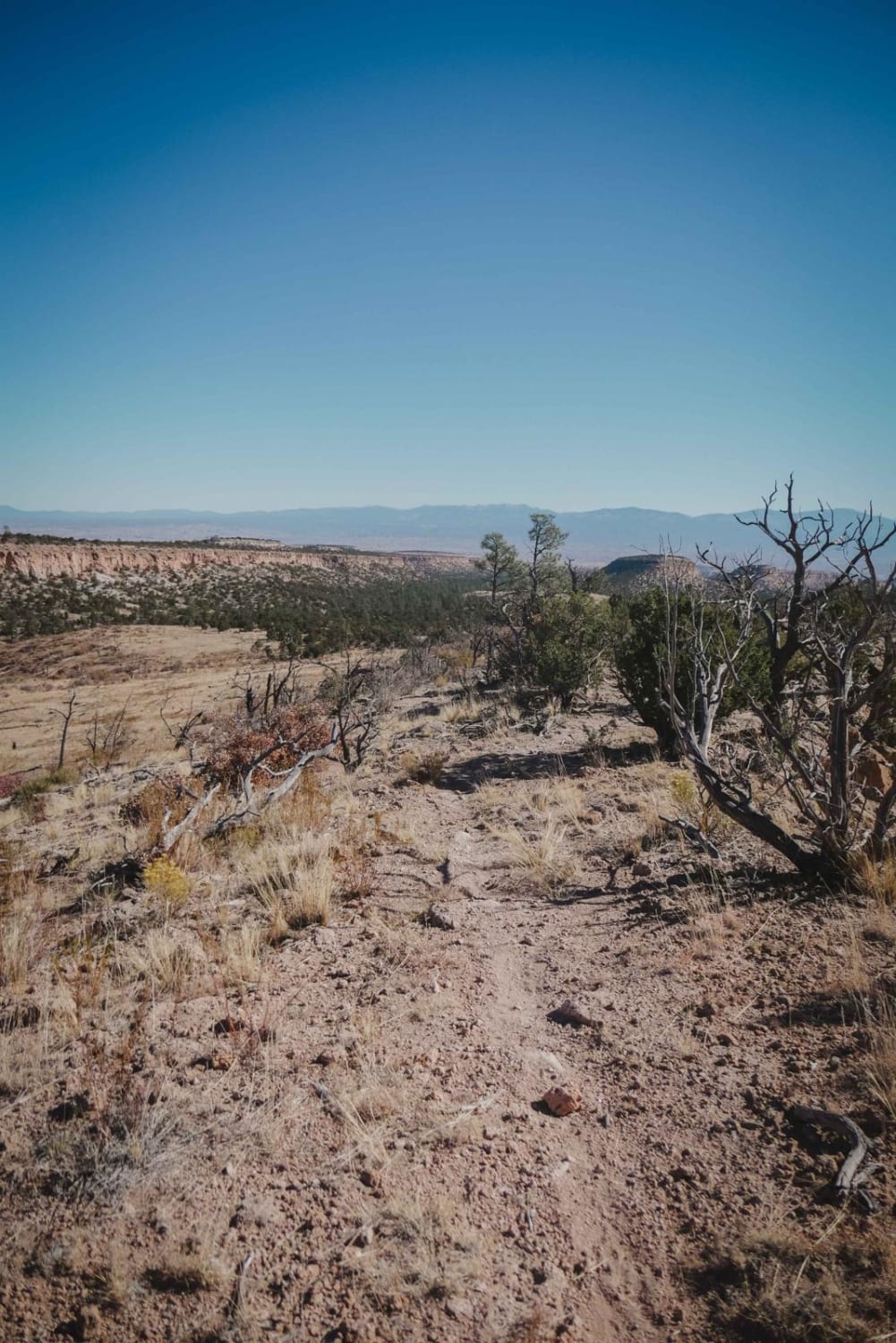
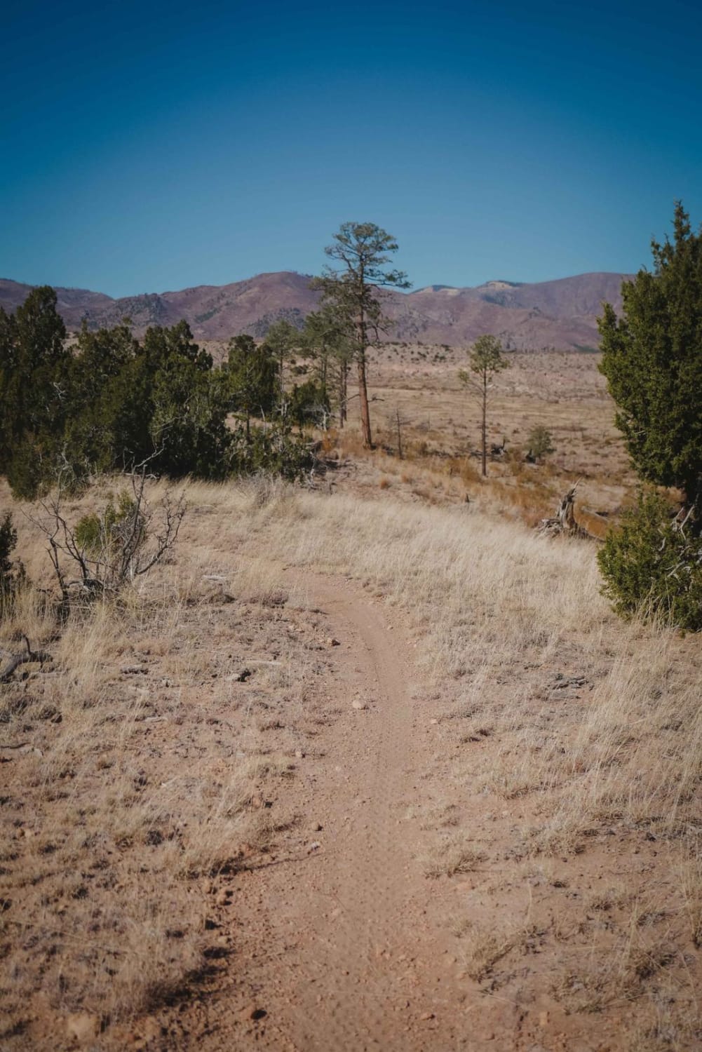
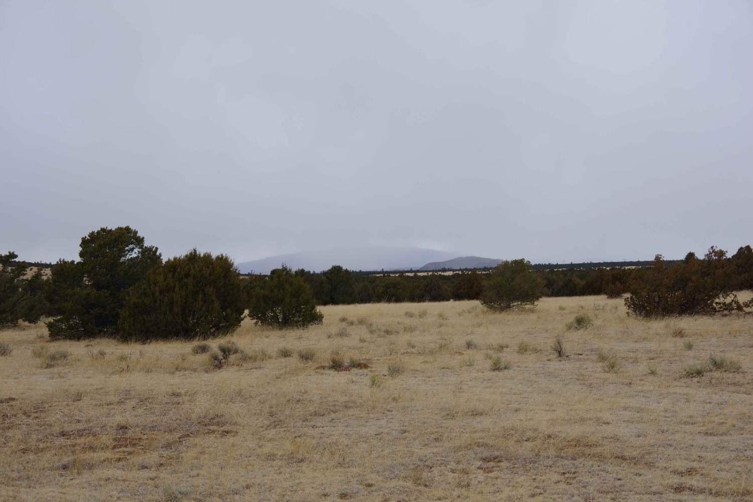
Beanfield Ridge is a short single track through a grassy high desert terrain that is easy to miss from both entrances because there are no trail markings in this area. It departs from Maria's Canyon Road and goes along a ridge on the top of a dry grassy mesa. The trail is a mix of sand, gravel, and dirt. It's pretty narrow, overgrown, and troughed in spots. It drops down off the mesa with a couple of tight turns and a small slab rock drop-off. It crosses a dirt road and goes into a ravine directly across the road, which is easy to miss. At this point, the trail goes through a burn area, so it has become overgrown with grass and downed logs and is faint and hard to see. It is extremely helpful to have a GPS map here to follow the trail to connect to the dirt road on the north end. You'll have to pick your way through some downed logs. The trail is relatively easy to follow up until this point, but there are several cow trails that look exactly like the main trail which sometimes can make it confusing.
Photos of Beanfield Ridge
Difficulty
This is an easy single track with a couple of tight turns and one rock drop-off, but it will require some route finding skills at times.
Status Reports
Beanfield Ridge can be accessed by the following ride types:
- Dirt Bike
Beanfield Ridge Map
Popular Trails
Frametwister
Arizona to Center Point Fire Station 2
West Mesa Loop

Scales Canyon
The onX Offroad Difference
onX Offroad combines trail photos, descriptions, difficulty ratings, width restrictions, seasonality, and more in a user-friendly interface. Available on all devices, with offline access and full compatibility with CarPlay and Android Auto. Discover what you’re missing today!
