Chain of Craters Backcountry Byway
Total Miles
28.1
Technical Rating
Best Time
Summer, Fall, Spring
Trail Type
Full-Width Road
Accessible By
Trail Overview
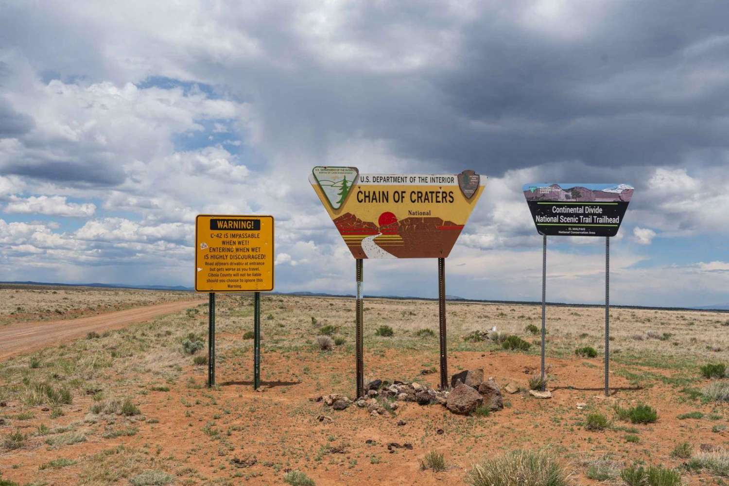
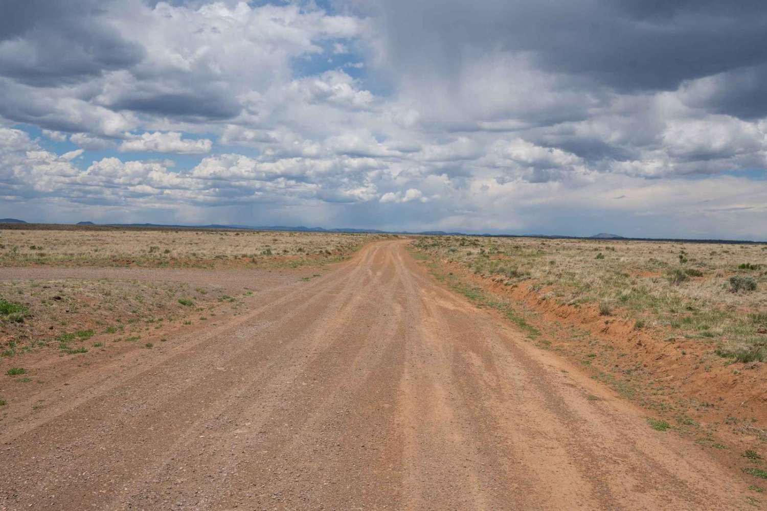
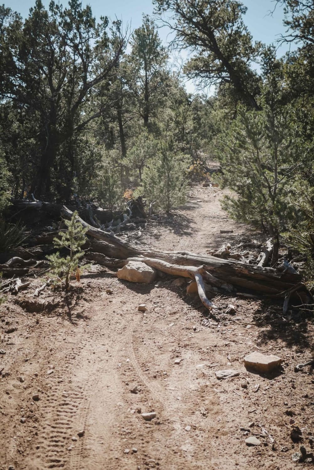
The trail travels along the south and west boundaries of the El Malpais National Monument and surrounding BLM land. The trail begins in a wide-open plain with desert scrub largely used for cattle grazing before passing into a desert forest, passing numerous volcanic cinder cones with side trails. The trail occasionally passes nearby lava flows which are more numerous in the El Malpais National Monument and BLM wilderness. Most of the land to the right side of the trail (north and east) is BLM wilderness closed to mechanized travel.
Photos of Chain of Craters Backcountry Byway
Difficulty
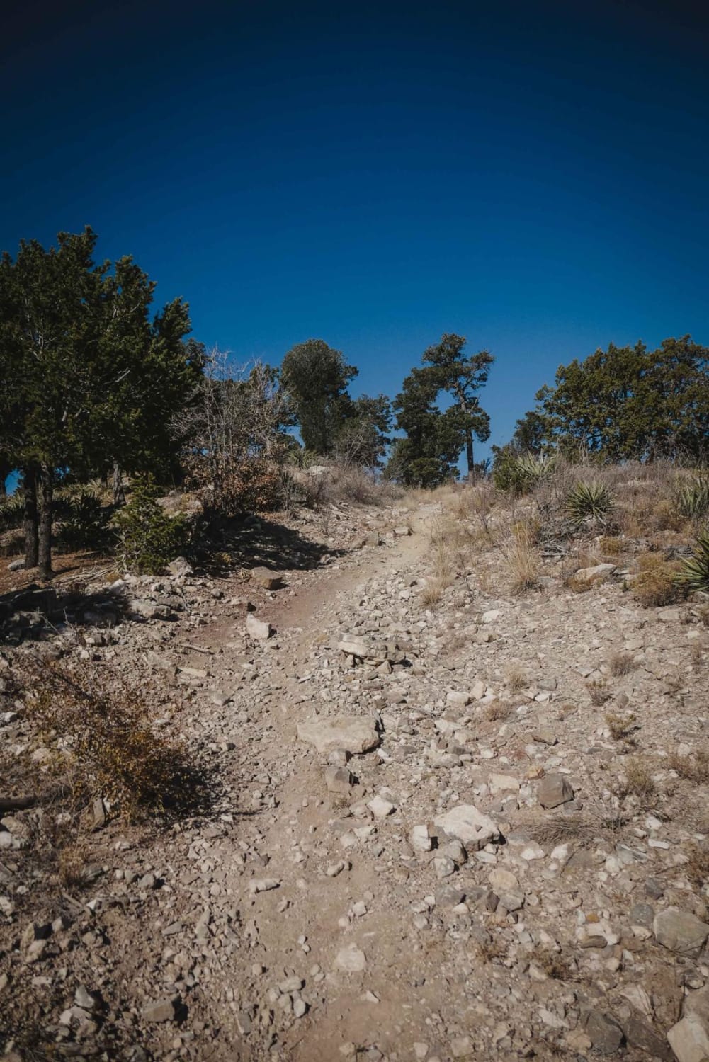
The trail is mostly flat and well-graded with occasional rocky sections with small 1- to 3-inch rocks. Sections of the trail would likely be rutted and potentially impassable when wet due to mud.
Status Reports
Chain of Craters Backcountry Byway can be accessed by the following ride types:
- High-Clearance 4x4
- SUV
Chain of Craters Backcountry Byway Map
Popular Trails
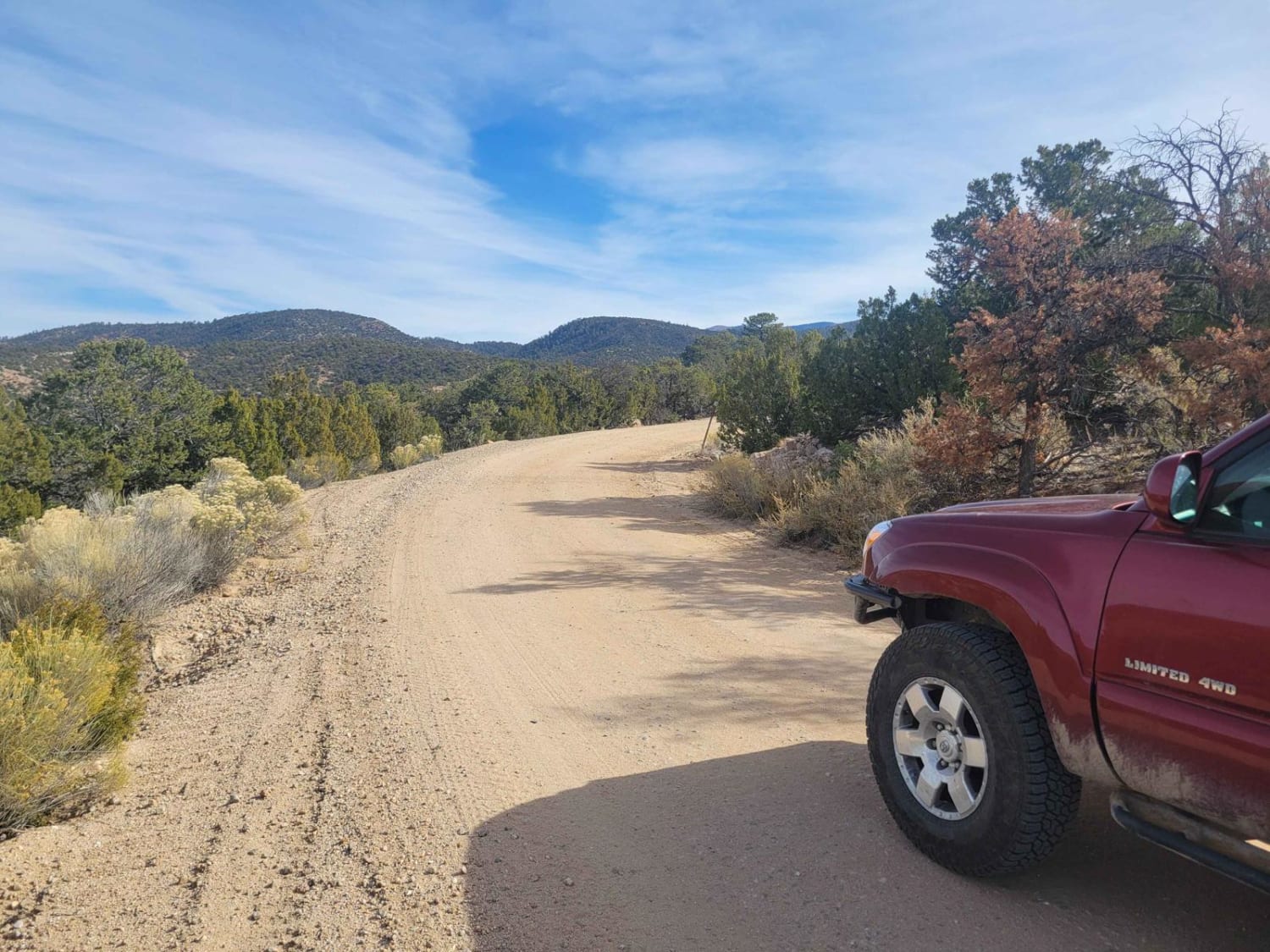
Borrego Mesa Trail
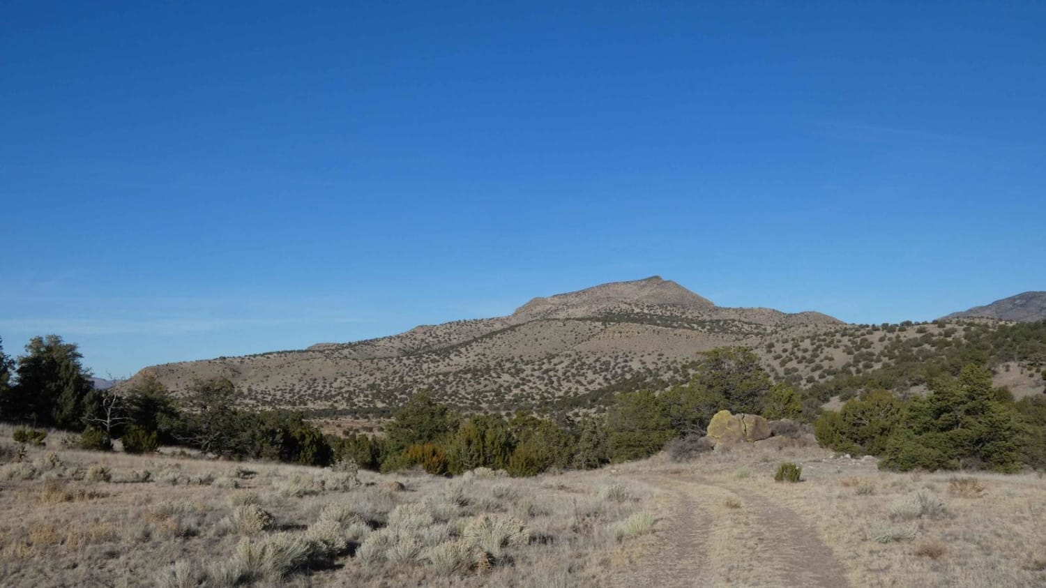
Cerro Pelon Base
The onX Offroad Difference
onX Offroad combines trail photos, descriptions, difficulty ratings, width restrictions, seasonality, and more in a user-friendly interface. Available on all devices, with offline access and full compatibility with CarPlay and Android Auto. Discover what you’re missing today!
