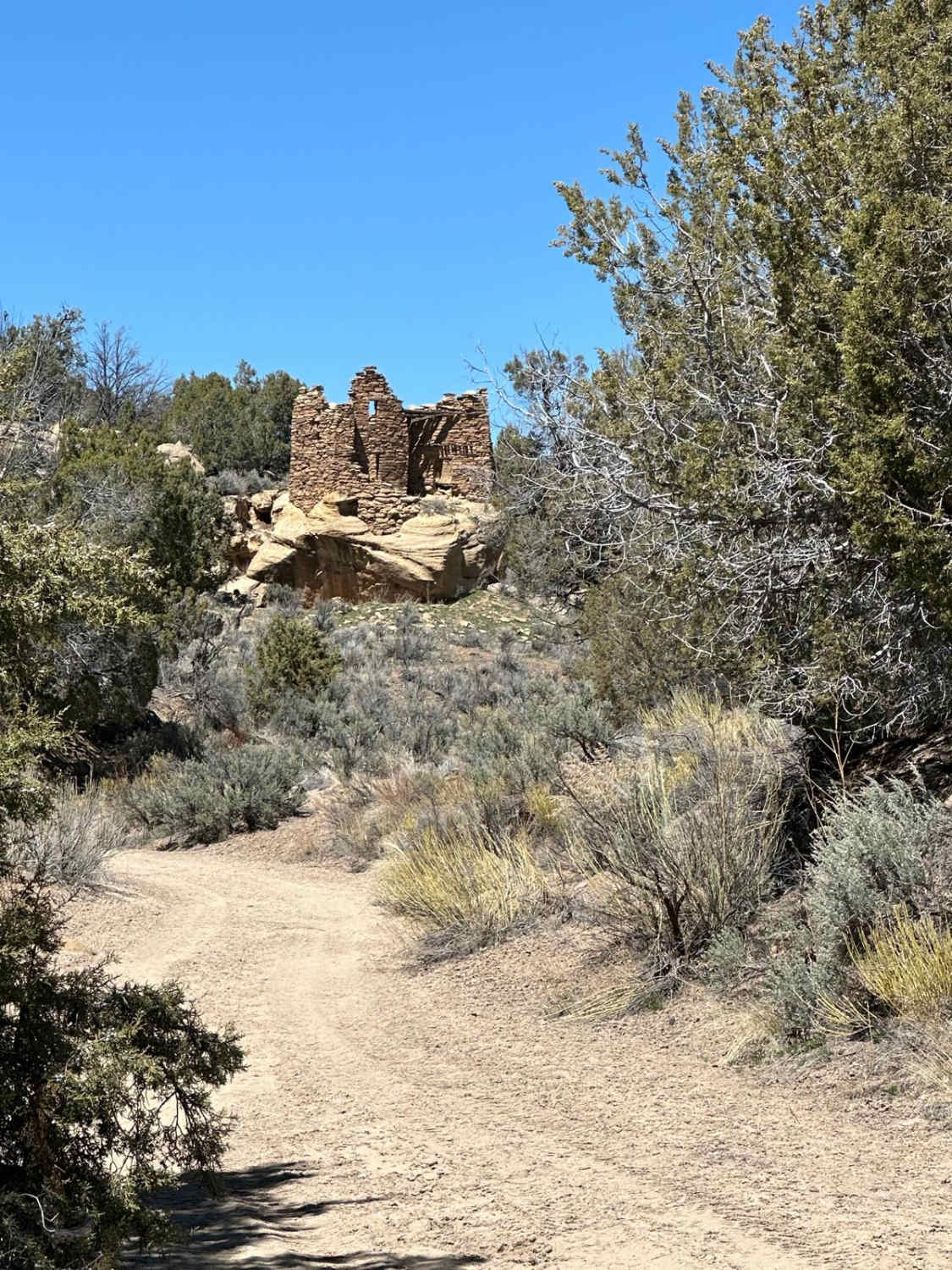
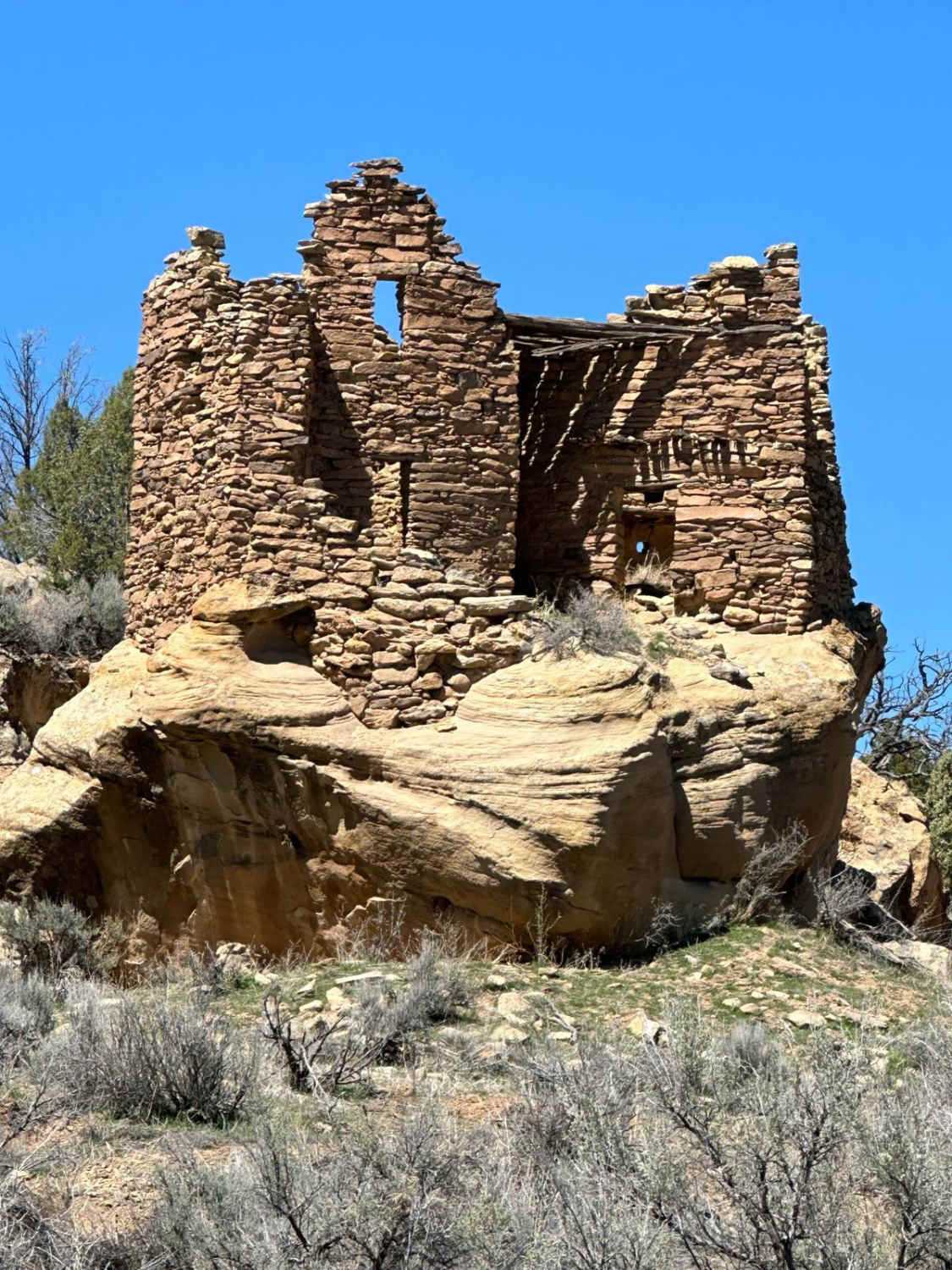
Citadel and Shaft House Pueblitos
Total Miles
3.0
Elevation
2,069.29 ft
Duration
1.5 Hours
Technical Rating
Best Time
Spring, Summer, Fall
Trail Overview
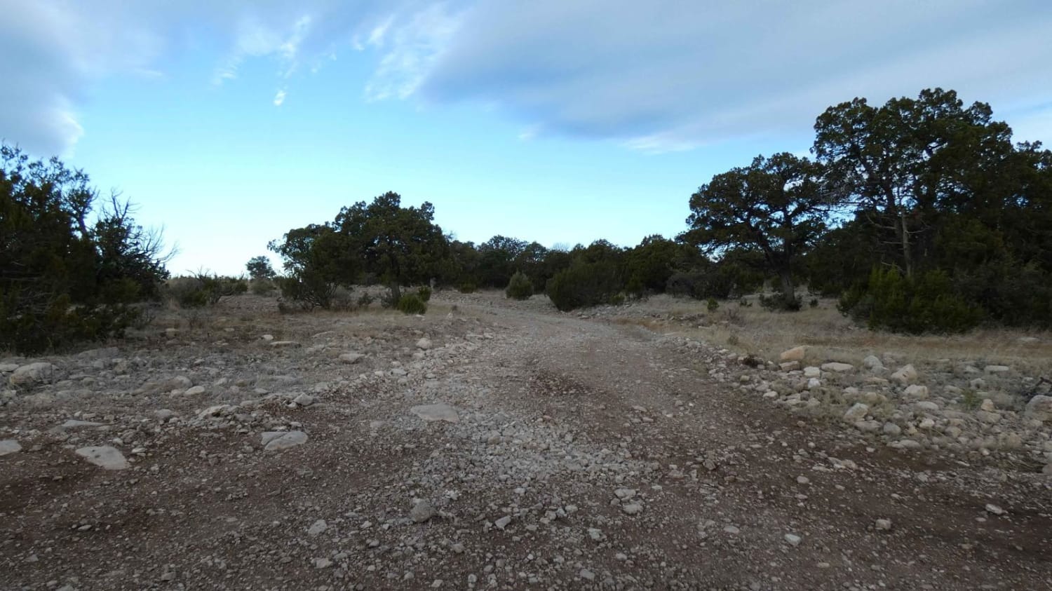
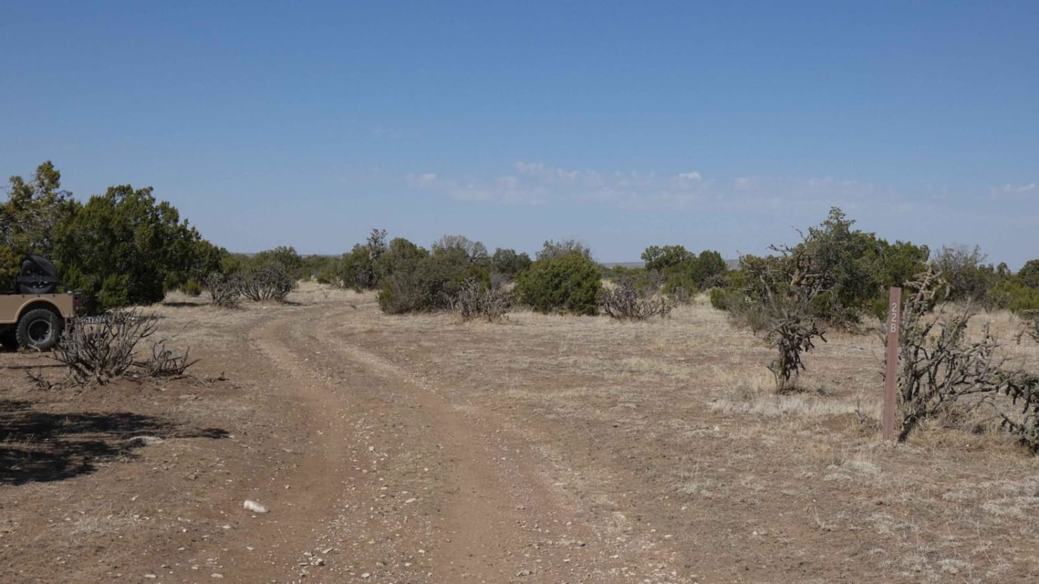
Both of these pueblitos require a short hike from their respective parking areas. The driving routes are easy with a few ruts. The road to the parking area for Shaft House Pueblito is narrow due to trees. To see the pueblito, a short hike over uneven terrain is necessary. Walk south towards the edge of Cuervo Canyon and look for a path down to the archaeological sign and viewpoint. The pueblito itself is pushed back into an alcove just below the lip of the cliff and can't be seen from the top without doing more leaning over the edge than is safe. There are some great views from above if you have the stomach for the heights, but for the most part, this spur is most significant due to its proximity to Shaft House. Shaft House can be seen and accessed by following the Crow Canyon Trail to the end and hiking closer. Meanwhile, the Citadel Pueblito is on State of New Mexico trust lands, so a recreational access permit from the State of New Mexico is required. The entire permitting process can be completed online by applying for the permit here: https://openforadventure.nmstatelands.org/. The southern approach to the Citadel Pueblito is a rutted trail with several slightly off-camber areas but nothing to write home about. The northern approach is a route that runs through an oil/gas installation. Once you make it to the tip of the loop for the Citadel Pueblito, notice the very loosely blocked-out parking areas. If you make the hike down to the pueblito, you'll find it a little over a hundred yards due east of the parking area. It's a bit of a scramble over and down ledged sandstone and rocks, but it's well worth the trouble. Much of the pueblito remains intact and the remote location lends an air of solitude not found at more commercial sites. The coordinates for the pueblito are 36.56933, -107.58179. Additional information regarding the Citadel Pueblito can be found here: http://www.aztecnm.com/archaeology/dinetah/citadel.html. A YouTube video with additional information regarding the site can be found here: https://www.youtube.com/watch?v=HwbWXT8MSDI&t=52s.
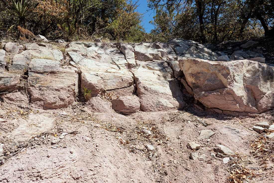
Photos of Citadel and Shaft House Pueblitos
Difficulty
There are some ruts on this route. 4WD shouldn't be necessary unless there are extremely muddy conditions. The biggest concern with this trail is water; it becomes significantly more difficult when muddy.
History
Shaft House Coordinates: 36.55715, -107.59673. Library of Congress information: https://www.loc.gov/item/nm0160/. Local information: http://www.aztecnm.com/archaeology/dinetah/shafthouse.html.
Status Reports
Popular Trails
Sargent Tank
Indian Creek Overlook

Muddy Slane Cut
Granite Knob-FS 4083 H
The onX Offroad Difference
onX Offroad combines trail photos, descriptions, difficulty ratings, width restrictions, seasonality, and more in a user-friendly interface. Available on all devices, with offline access and full compatibility with CarPlay and Android Auto. Discover what you’re missing today!