El Camino Real y Diablo Canyon Trail
Total Miles
9.3
Technical Rating
Best Time
Spring, Summer, Fall, Winter
Trail Type
Full-Width Road
Accessible By
Trail Overview
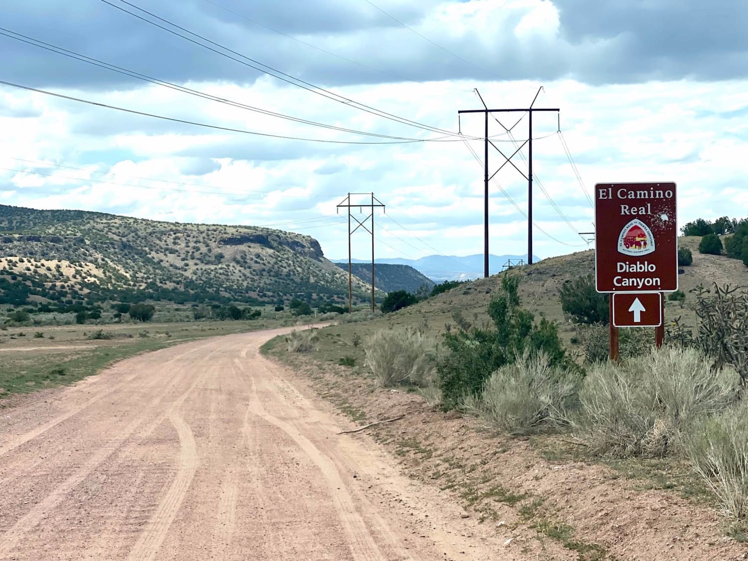
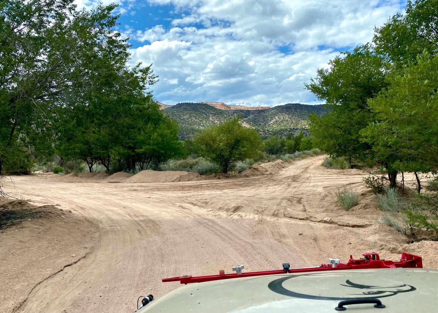
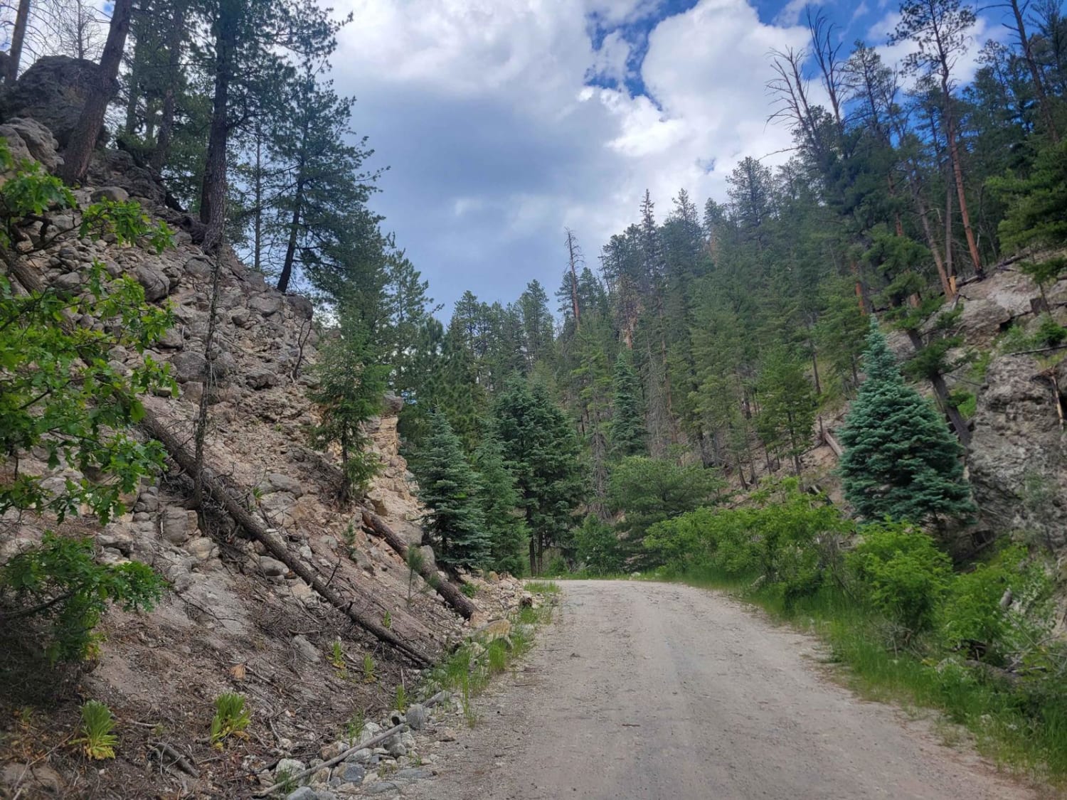
The El Camino Trail road will take you to Diablo Canyon and to the Rio Grande River. It is almost an extension of the Camino la Tierra road off of Hwy 599. It changes in name to Old Buckman road as it forks to the right after 6.7 miles. The road is well marked with signage at the fork and a wide, white gravel road taking you to the cattle guard, where the trail actually begins, changing into a dirt road. The road, a dry dusty trail may become muddy with water crossings during rain. About four and a half miles down the trail is a soft sand crossing of the Calabasa Arroyo, otherwise, the road is mostly graded with gravel until becoming sandy again upon reaching the Rio Grande area. It starts out going through BLM land till reaching a cattle guard at 8.8 miles when entering the Santa Fe National Forest. The road parallels a section of the historic Camino Real Trail on the way to Diablo Canyon with some side roads offering disturbed primitive campsites in the BLM area. Be sure to stop at the Diablo Canyon area on the way to the Rio Grande. A few movies have been filmed here, part of the Camino Real trail goes into the canyon with several rock-climbing areas and a few primitive campsites. Upon reaching the Rio Grande there is a vault toilet a few areas to enjoy the river. No other services are provided, so important to pack out what you pack in. There is no cellular service along this trail or area.
Photos of El Camino Real y Diablo Canyon Trail
Difficulty
Maintained and graded dirt and gravel road. Are a few soft sand spots crossing an arroyo or when close to the Rio Grande.
History
El Camino Real de Tierra Adentro translates to the Royal Road of The Interior Land and was an early trade route between Mexico City and the Spanish colonies in New Mexico. This northern section was established in 1598 when a group of Spanish settlers lead by Juan Onate traveled to the pueblo Indians of Ohkay Owingeh or San Juan Pueblo today. This 1600-mile trail, active from 1598 to 1882 was the earliest Euro-American trade route in the United States. It was one of four major trade routes established by the Spaniards linking Mexico City and the Spanish colonies to the north. For more on the history from NPS: https://www.nps.gov/elca/learn/historyculture/index.htm
Status Reports
El Camino Real y Diablo Canyon Trail can be accessed by the following ride types:
- High-Clearance 4x4
- SUV
- SxS (60")
- ATV (50")
- Dirt Bike
El Camino Real y Diablo Canyon Trail Map
Popular Trails
Bluewater Canyon
Border to Las Cruces

View Point - FR 449 V
Sulphur Springs Road
The onX Offroad Difference
onX Offroad combines trail photos, descriptions, difficulty ratings, width restrictions, seasonality, and more in a user-friendly interface. Available on all devices, with offline access and full compatibility with CarPlay and Android Auto. Discover what you’re missing today!
