FR623
Total Miles
5.6
Technical Rating
Best Time
Spring, Summer, Fall, Winter
Trail Type
Full-Width Road
Accessible By
Trail Overview
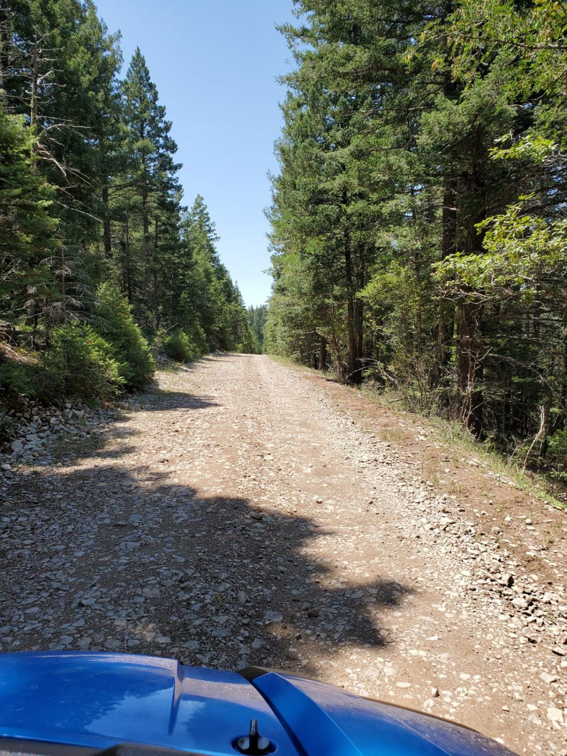
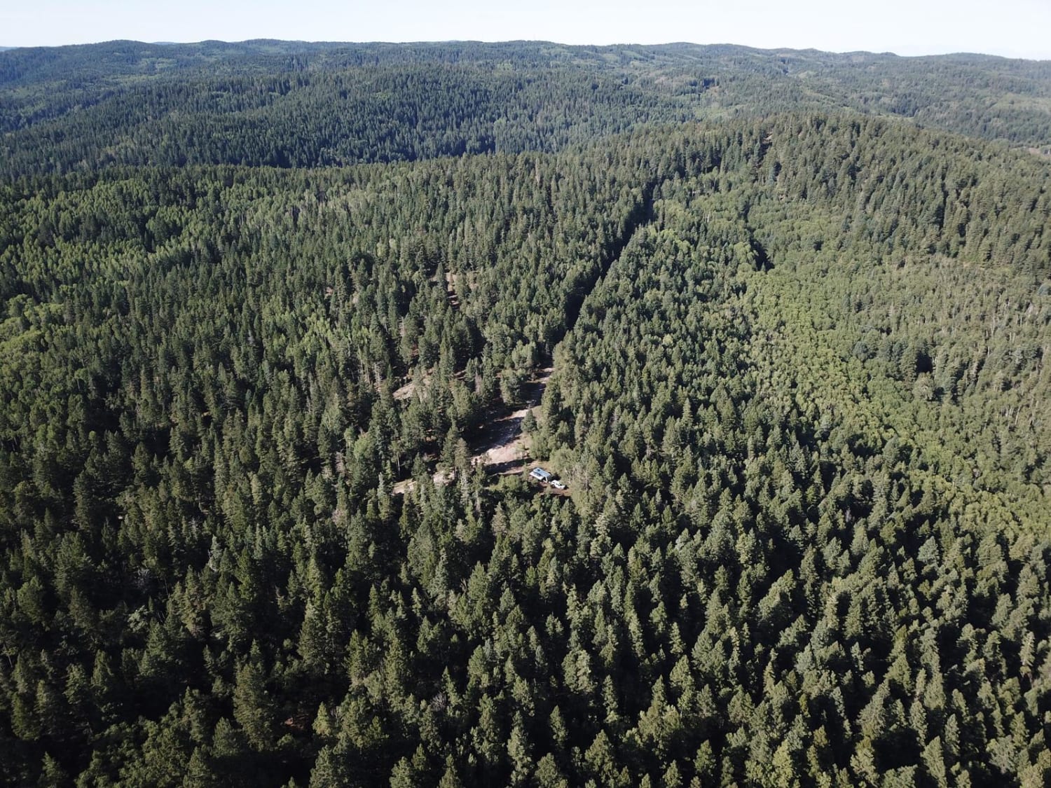
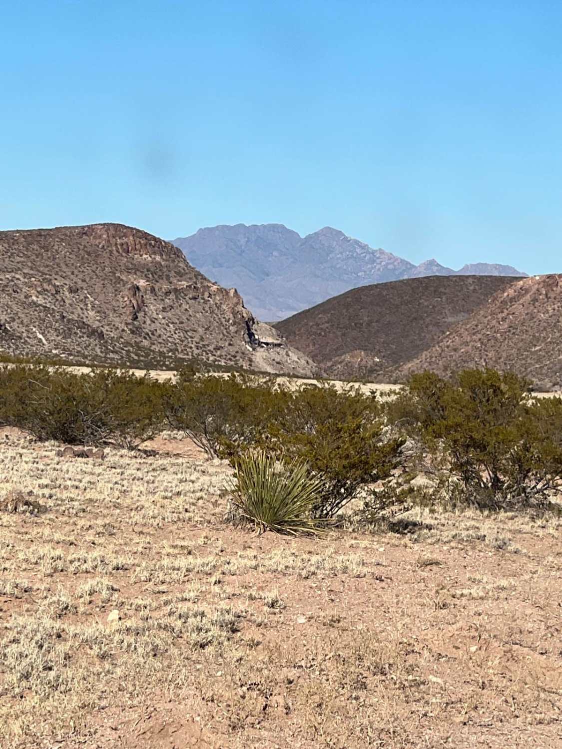
This is the Lincoln National Forest Road 623 from the Sunspot highway to the Chippaway Trailhead. It is rough in places, with plenty of sharp rocks, and there is a large water crossing that can be bypassed through a dispersed camping area. The road is fairly level, and wide enough in most places for two vehicles to pass. Cell service is spotty. The nearest town is Cloudcroft, NM. OHVs with pavement tags are allowed on any Otero County maintained road, but not US 82 that runs through town, or NM130 that goes south out of town, as those are maintained by the state. Local police and sheriff will ticket OHVS on those roads.
Photos of FR623
Difficulty
The trail is rocky in places, and there is potential for large mud holes after rain.
Status Reports
FR623 can be accessed by the following ride types:
- High-Clearance 4x4
- SUV
- SxS (60")
- ATV (50")
- Dirt Bike
FR623 Map
Popular Trails
Forest Loop Road 445
Prather Canyon

BLM-SFNF Connector & Camping
Puertecito of Bowling Green
The onX Offroad Difference
onX Offroad combines trail photos, descriptions, difficulty ratings, width restrictions, seasonality, and more in a user-friendly interface. Available on all devices, with offline access and full compatibility with CarPlay and Android Auto. Discover what you’re missing today!
