Gas Buggy Spur
Total Miles
1.7
Technical Rating
Best Time
Fall, Summer, Spring
Trail Type
Full-Width Road
Accessible By
Trail Overview
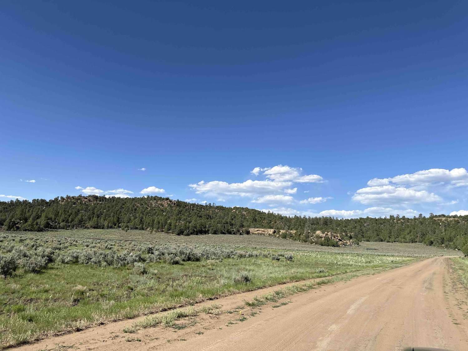
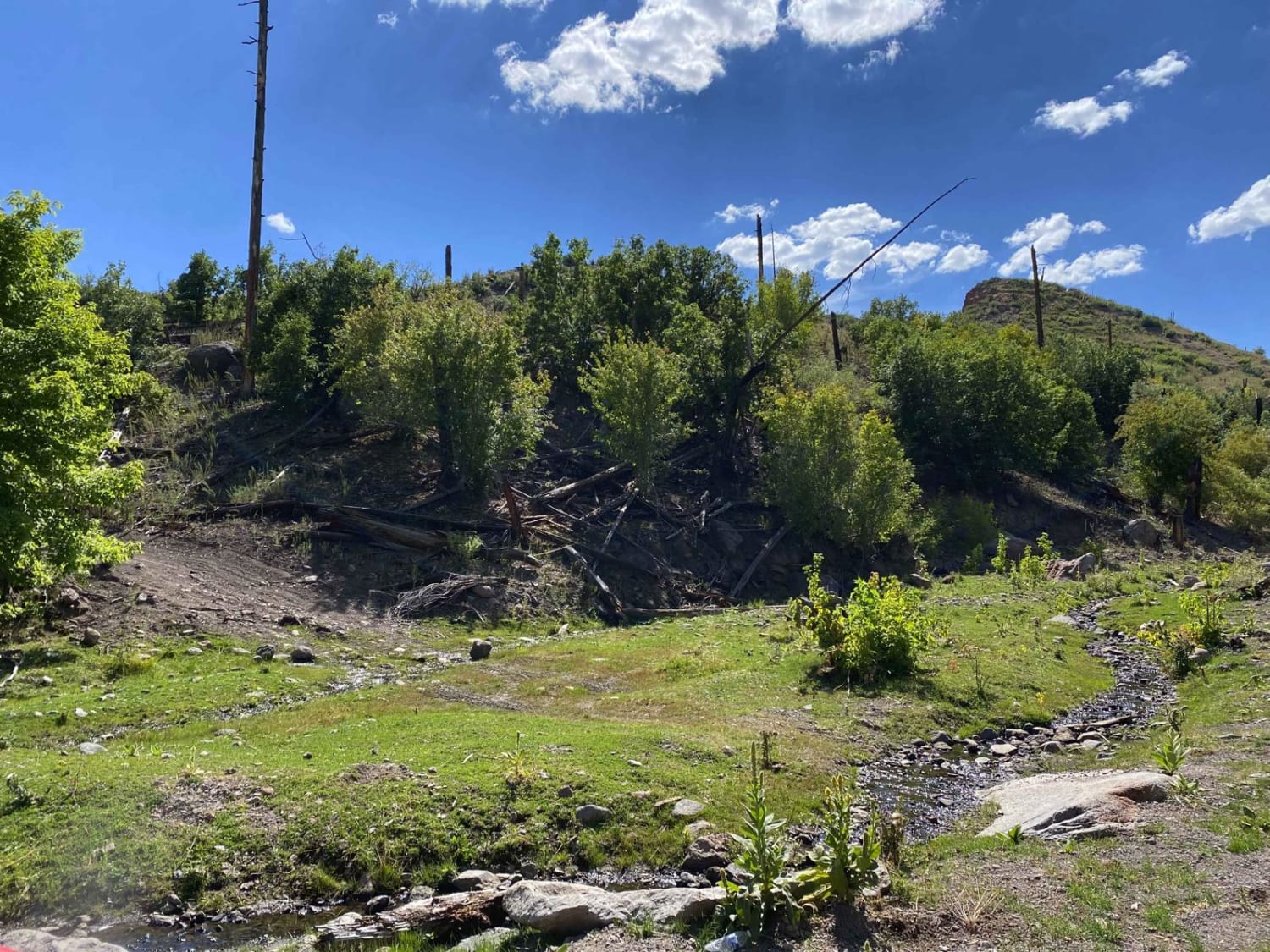
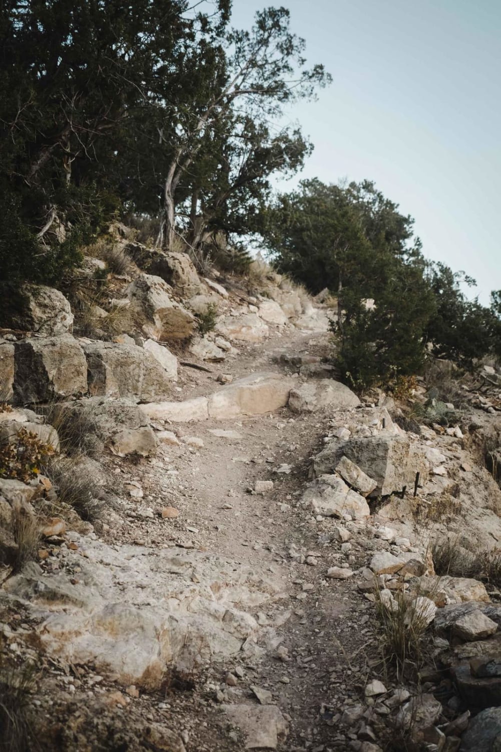
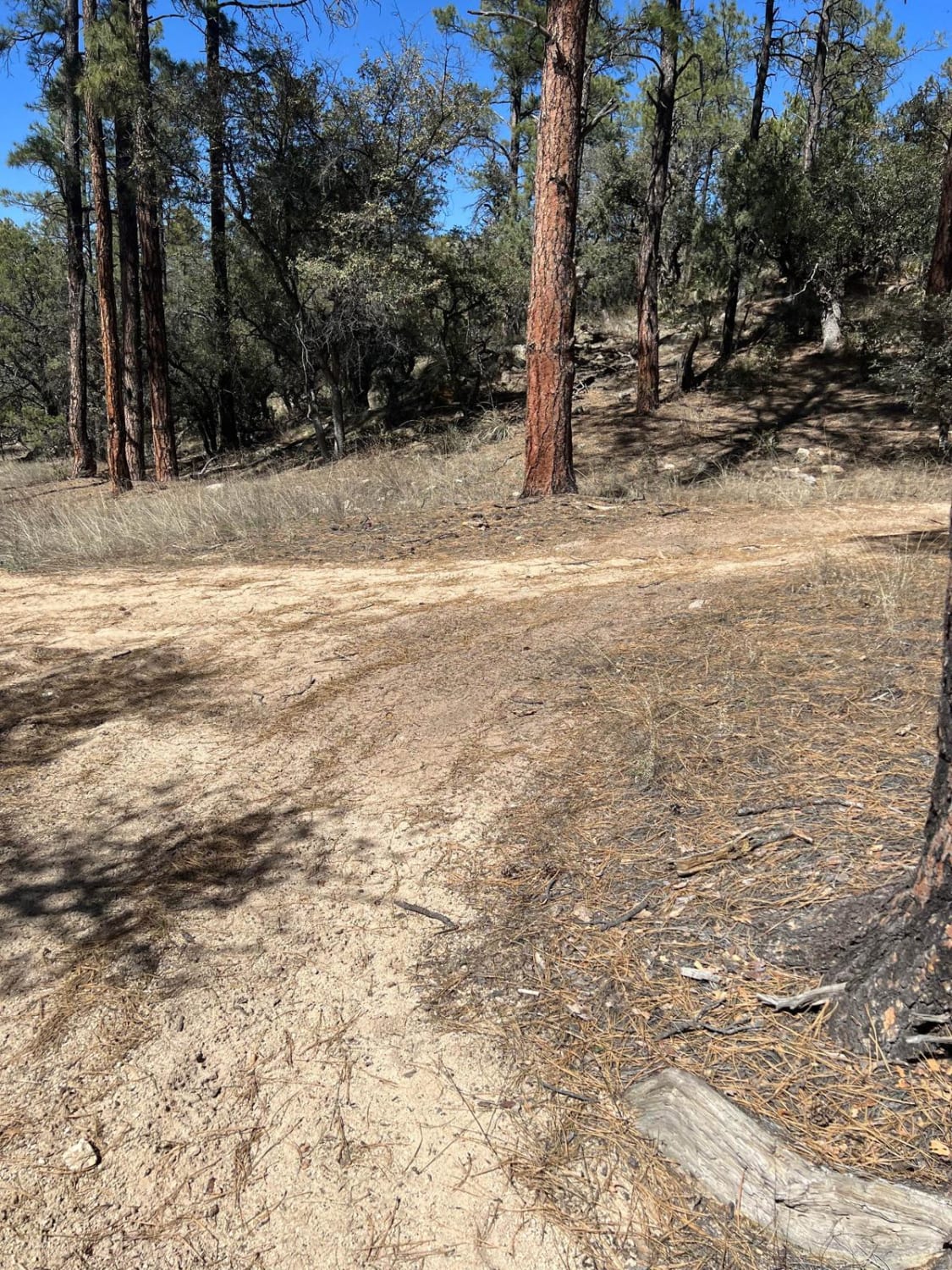
This is a quick spur that takes you from the Cedar Springs Loop to the Gas Buggy Interpretive Site. Not quite wide enough for two cars in many places, it still is suitable for most vehicles, though some side road opportunities require a high-clearance vehicle with 4WD, and there are corrals for trail riding. At the mouth of Leandro Canyon, the elevated trail cuts across a peaceful mountain meadow surrounded by ponderosa pine and blue spruce to deposit you at the dirt parking lot for the site. One way with no side quests, it's a quick 15-minute jaunt off of the Cedar Springs Loop.
Photos of Gas Buggy Spur

Difficulty
The road is 1 large vehicle wide and rutted in places; trailers for horses and camping can make the trip as long as pull-offs are utilized for oncoming traffic.
History
In the late 1950s, the federal government ran Program Plowshare in an attempt to find peaceful, constructive purposes for nuclear power. One of the offshoots of that program was Project Gasbuggy. On December 10, 1967, the United States Atomic Energy Commission funded a nuclear detonation at what is now the Gasbuggy Interpretive Site in an effort to determine if nuclear explosions could be used in fracking for natural gas.Cleanup was conducted, and as the information board at the site states, the EPA regularly tests for radioactivity in the surrounding area and groundwater. After cleanup, a plaque was installed at "Surface Ground Zero" in 1978. More detailed information regarding the Project and its success can be found here: https://aoghs.org/technology/project-gasbuggy/
Status Reports

Popular Trails
Guaje Connector

Carracas Mesa/ NFS 218
The onX Offroad Difference
onX Offroad combines trail photos, descriptions, difficulty ratings, width restrictions, seasonality, and more in a user-friendly interface. Available on all devices, with offline access and full compatibility with CarPlay and Android Auto. Discover what you’re missing today!