Glorieta Baldy
Total Miles
15.1
Technical Rating
Best Time
Spring, Summer, Fall
Trail Type
Full-Width Road
Accessible By
Trail Overview
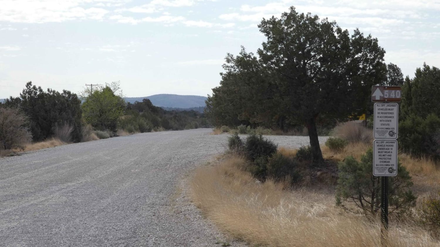
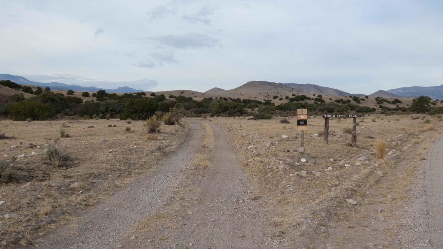
Glorieta Baldy is a trail on the South end of the Pecos Mountain area featuring numerous camp sites and an expansive view of the Pecos/Glorieta area. The trail starts at the back of a neighborhood on La Cueva road, and ascends Glorieta Baldy from there. The first half of the trail is open, with wide roads and a gentle slope. This section shows evidence of fire, with reduced tree cover and undergrowth. Once the trail crosses an old stream bed, the route ascends to the baldy through a pine forest, with occasional aspens and extensive wildflowers. At the top there is an old fire lookout tower, along with a view point with picnic tables and vault toilets.
Photos of Glorieta Baldy
Difficulty
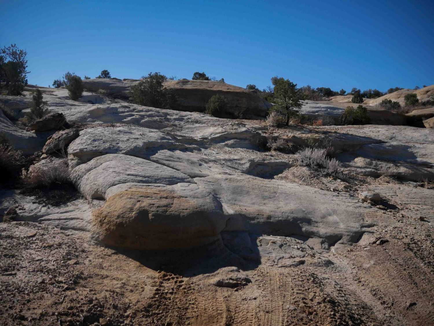
The trail is not difficult, but does have a couple of steeper sections that would make me hesitate about taking a Subaru or other AWD vehicle with a CVT up this trail. Additionally, during monsoon season the clay like dirt can get slippery very quickly. Its mostly a 2 until the creek bed, and then escalates somewhat from there.
Status Reports
Glorieta Baldy can be accessed by the following ride types:
- High-Clearance 4x4
- SUV
- SxS (60")
- ATV (50")
- Dirt Bike
Glorieta Baldy Map
Popular Trails

Scenic Drive

Kiowa Mountain

Glade Run Access Trail

Old Spanish Trail
The onX Offroad Difference
onX Offroad combines trail photos, descriptions, difficulty ratings, width restrictions, seasonality, and more in a user-friendly interface. Available on all devices, with offline access and full compatibility with CarPlay and Android Auto. Discover what you’re missing today!

