Jim Lewis Canyon
Total Miles
8.7
Technical Rating
Best Time
Spring, Summer, Fall, Winter
Trail Type
Full-Width Road
Accessible By
Trail Overview
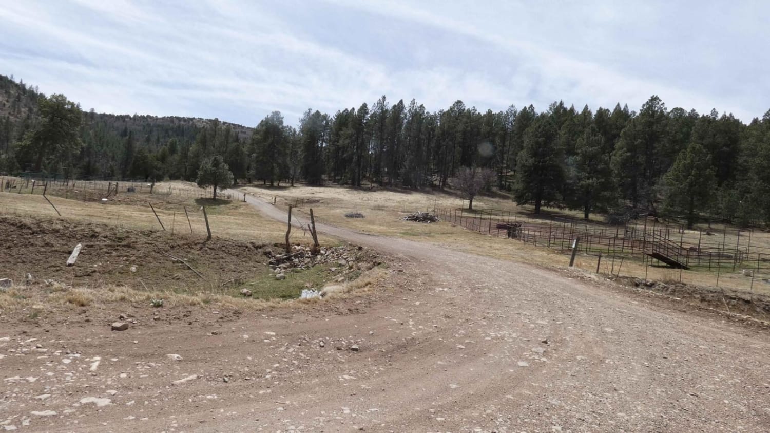
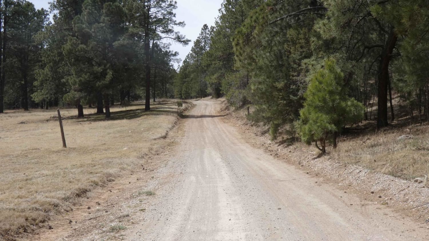
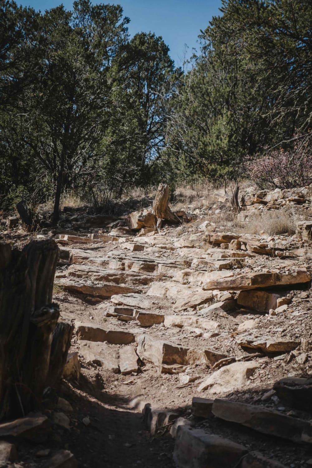
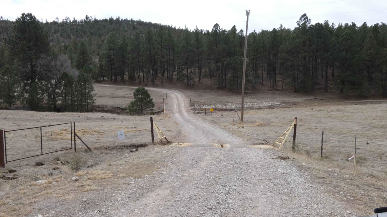
Jim Lewis Canyon is a well-maintained forest service road lined with tall pines and connects from Weed Road/Perk Canyon/171 to Agua Chiquita Road at the west end. There are several dispersed camping sites along the route with the surface being primarily dirt with some rock. This trail will be easily completed by most AWD and 4x4 vehicles and is primarily two vehicles wide with some areas being slightly more narrow with room to pass. Some shallow rutting is present, expect the road to be muddy after rain or snow and an increase in rutting. Small rock gardens are present at the west end near Agua Chiquita Rd., but there are no obstacles larger than 8". Low-lying washes will provide some shallow water crossings after rain or snow melts. There are some motorized and hiking spurs along the trail and a few wide-open meadows within the canyon. Take note of private land along the route as no camping is permitted in these areas and speeds should be reduced. There is no cell service in this area.
Photos of Jim Lewis Canyon
Difficulty
There is a potential for shallow water crossings. Muddy after rain with rutting. Small rock garden towards the west end of the road.
Status Reports
Jim Lewis Canyon can be accessed by the following ride types:
- High-Clearance 4x4
- SUV
- SxS (60")
- ATV (50")
- Dirt Bike
Jim Lewis Canyon Map
Popular Trails
Bear Springs Road Continued

FR 69 American Park
Bluewater Canyon
The onX Offroad Difference
onX Offroad combines trail photos, descriptions, difficulty ratings, width restrictions, seasonality, and more in a user-friendly interface. Available on all devices, with offline access and full compatibility with CarPlay and Android Auto. Discover what you’re missing today!
