Laguna Seca Mesa
Total Miles
8.2
Technical Rating
Best Time
Spring, Summer, Fall
Trail Type
Full-Width Road
Accessible By
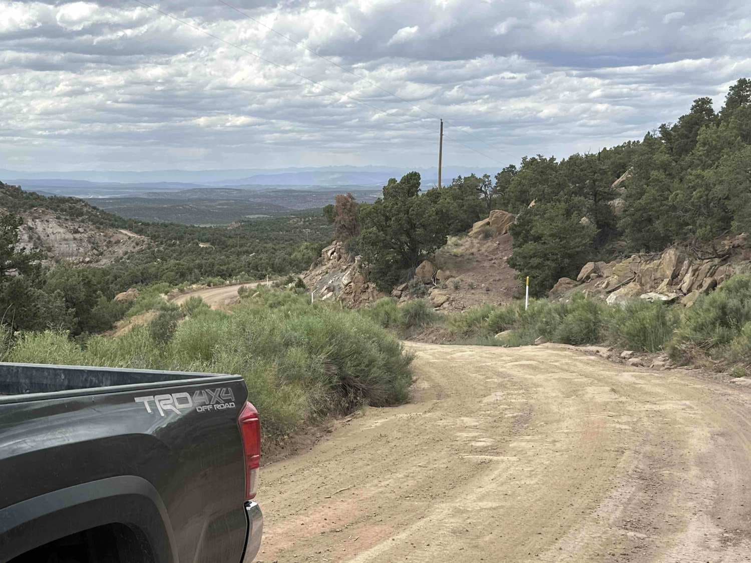
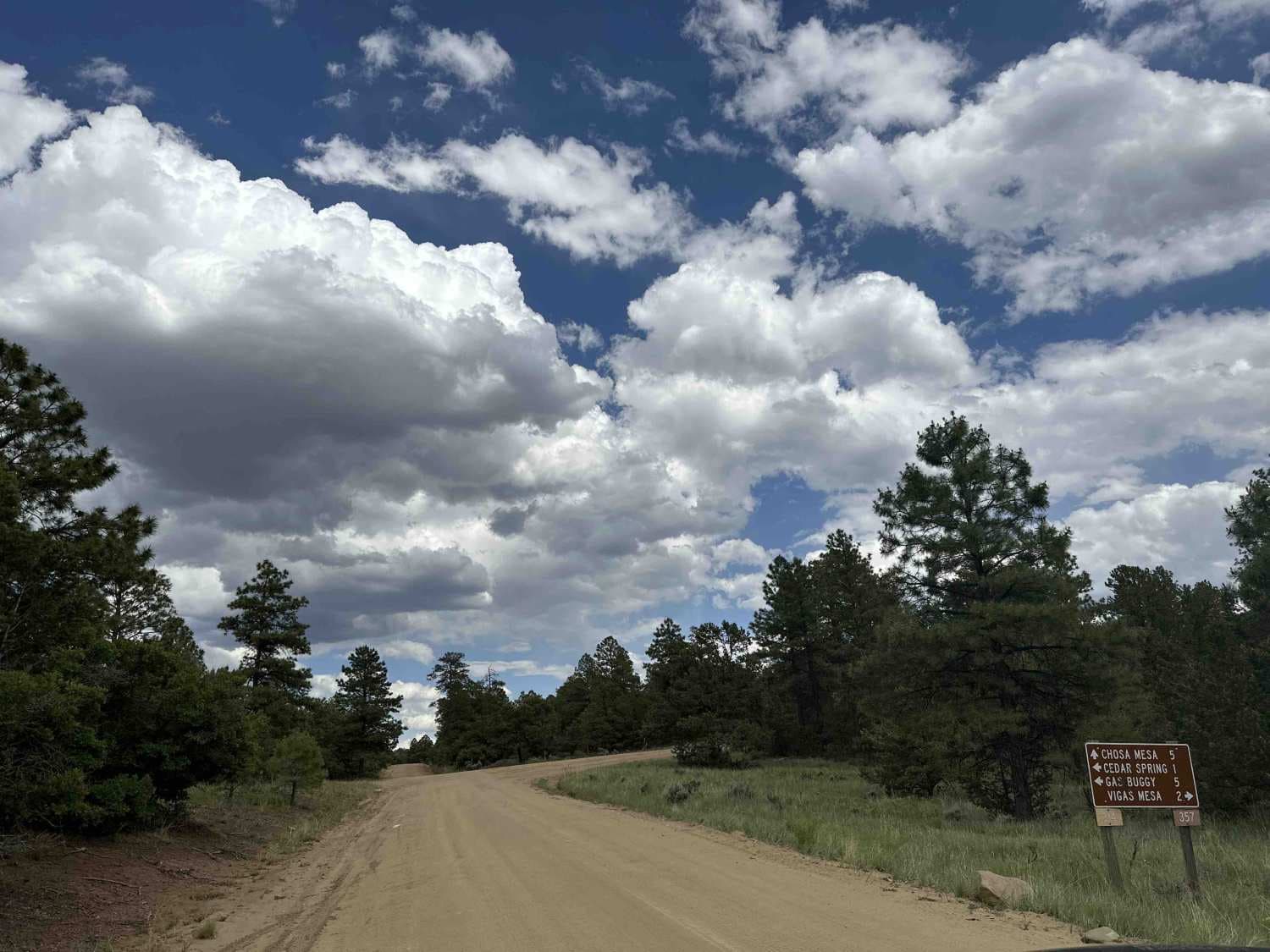
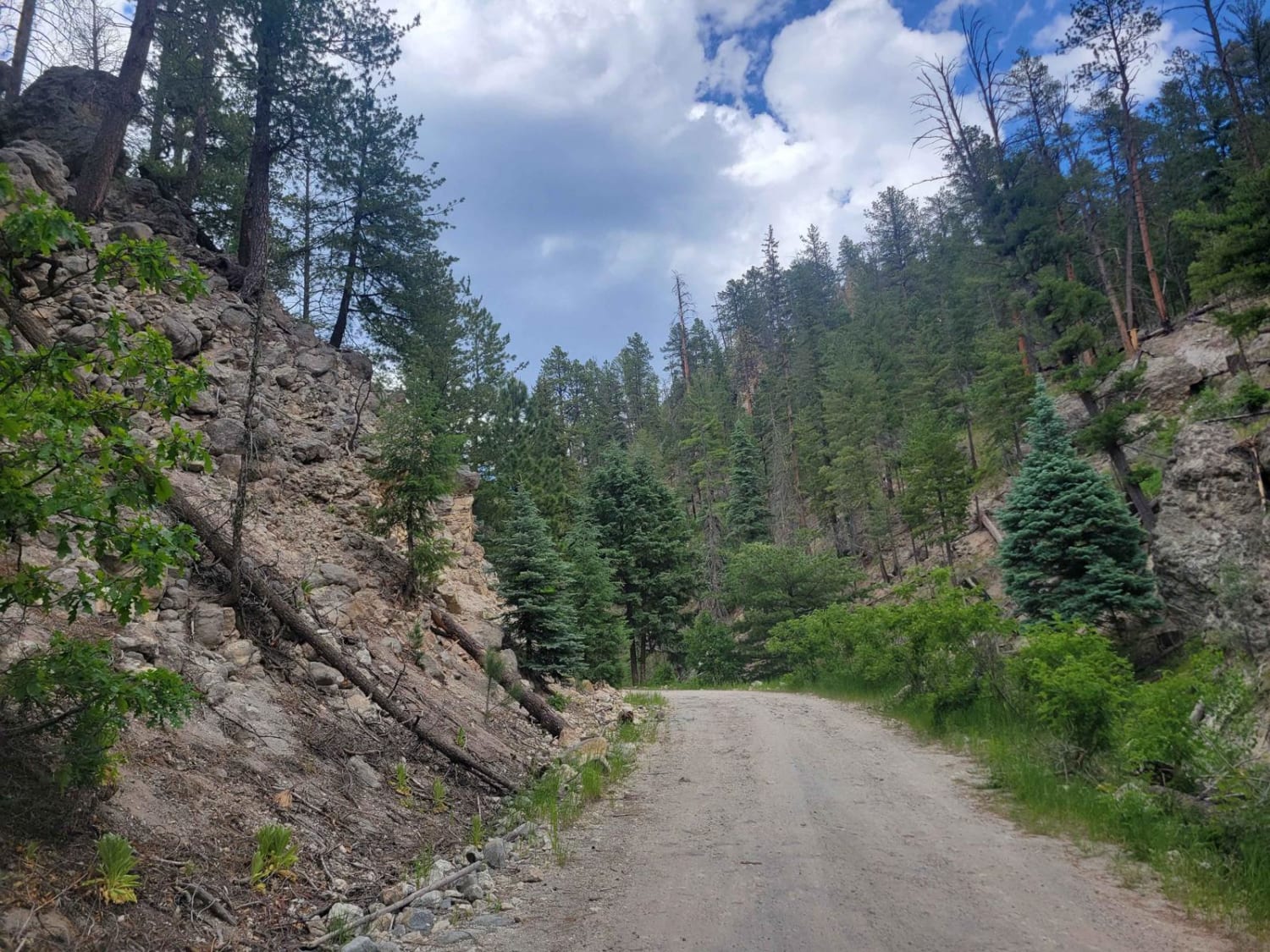
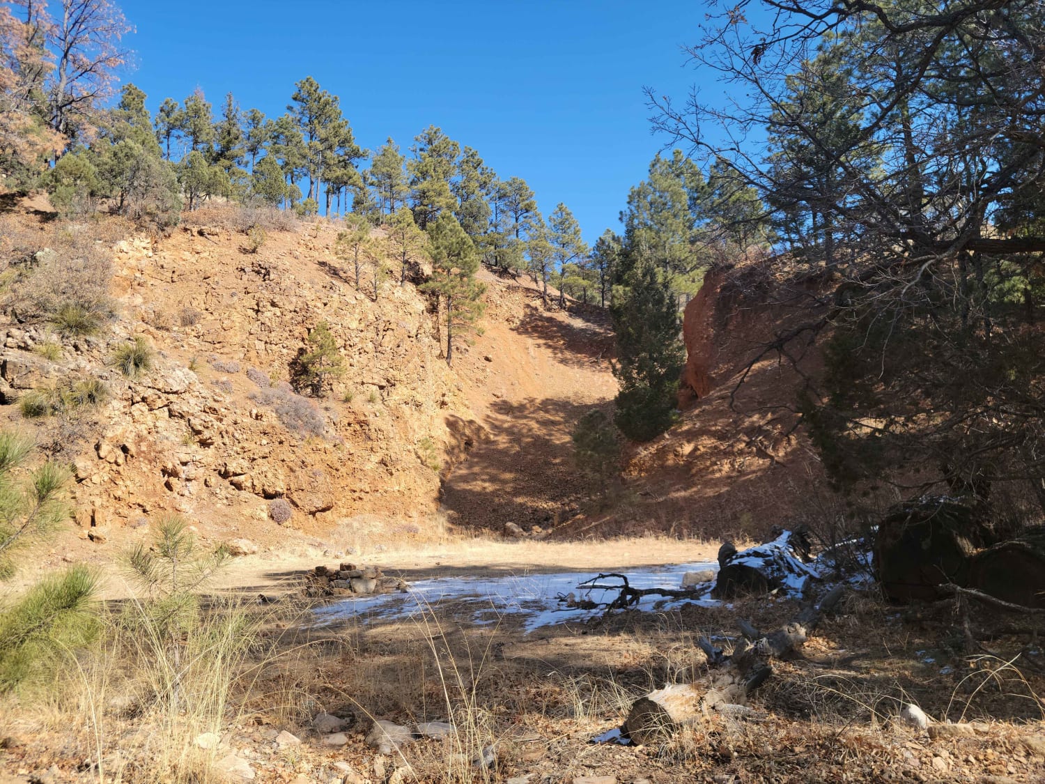
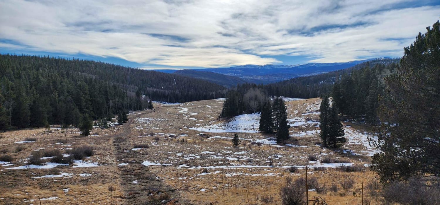
Trail Overview
This route starts at US Route 64. Initially following oil roads on BLM land, it climbs a little over 700 feet through sagebrush, juniper and pinon pine to the top of Laguna Seca Mesa and Carson National Forest. There are a lot of stunning views and vistas on both sides of the trail, out to the San Juan Mountains in Colorado southwest to Santos Peak While initially rough, once it crosses over to Carson National Forest it becomes a well kept, NFS road cutting through ponderosa pines, blue spruce and gambel oak.
Photos of Laguna Seca Mesa
Difficulty
The road is narrow in some places and has some bare, uneven rock while on the way to the top of the mesa, but once you enter Carson National Forest the road is fairly well-groomed.
Status Reports

Popular Trails
Sulphur Springs Road
Red Cloud Trail
FS 44 El Rito to Vallecitos
Forest Road 722
The onX Offroad Difference
onX Offroad combines trail photos, descriptions, difficulty ratings, width restrictions, seasonality, and more in a user-friendly interface. Available on all devices, with offline access and full compatibility with CarPlay and Android Auto. Discover what you’re missing today!