Lower Pine
Total Miles
1.8
Elevation
2,153.52 ft
Duration
0.5 Hours
Technical Rating
Best Time
Spring, Fall, Winter
Trail Overview
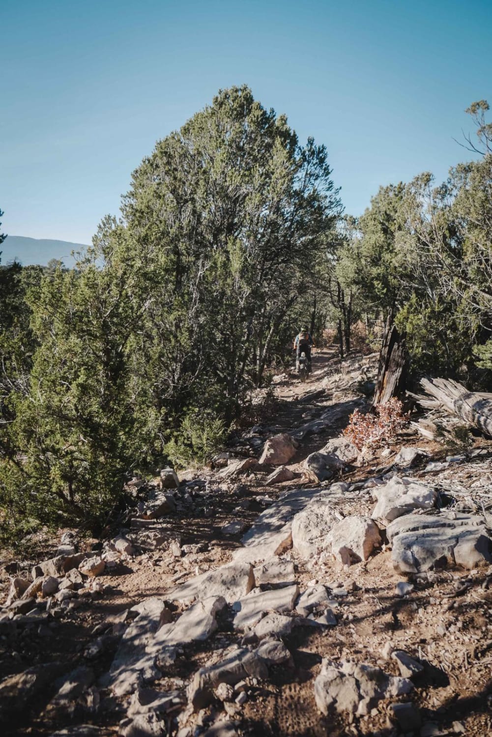
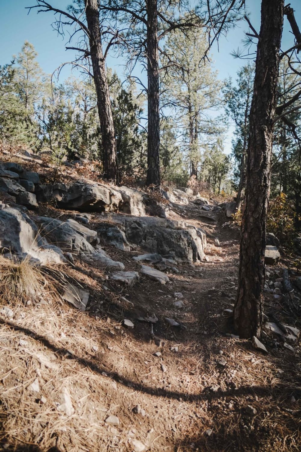
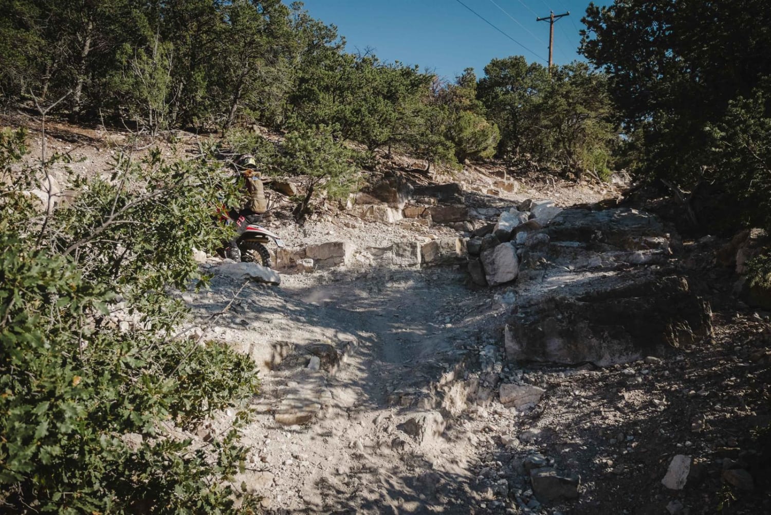
Lower Pine is a 2-mile single track in the Manzanita Mountain Trail System that starts at the Lower Pine Trailhead on the north end and goes south to the intersection with Gear Grinder. This trail has several very rocky climbs/descents with slab rock, small ledges, and loose rock. The north end has one big slab obstacle right away of moderate difficulty and then goes through a grassy valley bottom with fewer rocks. The trail climbs 400 feet up to the intersection with Gear Grinder and Pinyon, with several steeper climbs that are trickier with rock ledges. If riding south to north, note that there is a misleading trail sign at the entrance of the Pinyon Trail that makes it look like Lower Pine goes northeast on a hike/horse-only trail. The actual start of the Lower Pine Trail when coming from the south is right next to Gear Grinder and starts off looking like a wider two-track. The trail sign just isn't in the right place.
Photos of Lower Pine
Difficulty
Lower Pine is an intermediate single track with moderate obstacles such as slab rock, several foot-high ledges, and very rocky climbs/descents.
Status Reports
Popular Trails
BLM-SFNF Connector & Camping
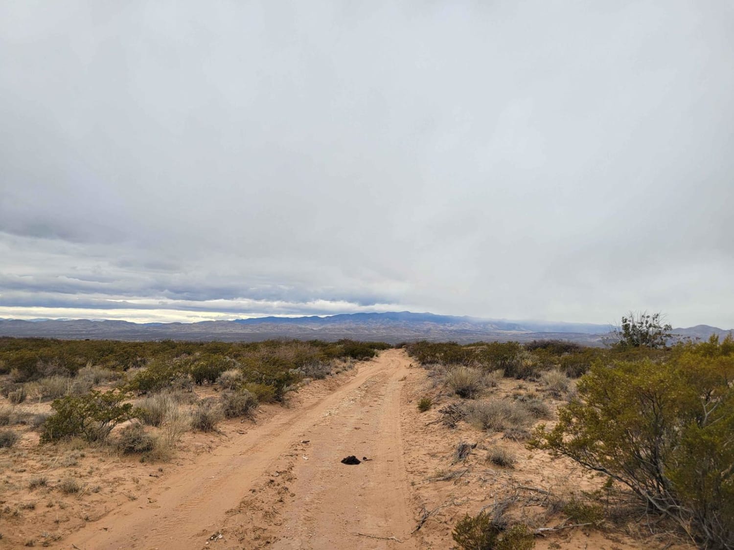
Bosequecito Desert Crossing
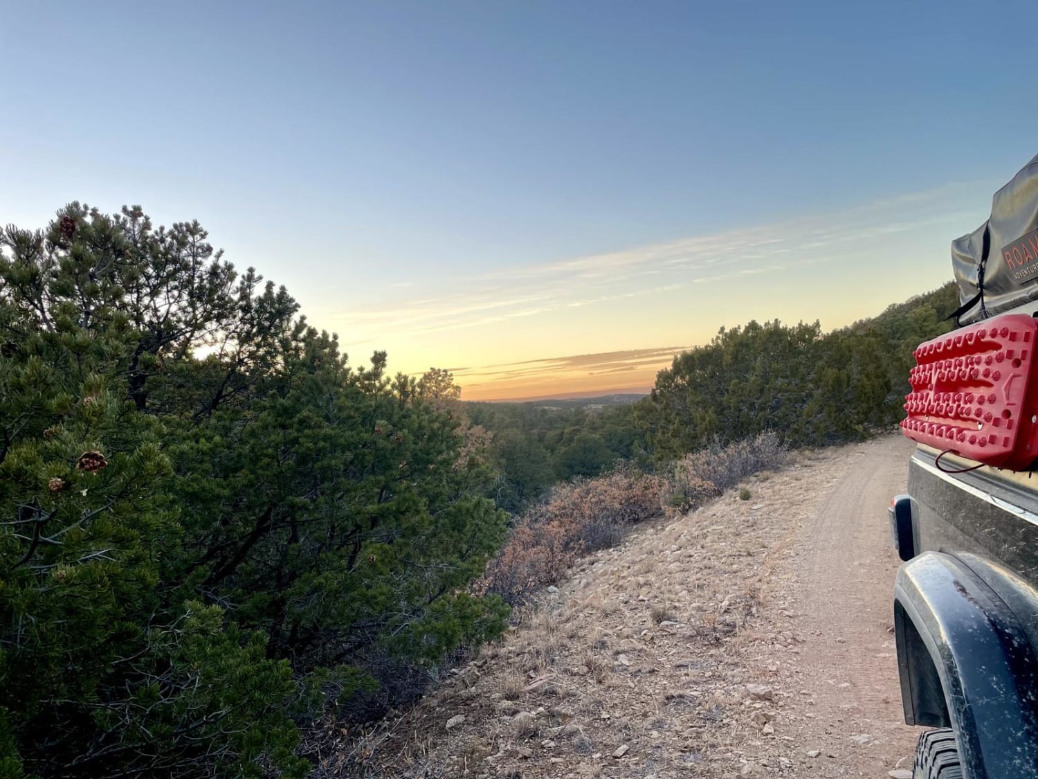
Elk Standoff
The onX Offroad Difference
onX Offroad combines trail photos, descriptions, difficulty ratings, width restrictions, seasonality, and more in a user-friendly interface. Available on all devices, with offline access and full compatibility with CarPlay and Android Auto. Discover what you’re missing today!
