Palo Duroso Canyon
Total Miles
8.3
Elevation
2,644.06 ft
Duration
2 Hours
Technical Rating
Best Time
Spring, Summer, Fall
Trail Overview
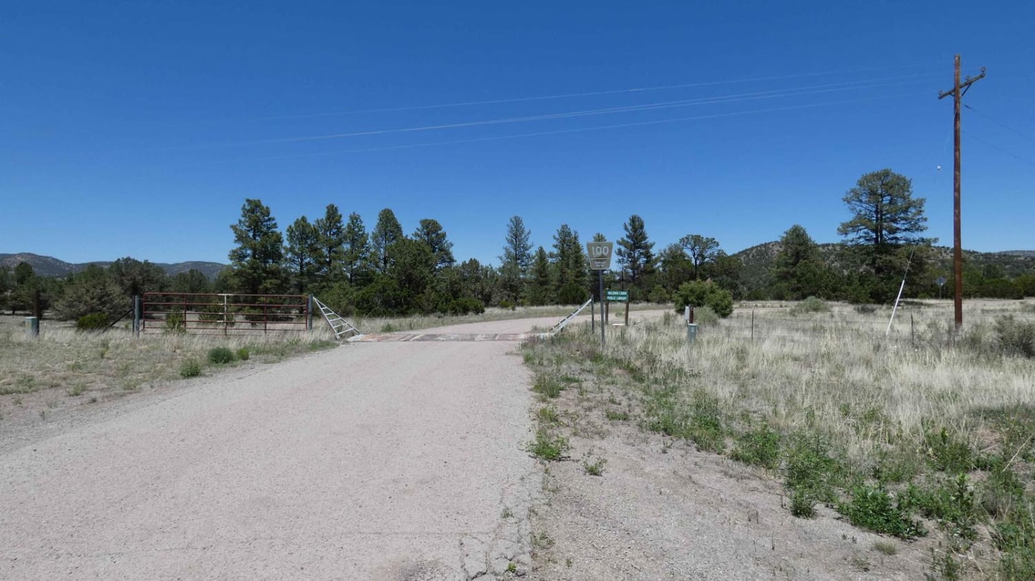
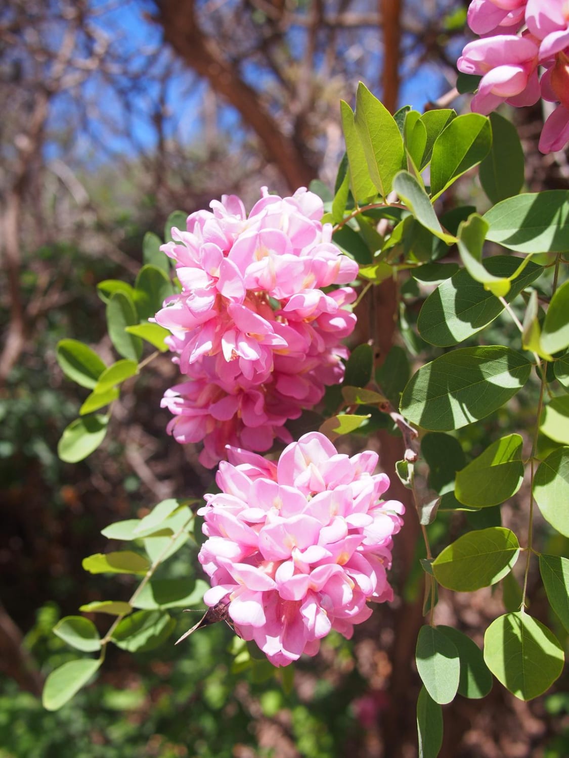
This trail is on the back side of the Sandia Mountain range. You can access this trail via Highway 165 in Placitas, New Mexico, or Highway 536 in Cedar Crest, New Mexico, off Highway 14. From Highway 165, there is a little spot to pull off and air down, right before the road turns to dirt. Despite appearing on most maps as New Mexico State Road 165, Palo Duroso Canyon is an unimproved dirt road from the time it leaves Placitas until it meets 536 going to Sandia Crest. This road is not maintained in snow or rain and is closed from time to time due to these weather events. While Placitas and most of the areas north of the mountains are deserts, Palo Duroso quickly transitions from desert to mountain pine forests with wildflower blooms. The first half of the trail is accessible year-round and features multiple picnic locations with tables and bathrooms maintained by USFS. It also features Sandia Cave, an archaeological site featuring early human artifacts. While the archaeological elements have been removed, the canyon is open to the public and has cliff-side views of the entire canyon. The second half of the trail ascends out the back of the canyon toward the crest. This portion of the ride is somewhat more difficult and prone to being completely covered in snow in the winter for months at a time. Great views are visible both back up the canyon as well as to the northwest once the canyon is cleared. At the end of the trail, a 15-minute drive leads to Sandia Crest, or 25 minutes back down into Tijeras. When not covered in snow, the entire trail is accessible in virtually any crossover or SUV, while the first half is accessible to most passenger cars. However, when snowed in, the trail should only be attempted by those with good tires and recovery gear. When covered in snow, the trail represents a significant but fun challenge. Traffic on the road is steady, providing a good safety net in the event of getting stuck, and most of the sections near cliffs have barriers limiting the potential damage, even in adverse road conditions. Keep an eye out for the wild apple trees that grow here as well--they are delicious.
Photos of Palo Duroso Canyon
Difficulty
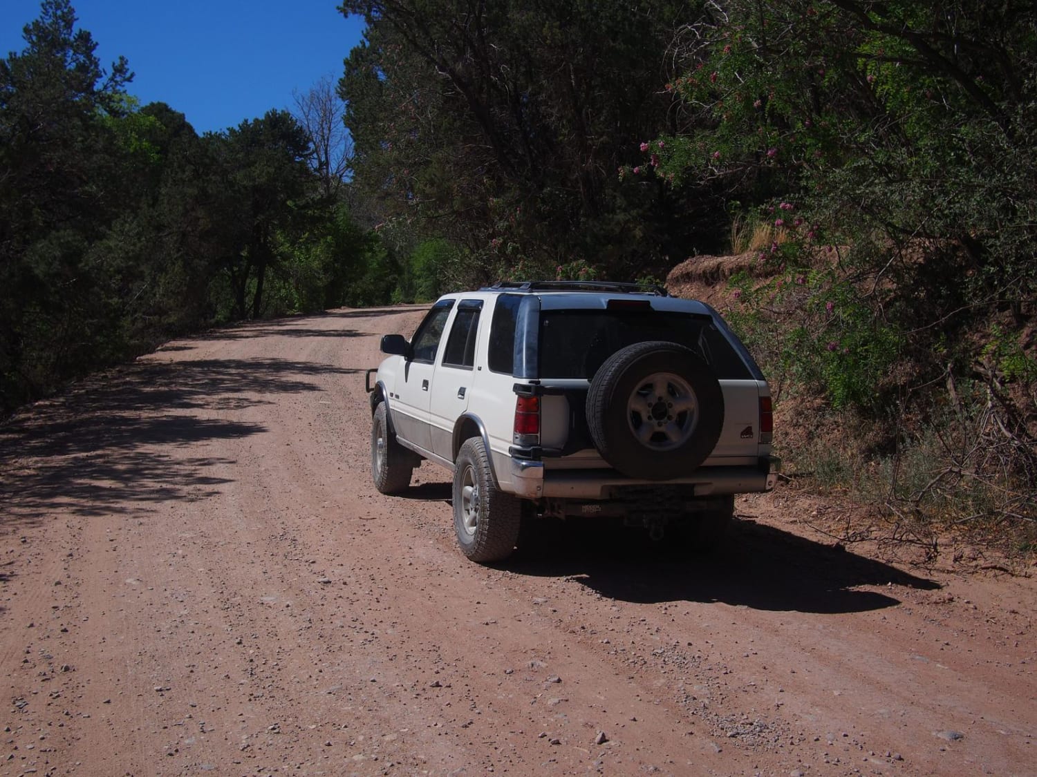
Unless there is winter weather, this trail is very easy. The first half is a wide, well-maintained gravel road, and the second half is a wide, equally well-maintained dirt road. It is a gorgeous drive on a dirt road, but in the event of winter weather, it is downright challenging. After rain, it can get muddy and in some places slippery. While portions of this road are easily accessible to all vehicles, the portion climbing out of the canyon definitely should not be attempted in mini vans or cars, which regularly get stuck there because it's listed as a state road.
Status Reports
Popular Trails

FR 93 Red Mud Rumble

Drag A FS100

Muddy Slane Cut
The onX Offroad Difference
onX Offroad combines trail photos, descriptions, difficulty ratings, width restrictions, seasonality, and more in a user-friendly interface. Available on all devices, with offline access and full compatibility with CarPlay and Android Auto. Discover what you’re missing today!


